


Hohe Tauern Overview
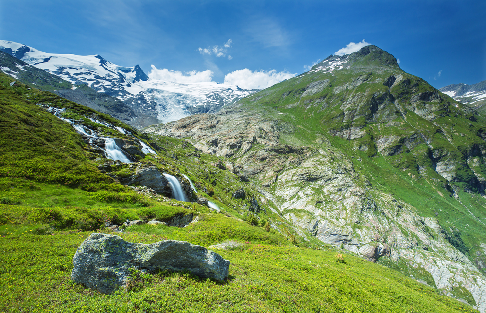
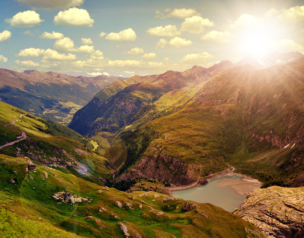
Hohe Tauern National Park, located in Austria, is an awe-inspiring expanse of natural beauty and the largest national park in Central Europe. Encompassing an area of approximately 1,856 square kilometers (about 716 square miles), the park stretches across three Austrian states: Carinthia, Salzburg, and Tyrol. Established in 1981, it protects a diverse range of ecosystems and landscapes, from towering mountain peaks and glaciers to verdant valleys and waterfalls, offering a spectacular representation of the Alpine region’s natural heritage.
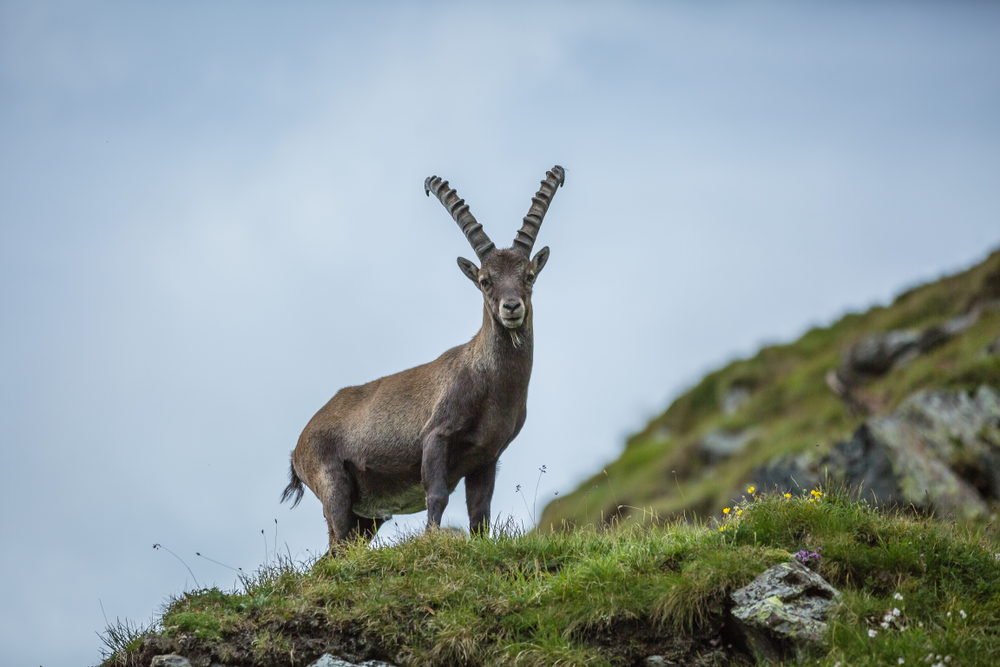
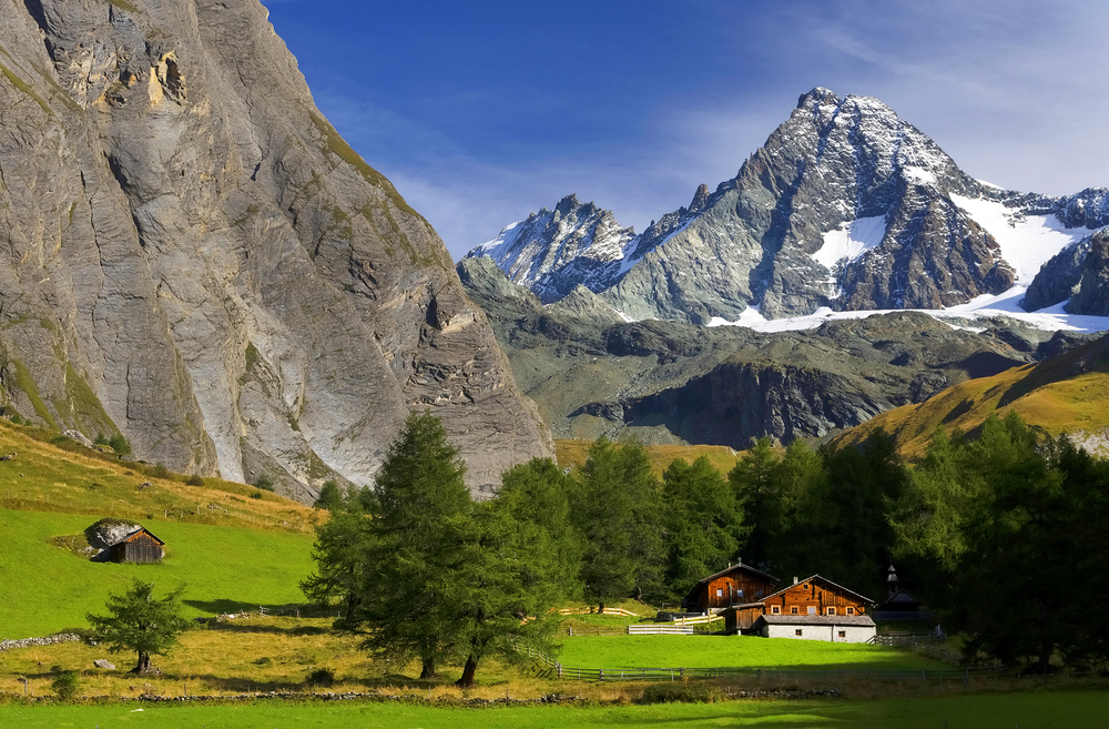
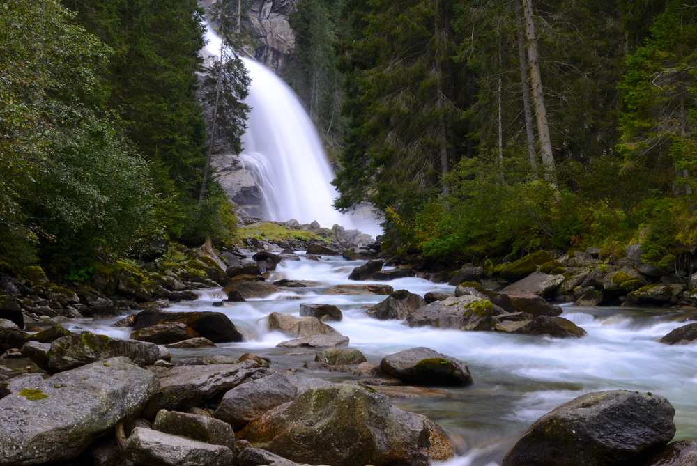
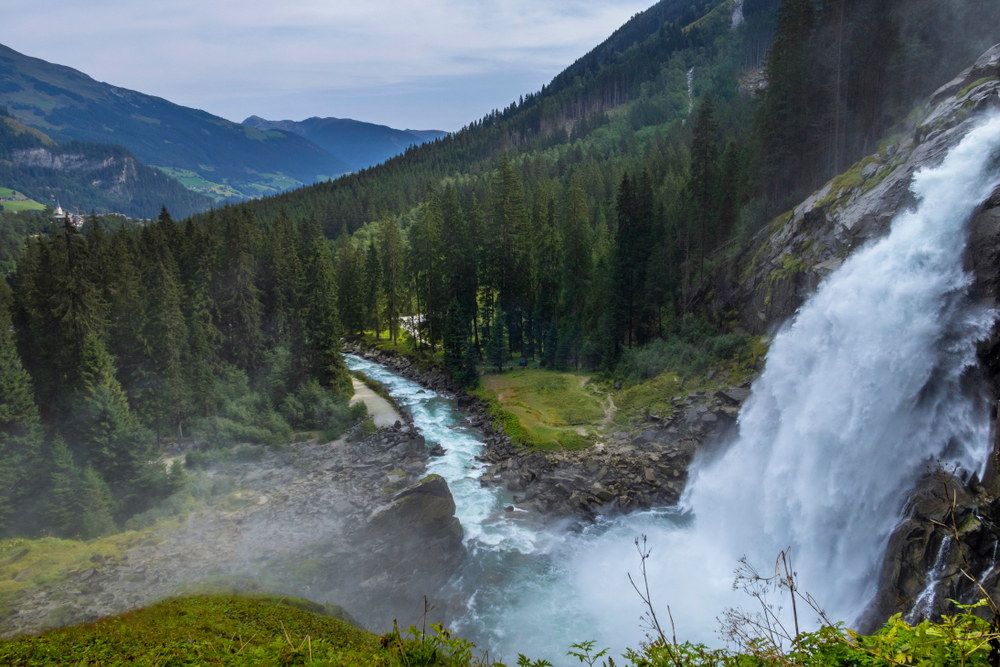
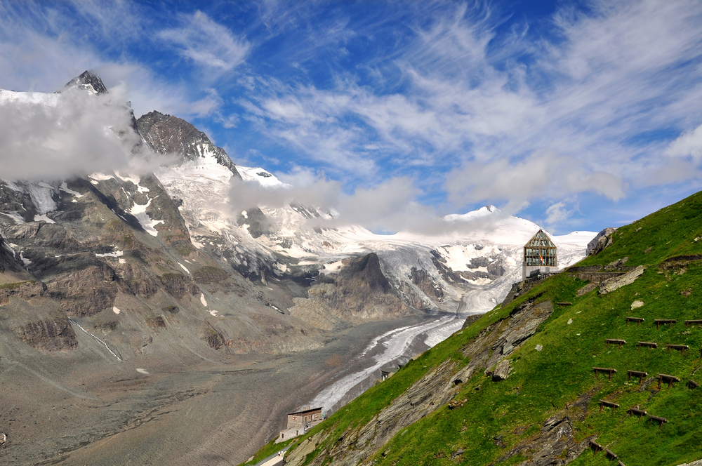
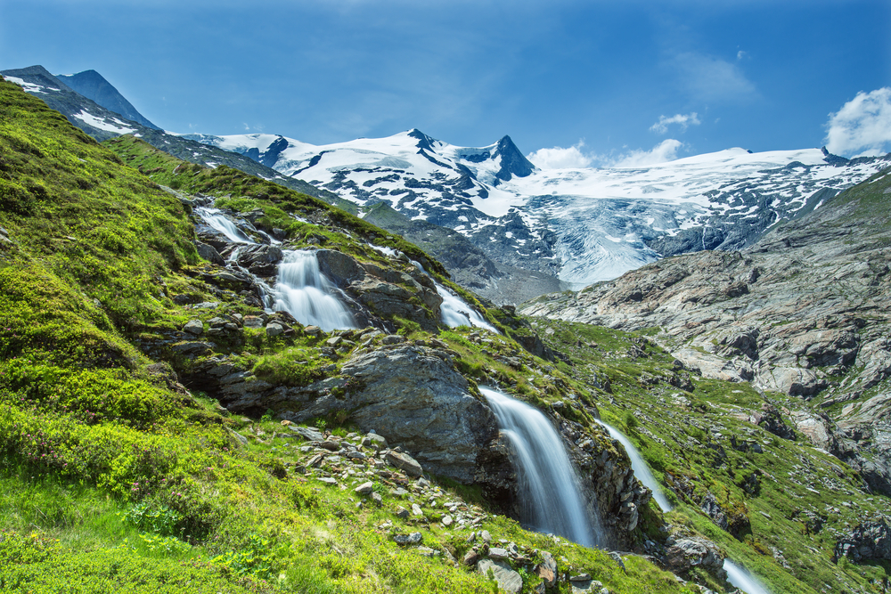
At the heart of Hohe Tauern National Park lies the Grossglockner, Austria’s highest peak, reaching 3,798 meters (12,461 feet) above sea level, surrounded by more than 300 mountains over 3,000 meters high. The park is also home to the Pasterze Glacier, the largest glacier in Austria, and the Krimml Waterfalls, one of the highest waterfalls in Europe. This varied topography creates unique habitats for a rich biodiversity, including endemic species and rare flora and fauna, such as the Alpine ibex, golden eagles, and the elusive edelweiss.
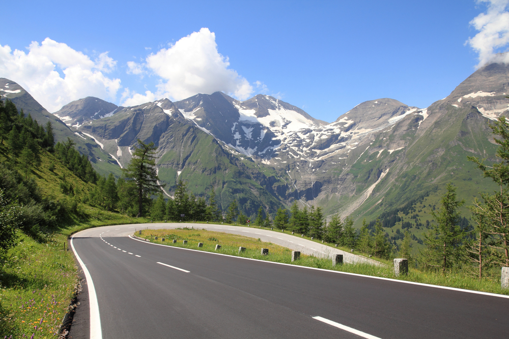
Hohe Tauern National Park is a haven for outdoor enthusiasts, offering countless opportunities for hiking, mountaineering, skiing, and nature observation. Its extensive network of trails and educational paths allows visitors to explore the park’s natural wonders and learn about its ecosystems and conservation efforts. The park also plays a crucial role in scientific research and environmental education, promoting sustainable tourism and awareness of alpine ecosystems’ importance and fragility.
The national park is not only a place of recreation and natural beauty but also a significant conservation area, protecting the Alpine region’s ecological integrity and cultural heritage. Hohe Tauern National Park represents a commitment to preserving Austria’s stunning landscapes for future generations, making it a must-visit destination for anyone seeking to experience the majesty and diversity of the Alps.

Park Map
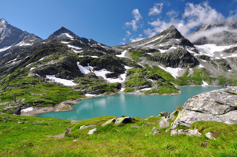
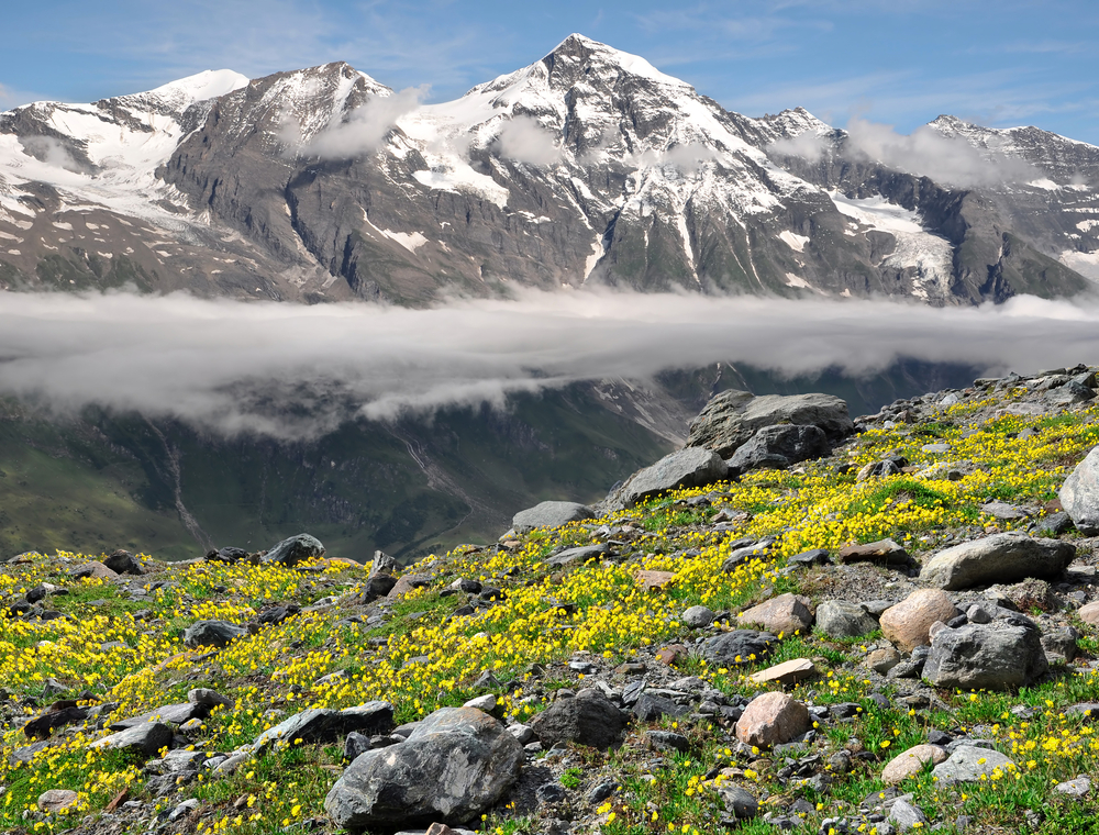
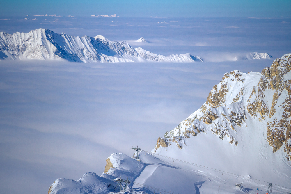
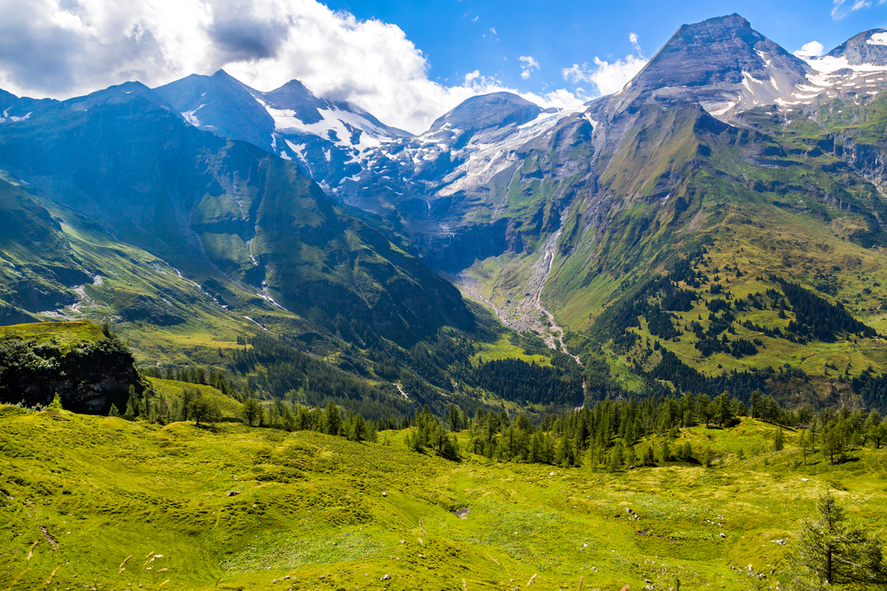
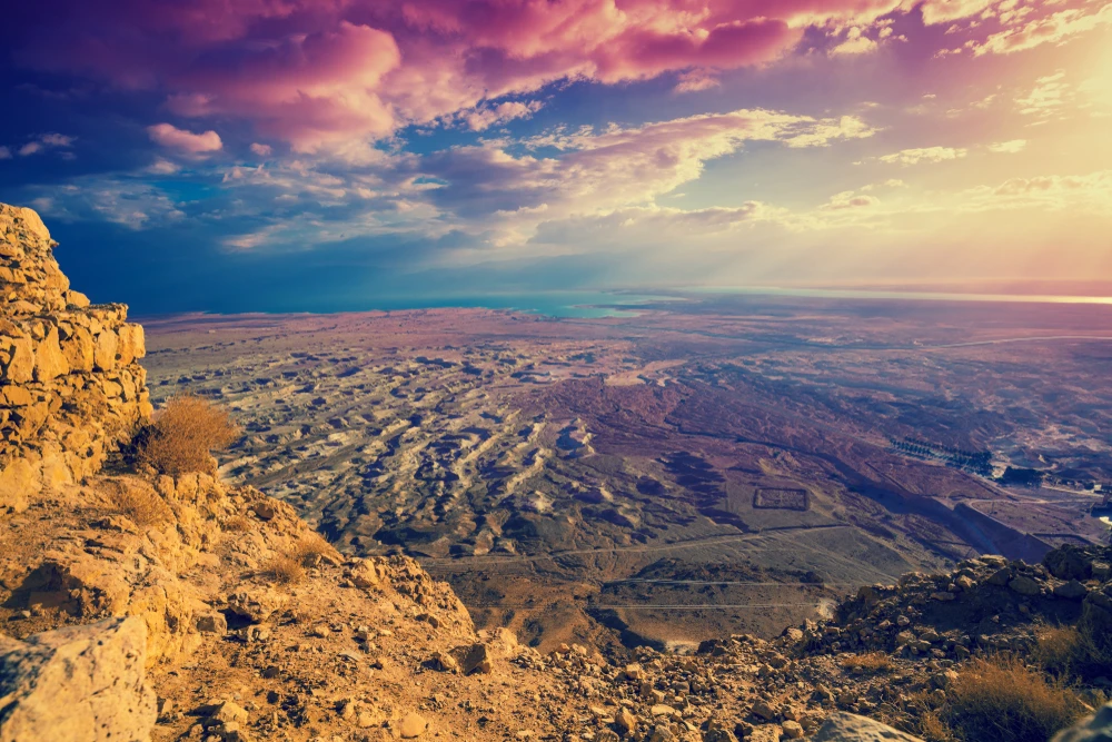
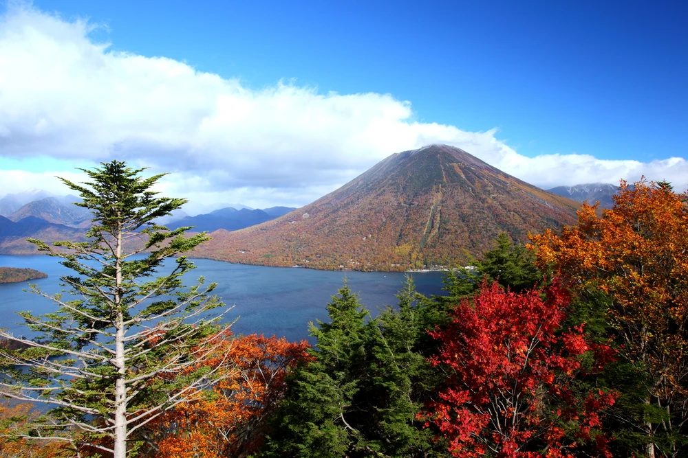
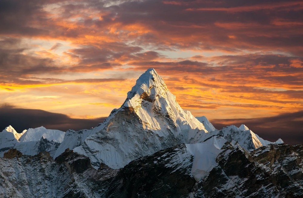
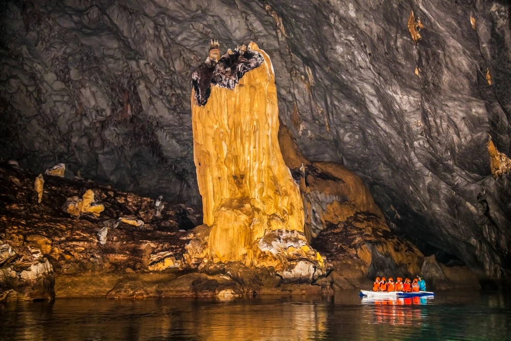
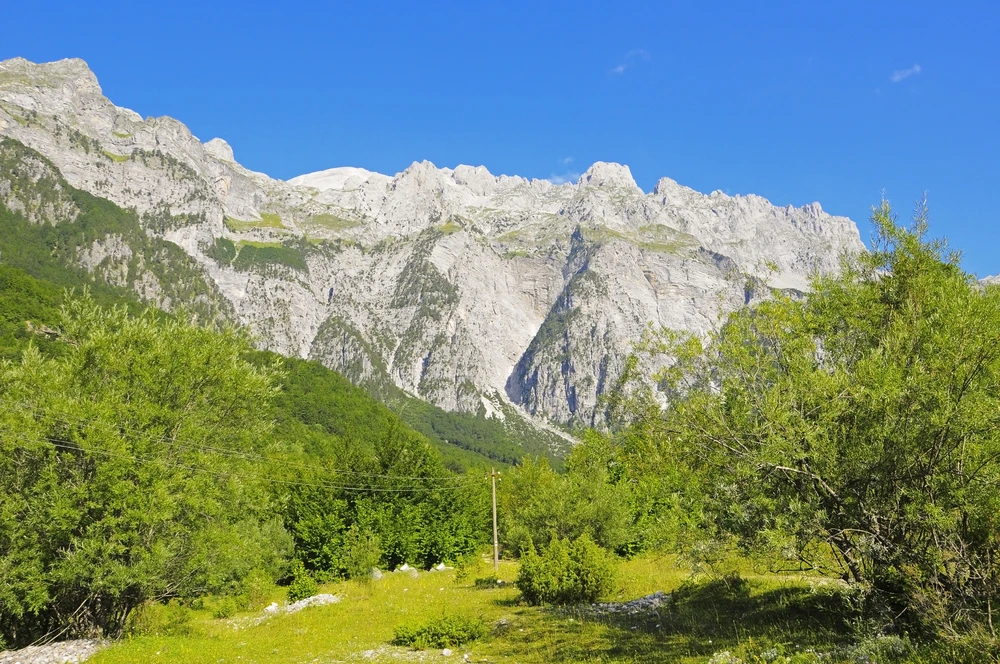
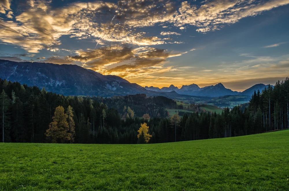
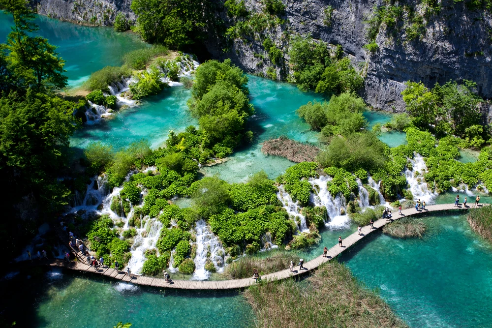
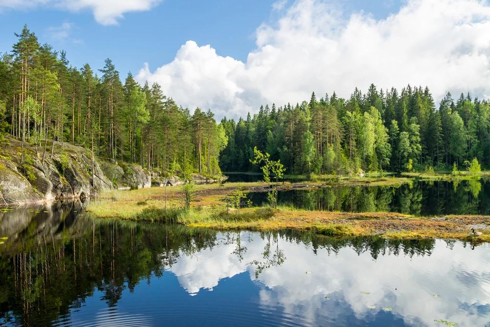
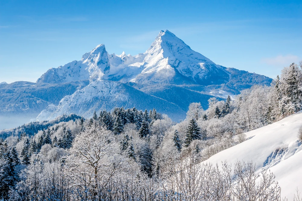
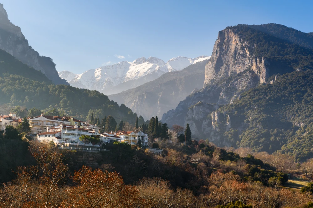
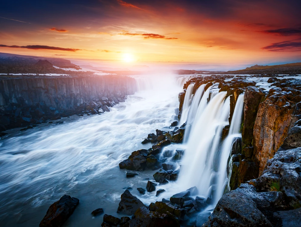
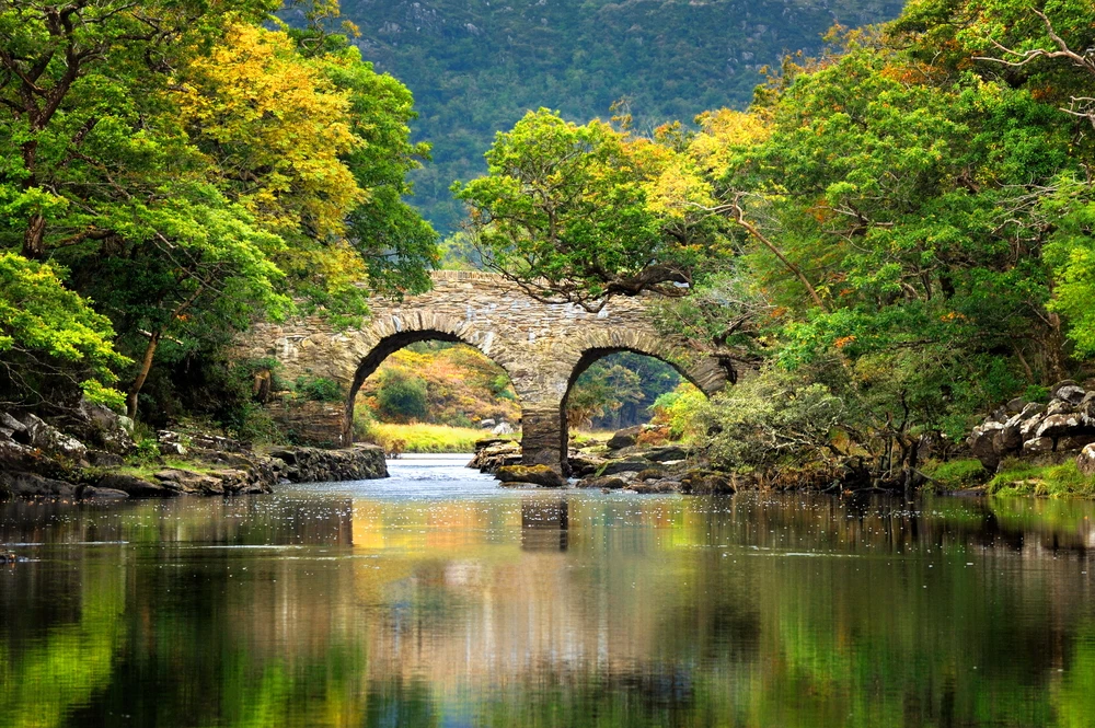
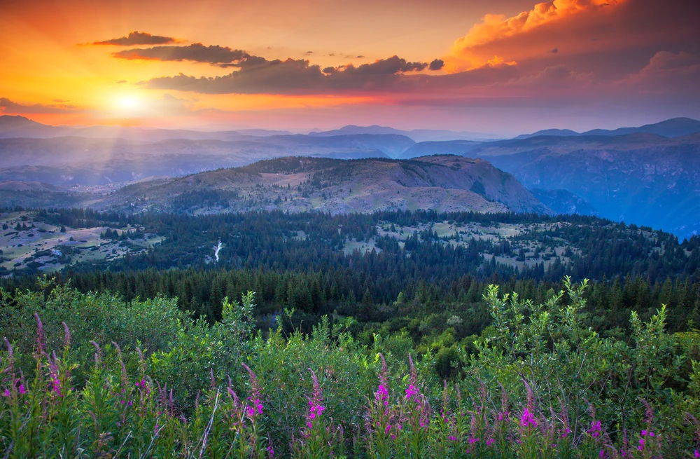
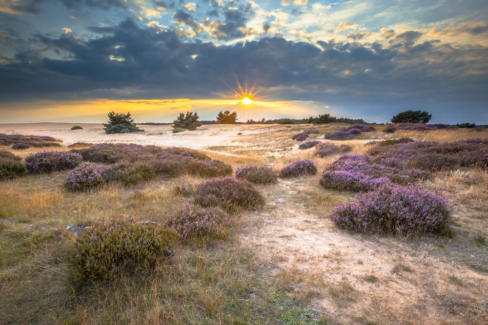
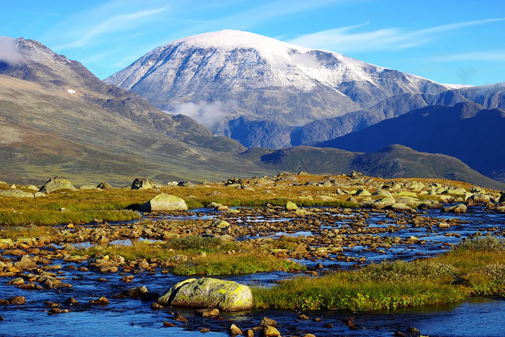
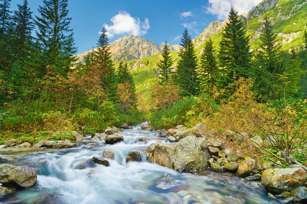
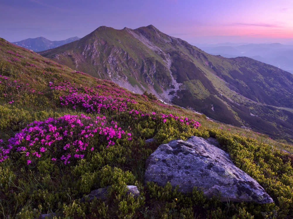
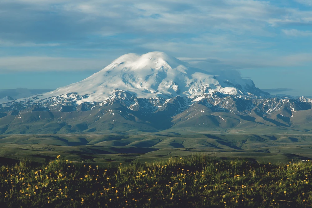
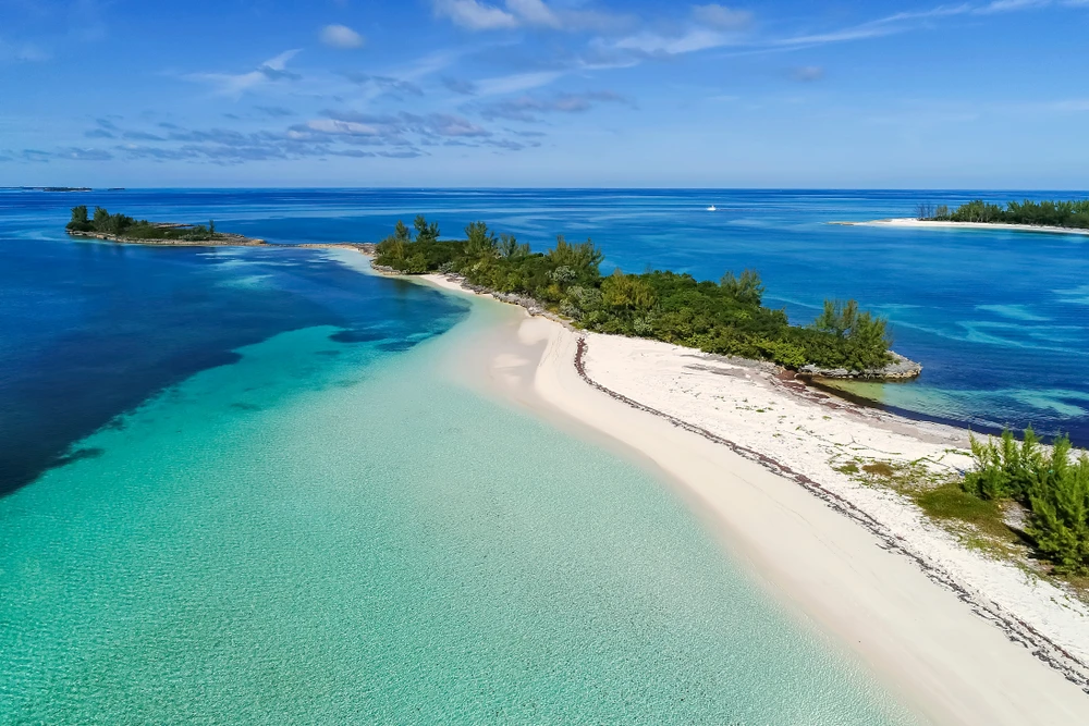
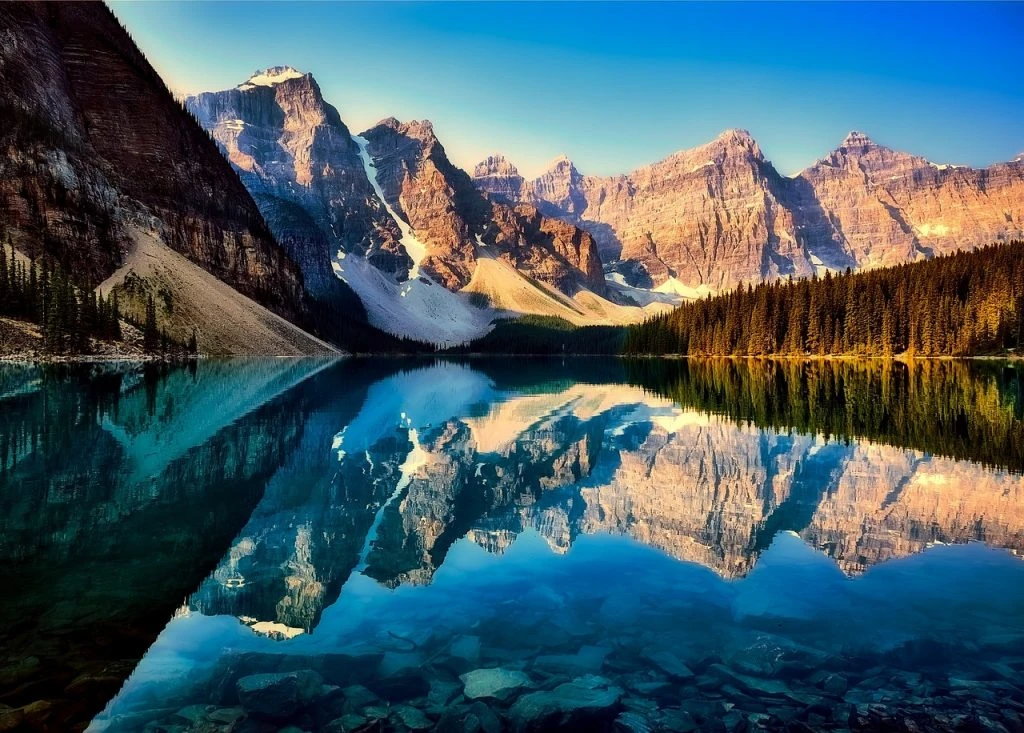
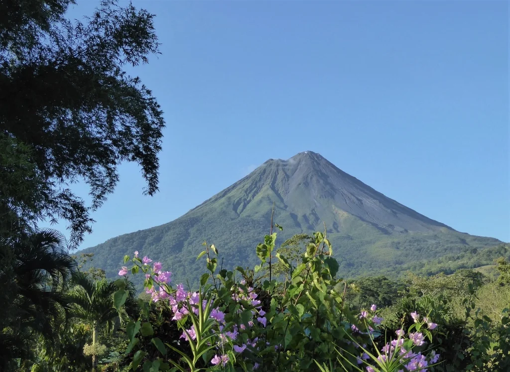
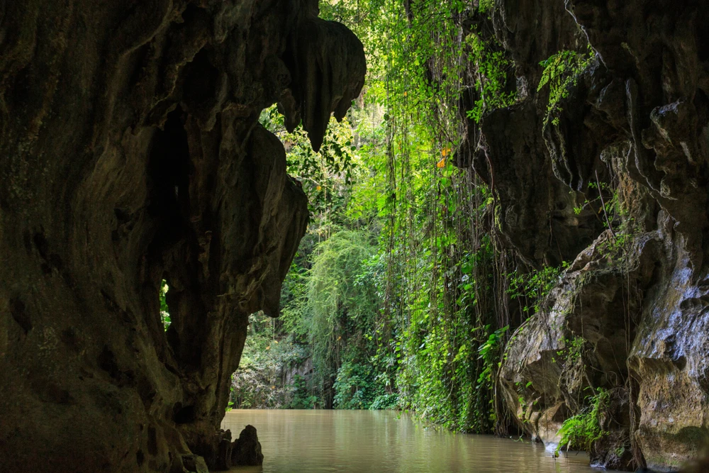
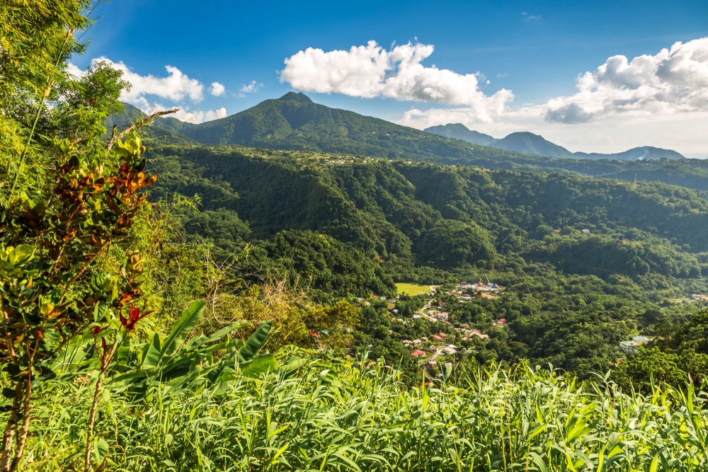
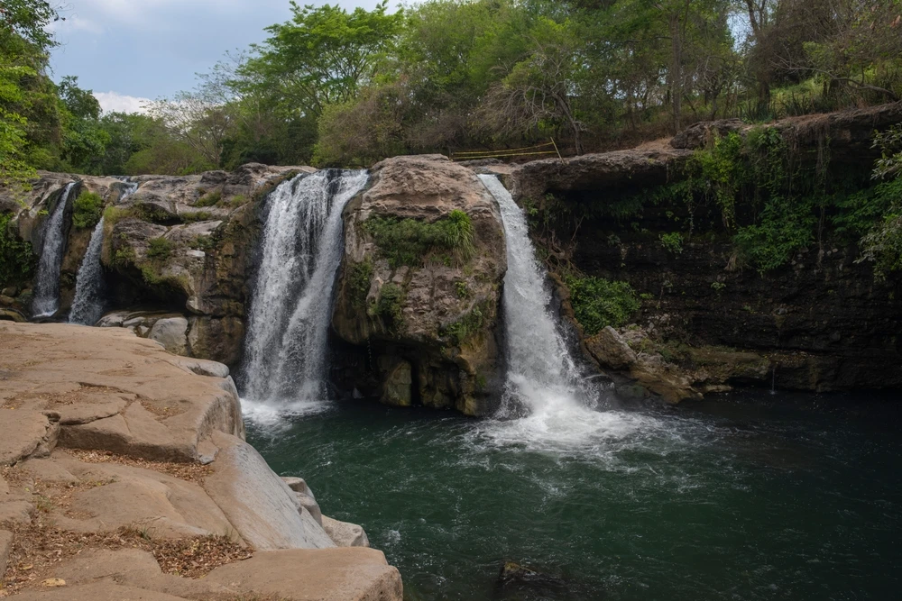
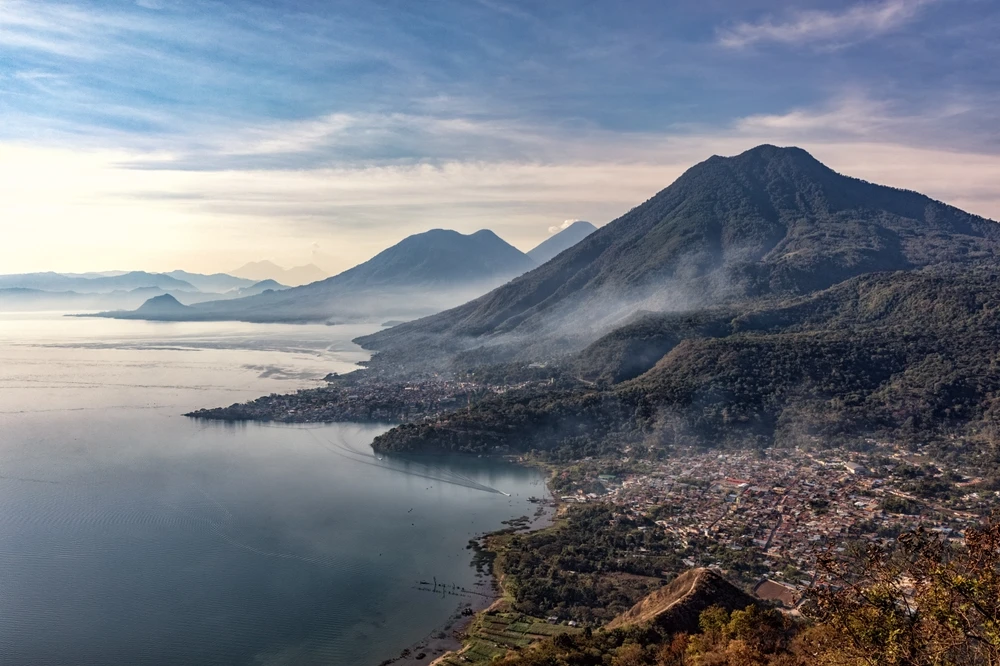
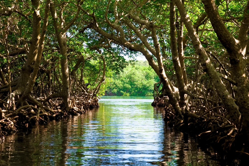
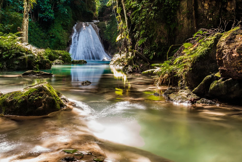
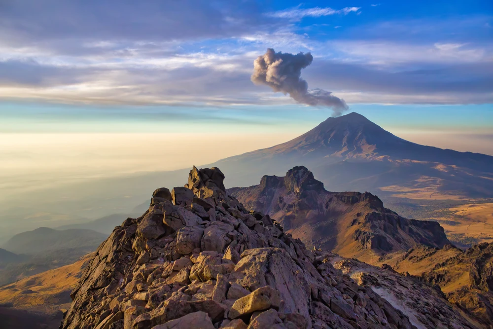
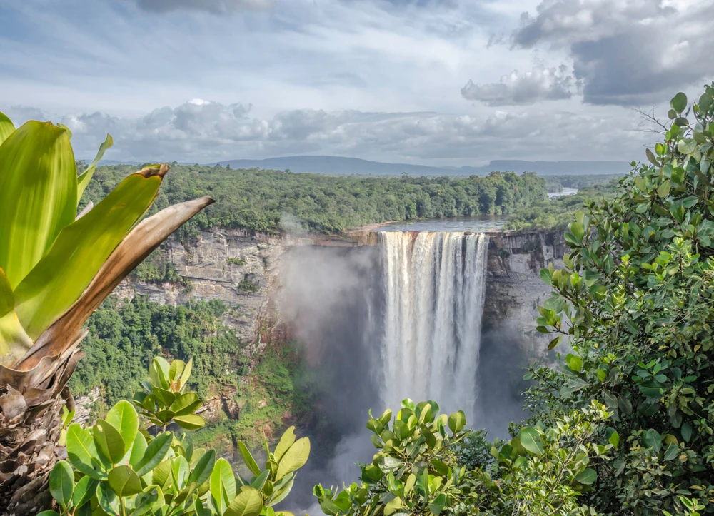
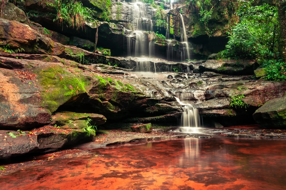
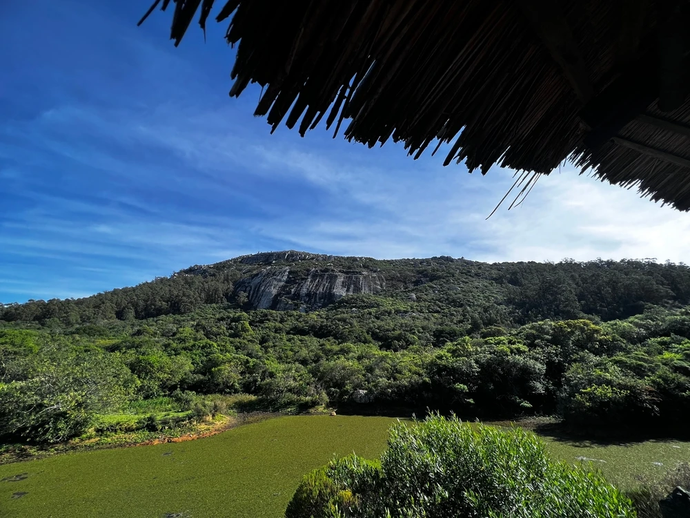
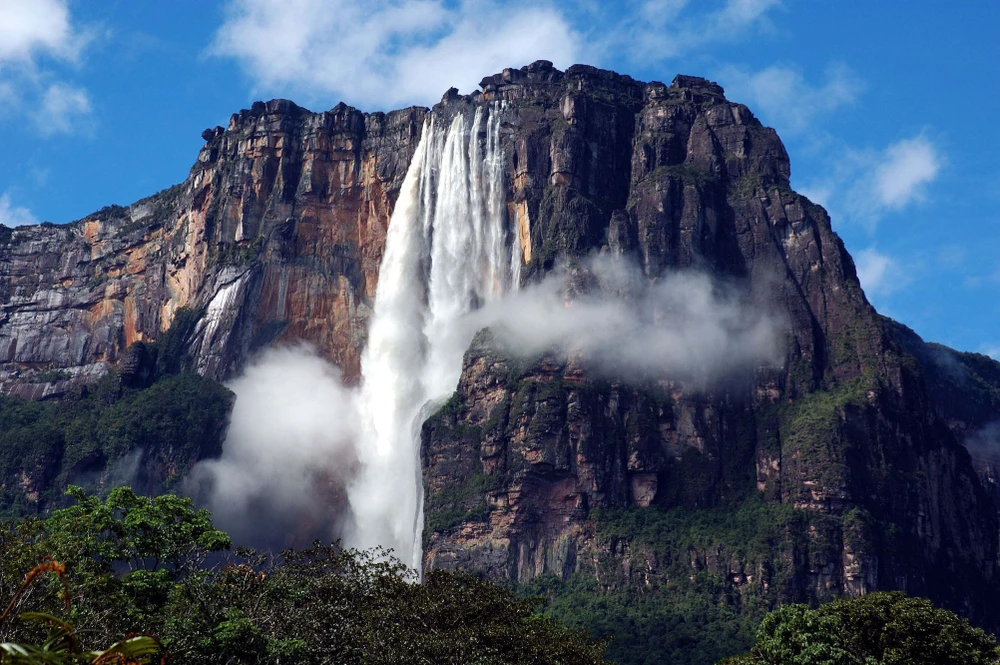
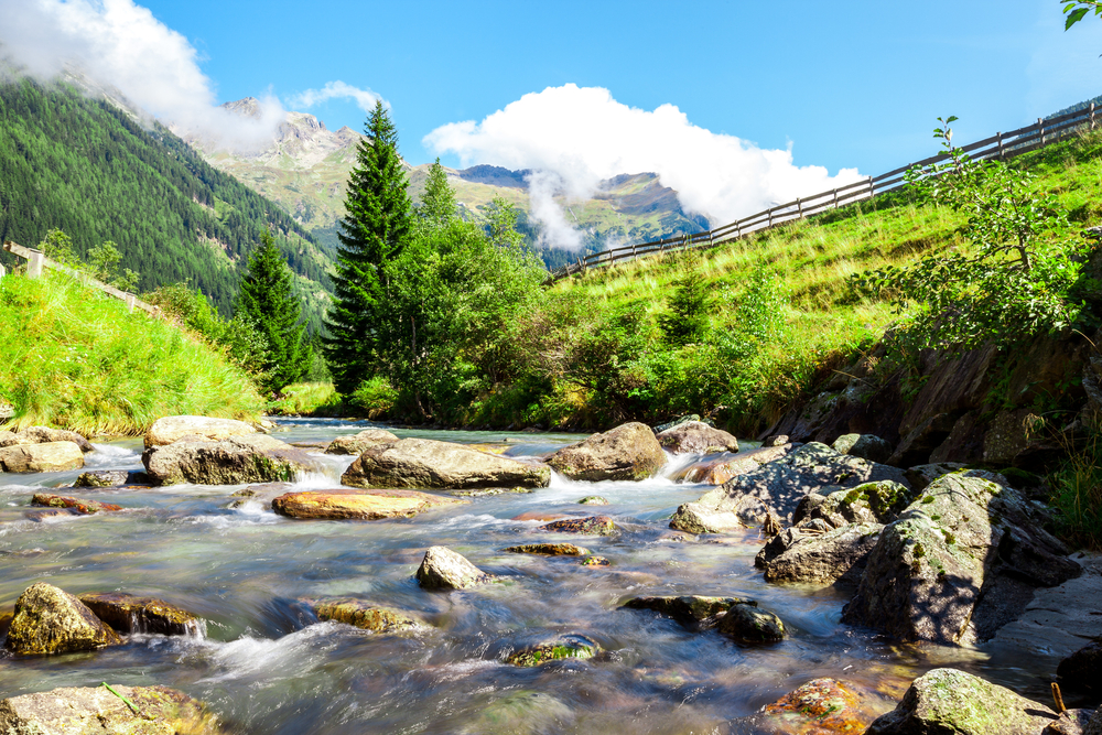
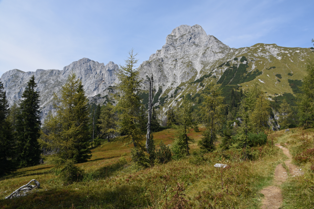
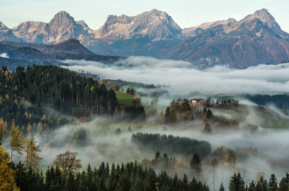
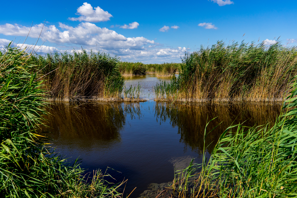
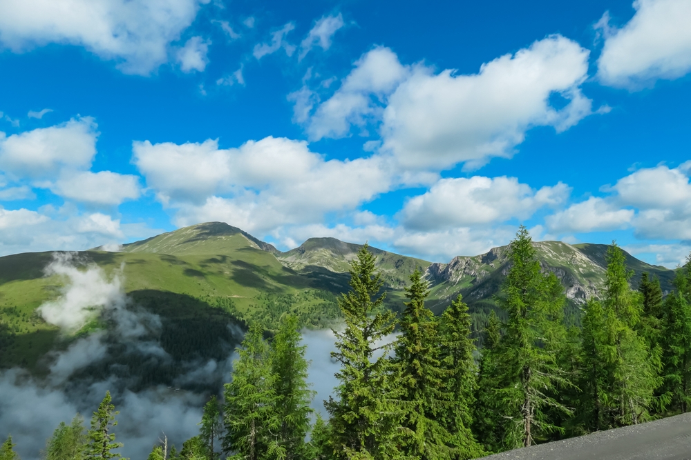
Hohe Tauern National Park Pictures
Hohe Tauern National Park Trails
Sources
- All Trails, Best Trails in Hohe Tauern National Park, https://www.alltrails.com/parks/austria/carinthia/hohe-tauern-national-park, retrieved April 2024.
- Britannica, Grossglockner, https://www.britannica.com/place/Grossglockner, retrieved April 2024.
- Britannica, Hohe Tauern, https://www.britannica.com/place/Hohe-Tauern, retrieved April 2024.
- Grossglockner, Austria’s Highest View, https://www.grossglockner.at/gg/en/index, retrieved April 2024.
- Hohe Tauern, Park Site, https://www.nationalpark.at/en/, retrieved April 2024.
- National Park Hohe Tauern, Park Site, https://hohetauern.at/en/, retrieved April 2024.
- Summit Post, Grossglockner, https://www.summitpost.org/grossglockner/150224, retrieved April 2024.