


Seoraksan Overview
Seoraksan National Park, designated in 1970, is a revered natural sanctuary located in the Gangwon-do province of South Korea. This stunning park covers an area of approximately 398 square kilometers (about 154 square miles), making it one of the most prominent national parks in the country. The park is named after its centerpiece, Seoraksan, or Mount Seorak, the third highest mountain in South Korea, which reaches a peak of 1,708 meters (5,603 feet) at Daecheongbong Peak. Seoraksan National Park is renowned for its breathtaking natural beauty, diverse ecosystems, and significant cultural heritage, drawing visitors from across the globe.
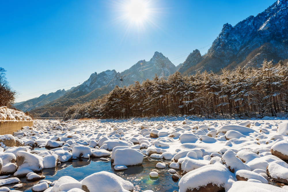
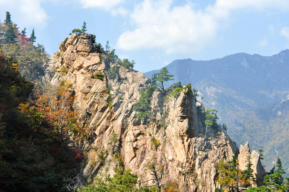
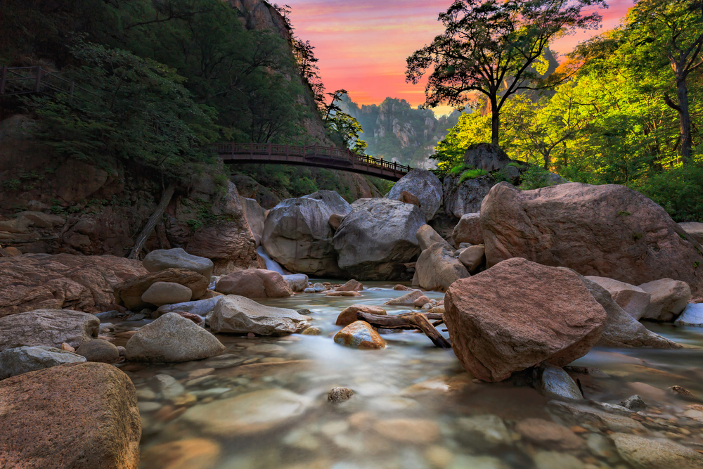
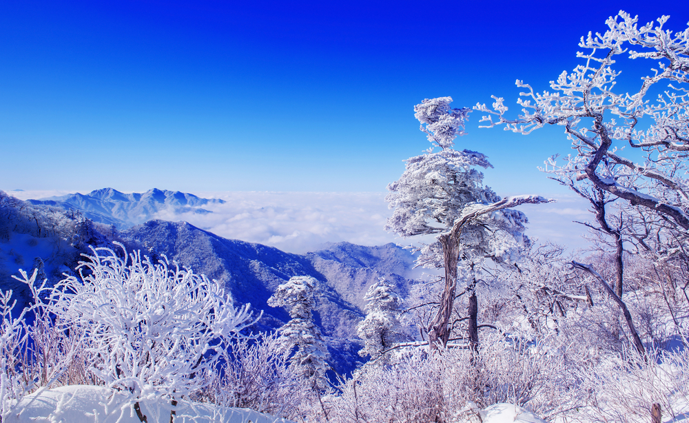
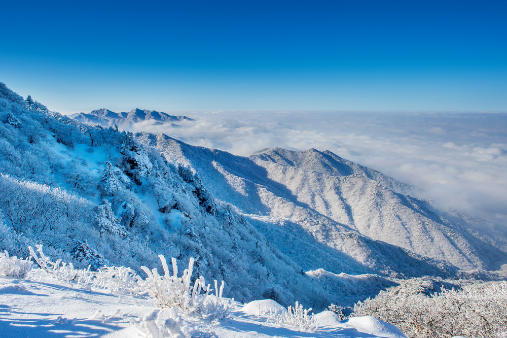
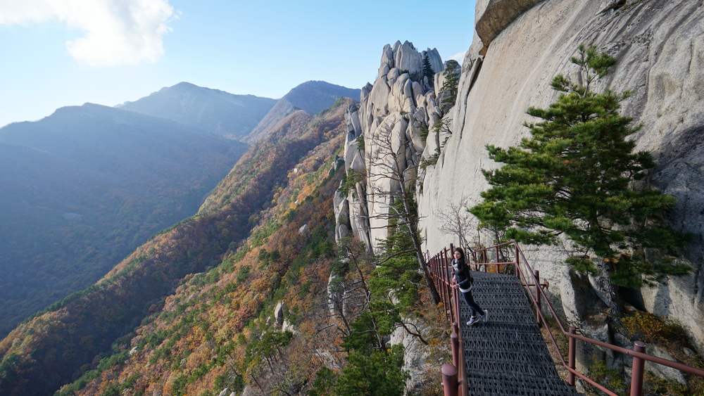
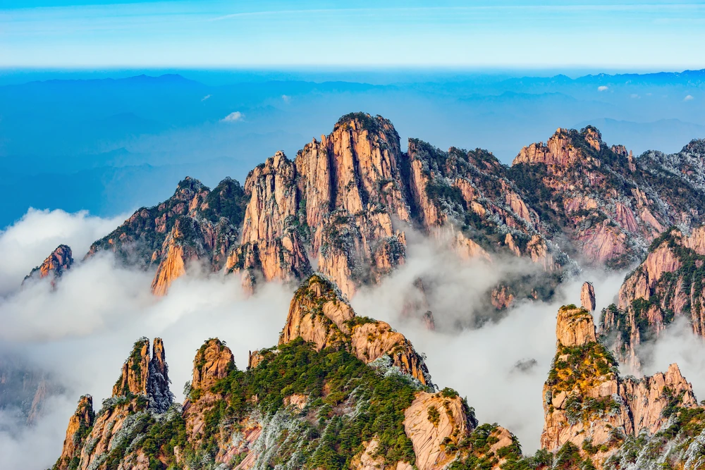
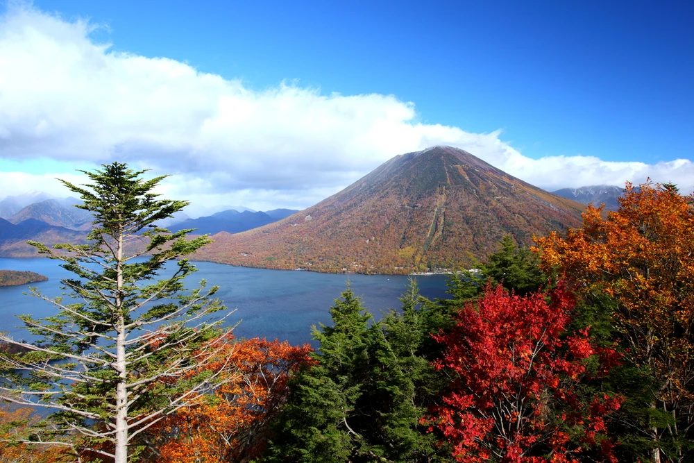
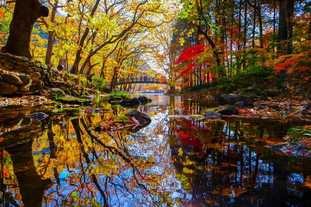
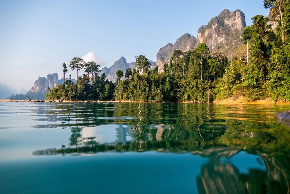
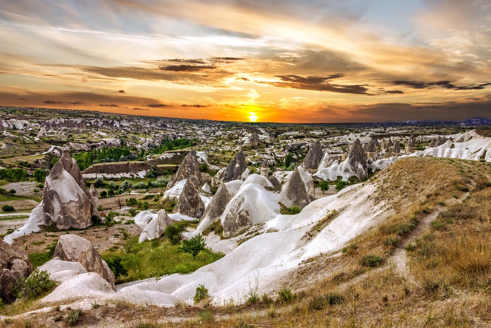
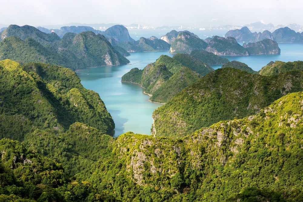
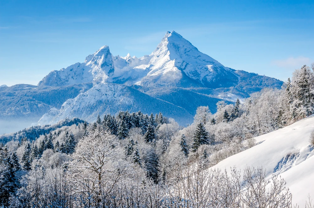
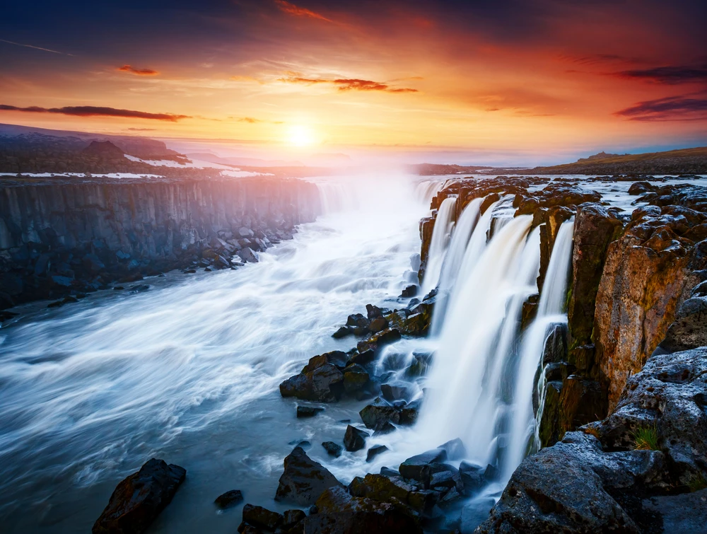
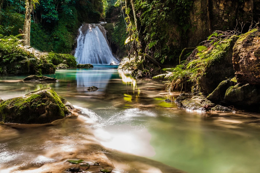
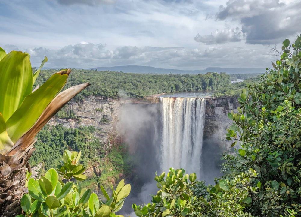
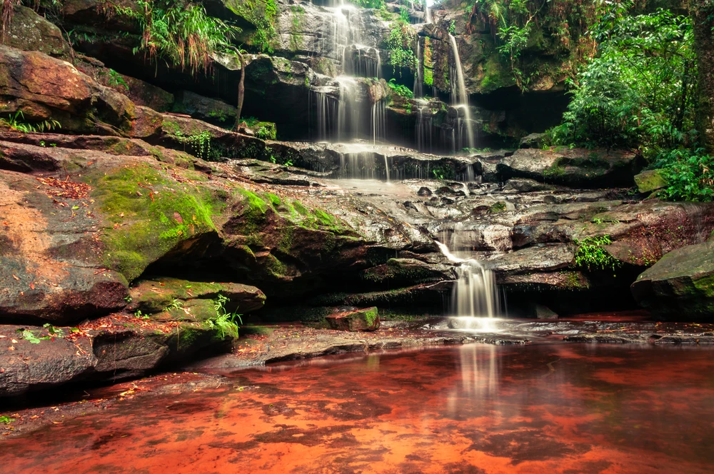
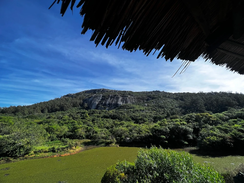
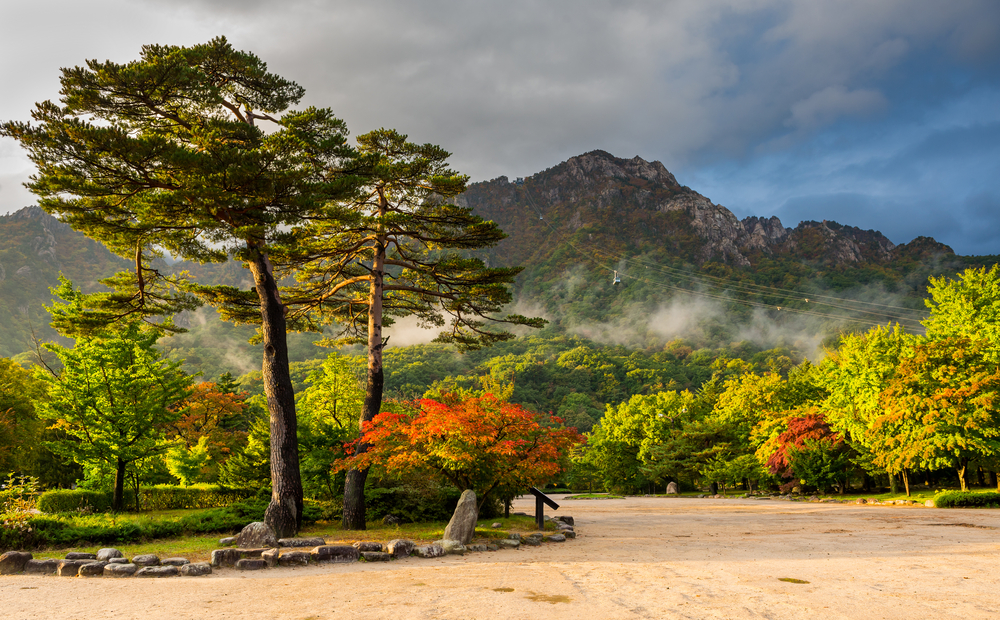
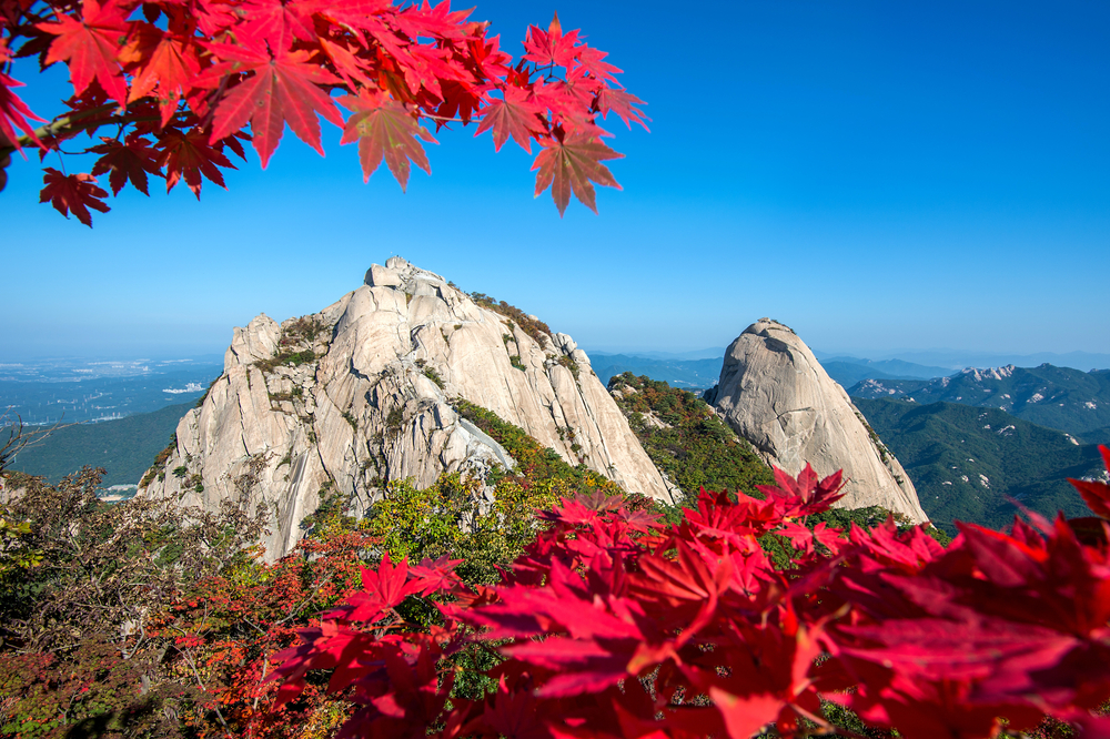
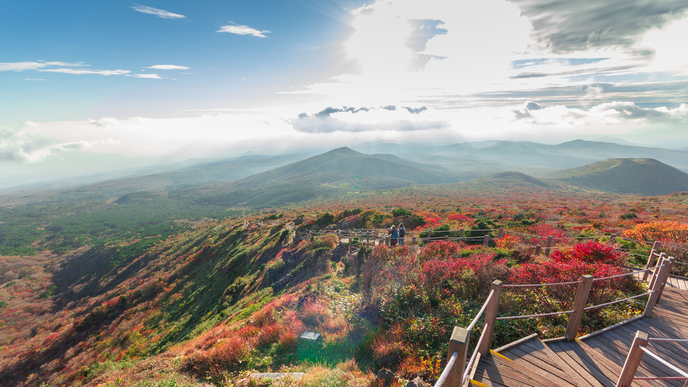
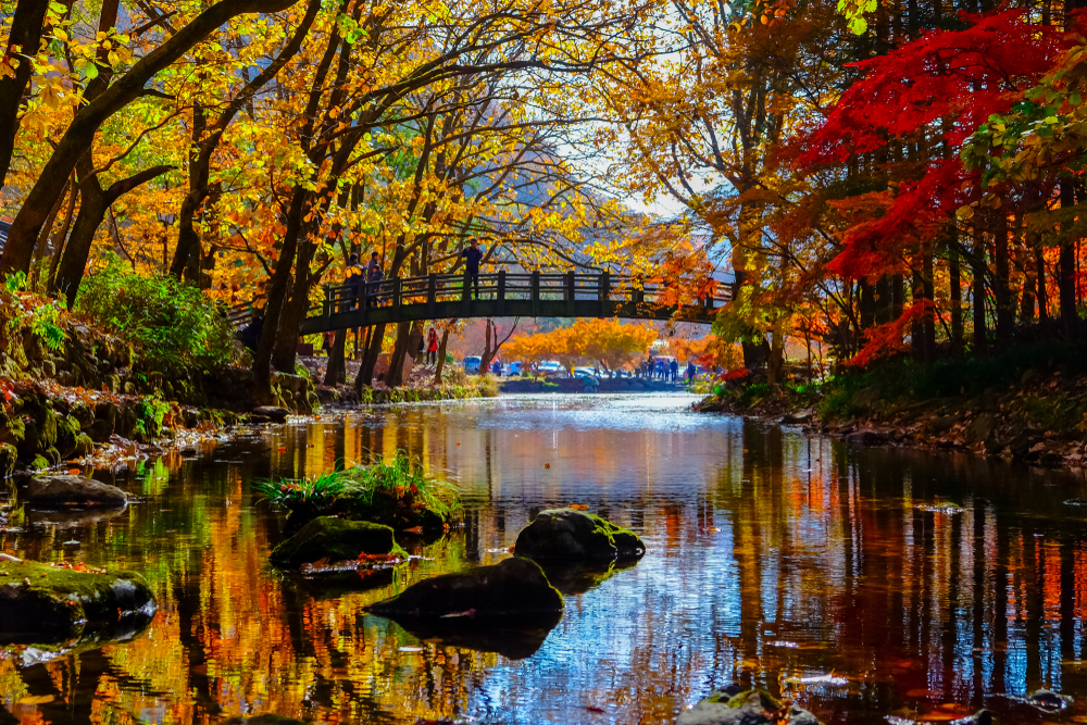
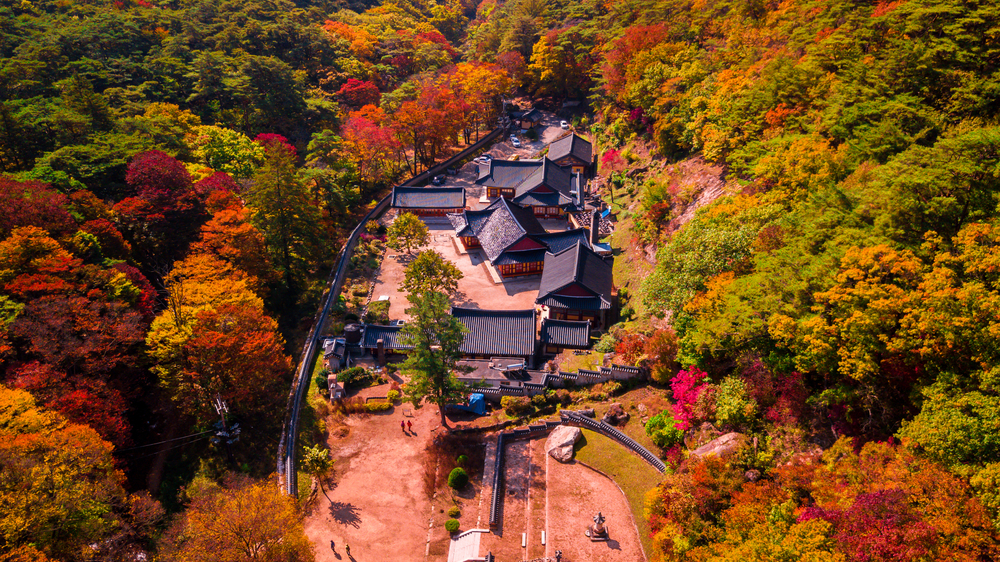
The park’s landscape is characterized by rugged peaks, deep valleys, and towering granite rock formations, alongside clear streams, waterfalls, and high-altitude lakes, creating a picturesque setting that changes with the seasons. Seoraksan National Park is particularly famous for its vibrant autumn colors, when the mountain slopes are ablaze with reds, yellows, and oranges, making it a popular destination during the fall season.
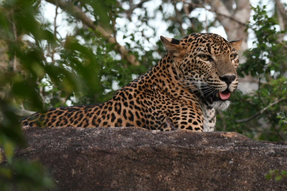
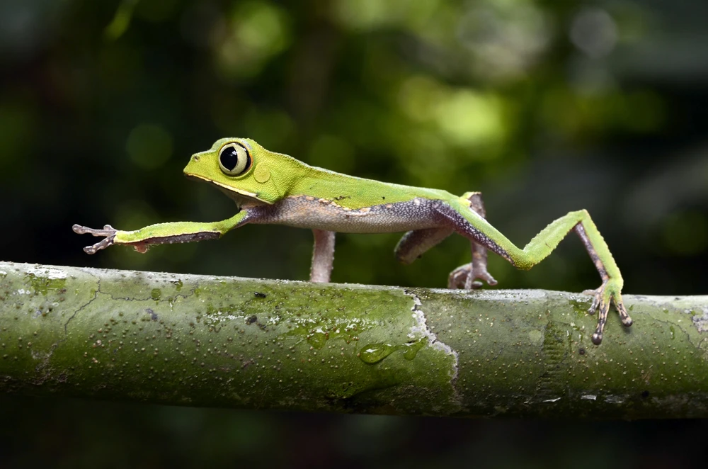
The biodiversity within Seoraksan National Park is remarkable, home to a wide array of plant and animal species, some of which are rare or endangered. The park’s flora includes ancient forests of pine, oak, and maple, as well as a variety of alpine plants that thrive at higher elevations.
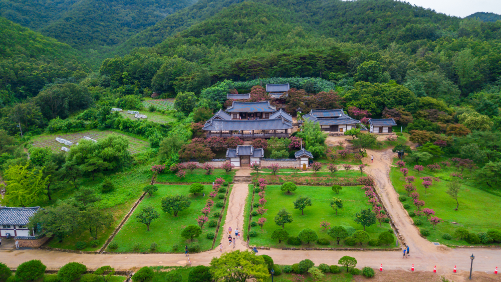
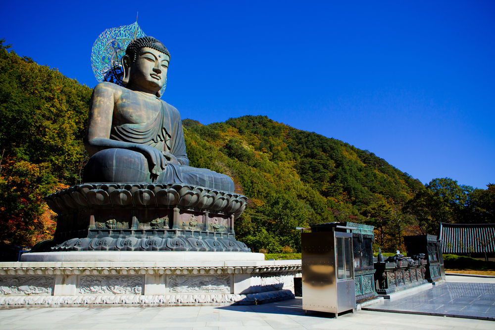
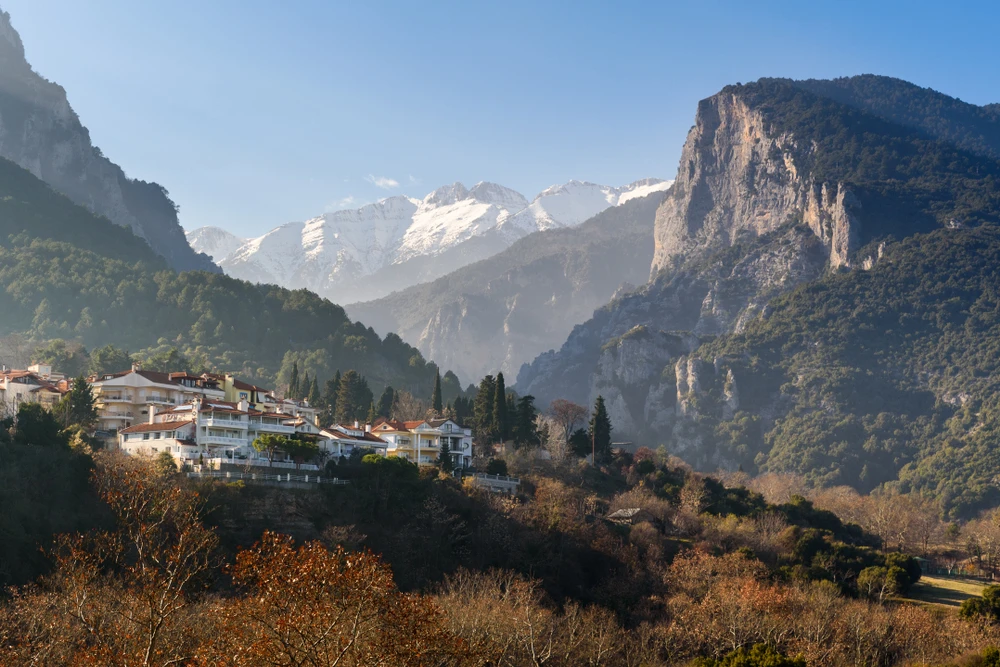
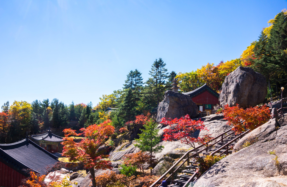
Seoraksan National Park also holds significant cultural and historical value, with ancient temples nestled within its forests, including the notable Sinheungsa Temple, a site of deep spiritual importance. The park’s cultural sites offer a serene and spiritual dimension to the natural beauty of the landscape.
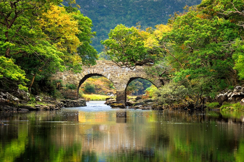
For adventurers and nature lovers, the park offers a network of hiking trails ranging from easy walks to challenging treks to the mountain’s summit, providing opportunities to explore its natural wonders up close. Cable cars also offer a more accessible way to enjoy the stunning views of the park’s dramatic scenery.
With its unparalleled natural beauty, rich biodiversity, and cultural significance, Seoraksan National Park stands as a testament to the majestic wilderness of South Korea, offering a peaceful retreat and a source of inspiration for all who visit.

Park Map
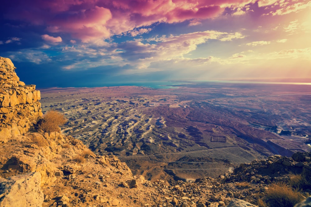
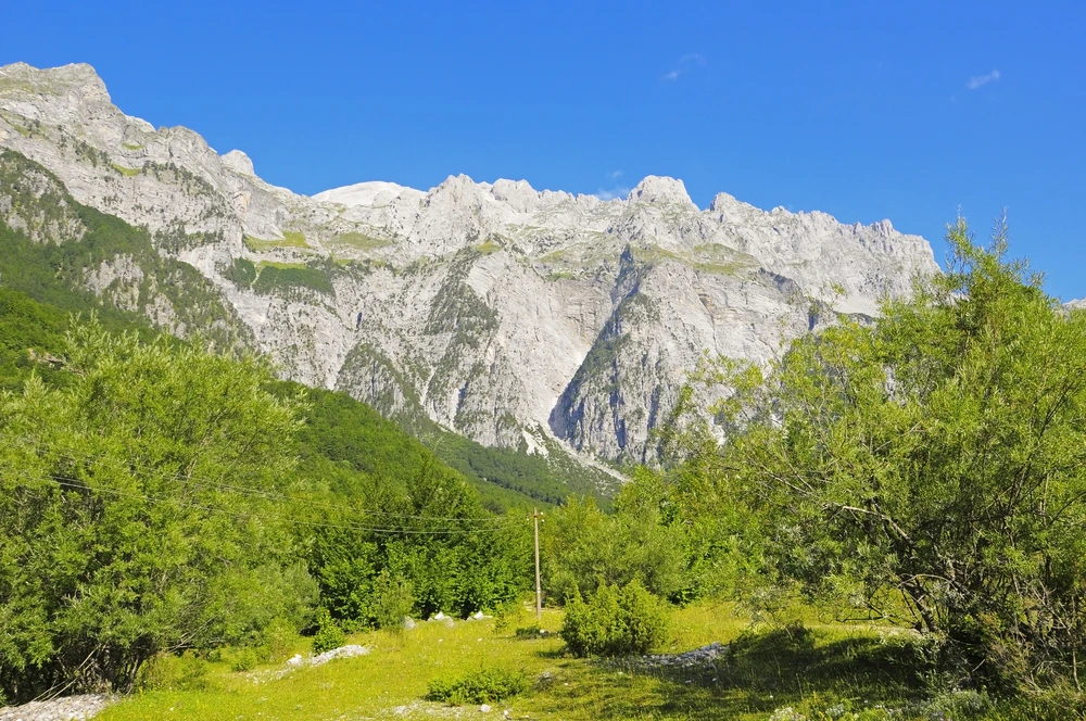
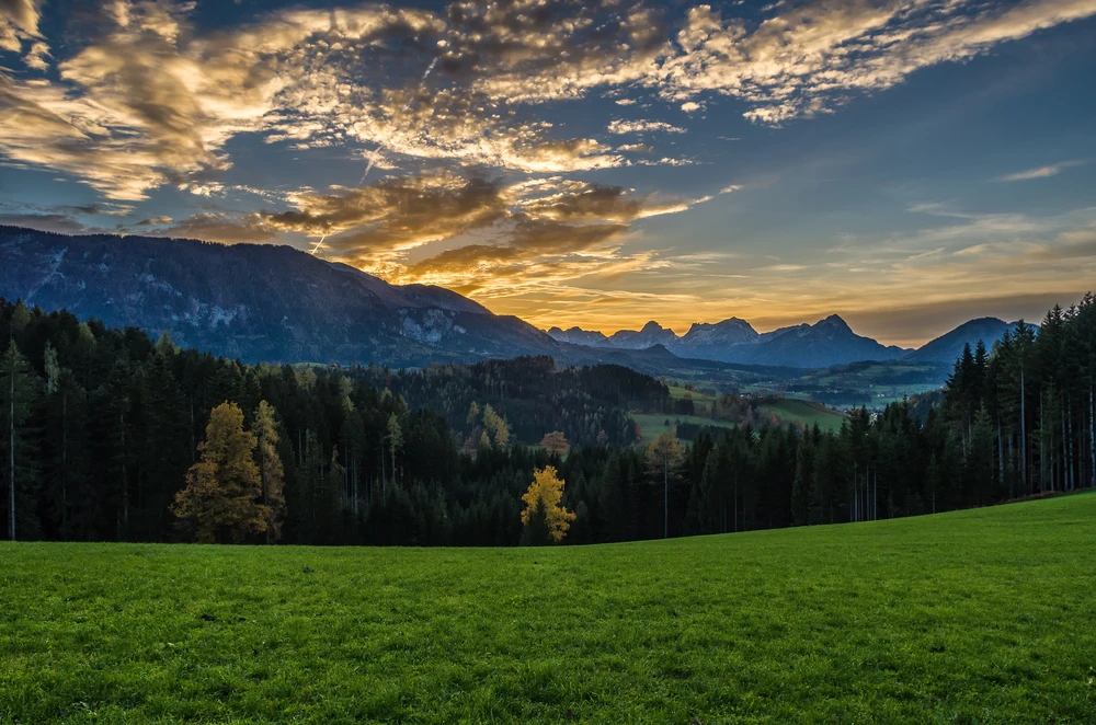
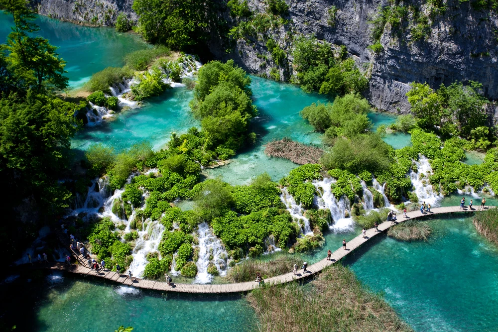
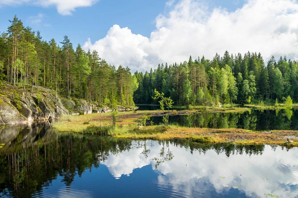
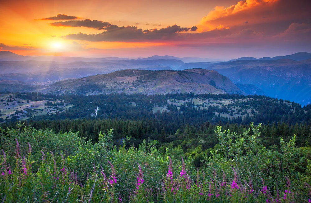
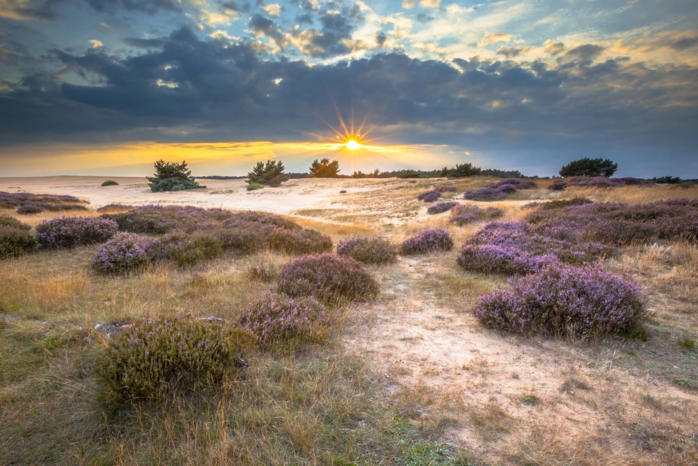
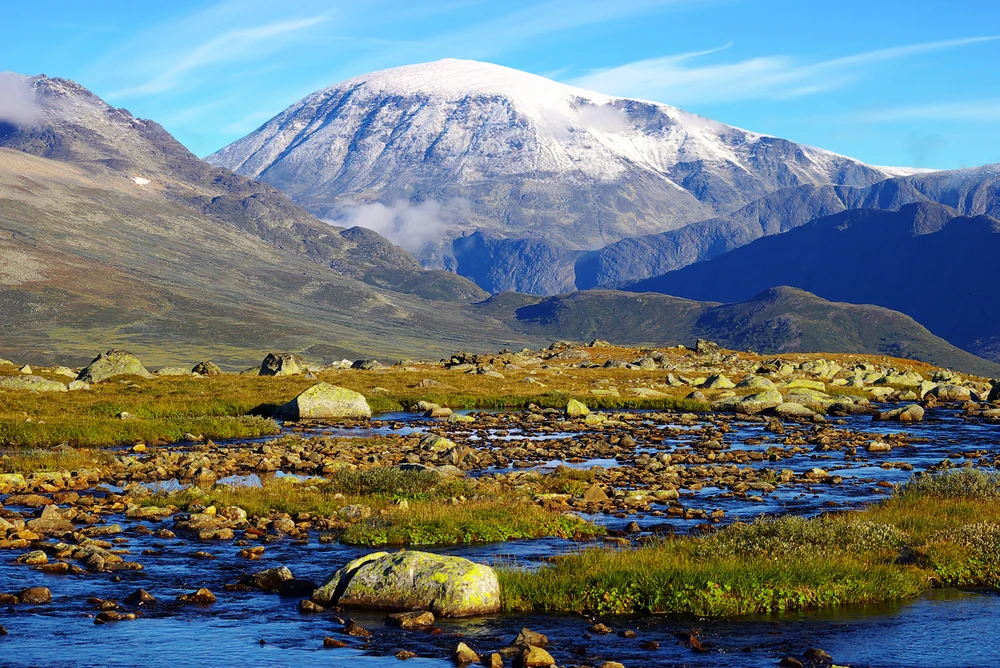
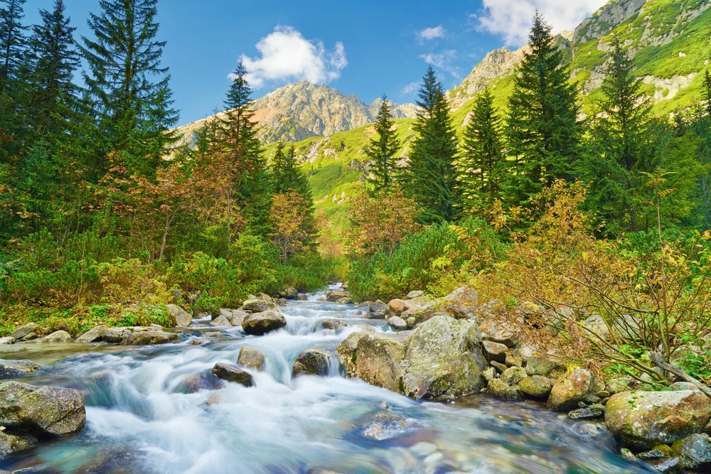
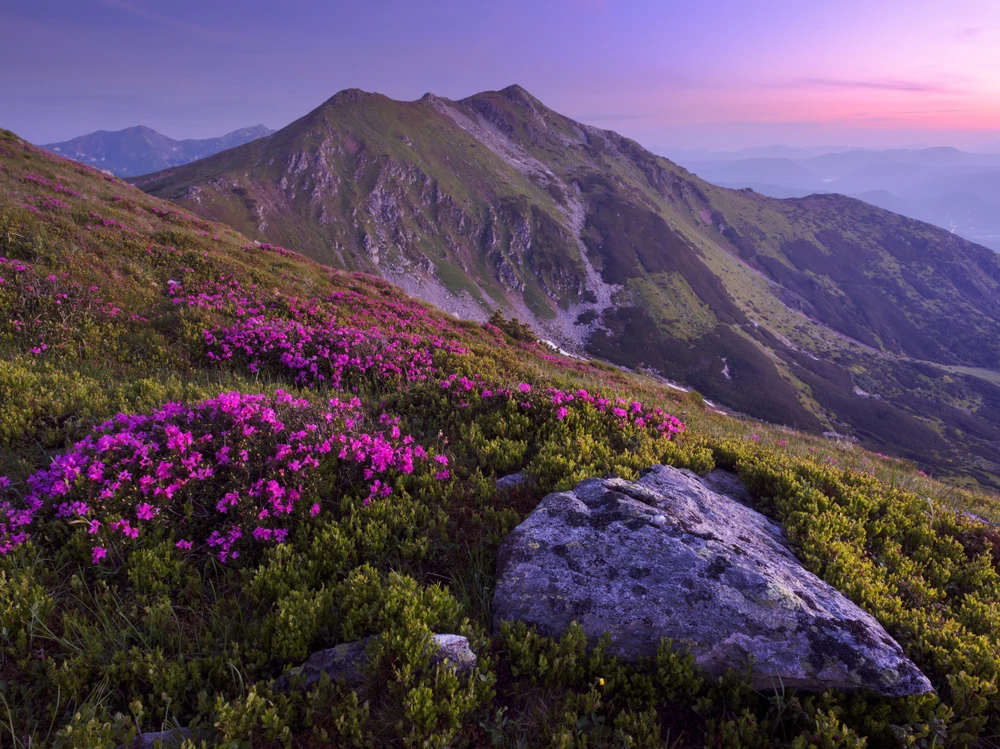
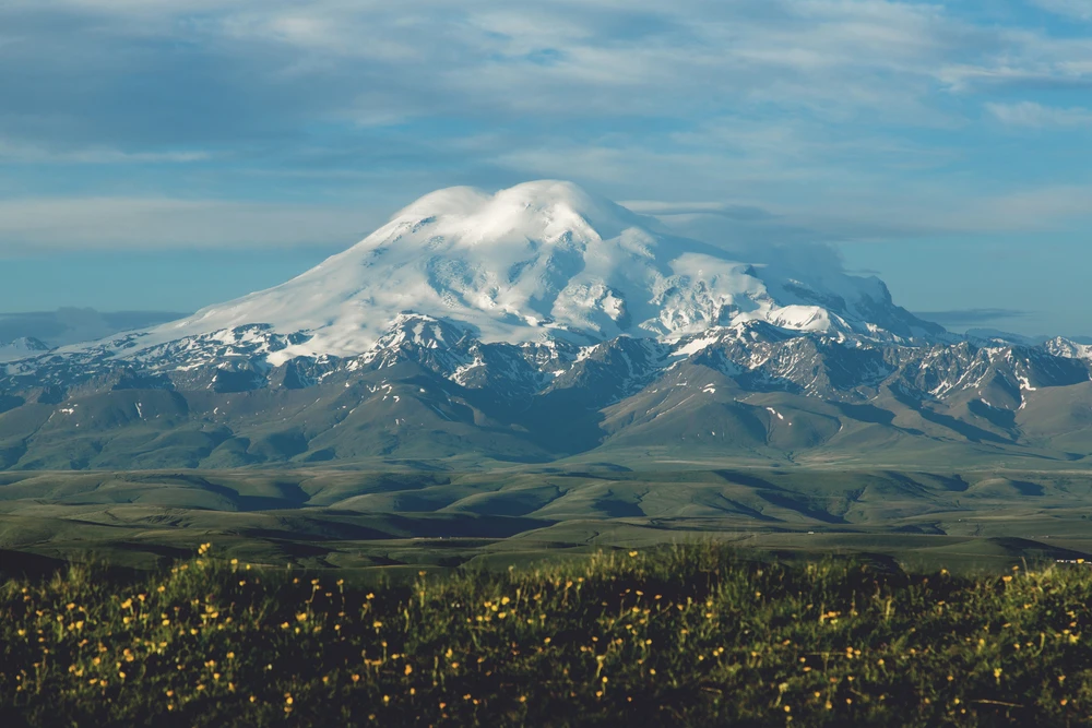
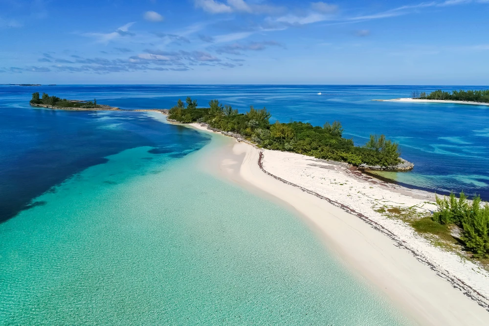
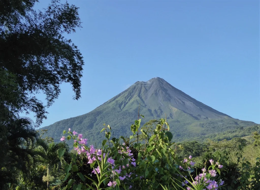
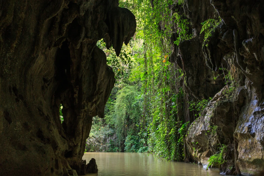
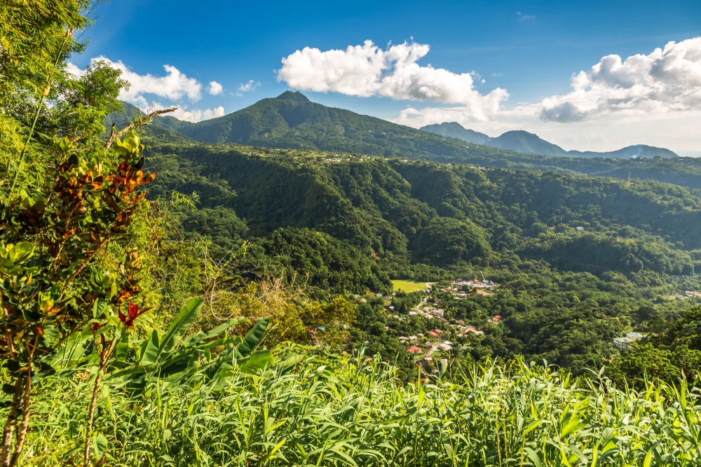
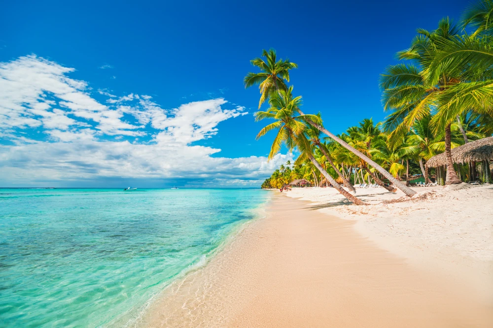
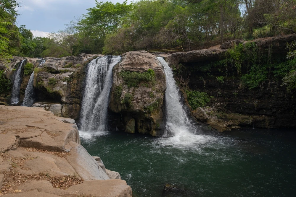
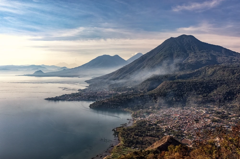
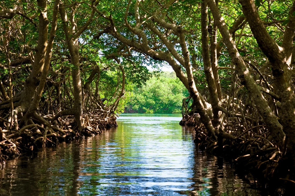
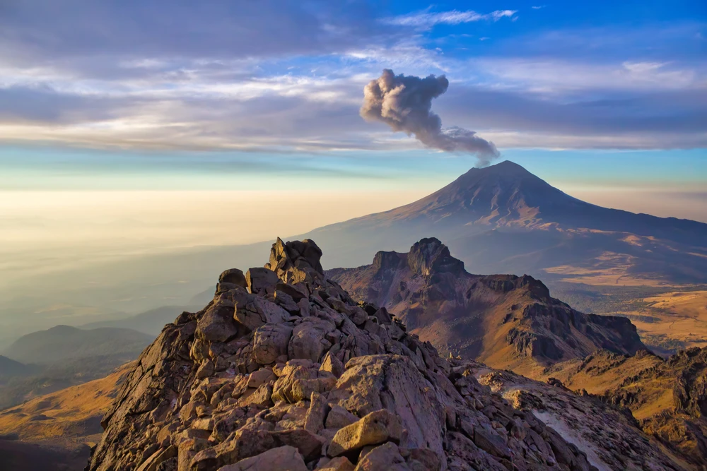
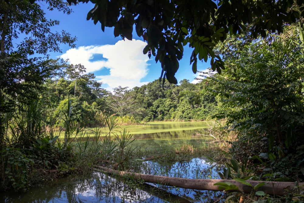
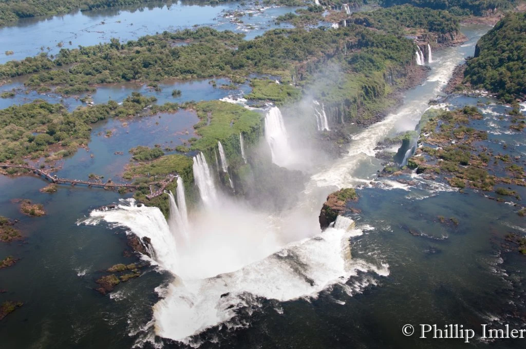
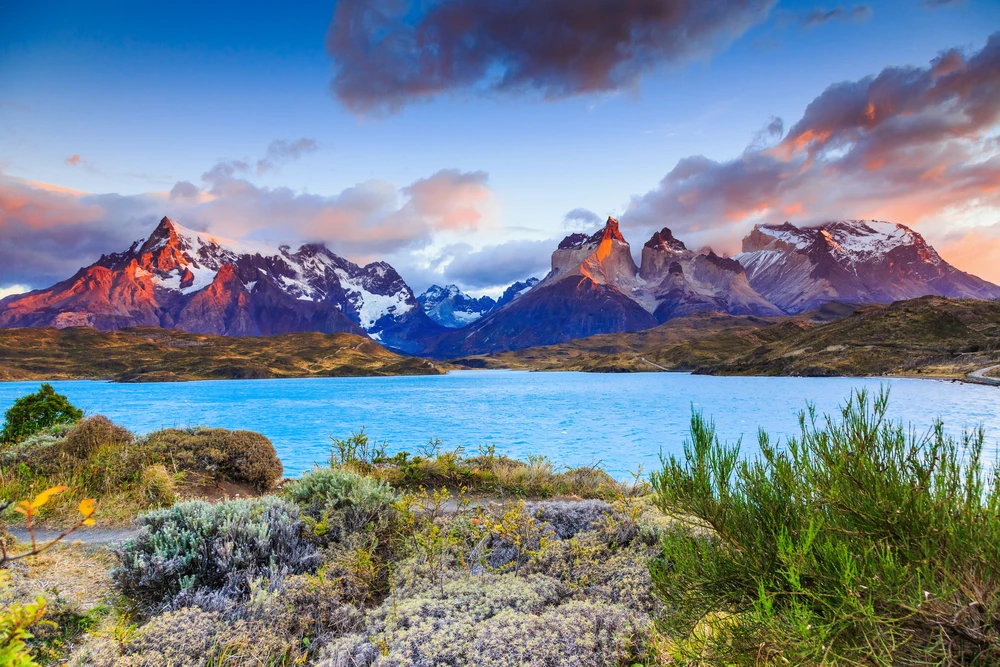
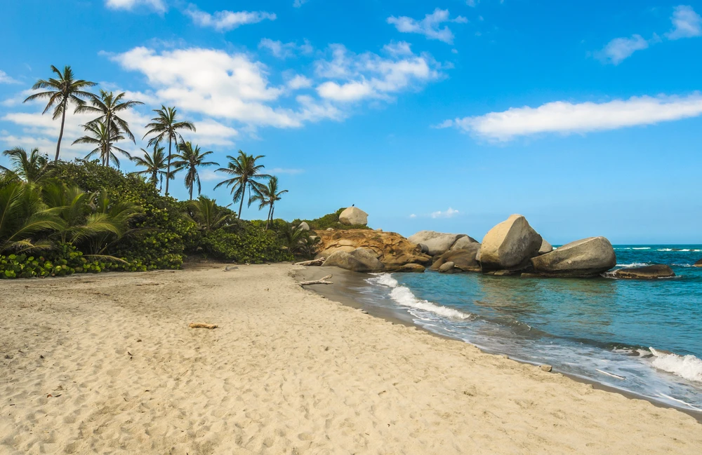
Seoraksan National Park Pictures
Seoraksan National Park Trails
Sources
- Culture Trip, A Guide to Visiting Seoraksan National Park, https://theculturetrip.com/asia/south-korea/articles/a-guide-to-visiting-seoraksan-national-park-south-korea/, retrieved April 2024.
- Frommer’s, Planning a Trip in Seoraksan National Park, https://www.frommers.com/destinations/seoraksan-national-park/planning-a-trip, retrieved April 2024.
- orea, Seoraksan National Park, http://english.visitkorea.or.kr/enu/ATR/SI_EN_3_1_1_1.jsp?cid=264211, retrieved April 2024.
- Korea To Do, Seoraksan National Park, https://www.koreatodo.com/seoraksan-national-park, retrieved April 2024.