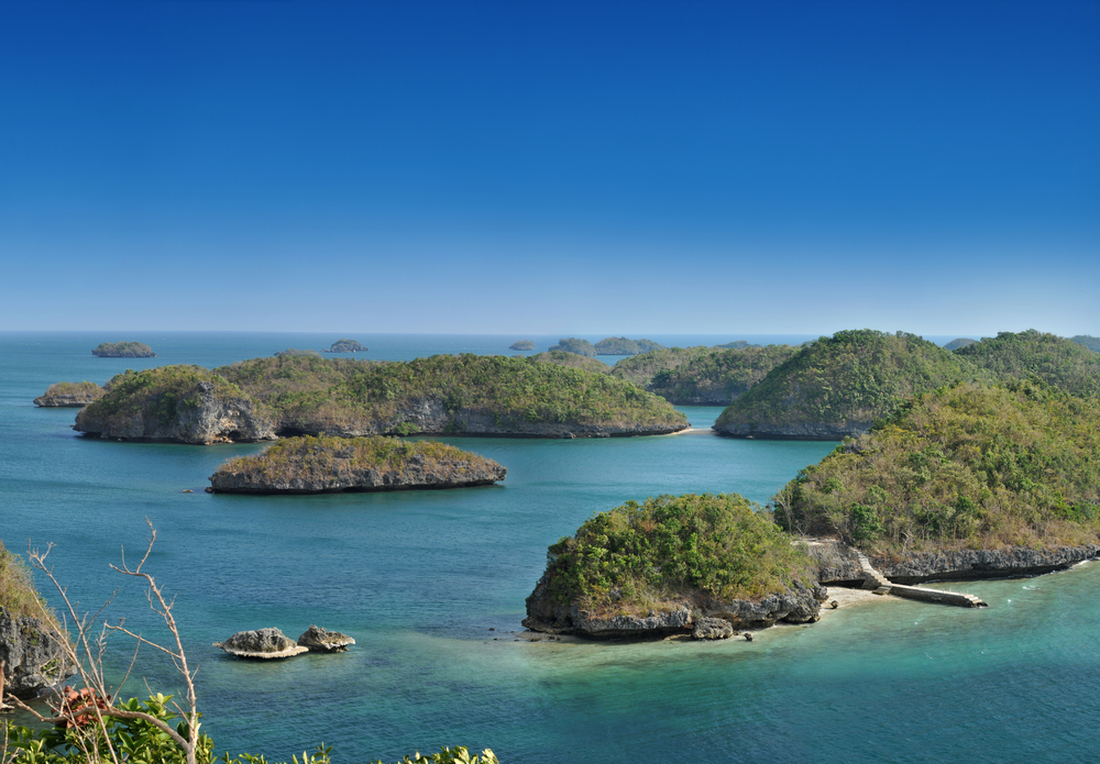
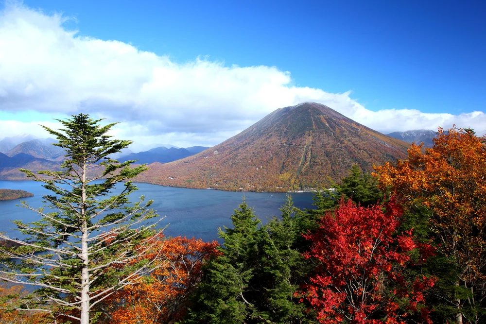


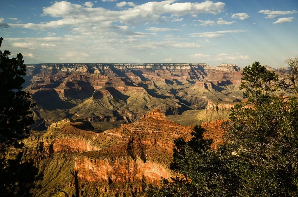
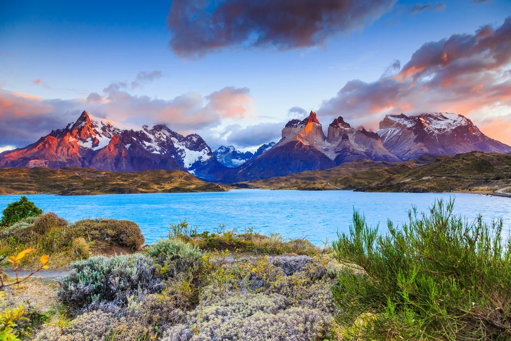


Bangan Hill Overview
Balbalasang-Balbalan National Park is a remote and ecologically rich protected area located in the northern Philippines, within the province of Kalinga in the Cordillera Administrative Region.
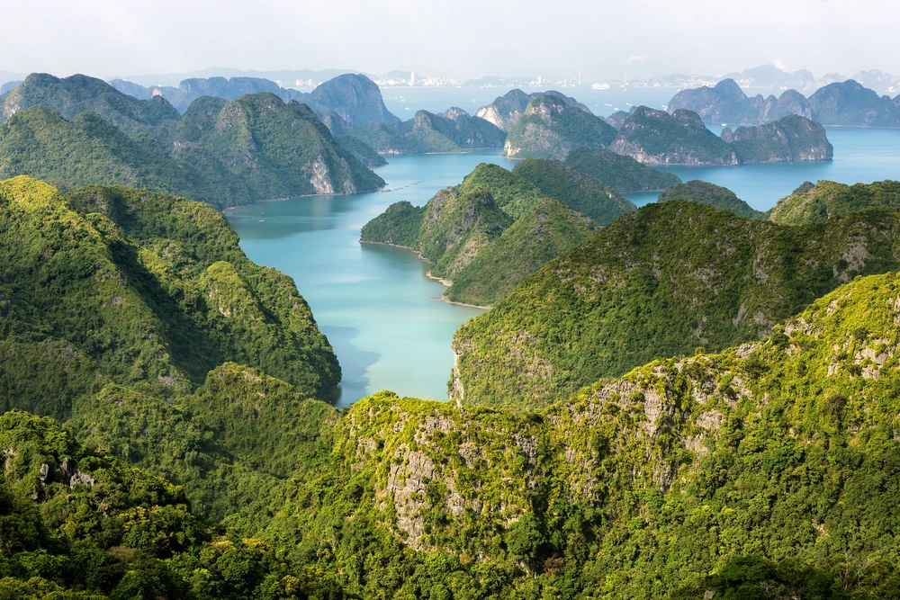
Covering approximately 54 square miles (141 square kilometers), the park lies in the western part of Kalinga and forms part of the Cordillera mountain range. Established in 1972, it is one of the few remaining relatively undisturbed forest landscapes in Luzon and plays a crucial role in the conservation of the region’s biodiversity, watersheds, and indigenous cultural heritage.
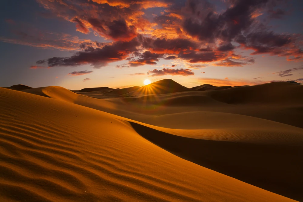
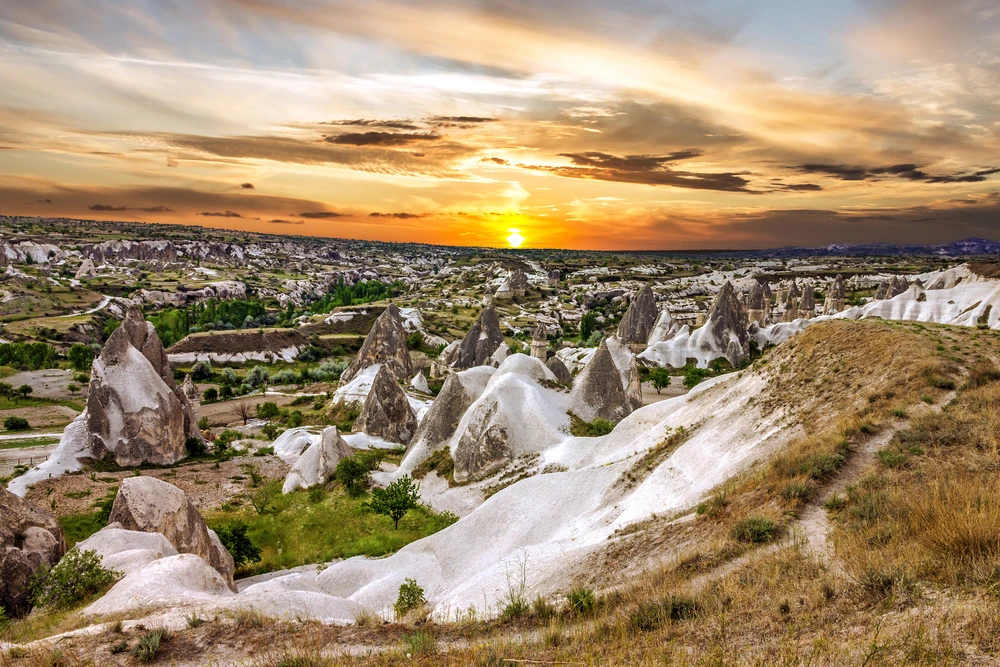
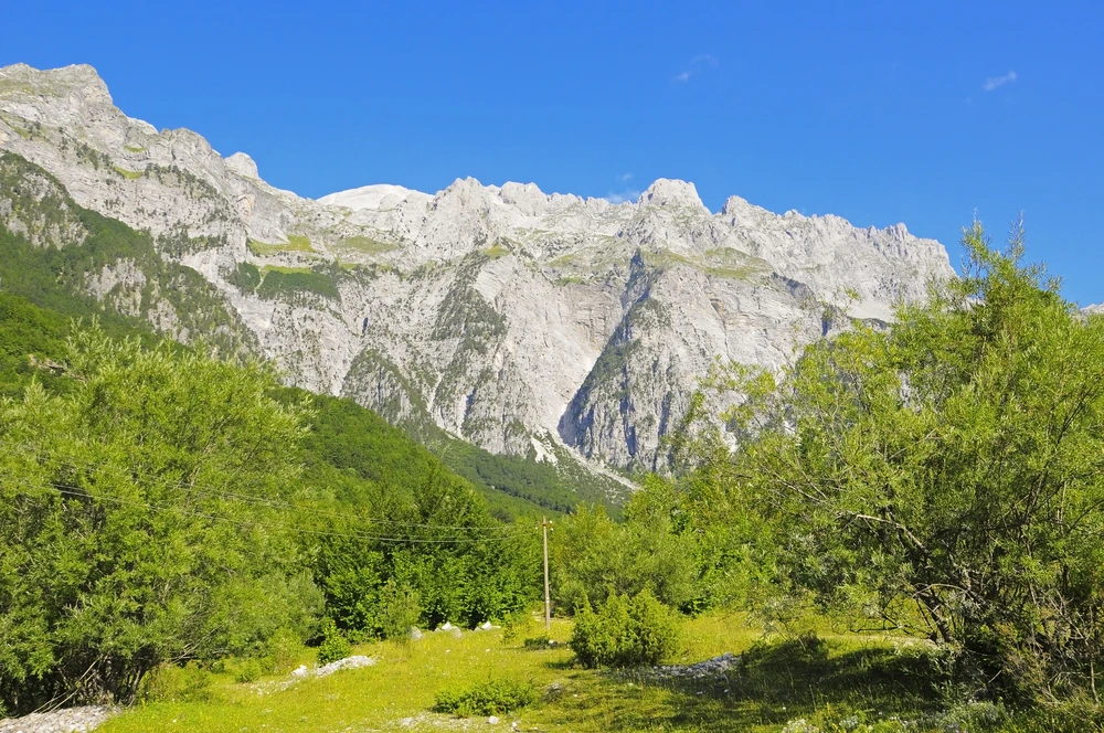
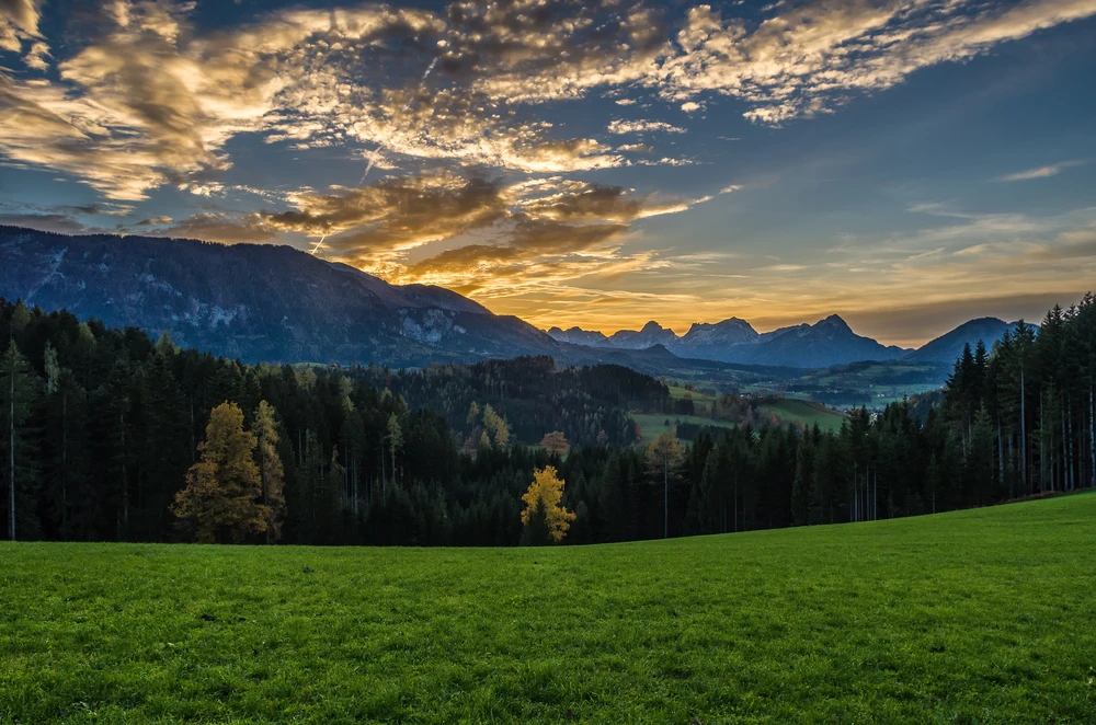
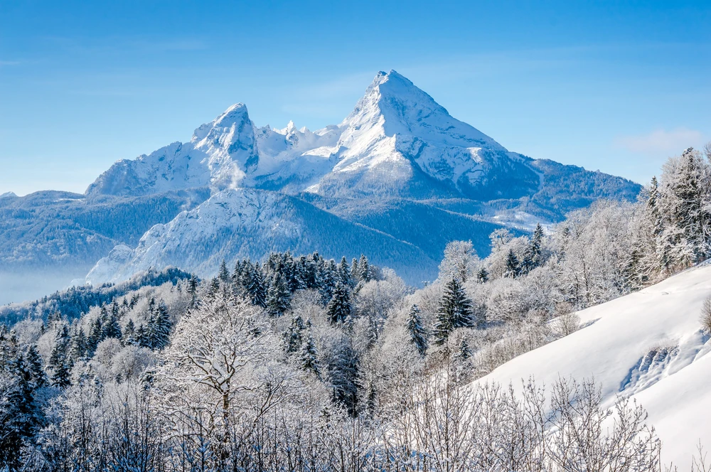
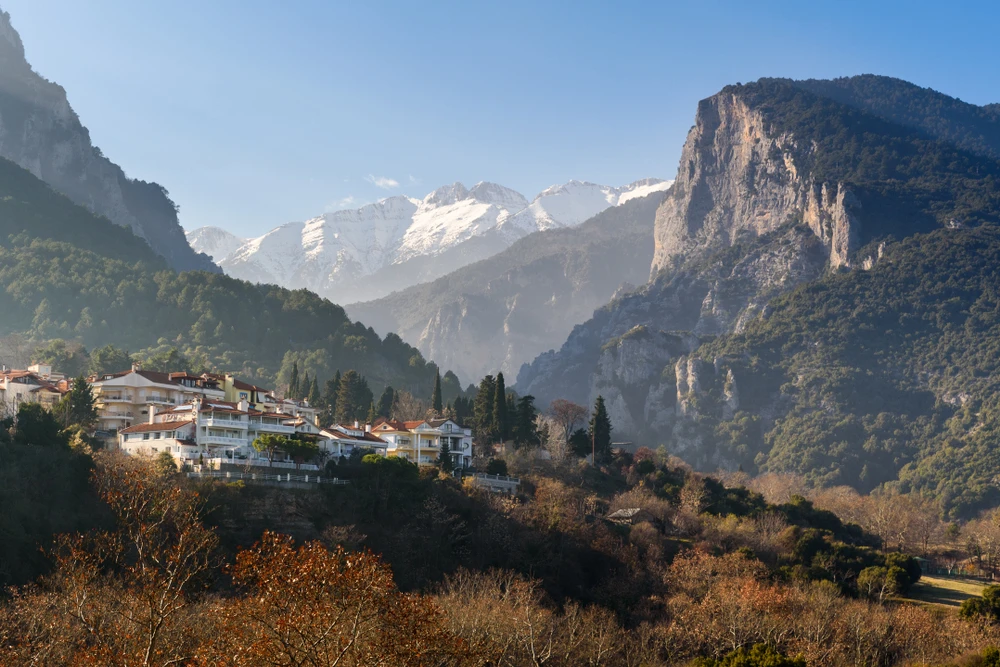
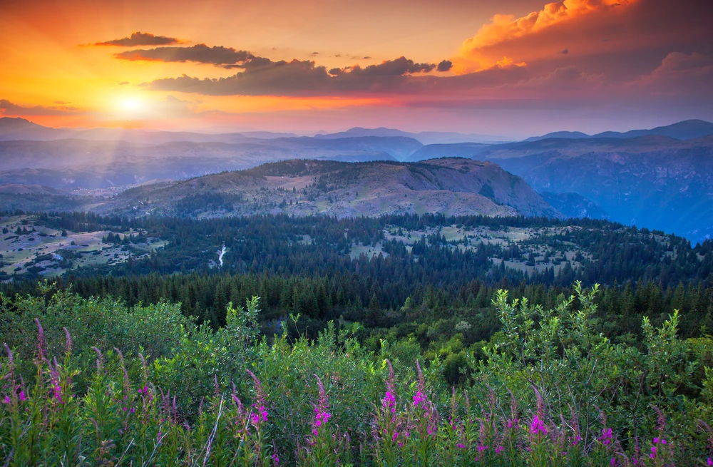
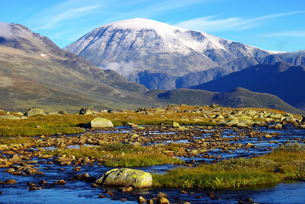
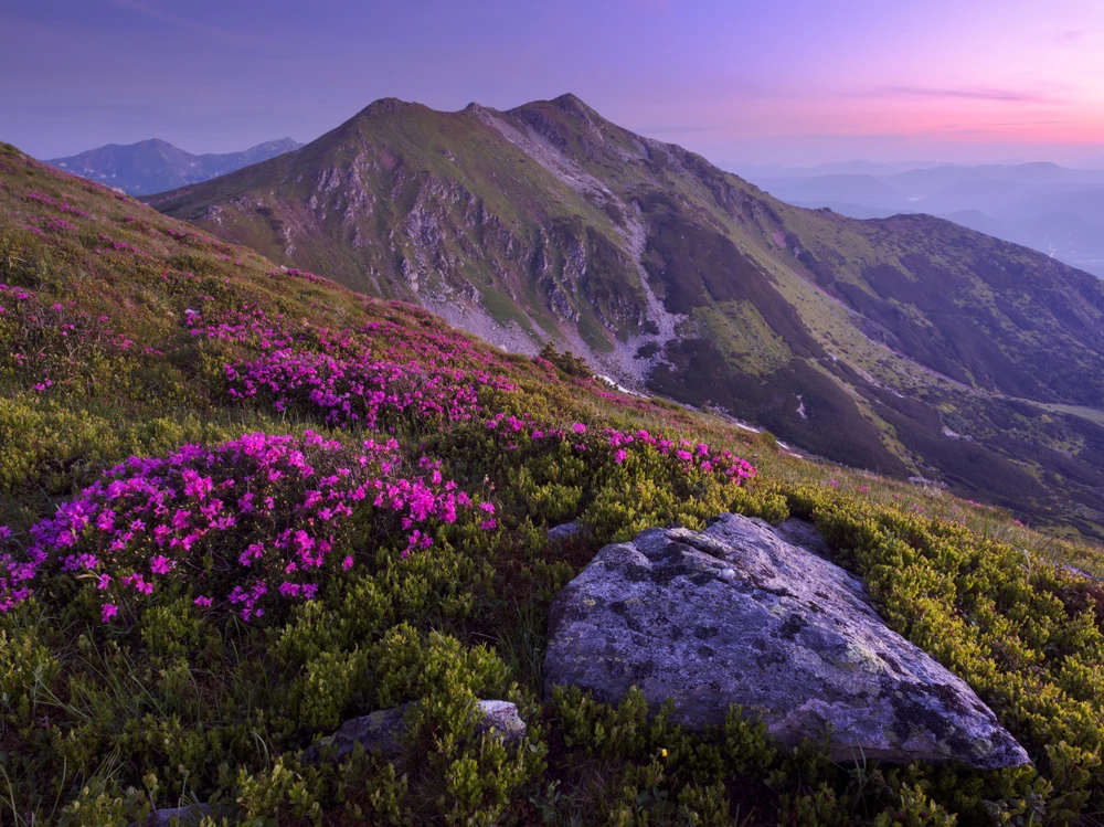
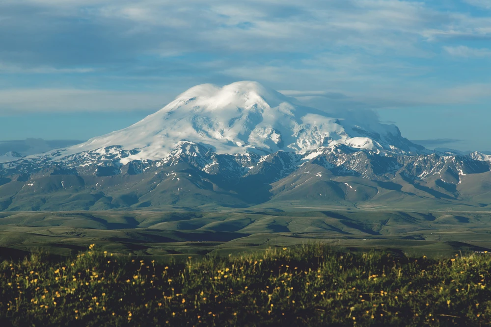
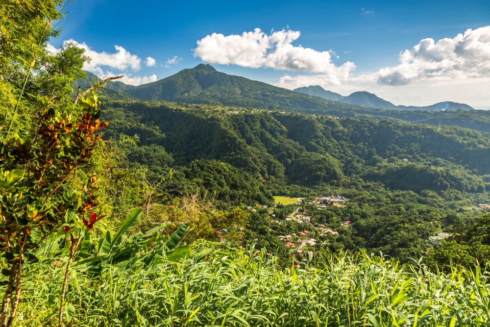
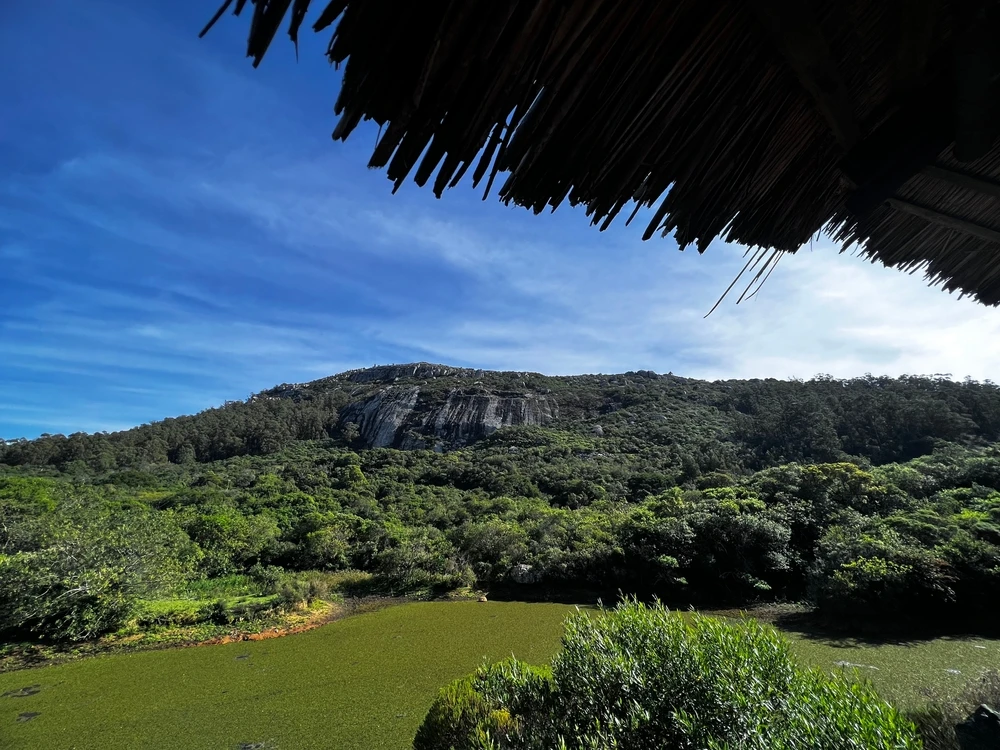
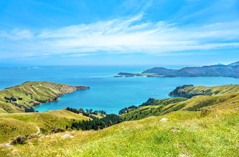
The terrain of Balbalasang-Balbalan National Park is characterized by steep mountains, deep valleys, and densely forested ridges. Elevations range from 2,300 to over 8,200 feet (700 to 2,500 meters), creating a diverse range of ecological zones.
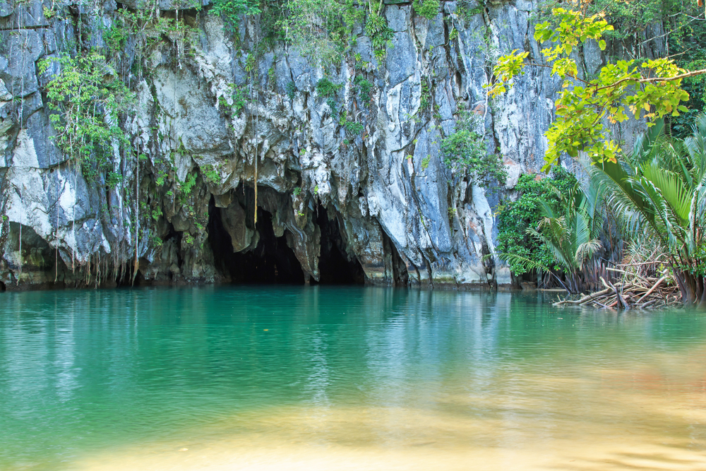
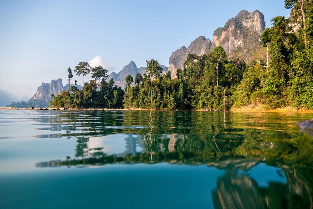
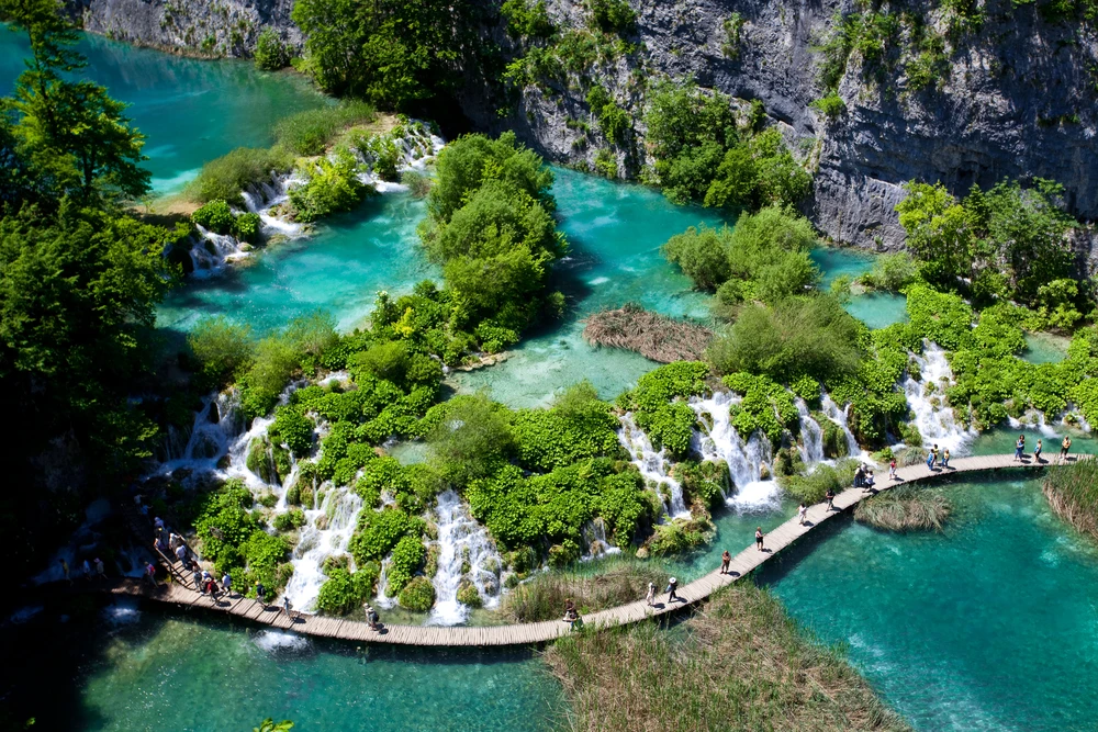
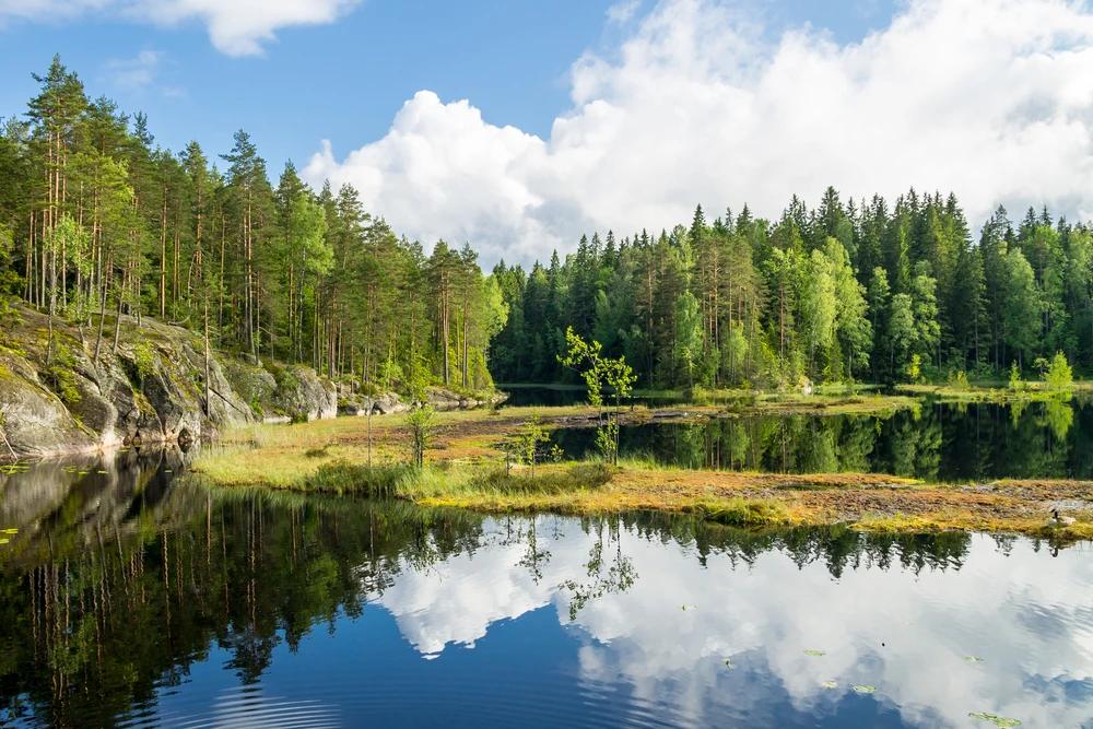
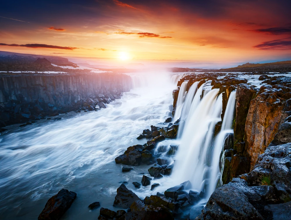
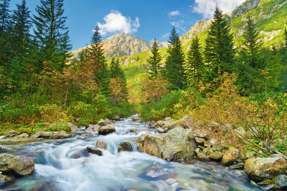
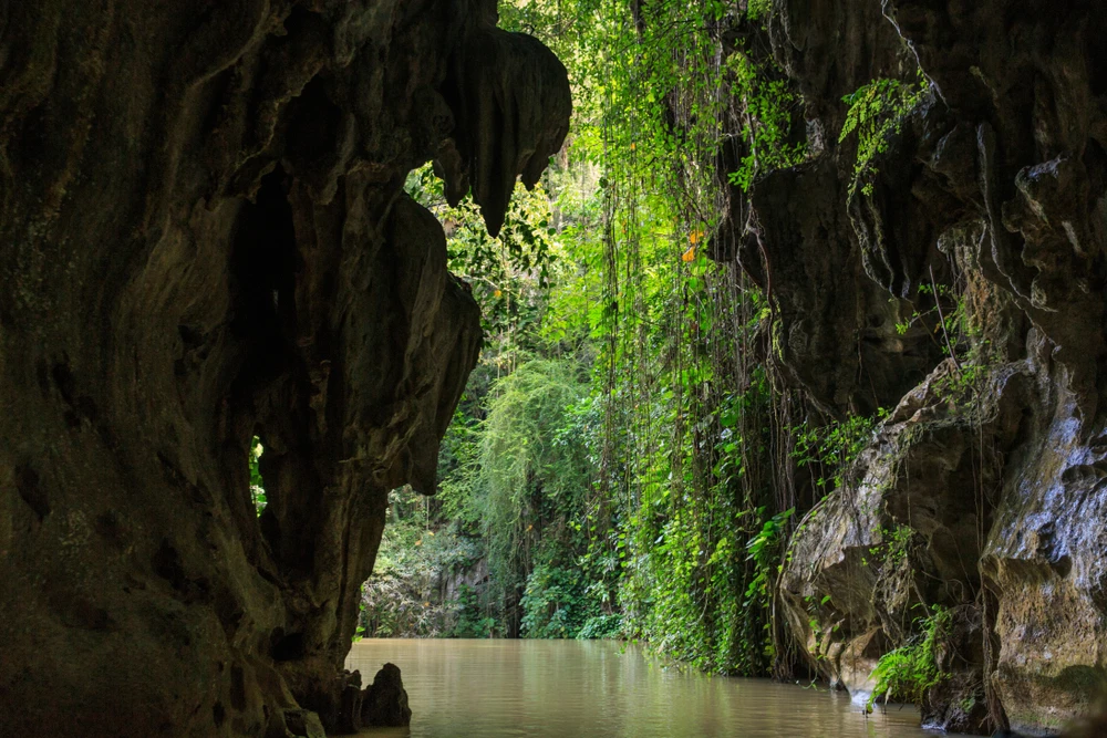
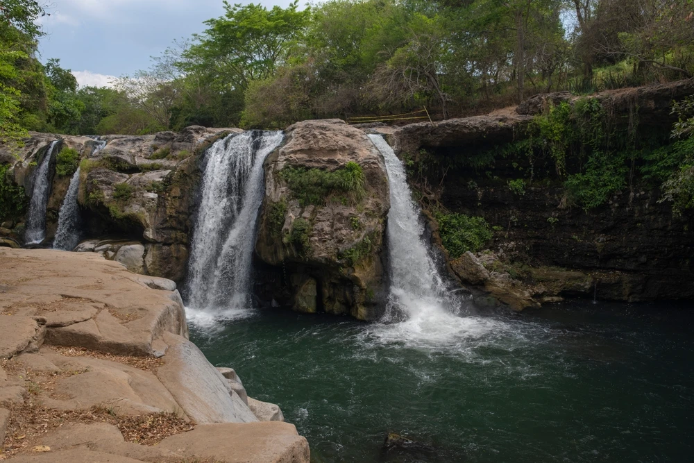
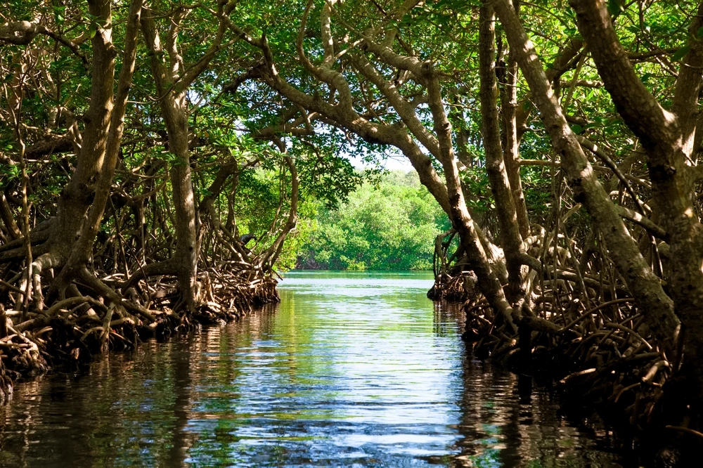
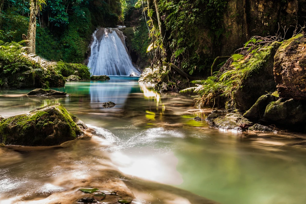
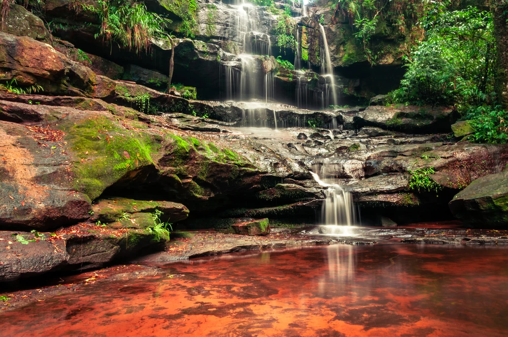
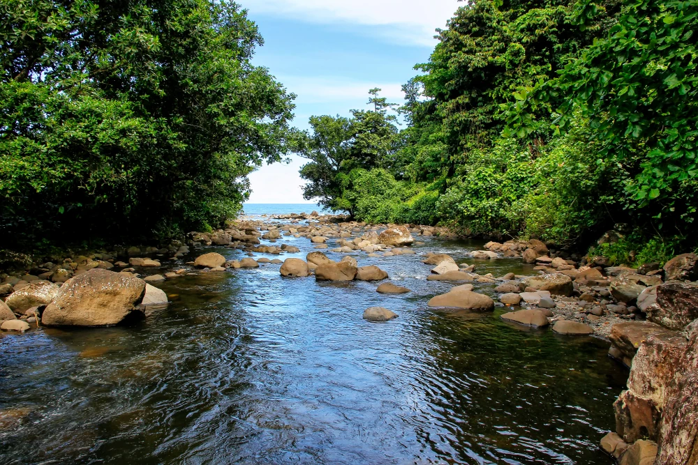
The rugged landscape includes limestone cliffs, mossy forests, and rivers that carve through narrow gorges. The forest canopy is lush and layered, composed primarily of dipterocarp and pine trees at lower elevations, transitioning to cloud forest at higher altitudes. The park is home to numerous waterfalls, including the majestic Mabaca and Saltan rivers, which add both scenic beauty and ecological vitality to the region.
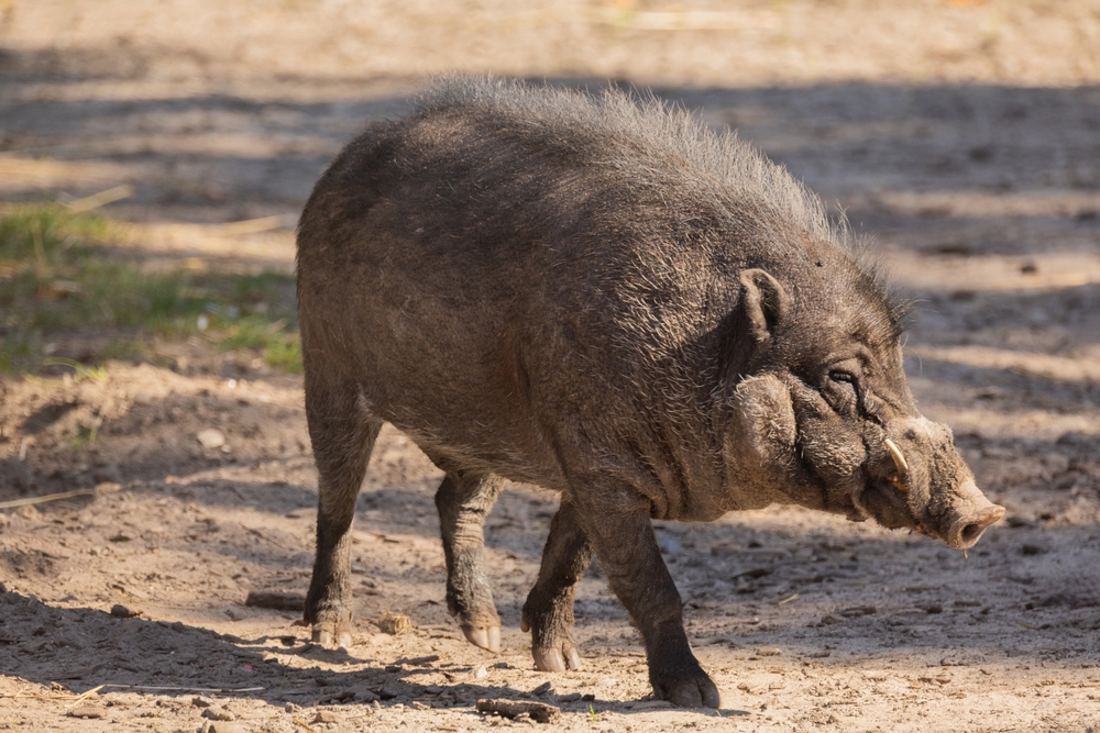
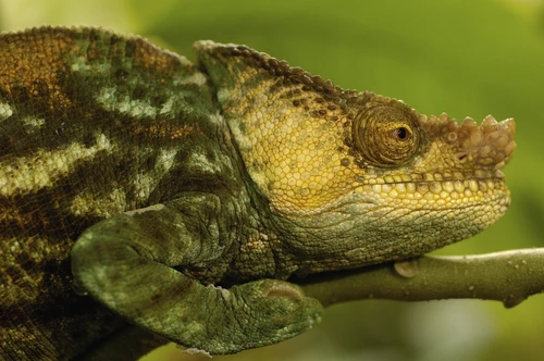
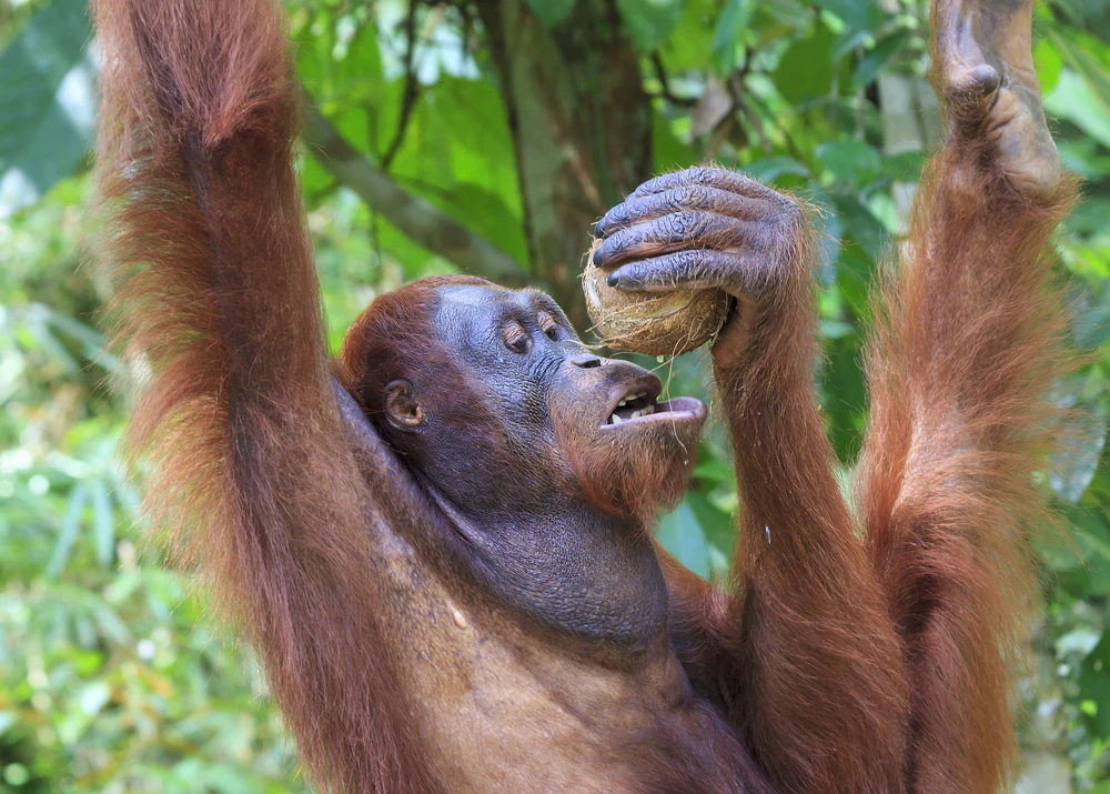
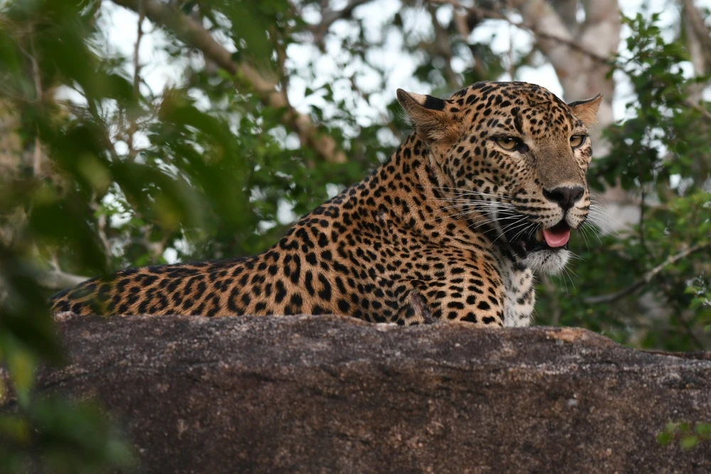
The park’s biodiversity is significant, hosting a wide range of endemic and endangered species. Among the mammals found here are the Philippine warty pig, Luzon bushy-tailed cloud rat, and long-tailed macaque.
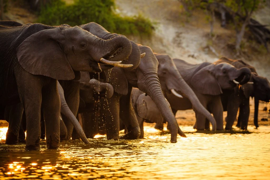
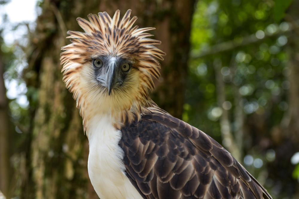
Bird species are particularly abundant, with over 100 recorded, including the Philippine eagle, flame-breasted fruit dove, and Luzon bleeding-heart dove. Reptiles, amphibians, and insects thrive in the forest undergrowth and rivers, contributing to the rich ecological fabric of the area. The park’s isolation and intact habitats make it a refuge for species that are increasingly rare in other parts of Luzon.
Balbalasang-Balbalan National Park is not only a natural sanctuary but also a living cultural landscape. It is home to indigenous Kalinga communities who have long maintained a sustainable relationship with the land through traditional farming, forest stewardship, and rituals.
Stone rice terraces, communal hunting grounds, and sacred sites are scattered throughout the park, offering insight into the deep cultural and spiritual ties between people and nature.
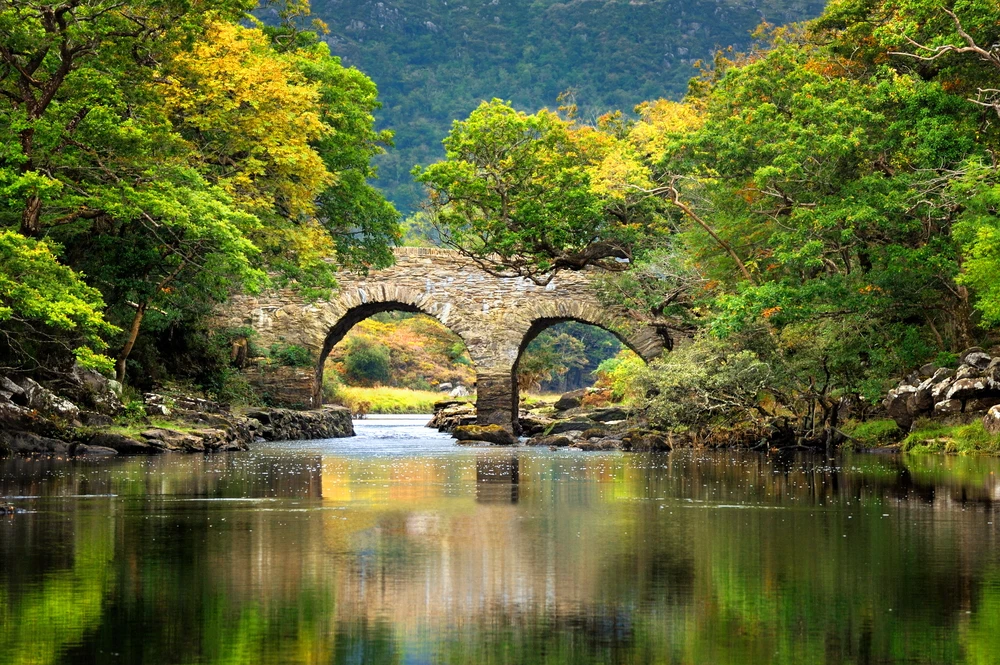
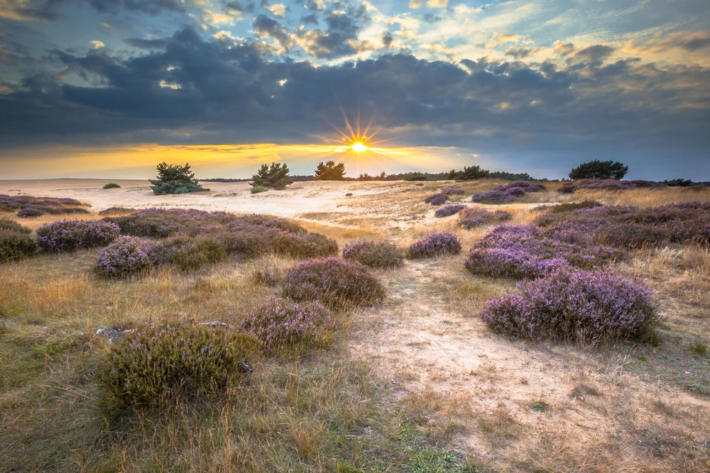
Visitors experience the park primarily through trekking, cultural immersion, birdwatching, and nature photography. Trails lead through forested slopes to viewpoints with sweeping mountain vistas and connect travelers to villages where they can learn about Kalinga traditions and hospitality.
River crossings, waterfall hikes, and forest walks offer a variety of active ways to engage with the landscape. Given its remote location, the park remains a hidden gem, attracting ecotourists and conservationists looking for a more immersive and off-the-beaten-path experience.
Conservation challenges include illegal logging, mining pressures, and land conversion, though these threats are mitigated by strong local involvement and ancestral domain recognition for indigenous communities.
Management of the park increasingly focuses on community-based conservation, where indigenous knowledge and government policy work together to protect natural resources. Recent efforts in environmental education, biodiversity surveys, and sustainable tourism development have led to greater awareness and support for the park’s preservation.

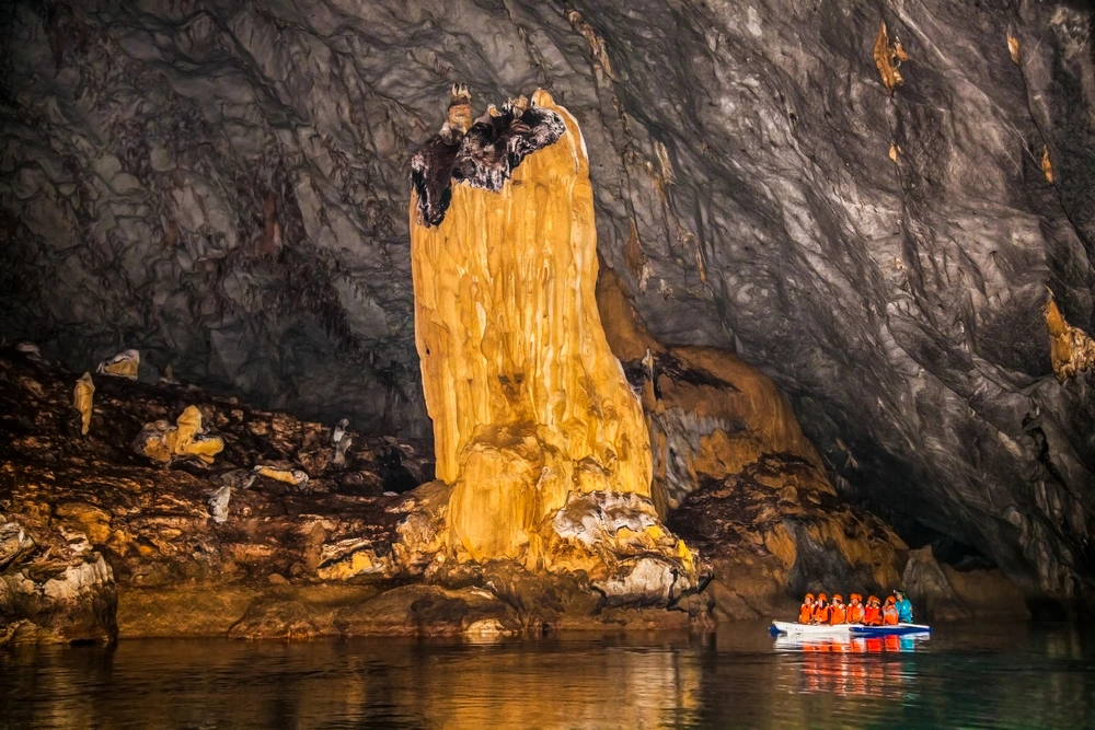
Park Map
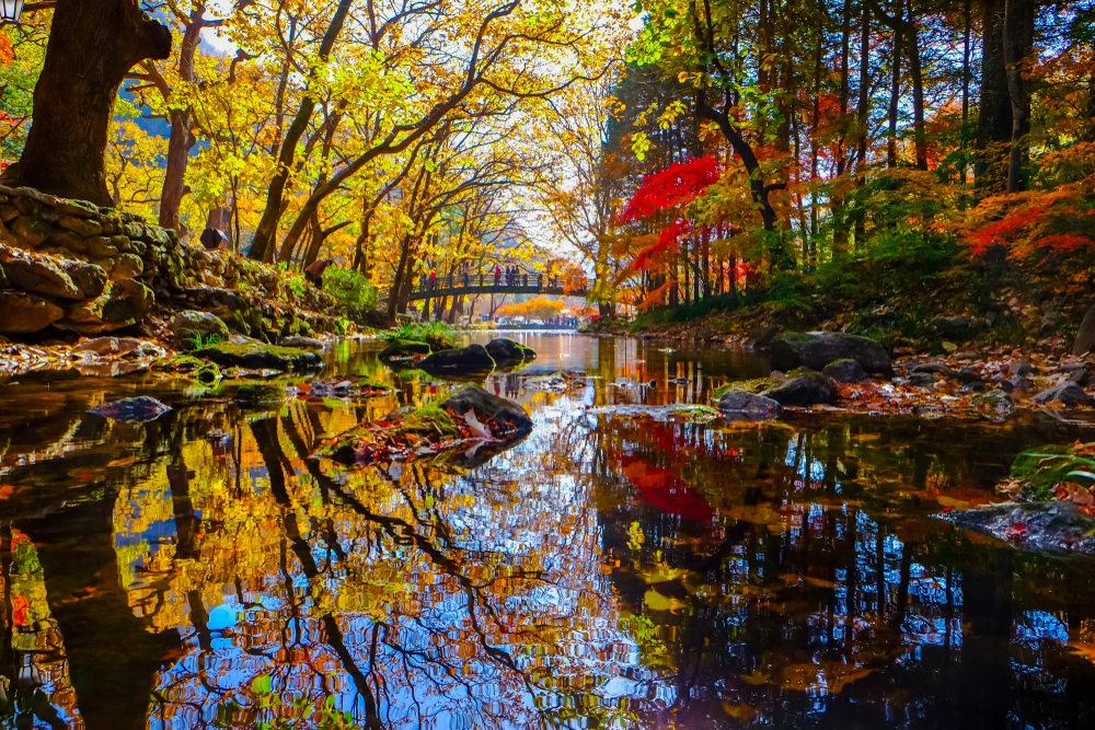
Bangan Hill National Park Highlights
Share your clicks with us