

Mount Longonot Overview
Mount Longonot National Park is a captivating and unique conservation area located in the Great Rift Valley of Kenya, about 90 kilometers northwest of Nairobi. Established to protect Mount Longonot, a striking stratovolcano that last erupted in the early 20th century, the park covers an area of approximately 52 square kilometers (20 square miles). The name “Longonot” is derived from the Maasai word “Oloonong’ot,” meaning “mountains of many spurs” or “steep ridges,” a fitting description of the volcano’s rugged outline.
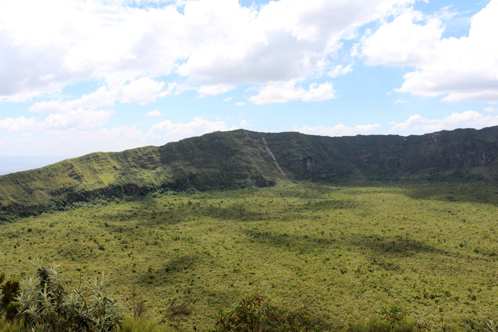
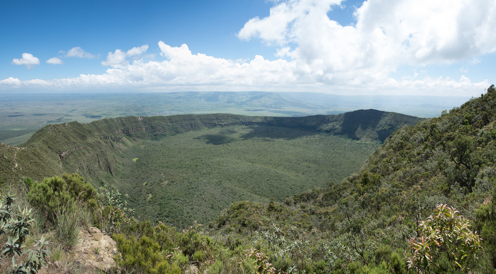
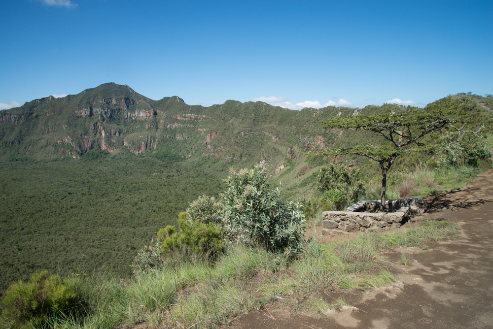
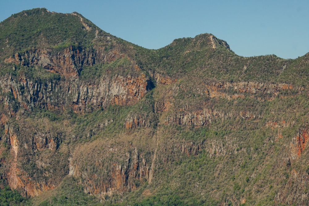
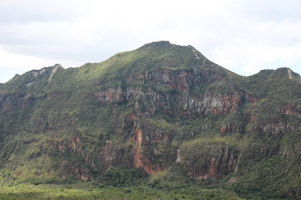
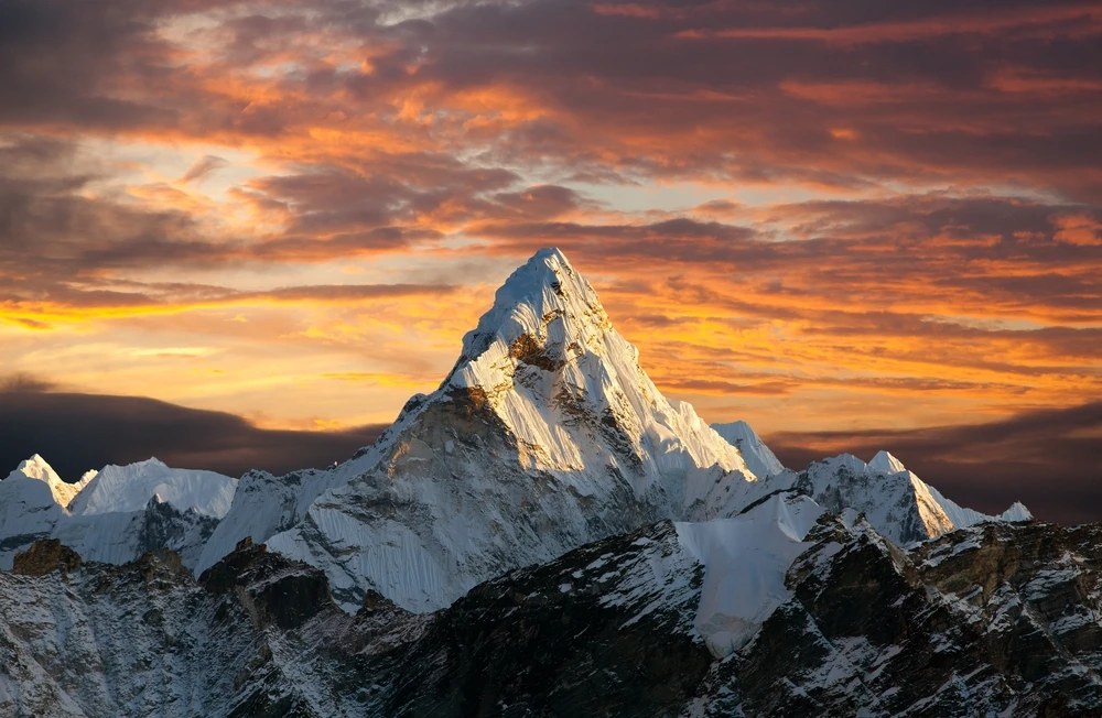
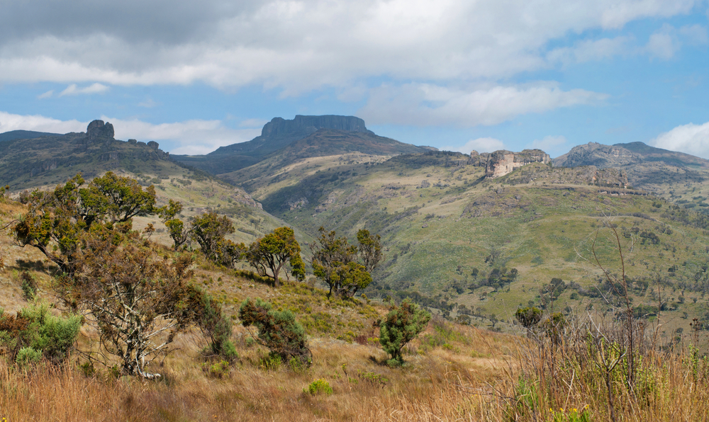
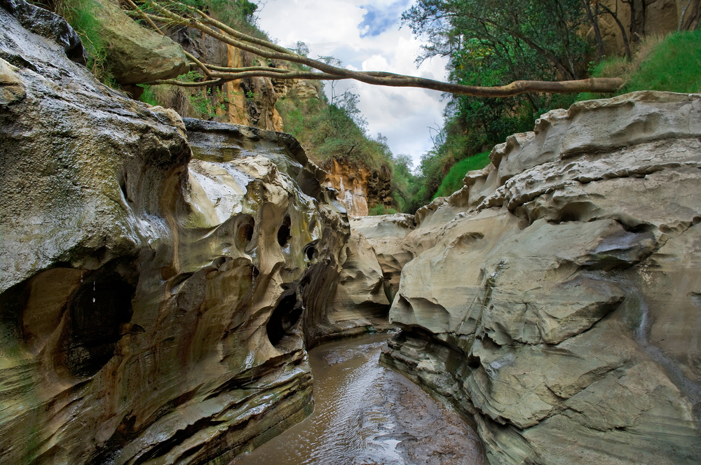
The central feature of Mount Longonot National Park is the massive caldera of Mount Longonot itself, which spans about 2 kilometers in diameter, with its steep sides offering a challenging yet rewarding hike to those who venture to its summit. The peak stands at 2,776 meters (9,108 feet) above sea level, offering breathtaking panoramic views of the Great Rift Valley and the surrounding landscape, including Lake Naivasha, from its top.
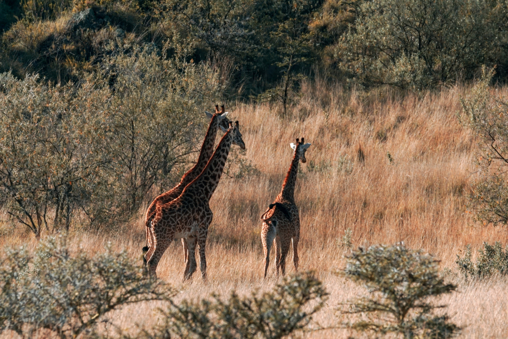
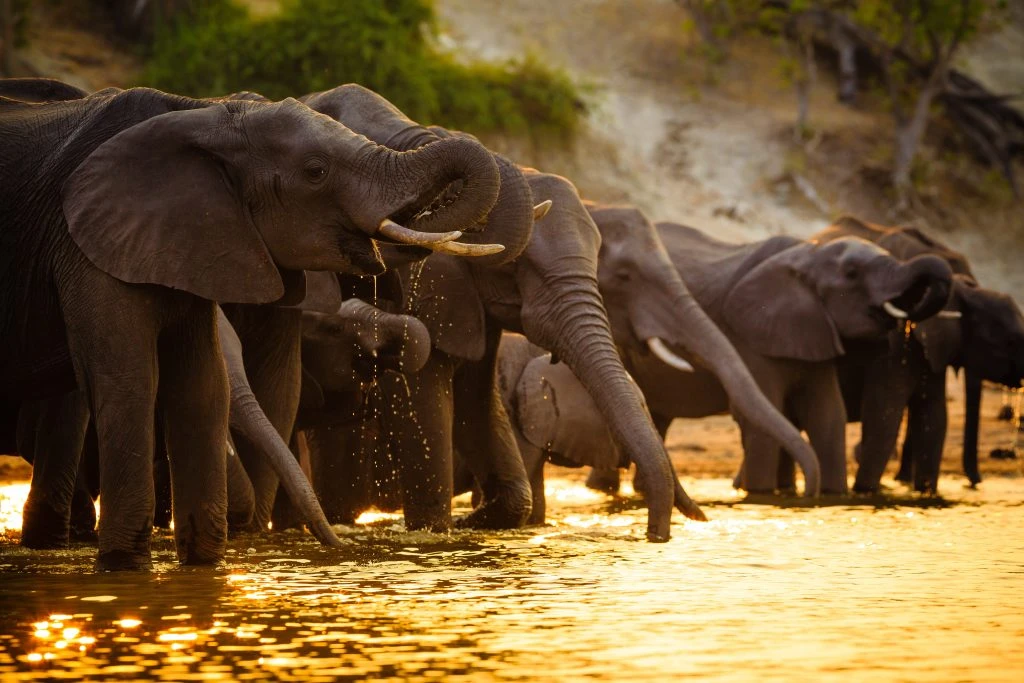
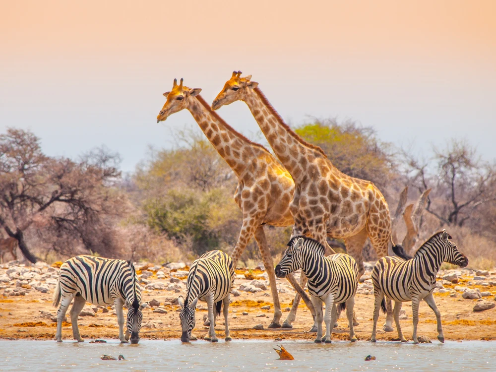
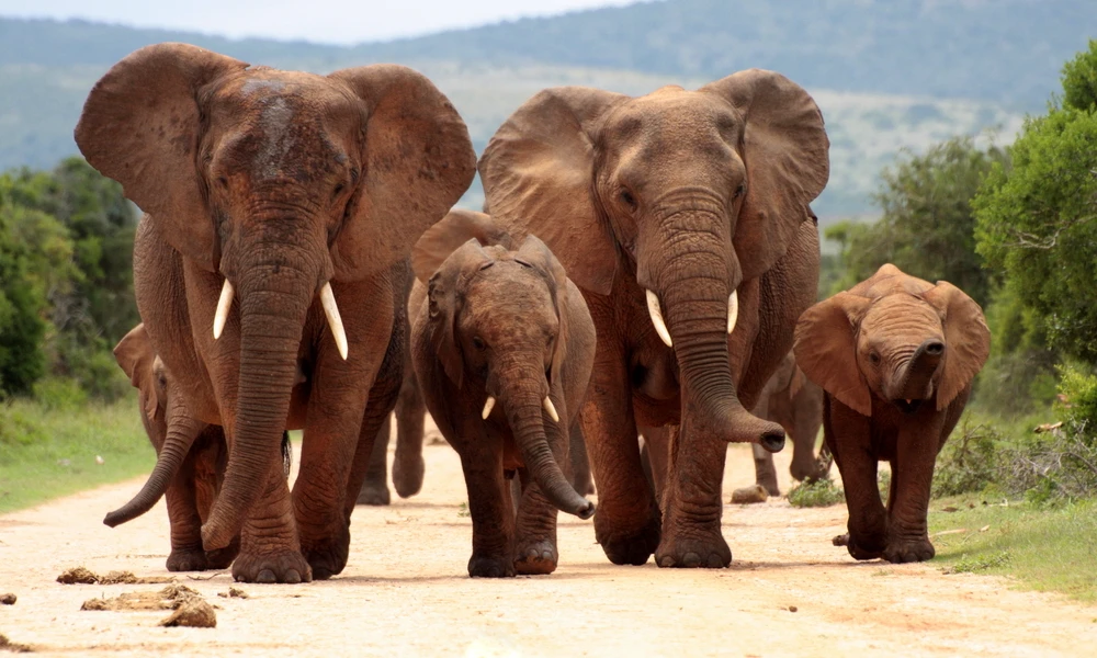
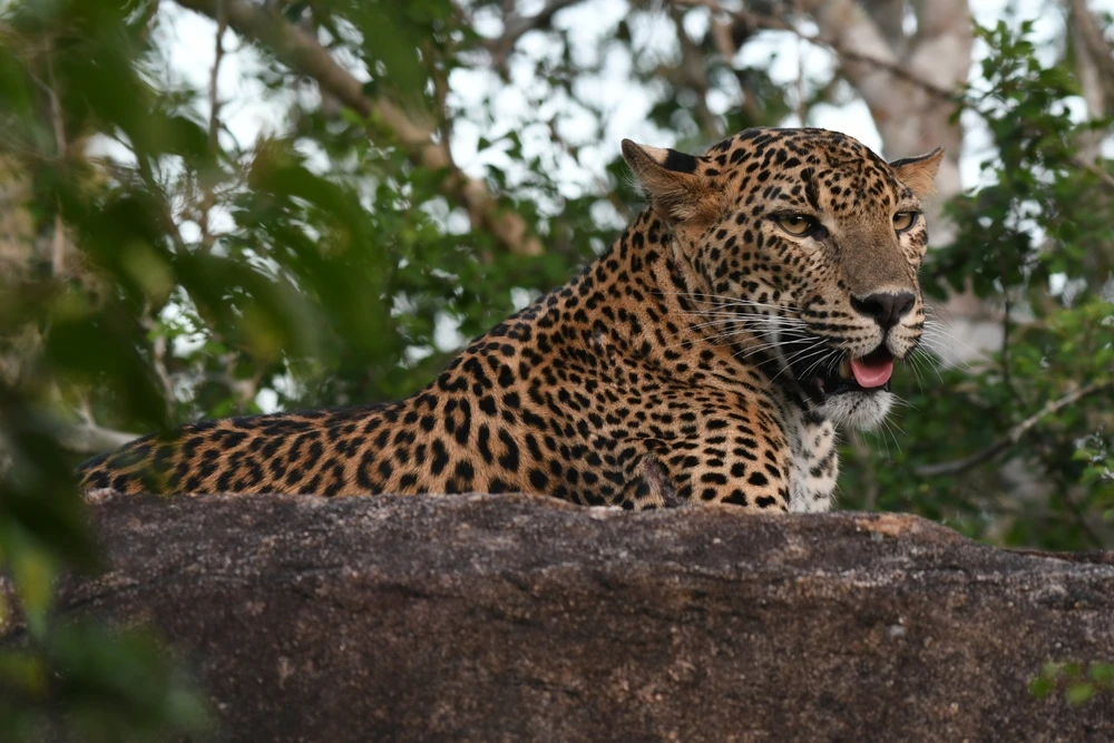
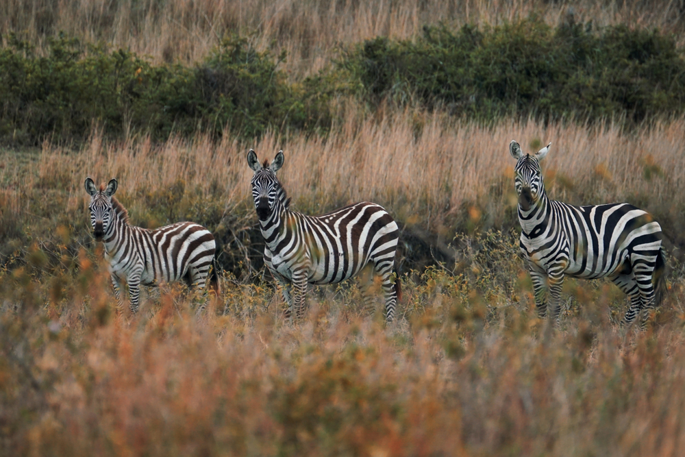
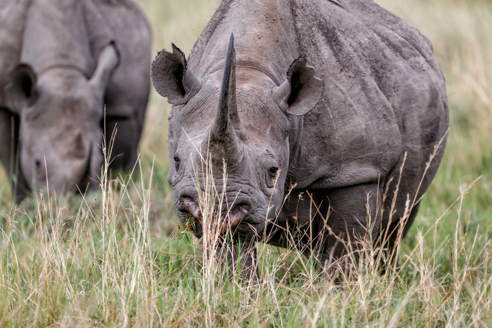
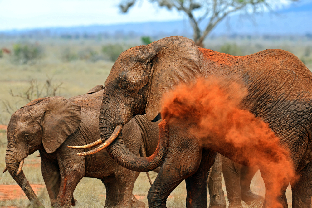
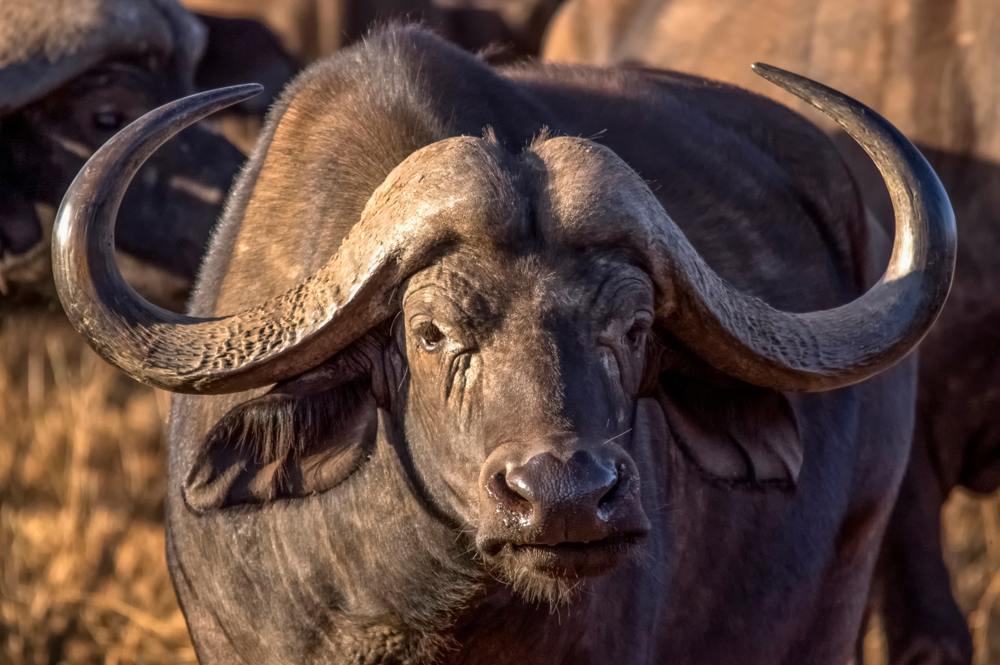
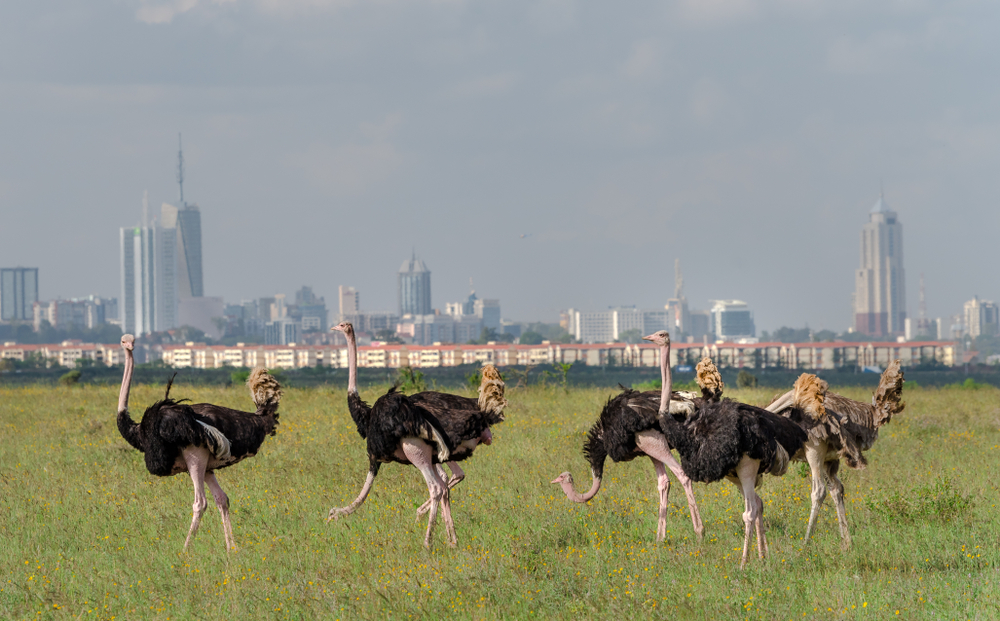
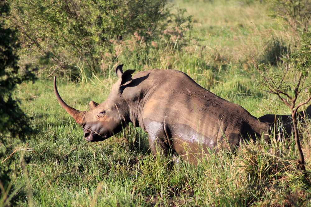
The park’s geography is characterized by the montane forest that lines the base of the mountain, transitioning to shrubs and grasslands as the elevation increases. This diverse habitat supports a variety of wildlife, including giraffes, buffaloes, antelopes, and monkeys, along with numerous bird species, making it an ideal spot for wildlife watching, birding, and photography.
Mount Longonot National Park offers a range of outdoor activities, with the hike to the crater rim being the most popular. This trek allows adventurers to explore the crater’s circumference, offering stunning vistas and a glimpse into the volcanic forces that shaped this remarkable landscape. Additionally, the park provides opportunities for picnicking, mountain biking, and forest walks, making it a perfect day-trip destination for nature lovers, hikers, and those seeking a peaceful escape from the hustle and bustle of city life.
With its unique volcanic features, diverse ecosystems, and proximity to Nairobi, Mount Longonot National Park stands as a testament to Kenya’s natural beauty and geological diversity, offering visitors a memorable experience of adventure and exploration in one of Africa’s most scenic regions.

Park Map
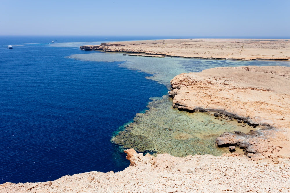
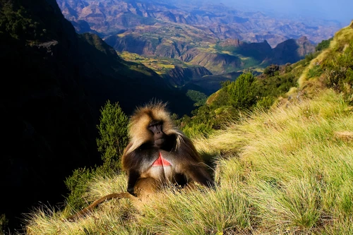
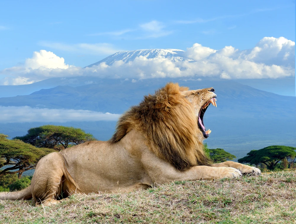
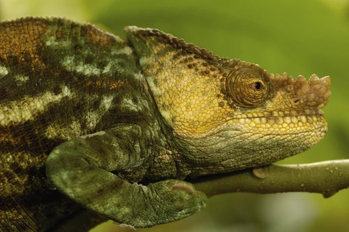
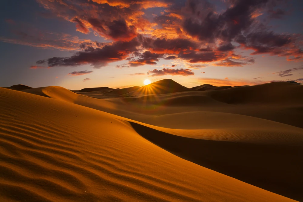
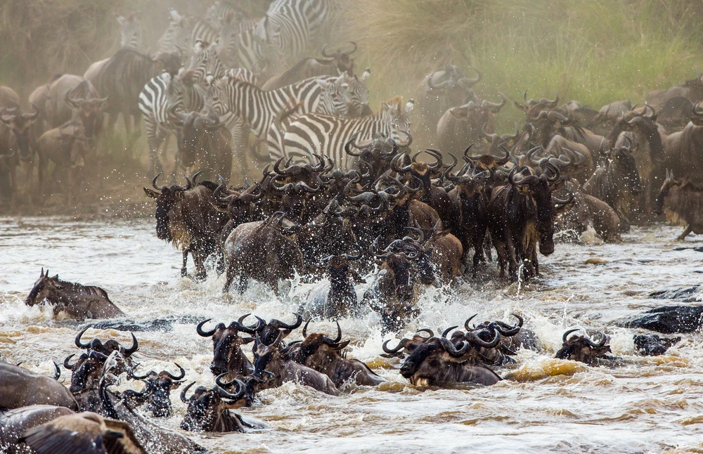
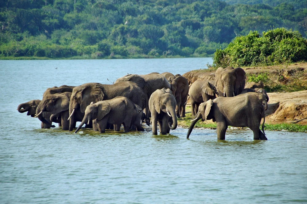
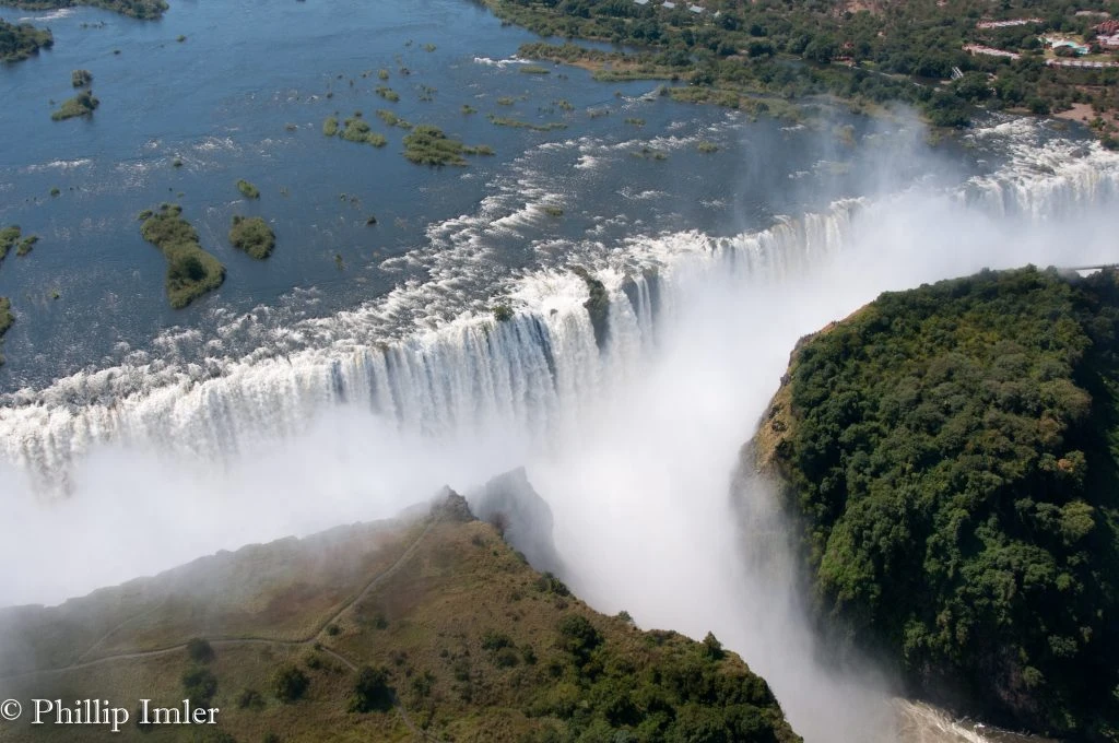
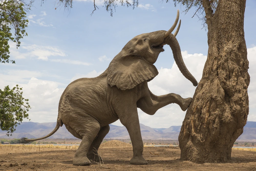
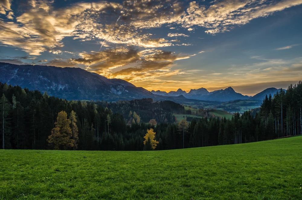
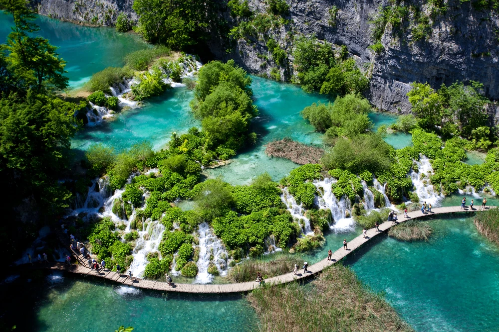
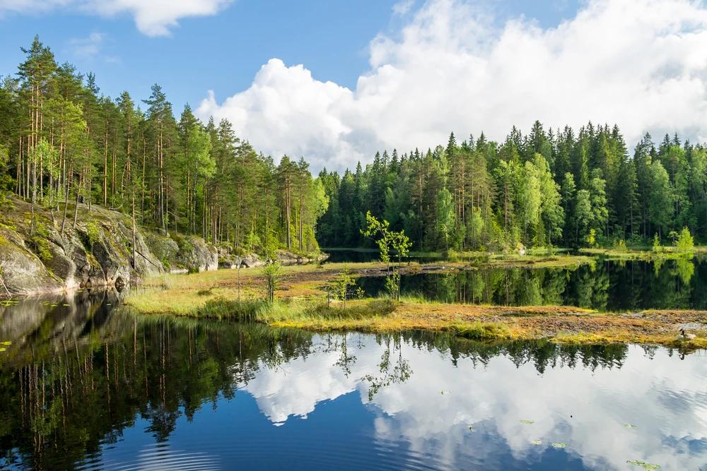
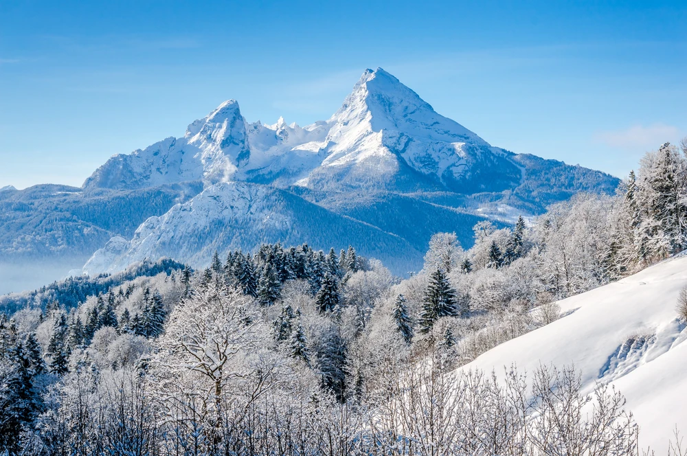
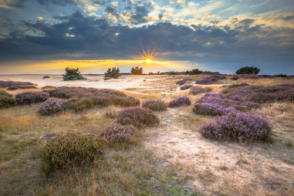
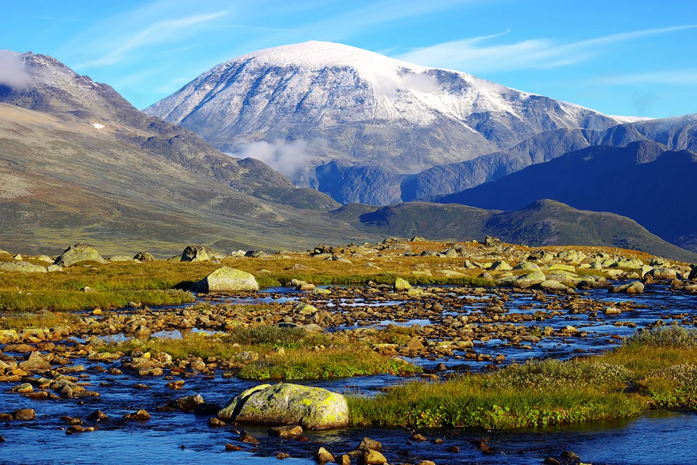
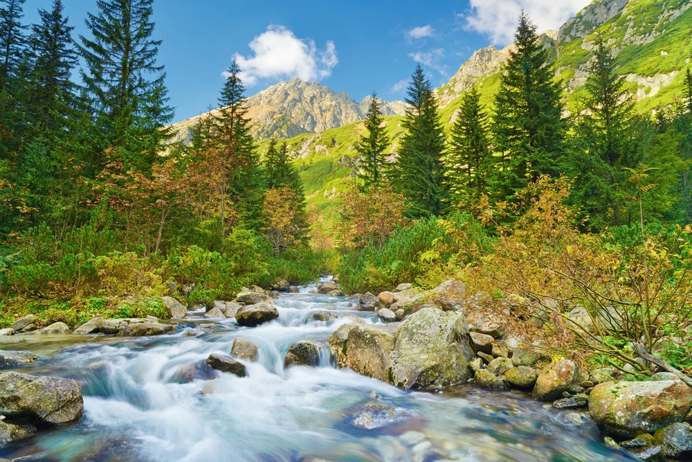
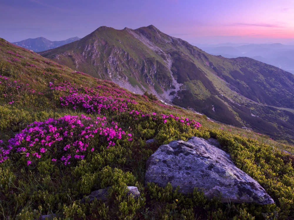
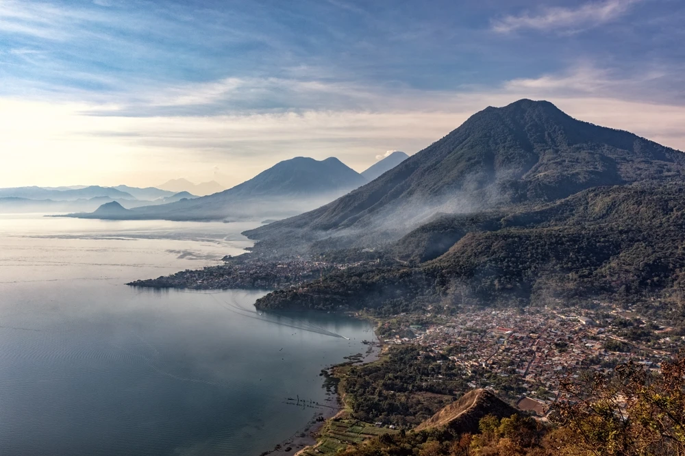
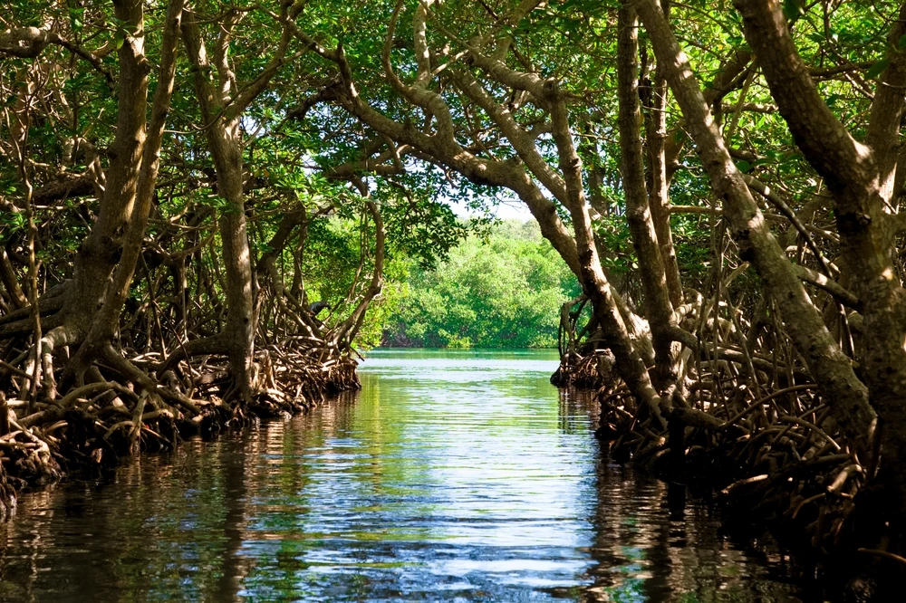
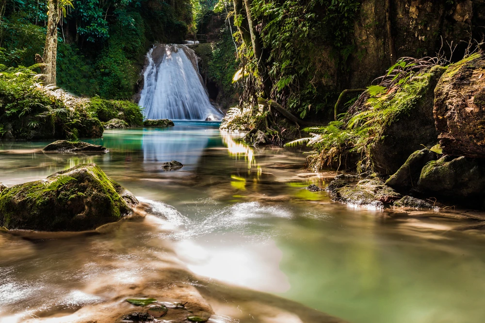
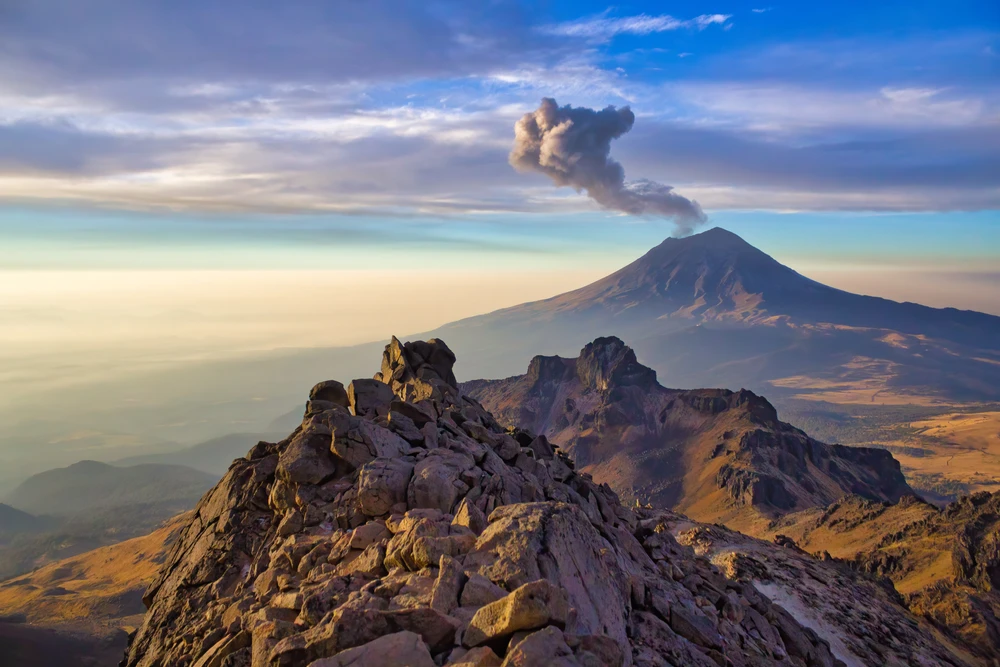
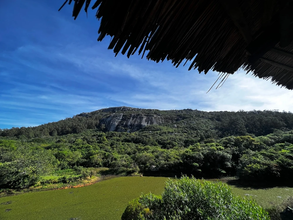
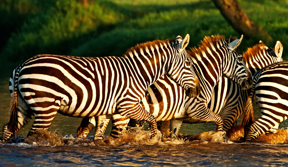
Mount Longonot National Park Pictures
Mount Longonot National Park Trails
Sources
- All Trails, Mount Longonot, https://www.alltrails.com/trail/kenya/rift-valley/mount-longonot, retrieved March 2023.
- Go Visit Kenya, Mount Longonot National Park, https://www.govisitkenya.com/mount-longonot-national-park.html, retrieved March 2023.
- Kenya Wildlife Service, Mount Longonot National Park, http://www.kws.go.ke/content/mount-longonot-national-park, retrieved March 2023.
- Lonely Planet, Longonot National Park, https://www.lonelyplanet.com/kenya/longonot-national-park, retrieved March 2023.
- Siyabona Africa, Mount Longonot National Park, http://www.kenyasafari.com/mount-longonot-national-park.html, retrieved March 2023.