


Llogara Overview
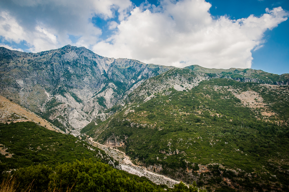
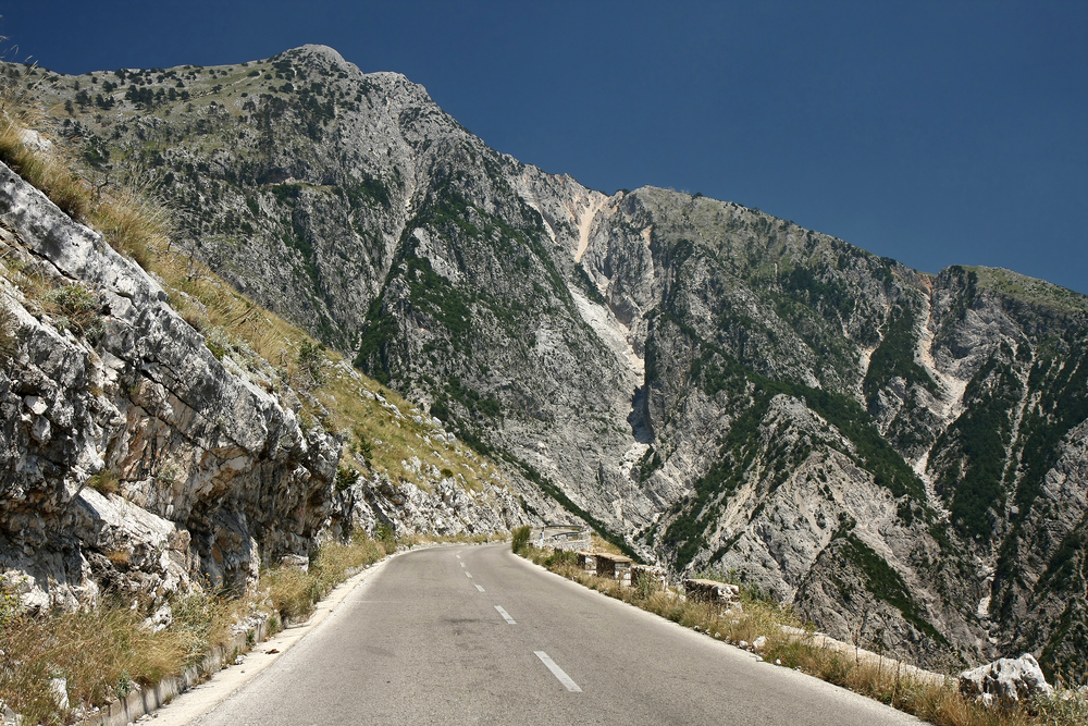
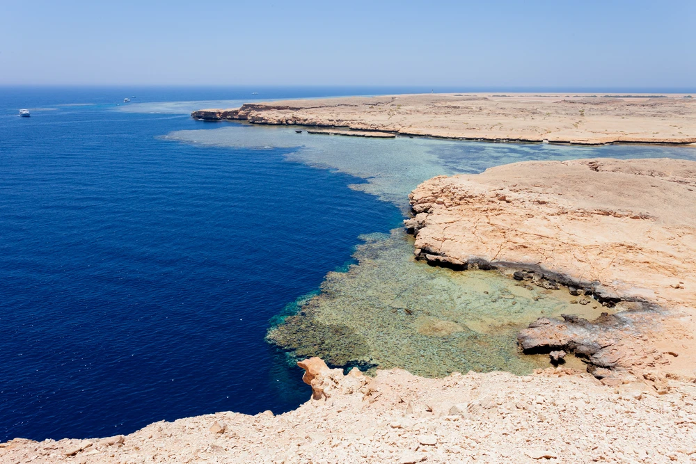
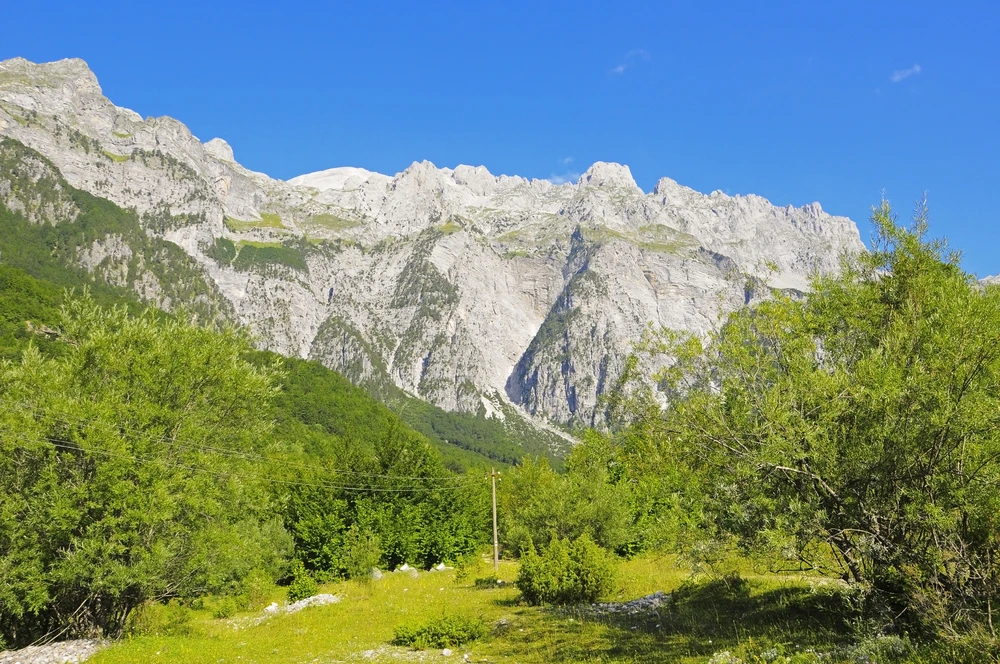
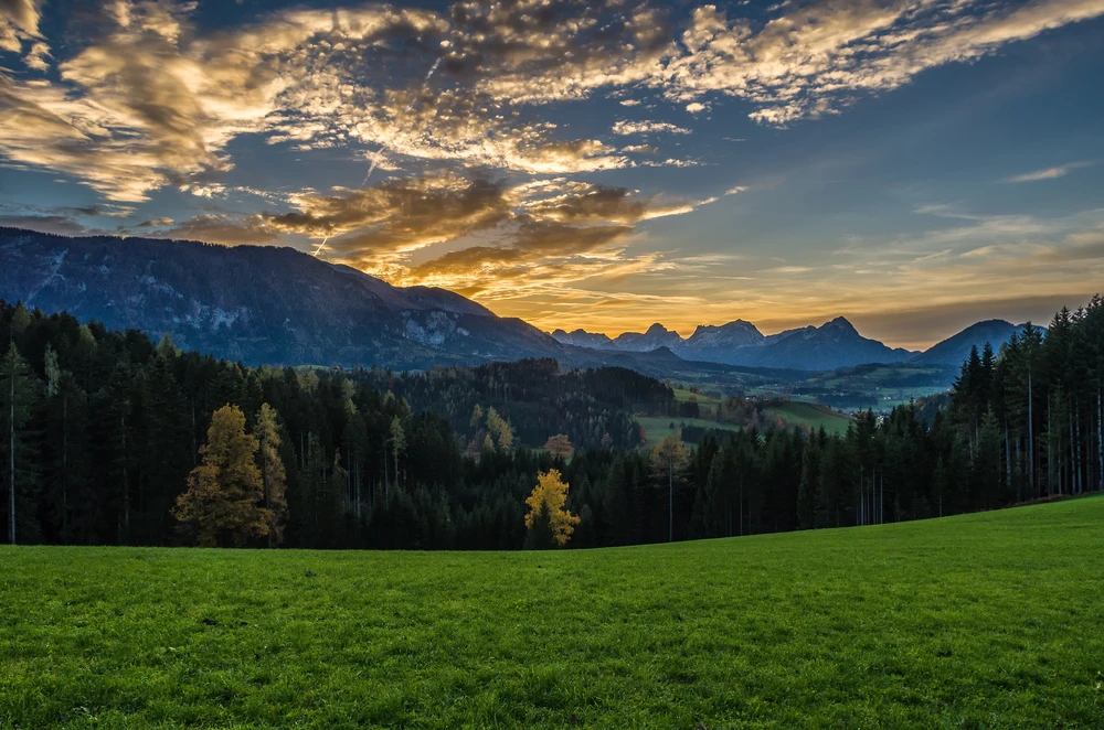
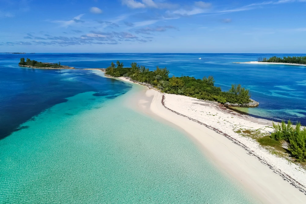
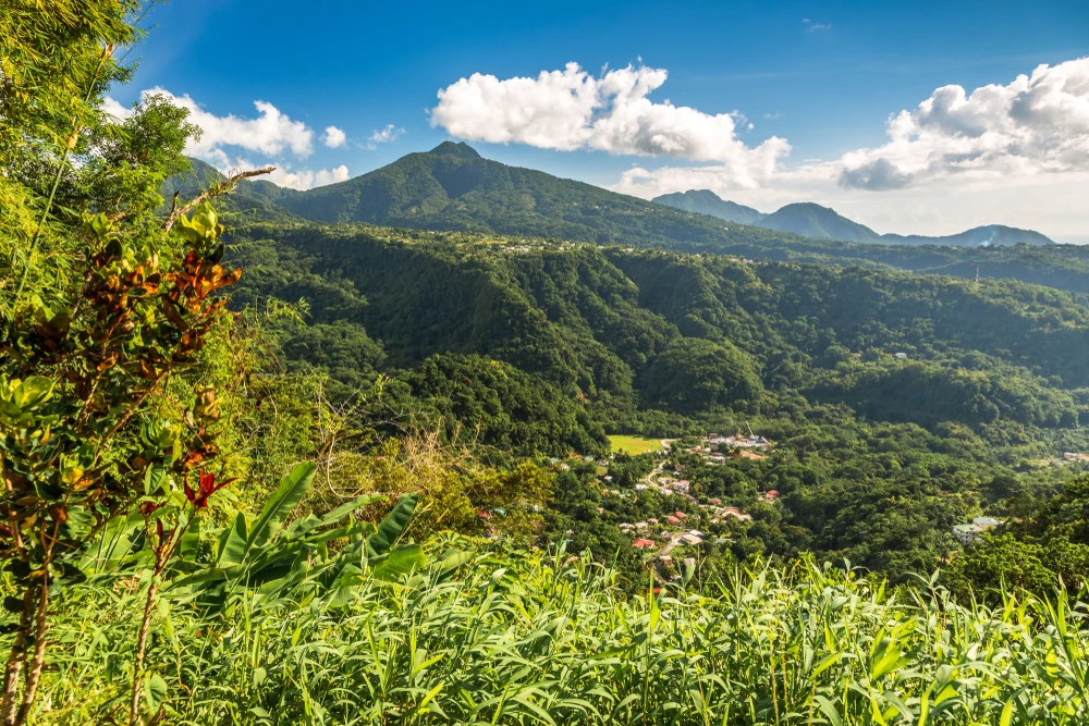
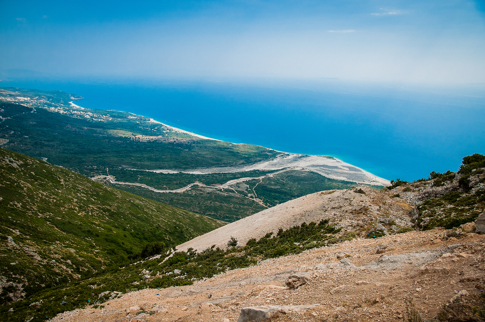
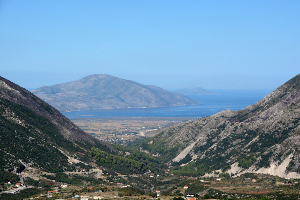
Llogara National Park, nestled in the Ceraunian Mountains along the Albanian Riviera, is a stunning testament to Albania’s natural beauty. Established in 1966, the park spans an area of approximately 10 square kilometers (about 3.9 square miles), situated near the Llogara Pass at an altitude ranging from 470 to 2,018 meters above sea level. This majestic park serves as a gateway between the Ionian coast’s turquoise waters and the country’s rugged interior, offering breathtaking vistas and a diverse array of ecosystems.
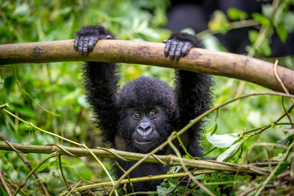
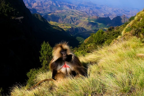
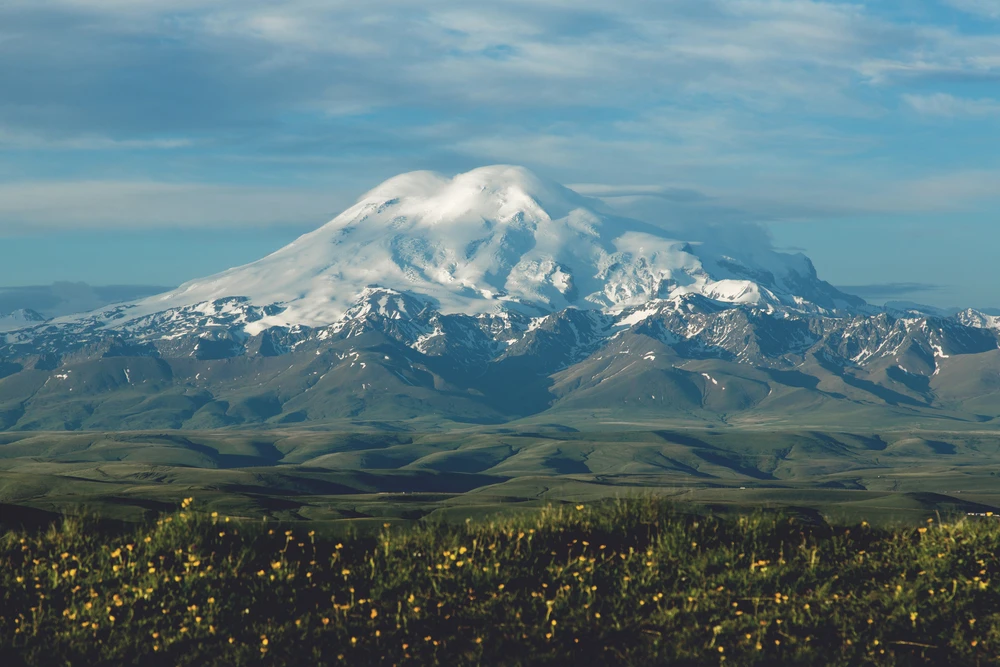
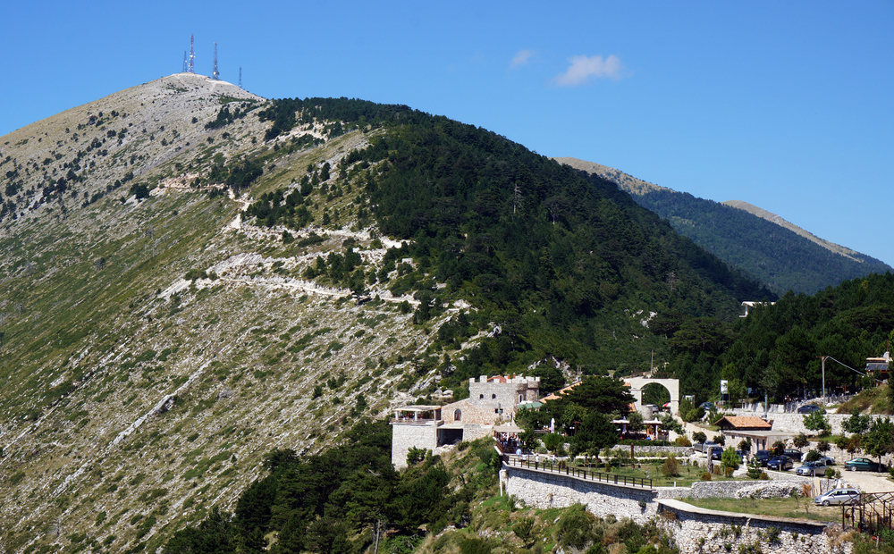
The landscape within Llogara National Park is characterized by its dense forests, composed mainly of pine, fir, and a variety of deciduous trees, interspersed with open meadows and rugged mountain peaks. The park’s high elevation and unique geographical position contribute to its rich biodiversity, supporting a wide range of flora and fauna, including several endemic and rare species. Among its notable residents are the golden eagle, the European wildcat, and the fallow deer.
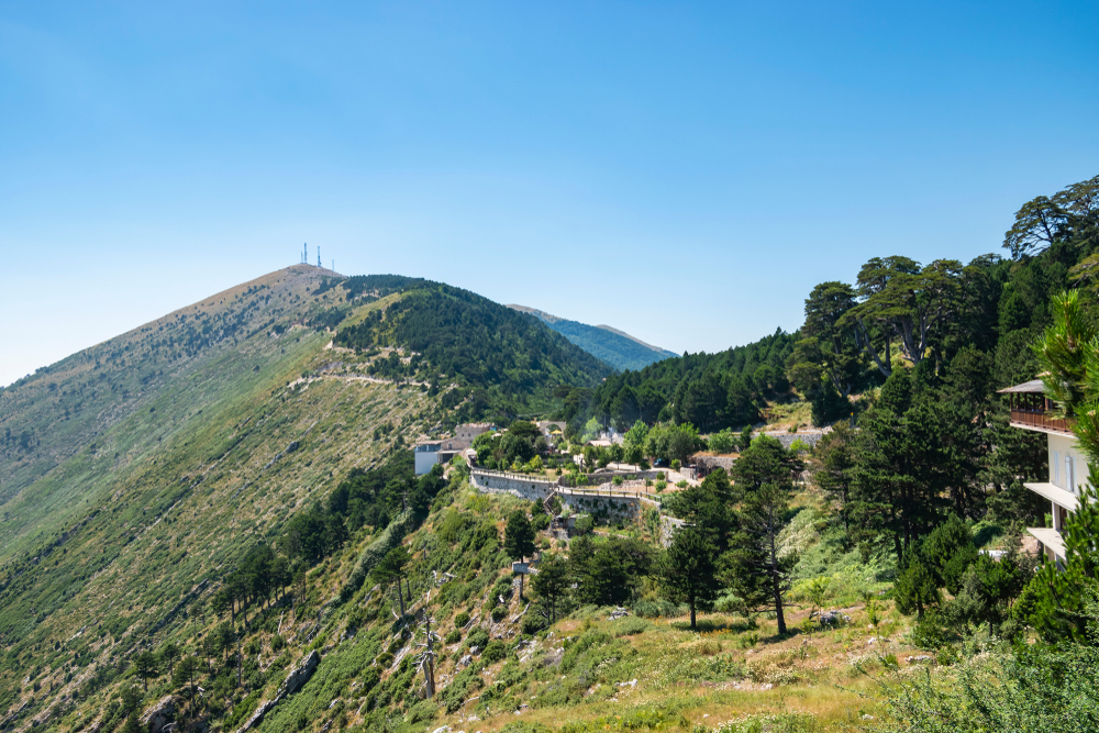
One of the park’s most iconic features is the “Flag Pine,” a peculiarly shaped pine tree that has become a symbol of the area and a favorite spot for photographs among visitors. The Llogara Pass itself offers panoramic views of the Ionian Sea and the surrounding mountains, making it a popular destination for paragliding, hiking, and nature observation.
Llogara National Park is not only a haven for nature enthusiasts but also a place of historical and cultural significance, with several legends and historical events tied to the region. The park’s trails and scenic roads provide access to untouched natural landscapes and traditional Albanian villages, where visitors can experience the local hospitality and cuisine.
With its stunning scenery, diverse ecosystems, and recreational opportunities, Llogara National Park embodies the natural splendor of Albania’s coast and mountains. It invites visitors to explore its trails, breathe in the fresh mountain air, and marvel at the breathtaking views that define the Albanian Riviera.

Park Map
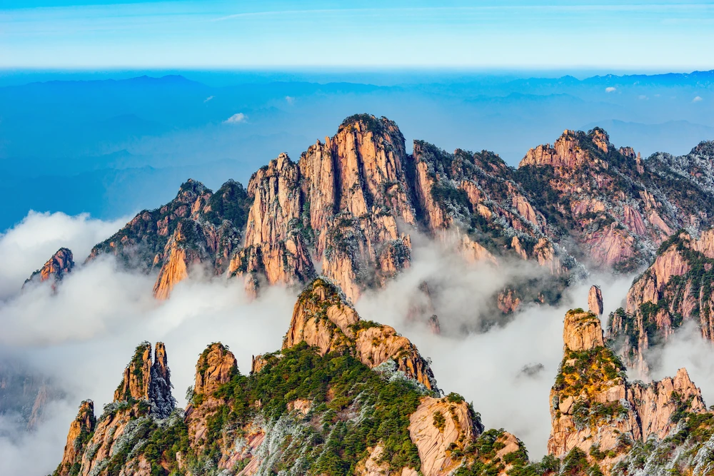
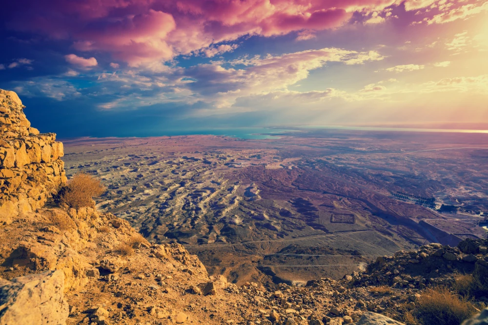
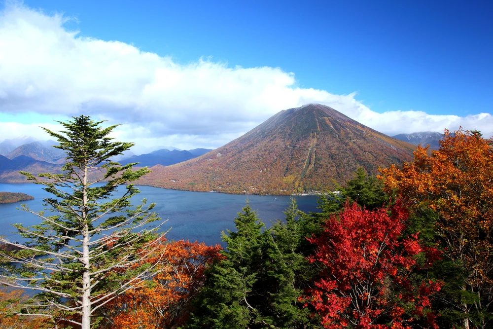
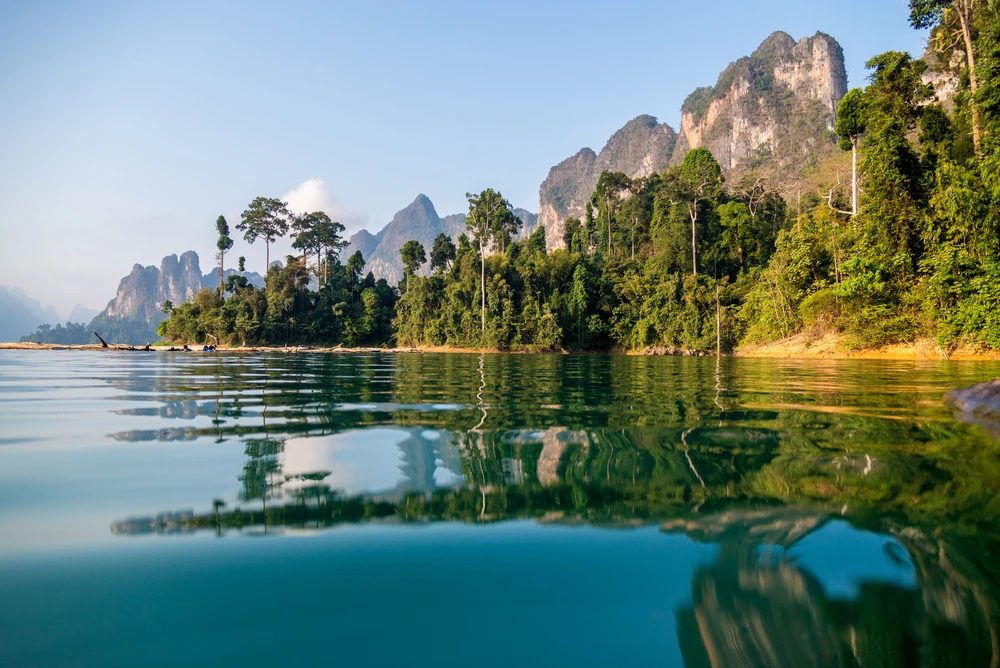
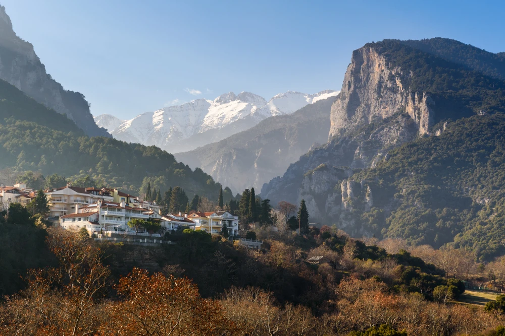
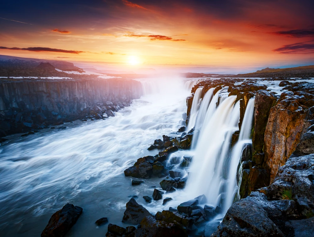
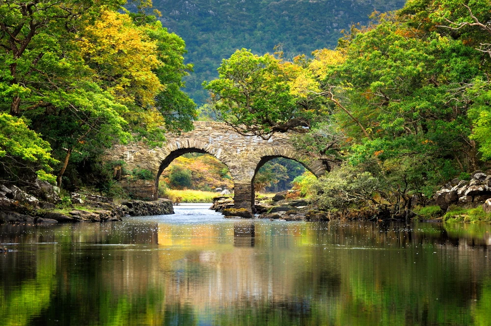
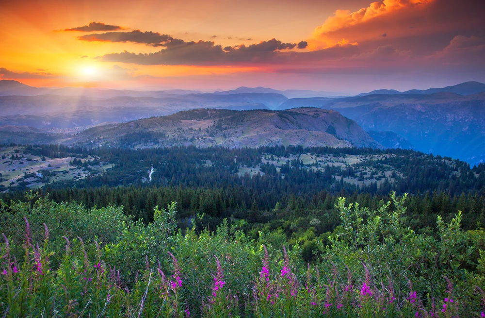
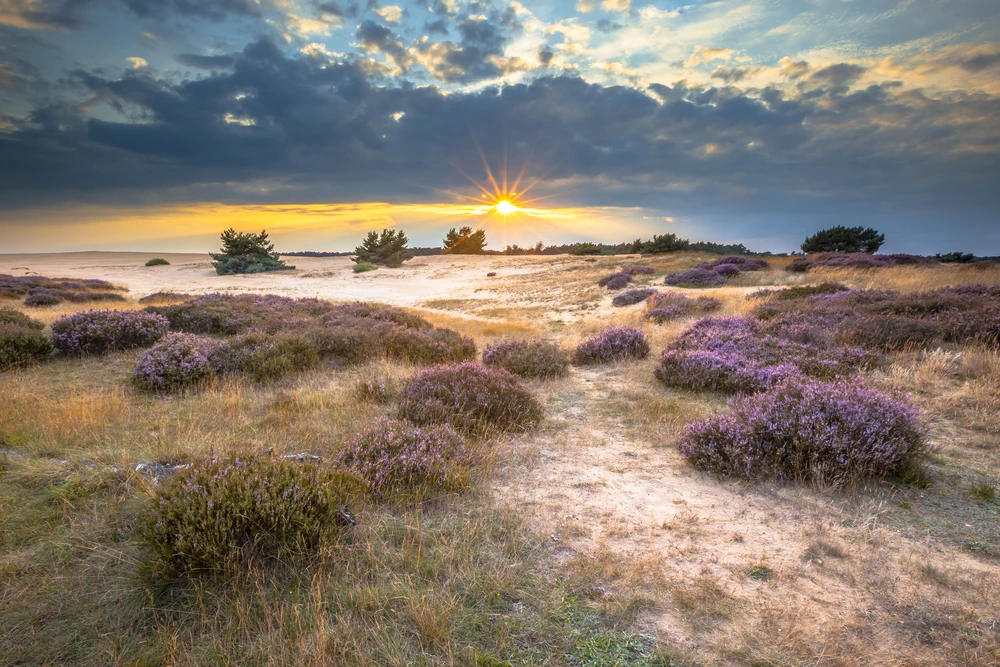
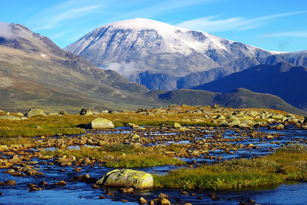
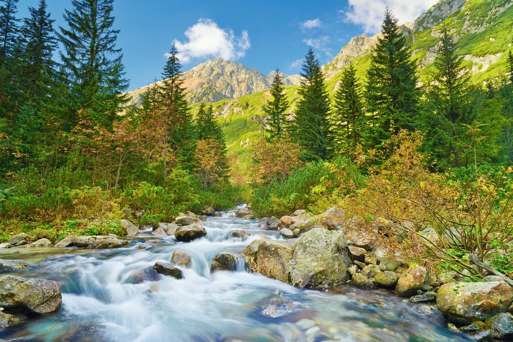
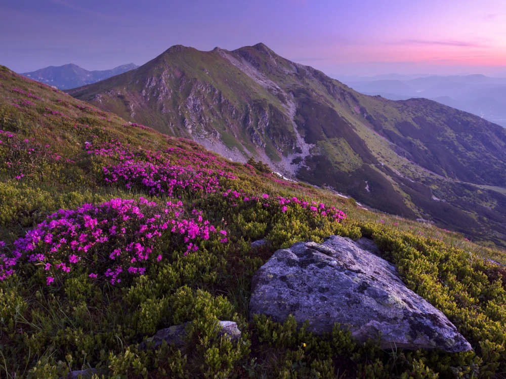
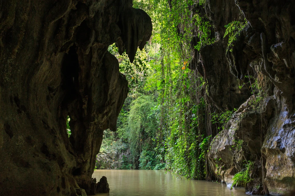
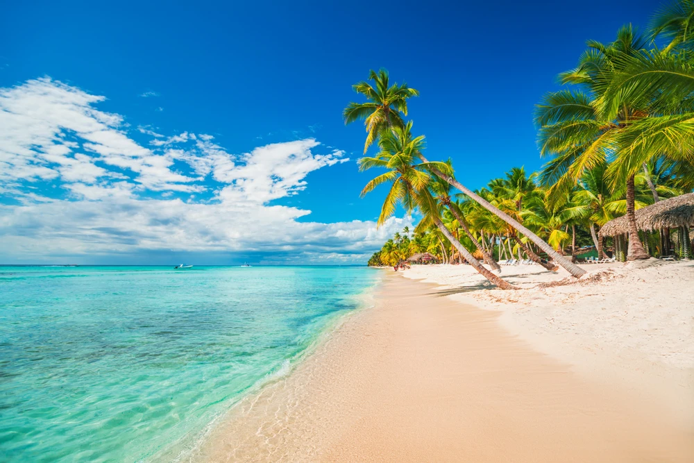
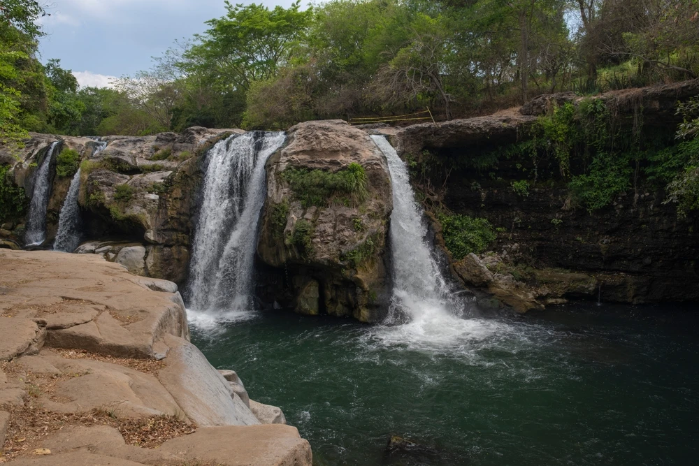
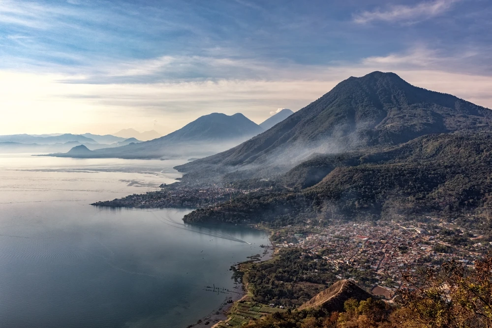
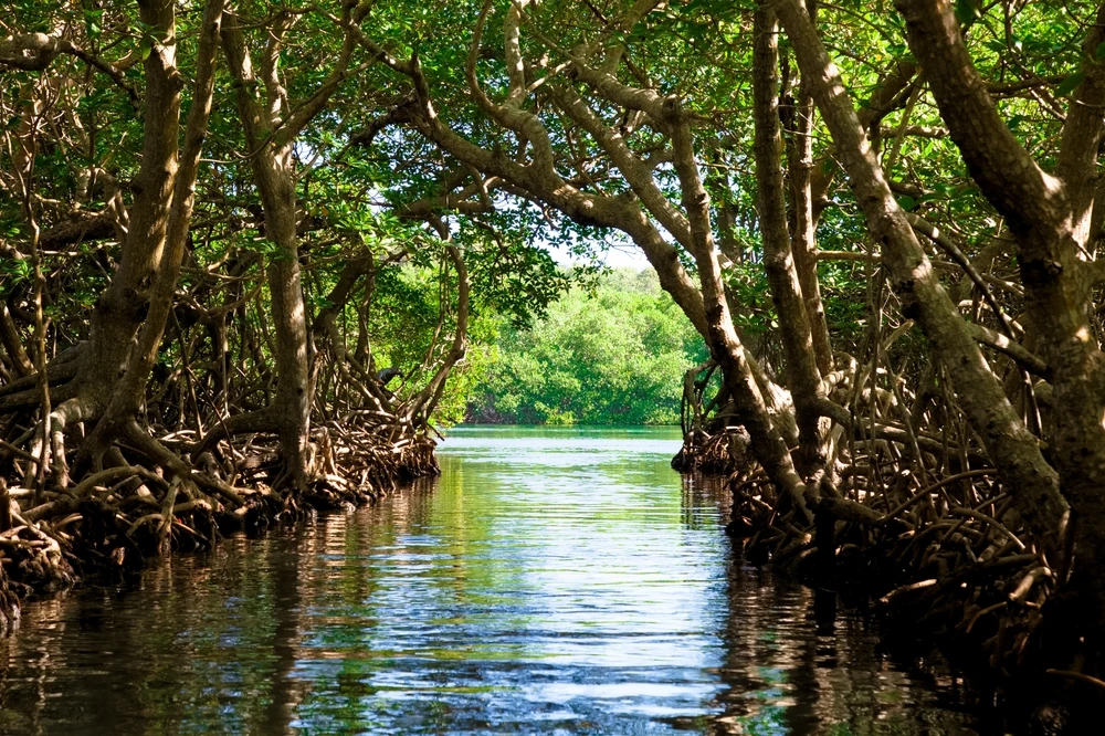
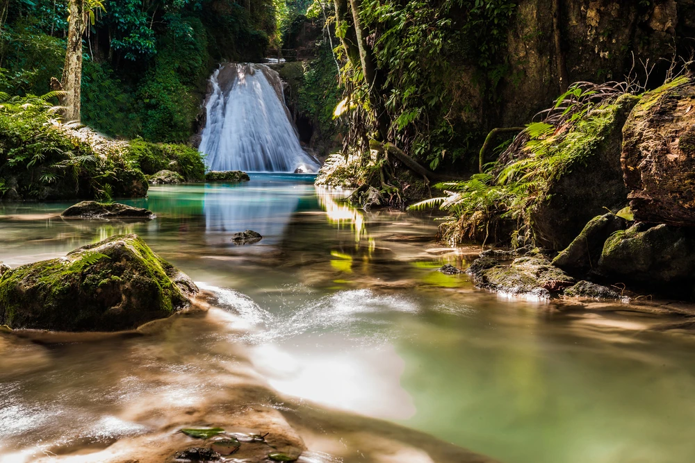
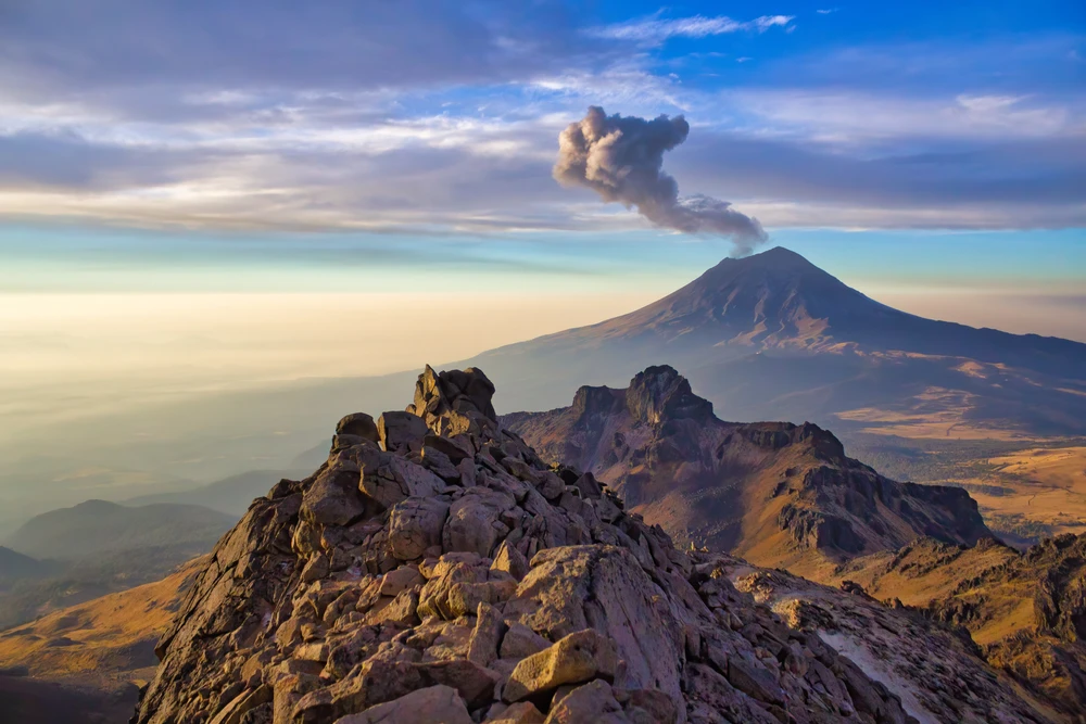
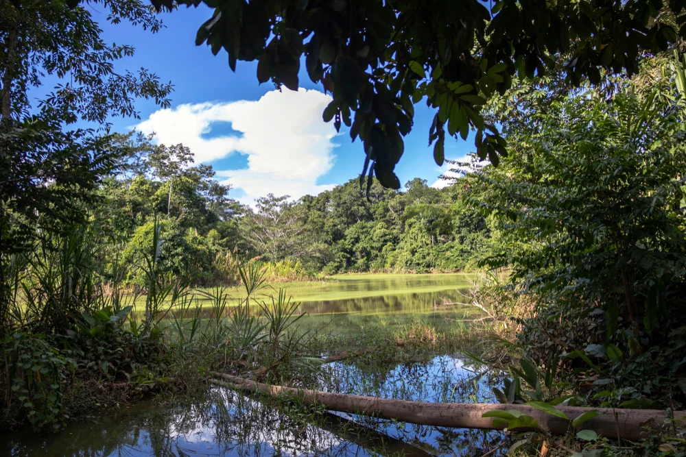
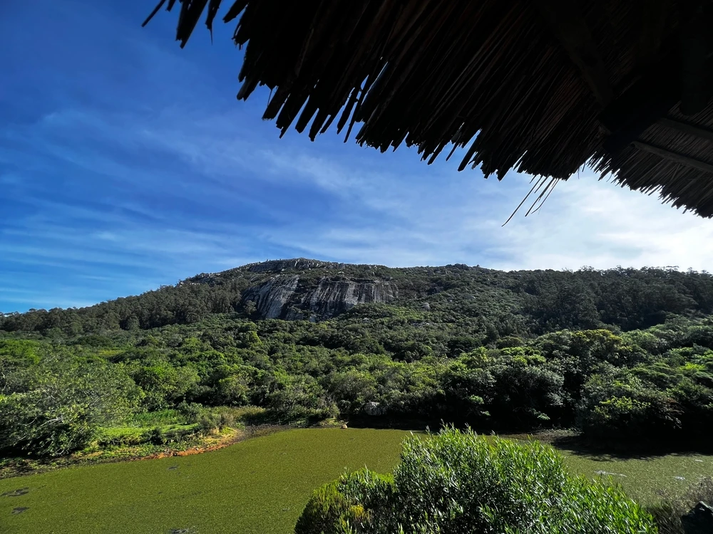
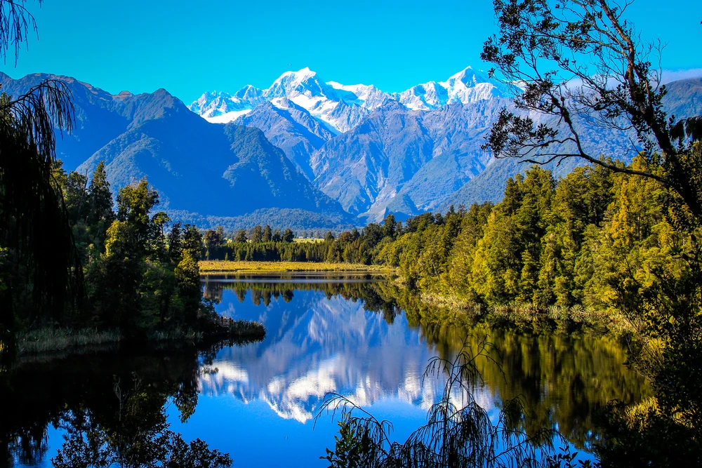
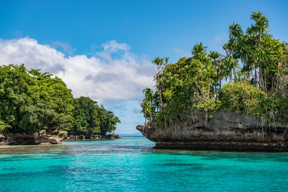
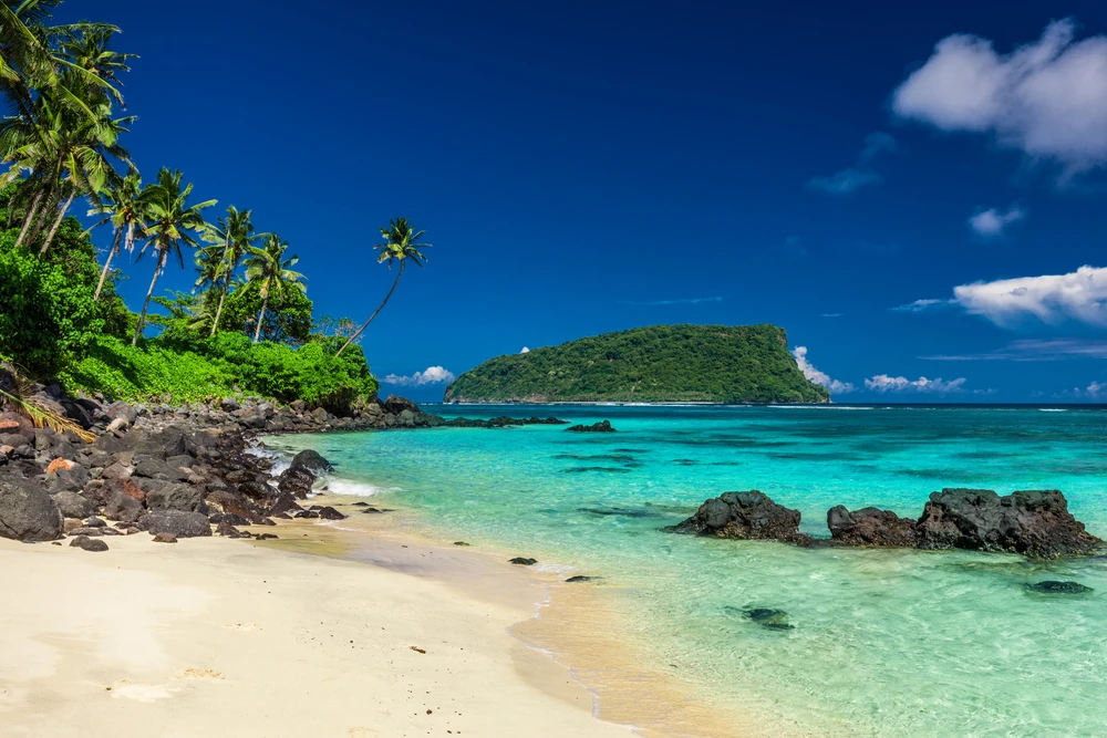
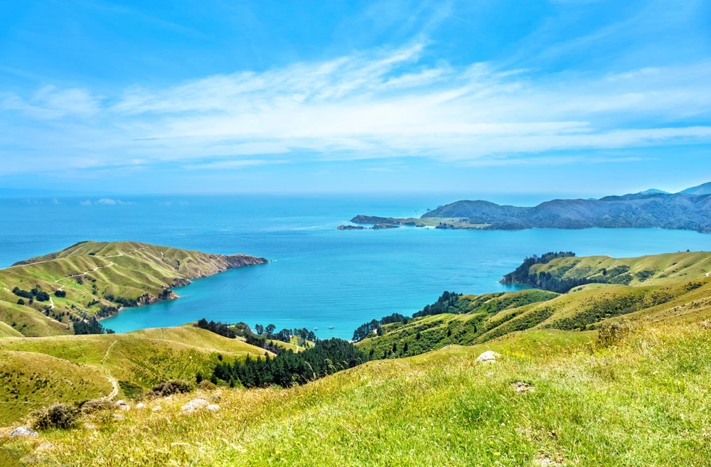
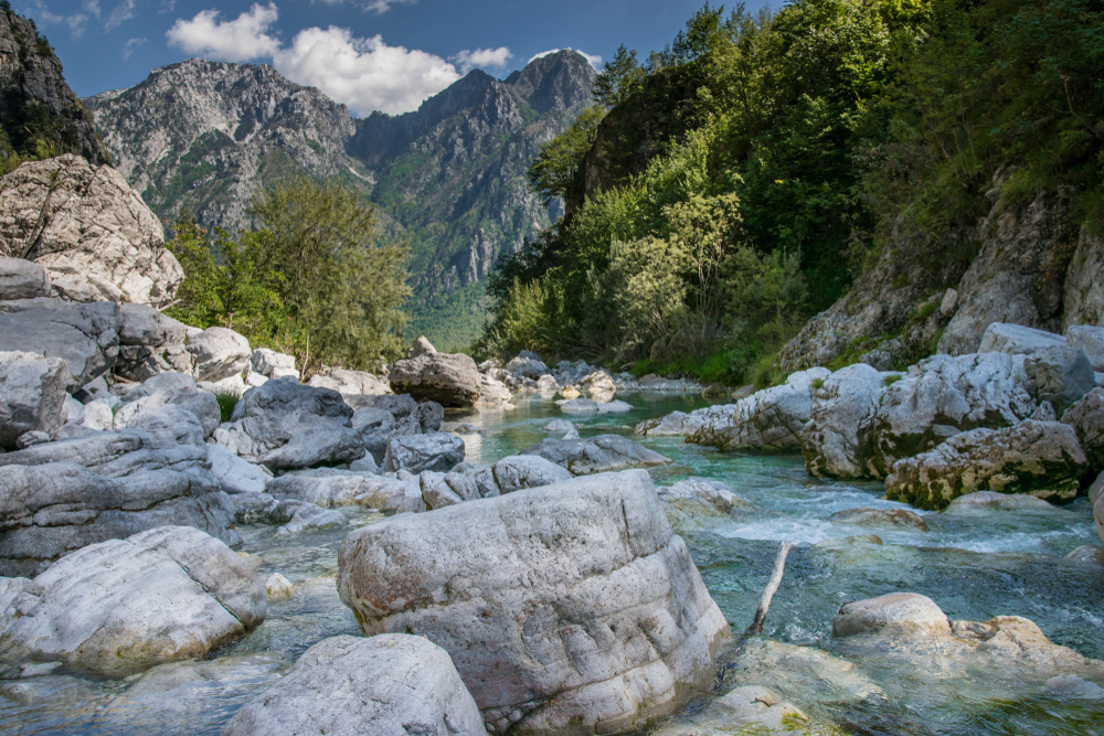
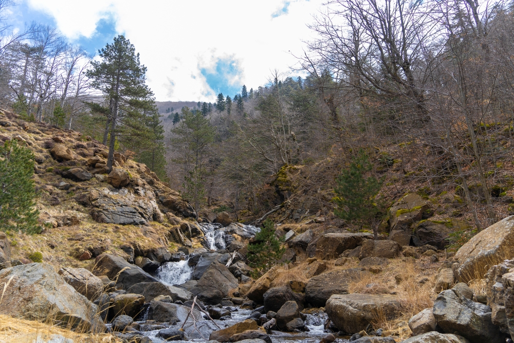
Llogara National Park Pictures
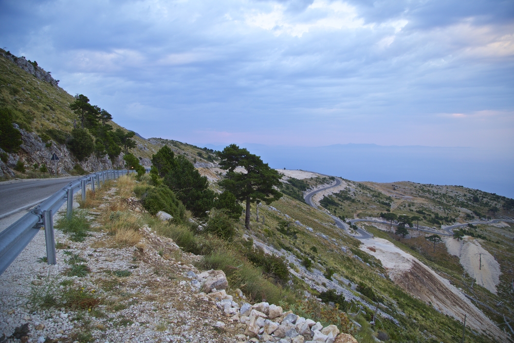
Llogara National Park Trails
Llogara Pass to Qafa e Thanës Trail
Rating: Moderate
Distance and Elevation Gain: 5 miles (8 km) one way, 1,300 feet (400 meters)
Description: This trail takes hikers from the Llogara Pass to the stunning vista at Qafa e Thanës, offering panoramic views of the Ionian coast and the Ceraunian Mountains.
The path winds through pine forests and open meadows, with opportunities to spot local wildlife and endemic plants.
It’s a perfect hike for those looking to experience the diverse terrain and breathtaking scenery of Llogara National Park.
The Caesar's Trail
Rating: Moderate to Difficult
Distance and Elevation Gain: 3.5 miles (5.6 km) one way, 2,000 feet (610 meters)
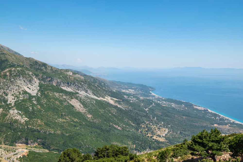
Description: Following an ancient path that Julius Caesar is said to have taken during the Roman Civil War, this trail connects Llogara Pass with the village of Dhermi.
Hikers can enjoy spectacular views of the Adriatic Sea and the rugged coastline below. The trail is steep and challenging but rewards adventurers with its historical significance and stunning vistas.
The Flag Pine Circuit
Rating: Easy
Distance and Elevation Gain: 2 miles (3.2 km) loop, 150 feet (45 meters)
Description: This gentle loop trail starts and ends at the Llogara Visitor Center, taking hikers through a beautiful pine forest to the iconic Flag Pine, a uniquely shaped tree that has become a symbol of the park.
Along the way, visitors can enjoy views of the surrounding mountains and the deep blue sea, making it an ideal walk for families and casual hikers.
The Eagles' Flight Viewpoint Trail
Rating: Easy
Distance and Elevation Gain: 1 mile (1.6 km) round trip, 200 feet (60 meters)
Description: This short hike leads to one of the most breathtaking viewpoints in the park, where hikers can watch paragliders take off and ride the thermal currents above the Llogara Pass.
The trail offers panoramic views of the coast and the chance to see eagles soaring overhead.
It’s a quick and rewarding hike, perfect for capturing stunning photographs.
Maja e Çikës Summit
Rating: Difficult
Distance and Elevation Gain: 10 miles (16 km) round trip, 3,500 feet (1,067 meters)
Description: For the more adventurous, this challenging trail leads to the summit of Maja e Çikës, the highest peak in the Llogara range.
Hikers will navigate steep ascents through mountainous terrain, encountering alpine meadows and possibly even snow patches near the top.
The summit offers unparalleled 360-degree views of the national park, the Ionian Sea, and the surrounding mountains. It’s a demanding hike but incredibly rewarding for experienced hikers.
Related National Parks More Albania
Sources
- Active Albania, Hiking Llogara National Park to Mount Cika, https://www.activealbania.com/tour/hiking-llogara-national-park-mount-cika, retrieved April 2024.
- Albania Riviera, Llogara Pass and Llogara National Park, http://www.albanian-riviera.net/llogara/, retrieved April 2024.
- All Trails, Best Trails In Llogara National Park, https://www.alltrails.com/parks/albania/vlore/parku-kombetar-i-llogarase, retrieved April 2024.
- Into Albania, Llogara National Park, https://www.intoalbania.com/attraction/llogara-national-park/, retrieved April 2024.
- Llogara Park, Paths, https://www.llogara.guide/en/paths/, retrieved April 2024.
- Visit Himara, Llogara National Park, https://www.visithimara.al/destinations/himara-region/llogara-national-park/, retrieved April 2024.
- Wiki Voyage, Llogara National Park, https://en.wikivoyage.org/wiki/Llogara_National_Park, retrieved April 2024.