Flood Plains Overview
Flood Plains National Park in Sri Lanka, locally known as Jala Sancharana Jala Aranya Jathika Udyanaya, is an ecologically significant protected area that forms part of the Mahaweli River Development Project. Situated in the North Central Province near Polonnaruwa, the park covers approximately 144 square miles (373 square kilometers).
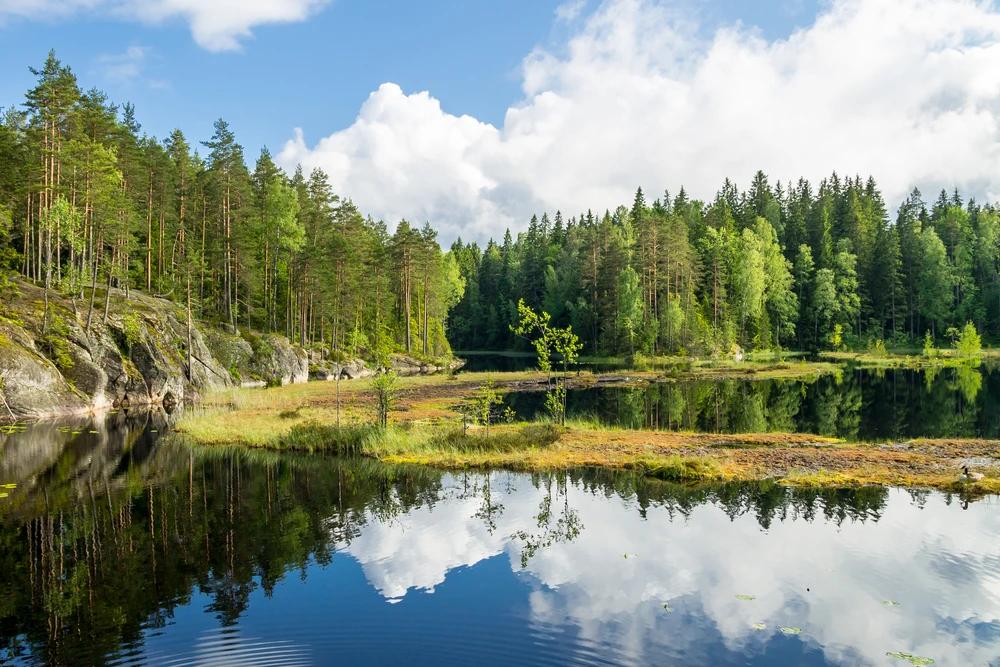
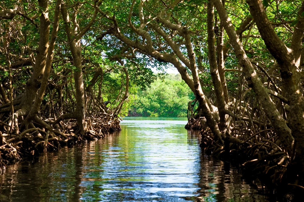
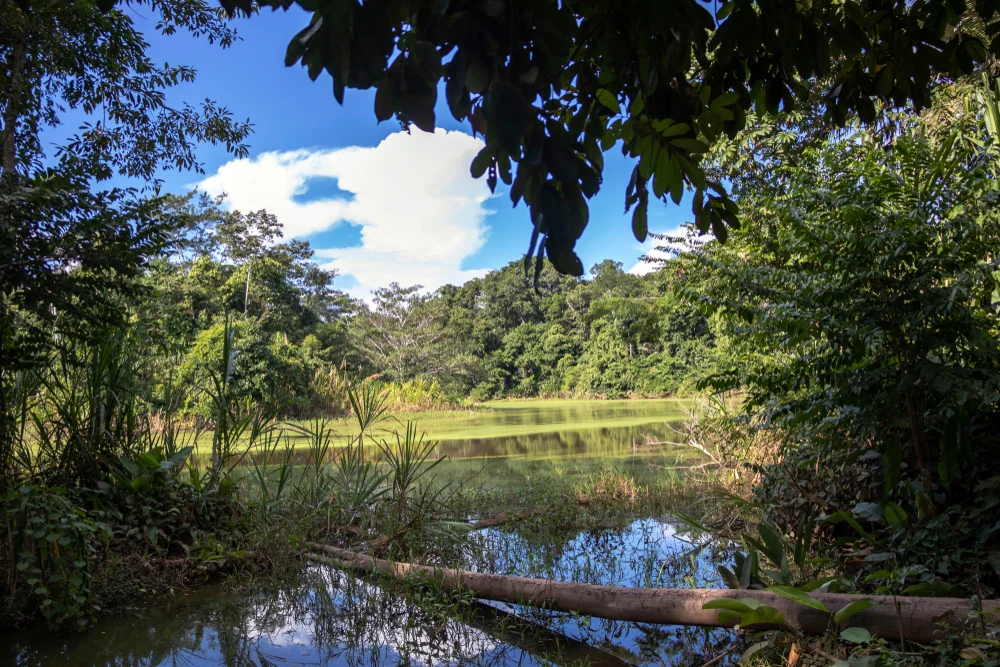
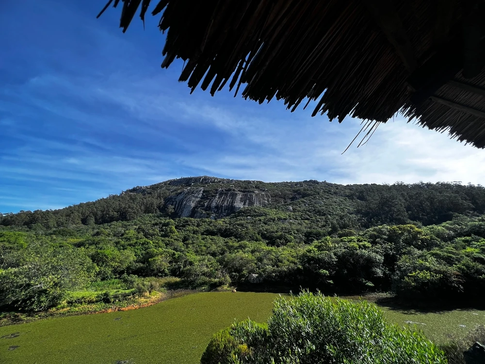
This lesser-known gem of Sri Lanka is characterized by its dynamic floodplain ecosystem, which serves as a vital natural buffer for water regulation and a biodiversity hotspot. Its terrain includes expansive wetlands, meandering rivers, oxbow lakes, grasslands, and patches of dry-zone forest, creating a rich mosaic of landscapes that transform dramatically with seasonal flooding.
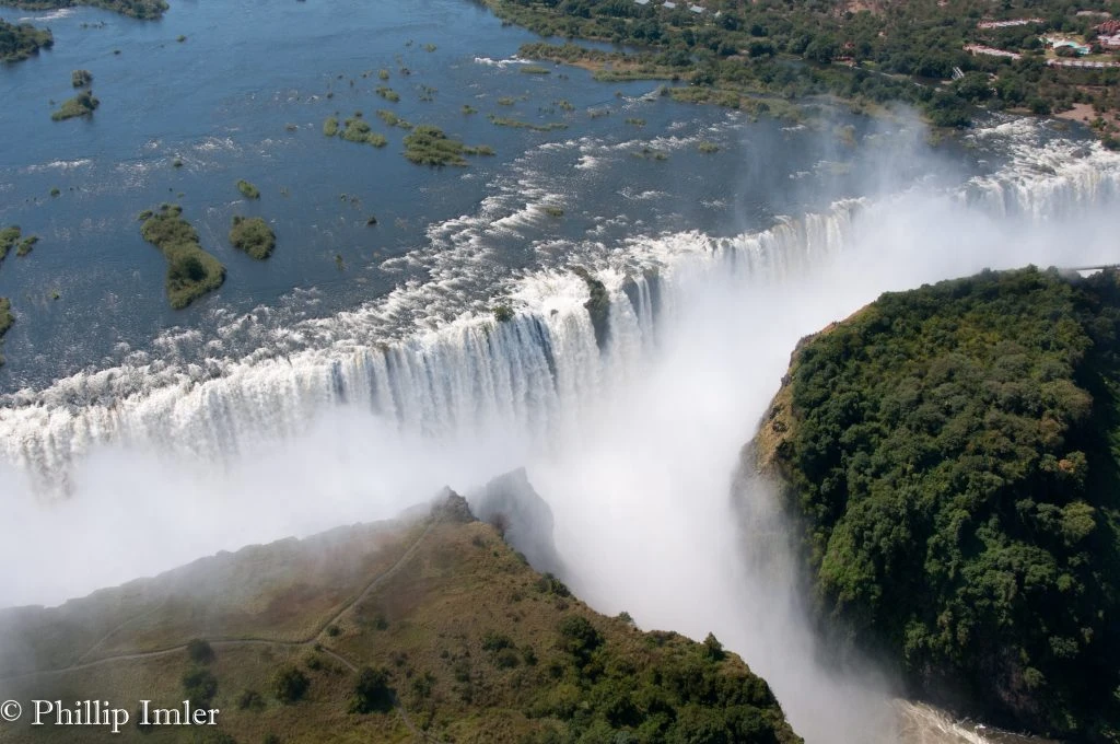
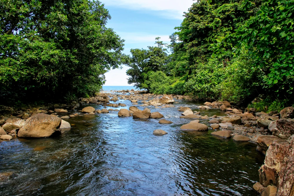
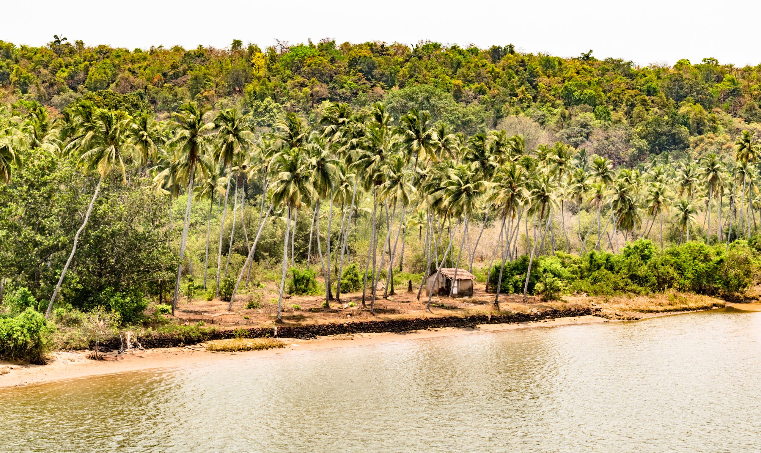
The park’s primary geographical feature is the Mahaweli River, Sri Lanka’s longest river, which flows through the park and provides life-sustaining water to its ecosystems. The seasonal flooding replenishes the floodplains and creates fertile ground for vegetation, making the park a crucial grazing and breeding ground for wildlife. Dense riparian forests line the riverbanks, while lush grasslands dominate the plains, supporting a wide variety of plant and animal life.
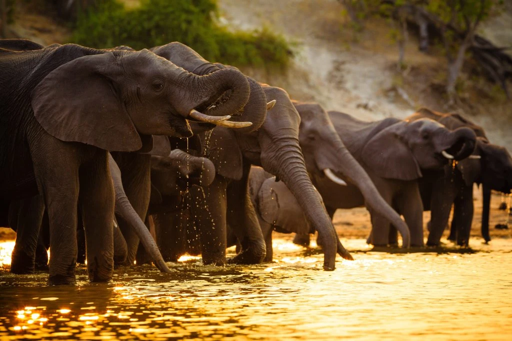
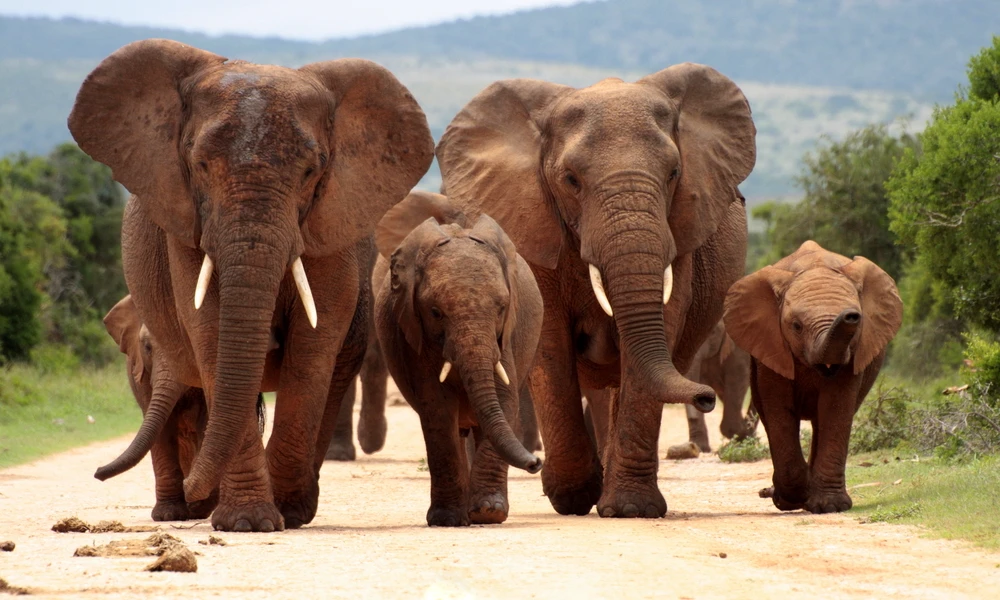
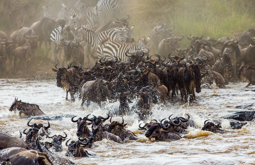
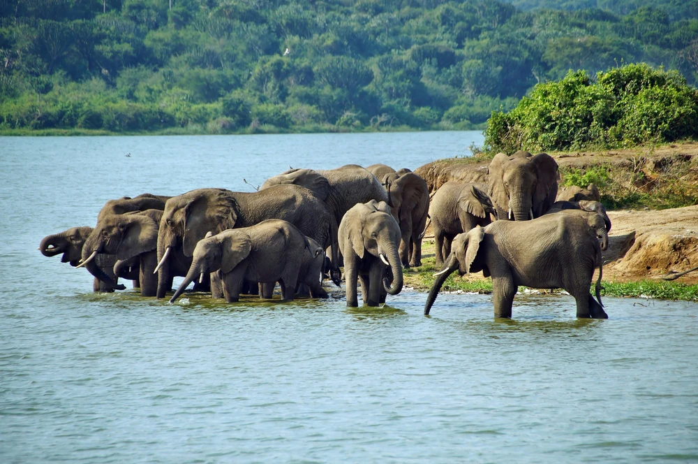
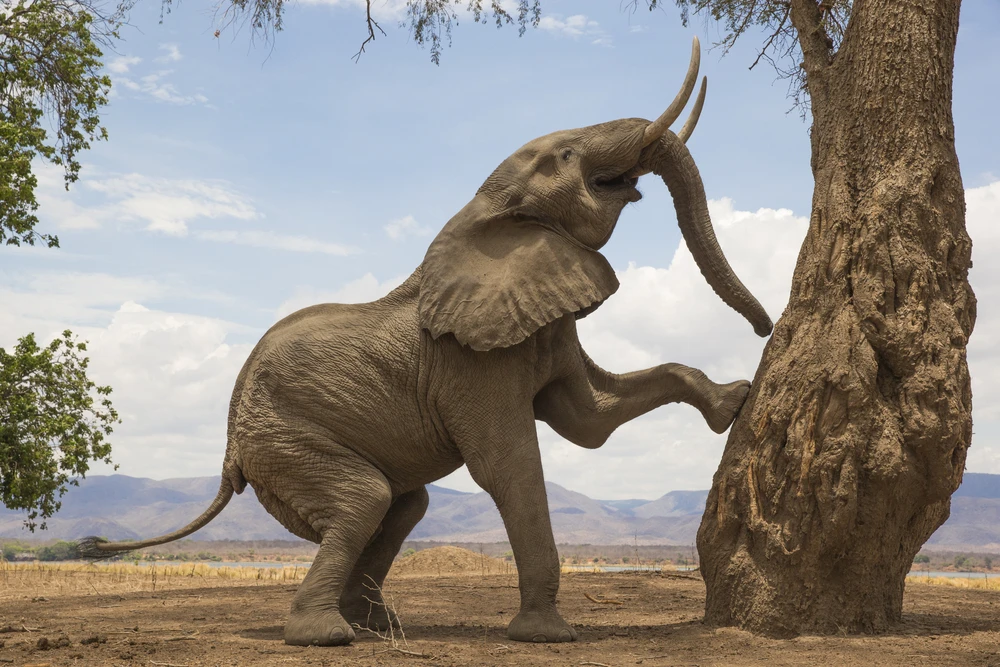
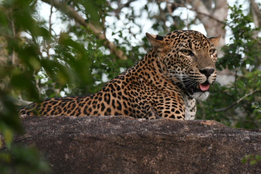
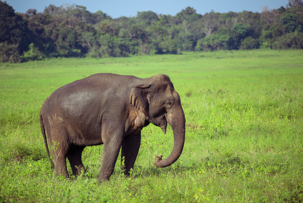
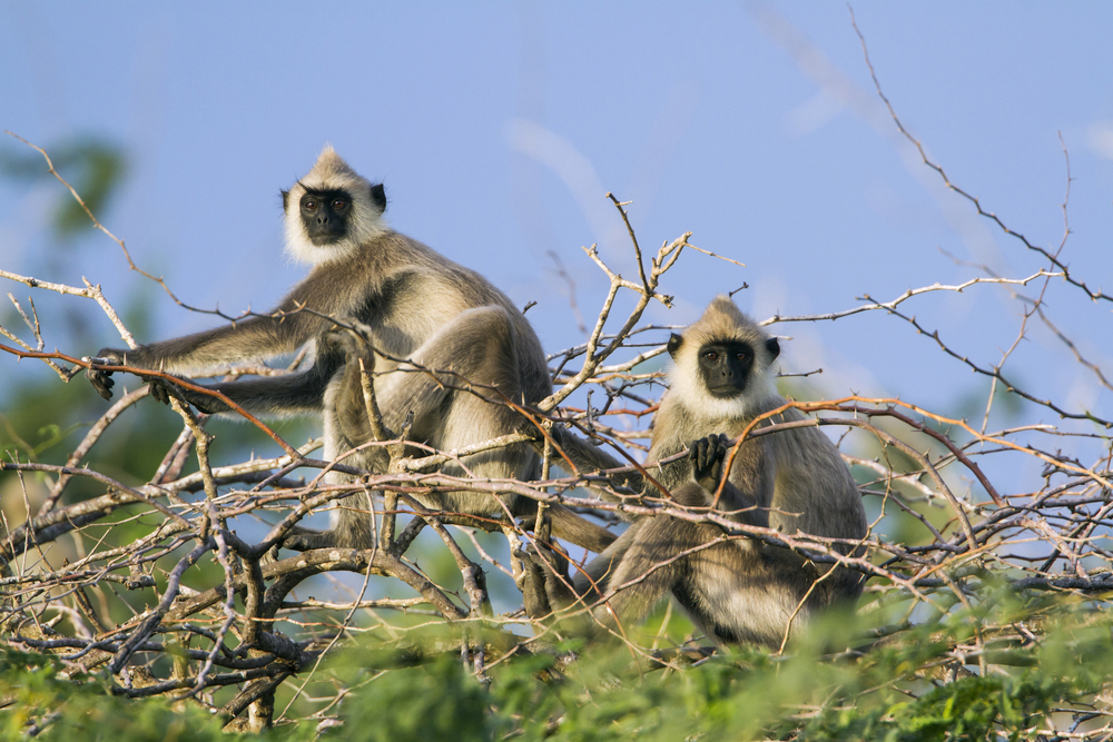
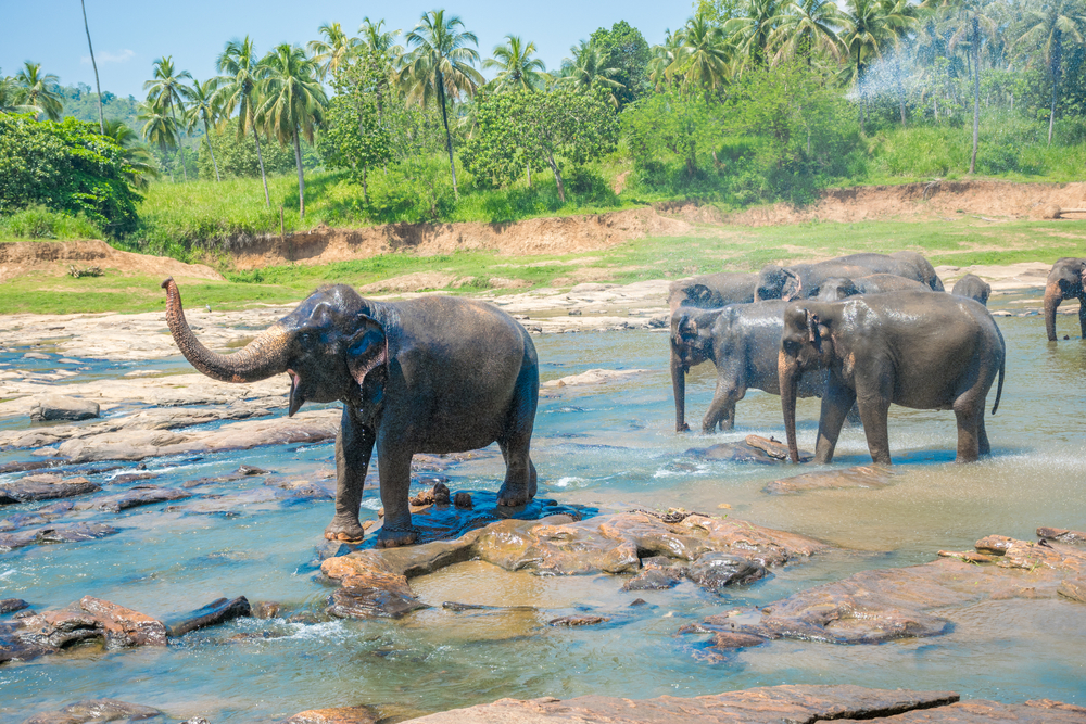
Flood Plains National Park is home to an array of wildlife that thrives in its diverse habitats. Key mammal species include elephants, sambar deer, and water buffalo, which are frequently seen grazing in the open grasslands or bathing in water bodies. Smaller mammals such as fishing cats, otters, and mongoose also inhabit the park, taking advantage of the water-rich environment.
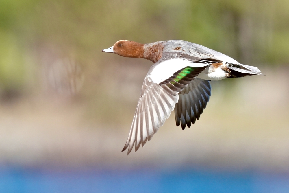
Birdwatching is particularly rewarding here, as the park is a haven for over 150 bird species. Iconic avian inhabitants include painted storks, black-headed ibises, and grey herons, while migratory birds such as Eurasian spoonbills and waders add to the diversity during certain seasons.
Visitors are often captivated by the tranquility and natural beauty of the park, with its serene waterways and vibrant wildlife activity. Popular features include the wetlands and lagoons that attract both resident and migratory bird species, offering unparalleled opportunities for birdwatching and photography. The park is also a critical link in the Mahaweli River corridor, connecting other nearby national parks such as Wasgamuwa and Minneriya, enhancing its ecological importance as a wildlife migration route.
The primary ways to experience Flood Plains National Park include guided safaris, which allow visitors to explore its diverse habitats and observe wildlife in their natural surroundings. Canoeing along the river is another unique way to enjoy the park, offering a quiet and immersive perspective on its aquatic ecosystems. Educational tours highlighting the park’s ecological role in water management and biodiversity conservation are also available, making it a meaningful destination for nature lovers and researchers.
The park faces conservation challenges, including habitat loss due to agricultural expansion, human-wildlife conflict, and illegal activities such as poaching. However, concerted efforts by Sri Lanka’s Department of Wildlife Conservation and local communities have yielded successes, such as habitat restoration projects and awareness programs that promote sustainable coexistence. These initiatives ensure that Flood Plains National Park continues to play a vital role in Sri Lanka’s ecological landscape.

