


Shiretoko Overview
Shiretoko National Park, located on the northeastern tip of Hokkaido, Japan, is a pristine natural reserve that exemplifies the untouched beauty of the wild. Spanning approximately 386 square kilometers (about 149 square miles), the park was established in 1964 and later recognized as a UNESCO World Heritage Site in 2005 for its outstanding value in biodiversity and unique ecosystem. The name “Shiretoko” is derived from the Ainu language, meaning “the end of the earth,” aptly describing the park’s remote and unspoiled landscape.
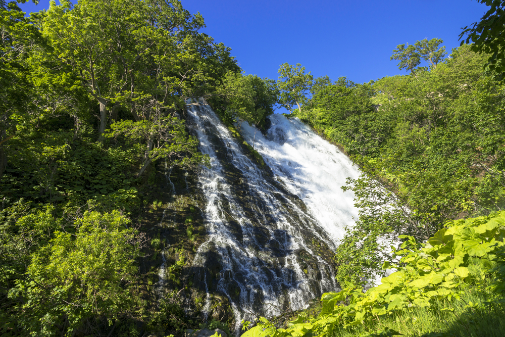
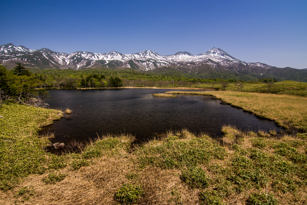
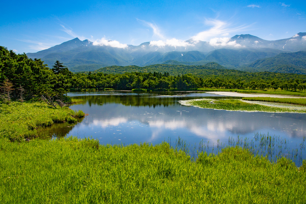
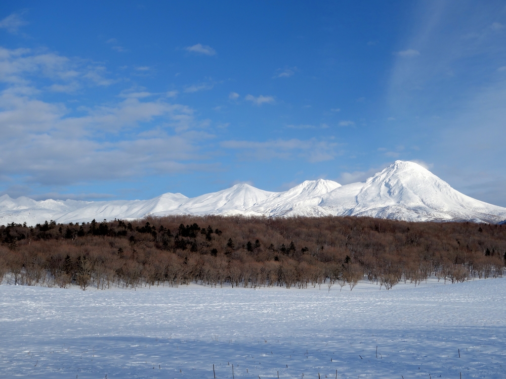
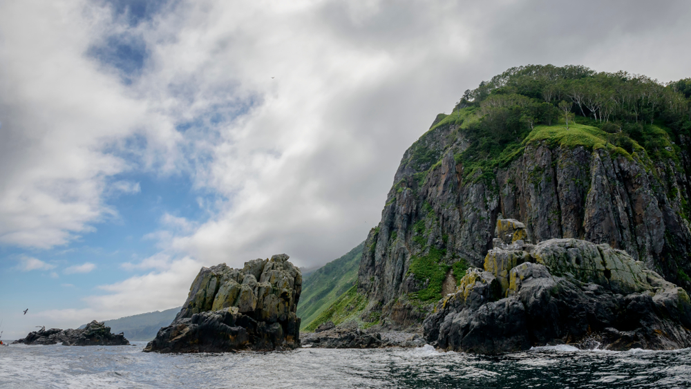
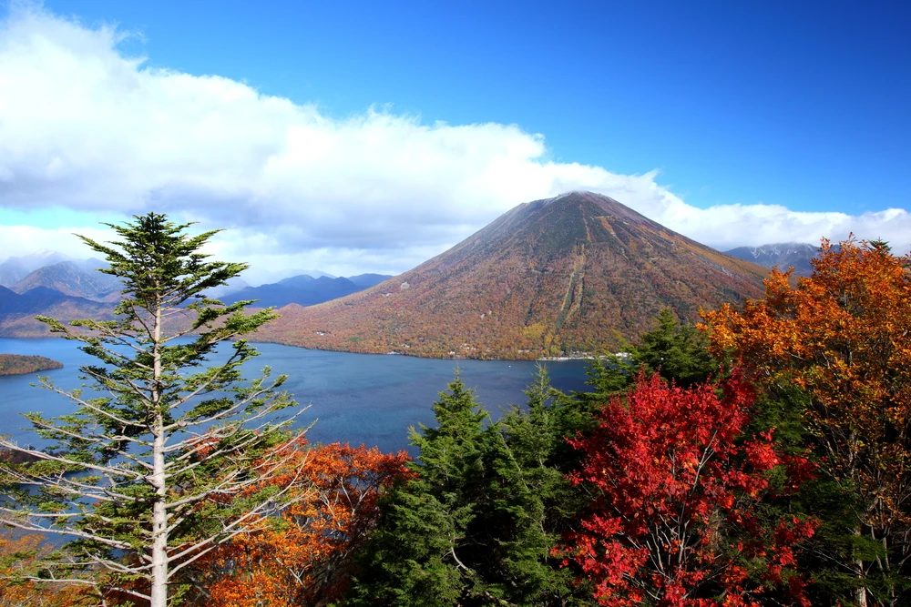
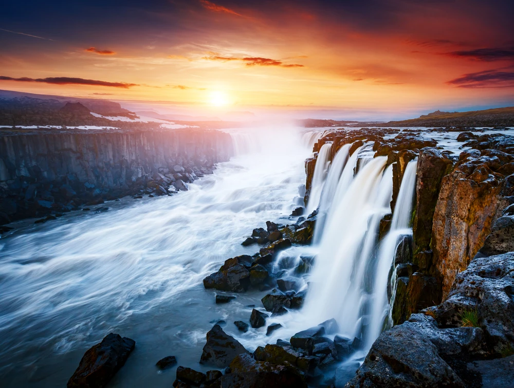
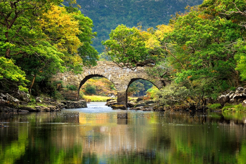
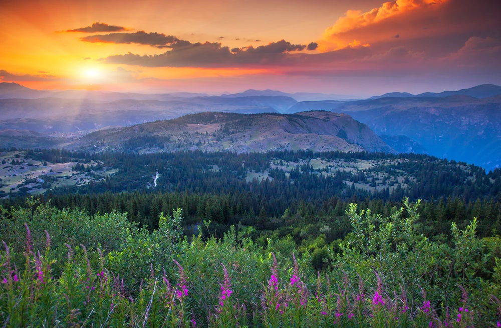
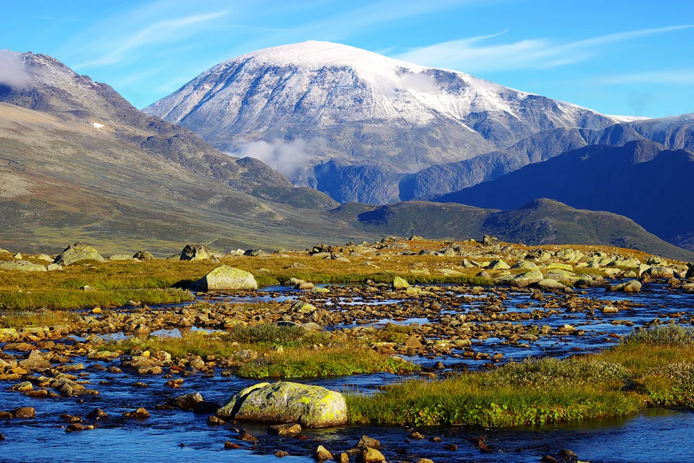
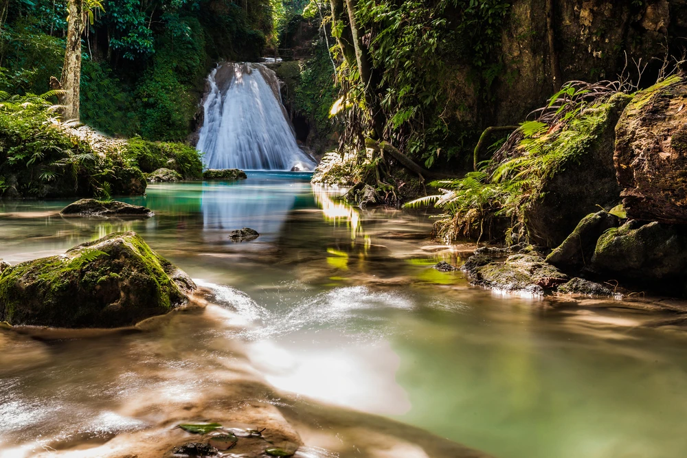
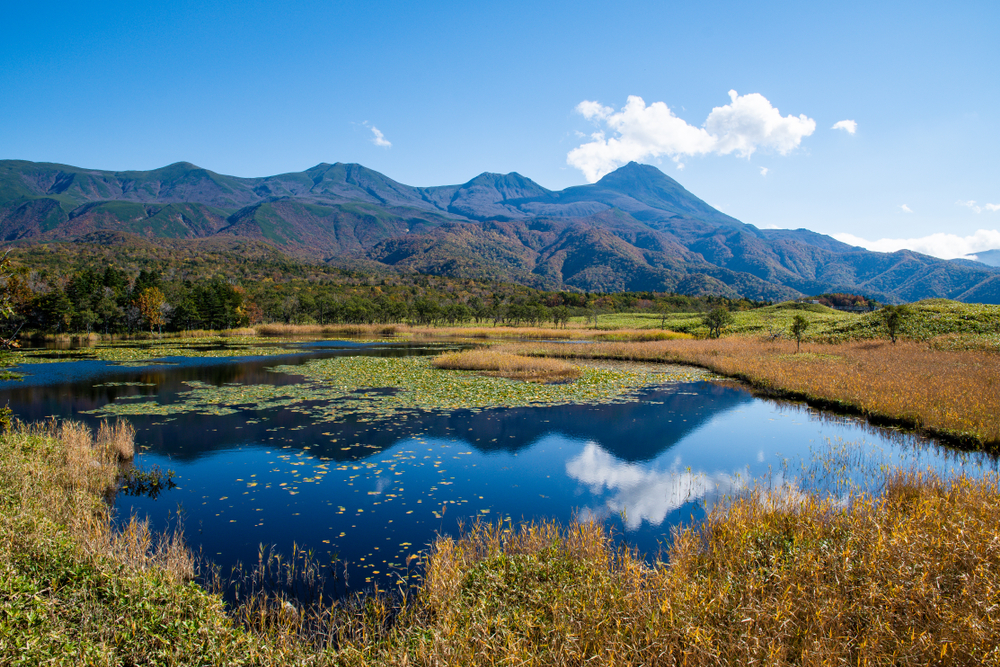
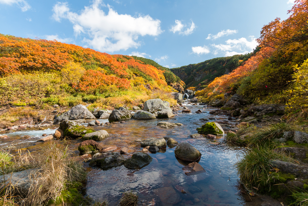
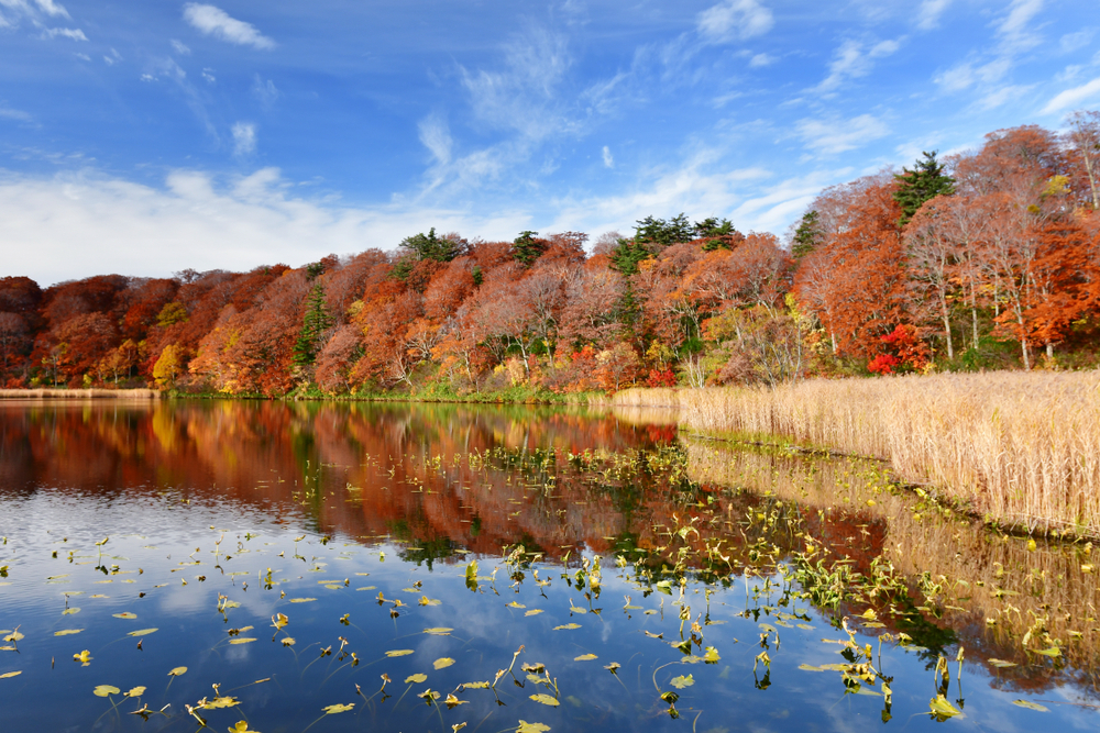
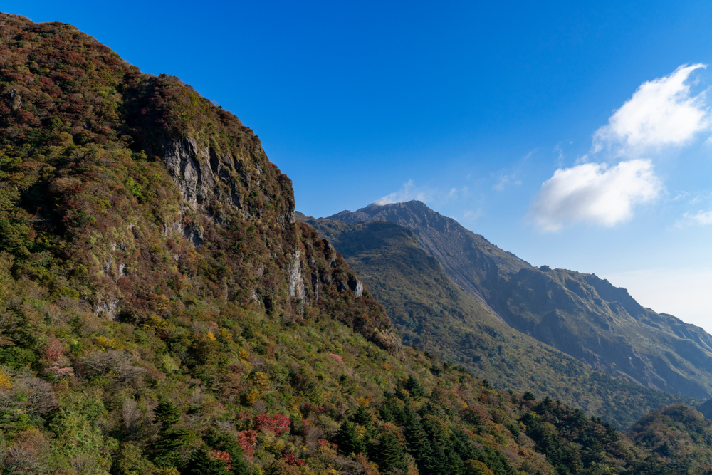
Shiretoko is renowned for its dramatic scenery, which includes rugged mountains, cascading waterfalls, and vast forests that stretch down to the coastline, meeting the Sea of Okhotsk. The park’s geographical isolation and harsh climatic conditions have preserved its unique ecosystems, which support a diverse range of flora and fauna. Shiretoko is particularly noted for its rich marine life, including the presence of sea ice in the winter, which provides a habitat for unique species such as the Clione limacina, or “sea angel,” and serves as a feeding ground for the Steller’s sea eagle and the white-tailed eagle.
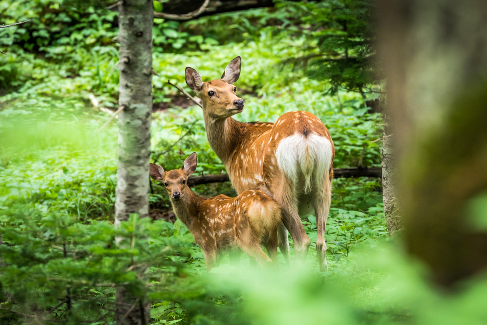
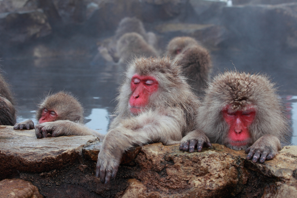
The terrestrial environment of Shiretoko National Park is equally impressive, home to brown bears, deer, and foxes, among other wildlife. The park’s ecosystems are so diverse that they encompass both sub-alpine and marine zones, offering a rare glimpse into the coexistence of different habitats.
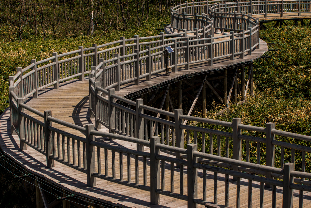
Shiretoko National Park offers visitors a variety of ways to explore its natural beauty, from hiking trails that wind through its dense forests and along its rugged coastline to boat tours that provide views of waterfalls and wildlife from the sea. Winter activities include ice walking and drift ice sightseeing, unique experiences that highlight the park’s distinctive seasonal dynamics.
Shiretoko National Park stands as a testament to the importance of preserving natural landscapes and biodiversity. It offers a sanctuary where nature thrives, largely untouched by human influence, providing a tranquil retreat for those seeking to connect with the natural world.

Park Map
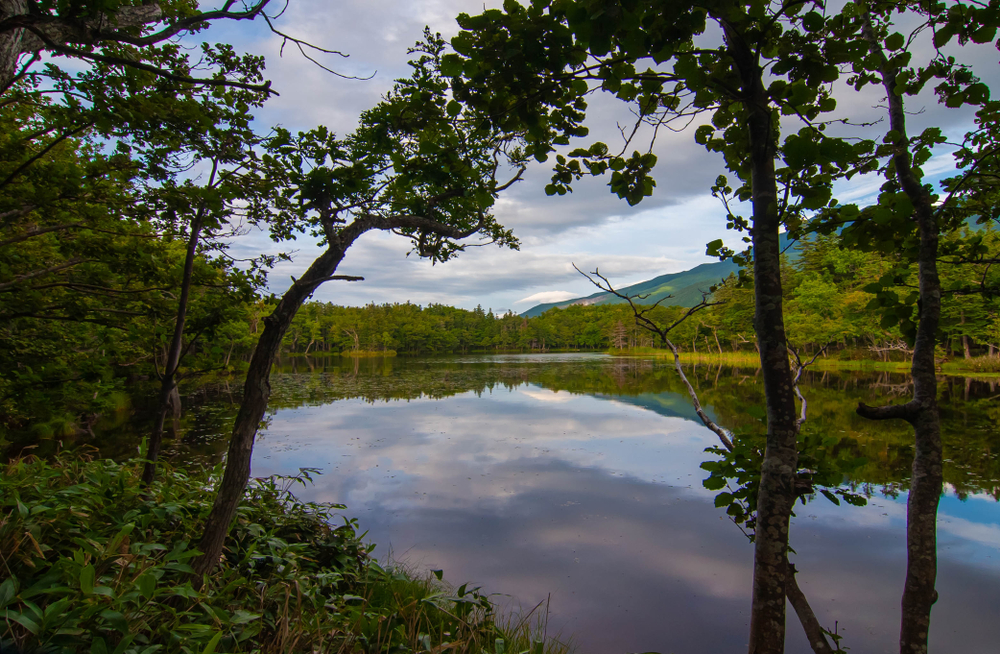
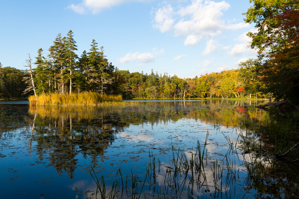
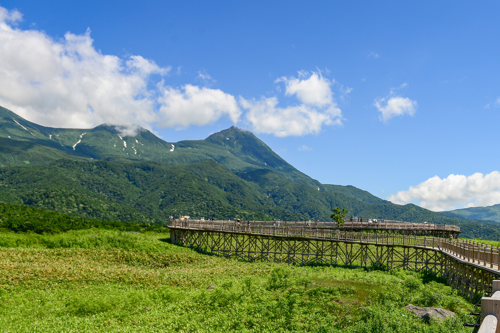
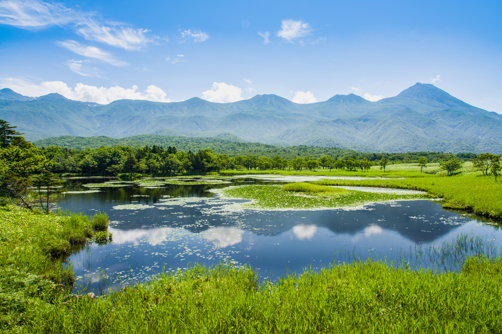
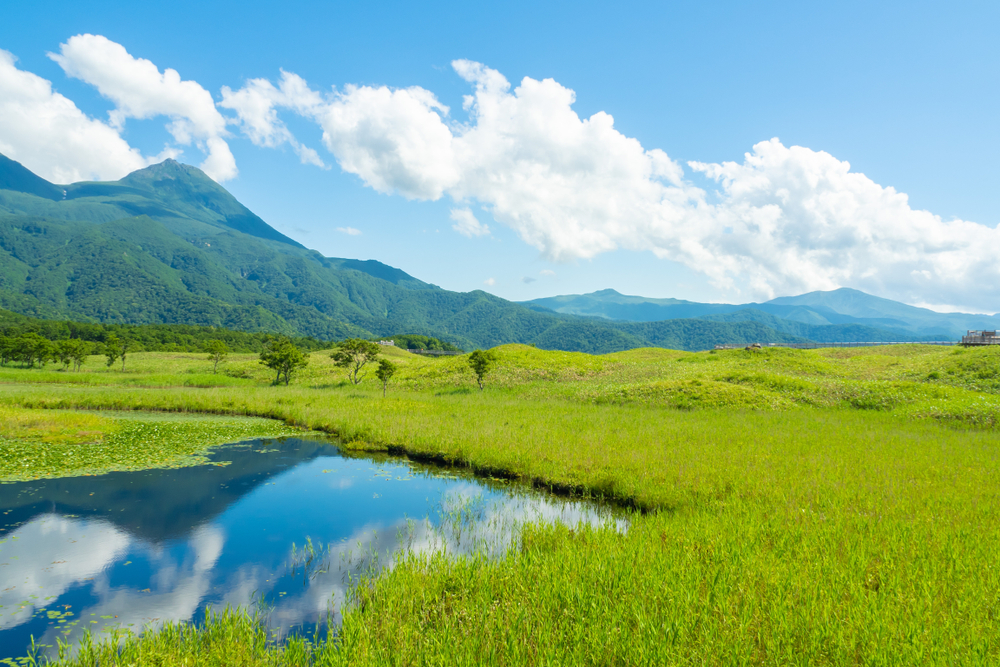
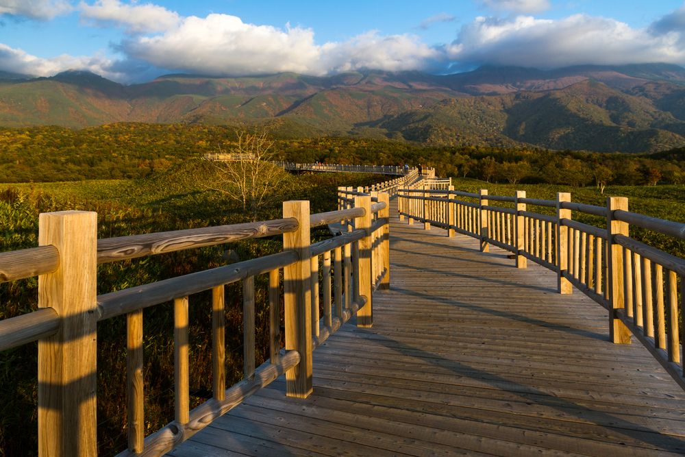
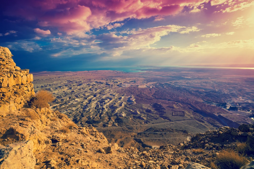
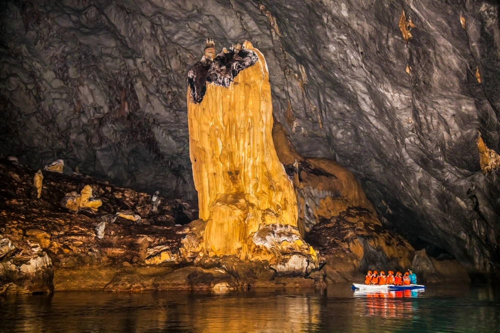
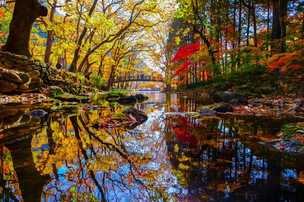
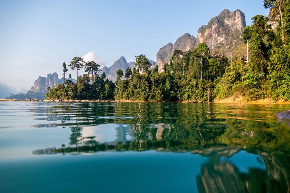
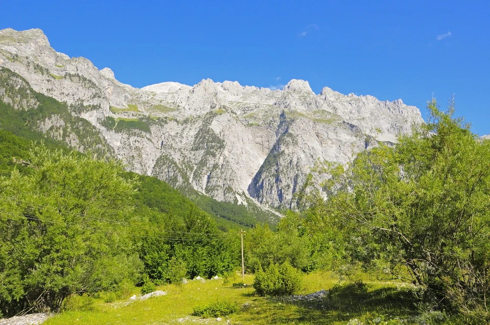
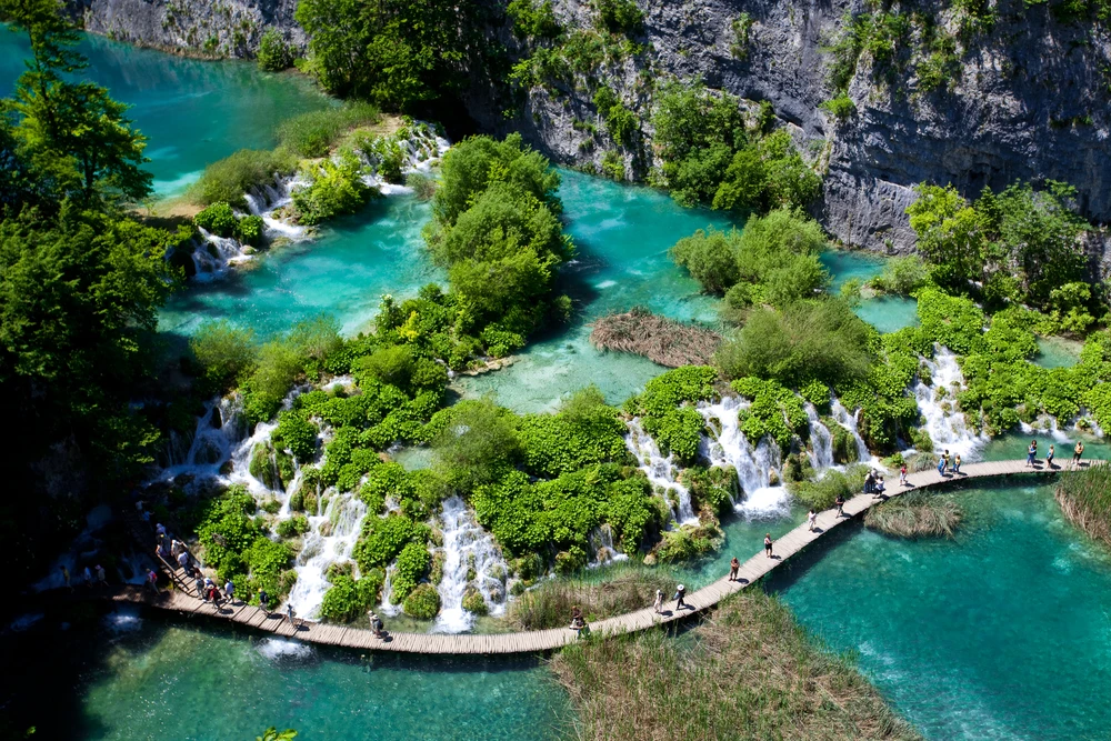
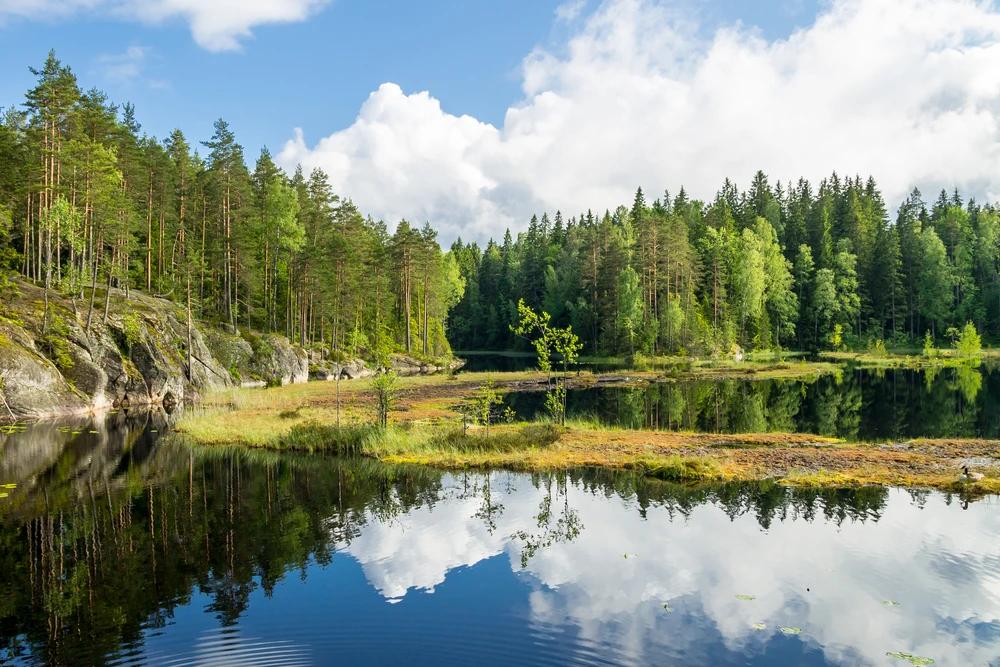
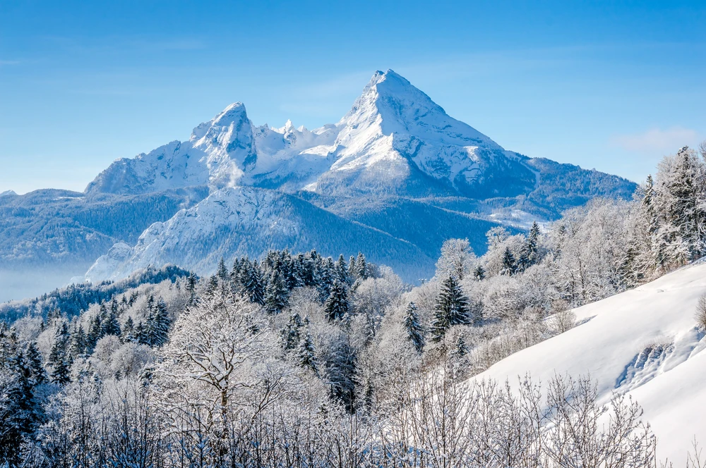
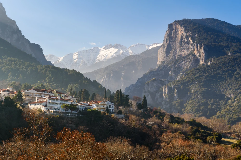
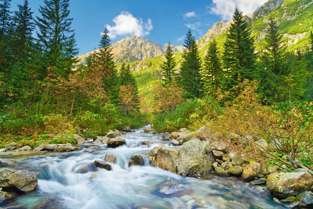
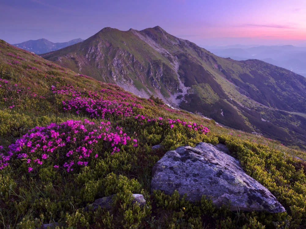
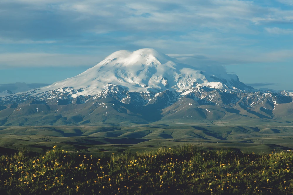
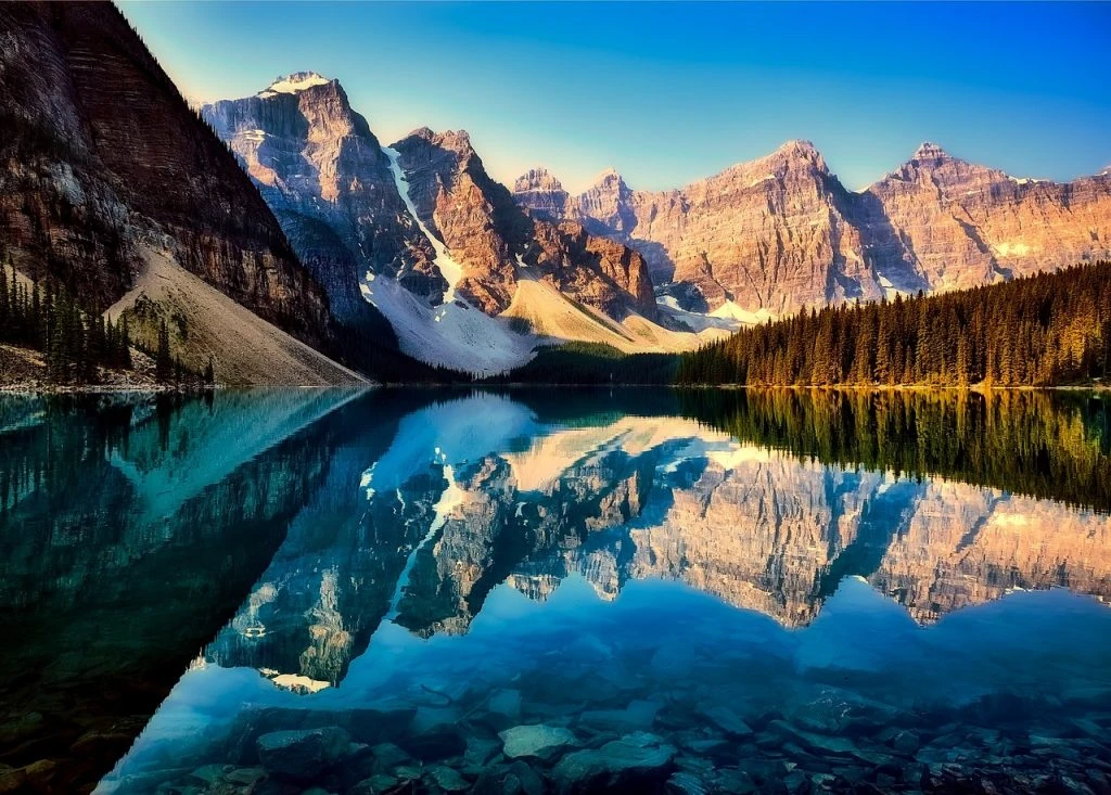
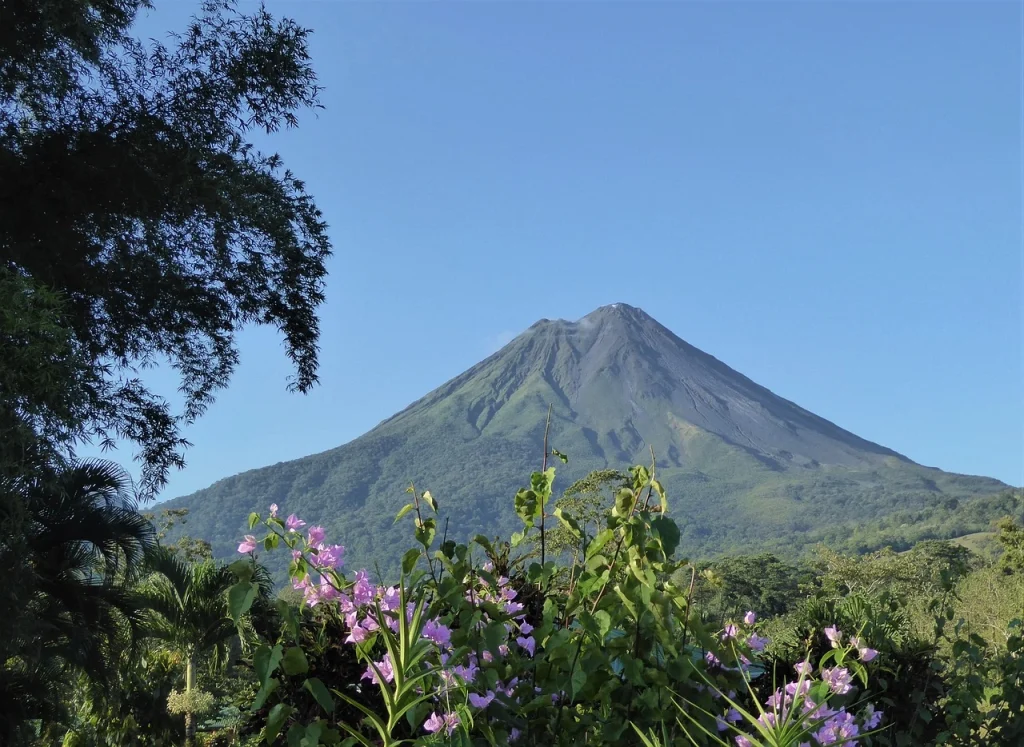
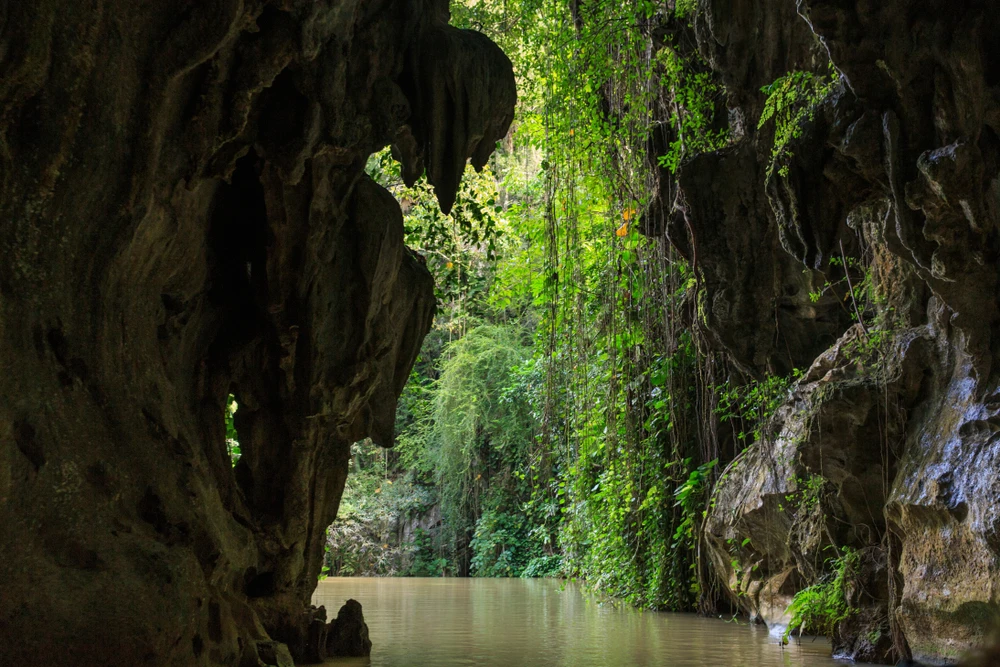
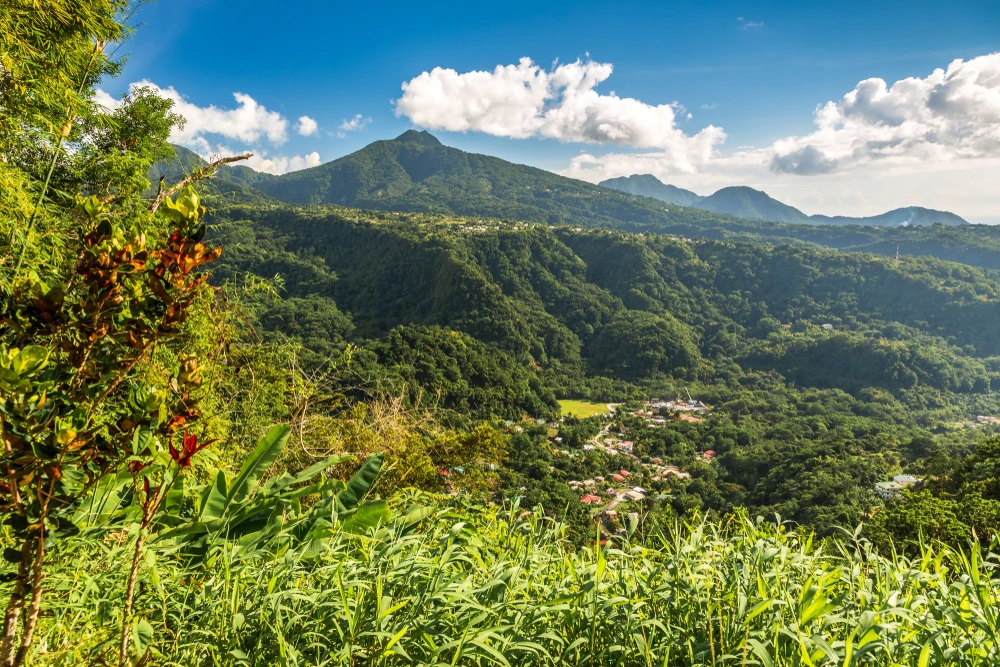
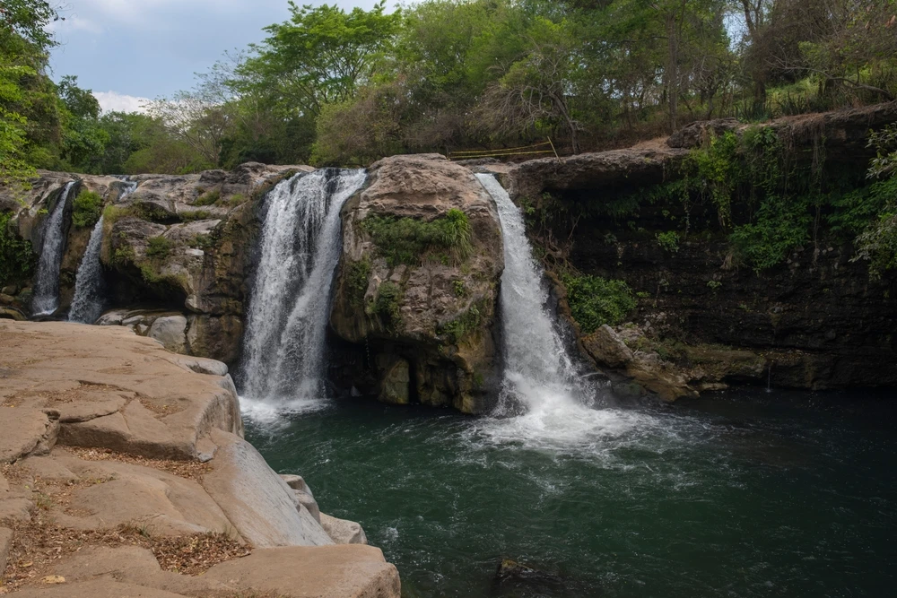
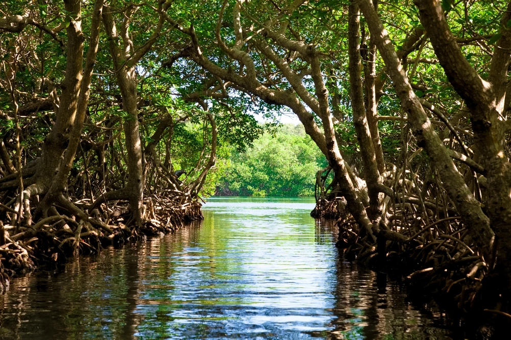
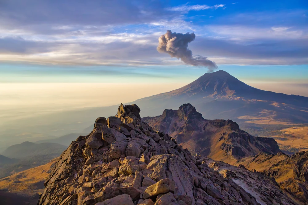
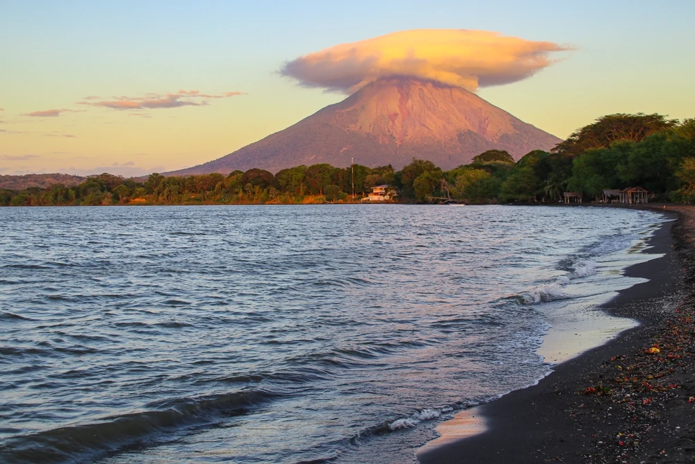
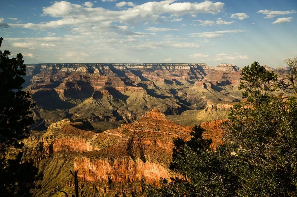
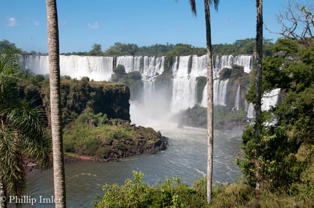
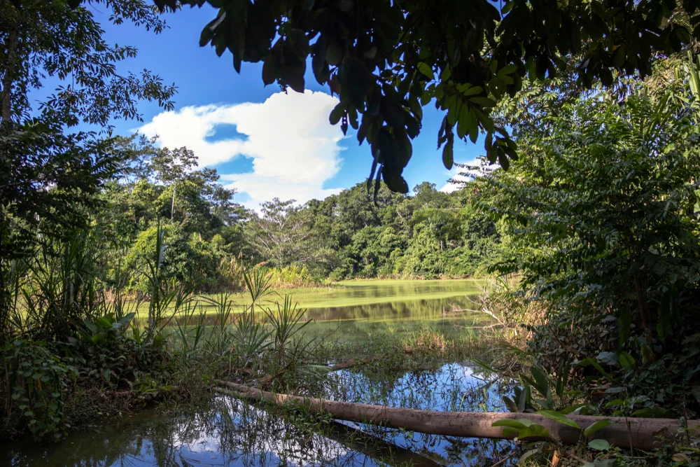
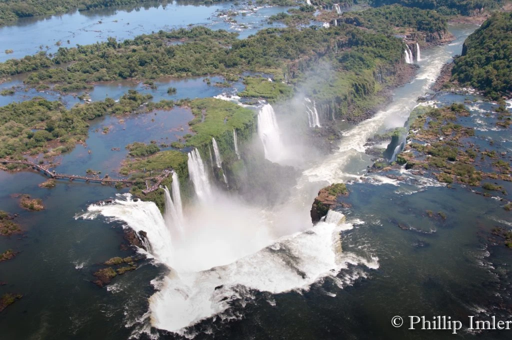
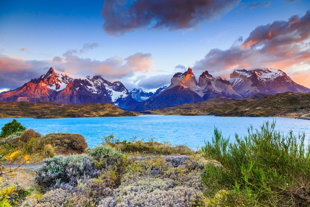
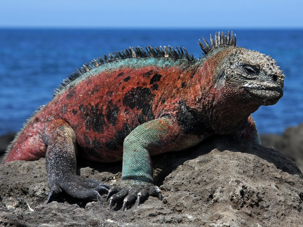
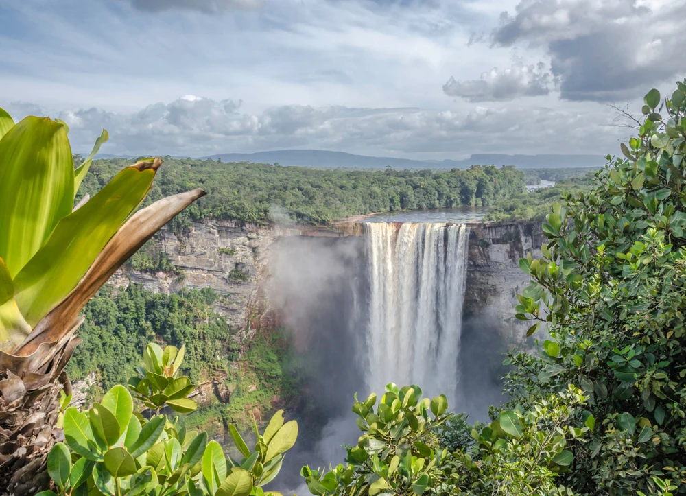
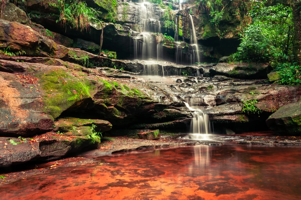
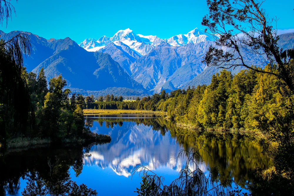
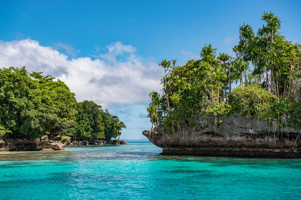
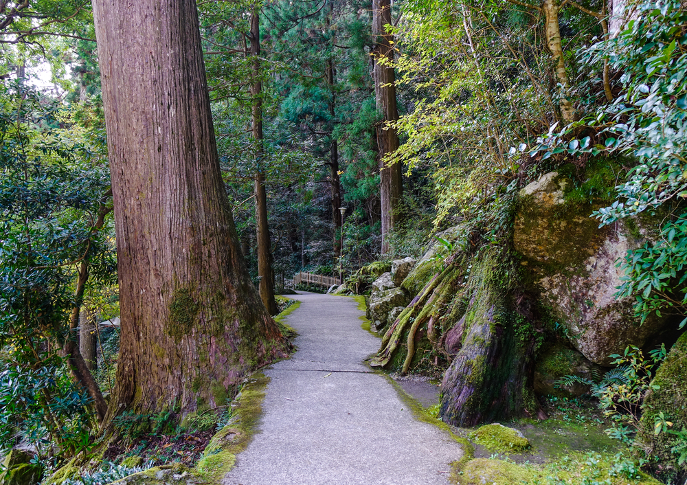
Shiretoko National Park Pictures
Shiretoko National Park Trails

Sources
- Japan Guide, Shiretoko, https://www.japan-guide.com/e/e6850.html, retrieved December April 2024.
- Japan Talk, Shiretoko, https://www.japan-talk.com/jt/new/shiretoko-national-park, retrieved April 2024.
- JNTO, Shiretoko National Park, https://www.japan.travel/en/spot/1851/, retrieved April 2024.
- Ministry of the Environment, Shiretoko National Park, https://www.env.go.jp/en/nature/nps/park/shiretoko/index.html, retrieved April 2024.
- Rough Guides, Hiking in the Shiretoko National Park, https://www.roughguides.com/destinations/asia/japan/hokkaido/eastern-hokkaido/shiretoko-national-park/hiking-shiretoko-national-park/, retrieved April 2024.
- UNESCO, Shiretoko, https://whc.unesco.org/en/list/1193/, retrieved April 2024.