
Yoho Overview
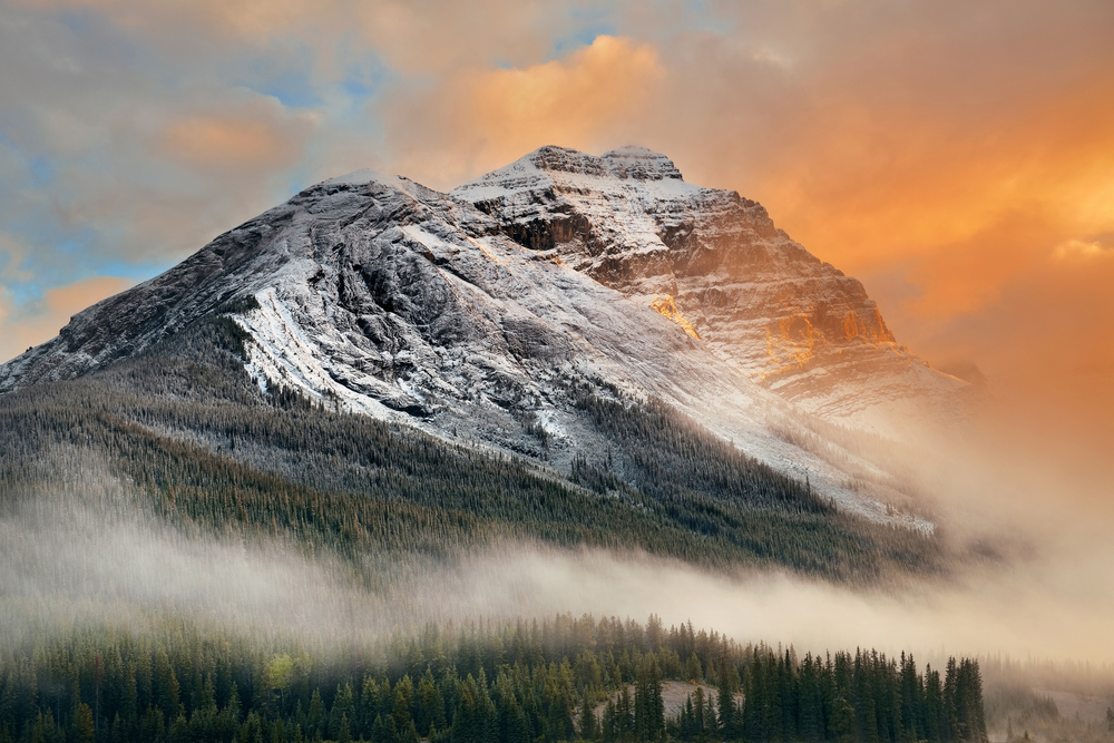
Yoho National Park, nestled on the western slopes of the Canadian Rocky Mountains in British Columbia, Canada, is a place of awe and wonder, as its Cree name “Yoho” suggests. Established in 1886, the park spans an area of approximately 1,313 square kilometers (about 507 square miles), making it the smallest of the four contiguous national parks that make up the Canadian Rocky Mountain Parks World Heritage Site. Despite its size, Yoho packs a punch with its breathtaking landscapes, diverse ecosystems, and rich geological history.
The park is a haven for geologists and nature lovers alike, boasting some of the most significant fossil finds in the world at the Burgess Shale, which provides insight into life on Earth over half a billion years ago. These fossil beds are recognized globally for their exceptional preservation and diversity, offering a window into the Cambrian explosion of life.
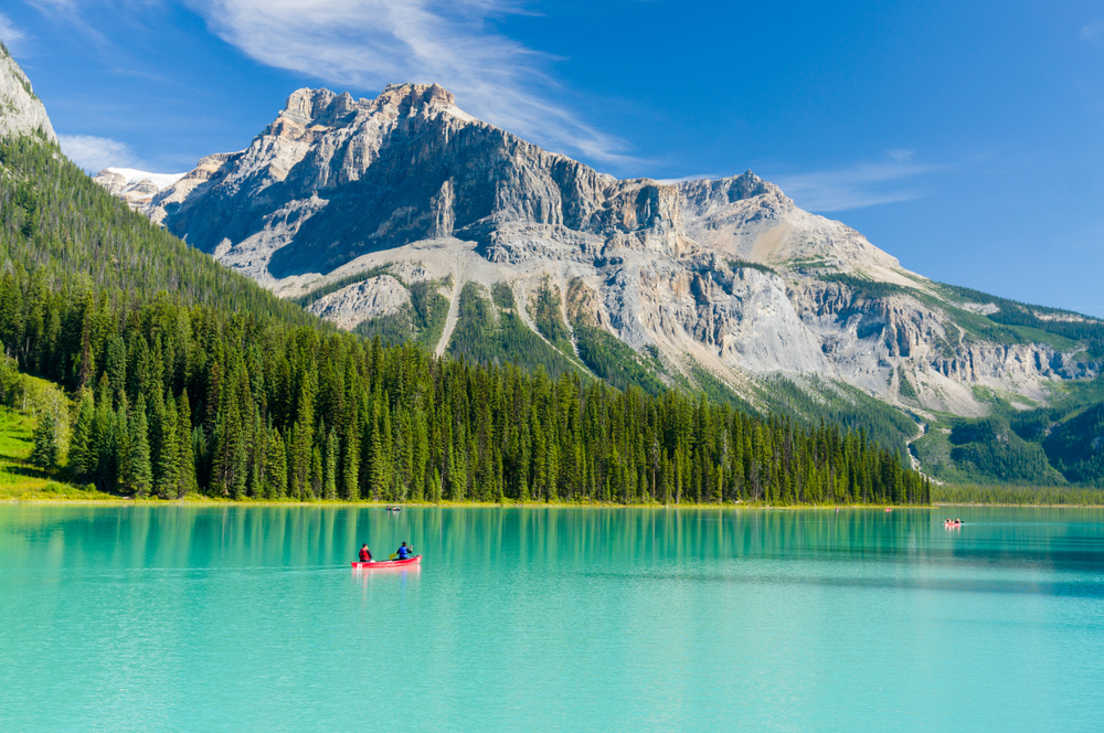
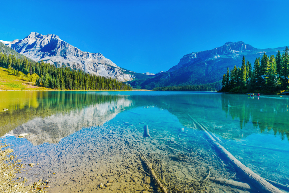
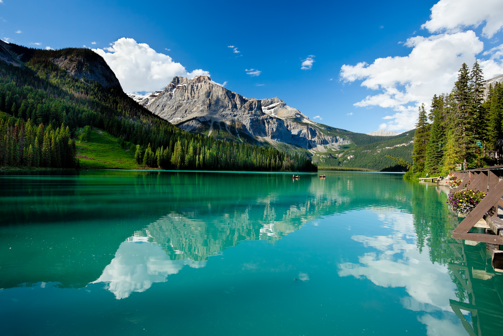
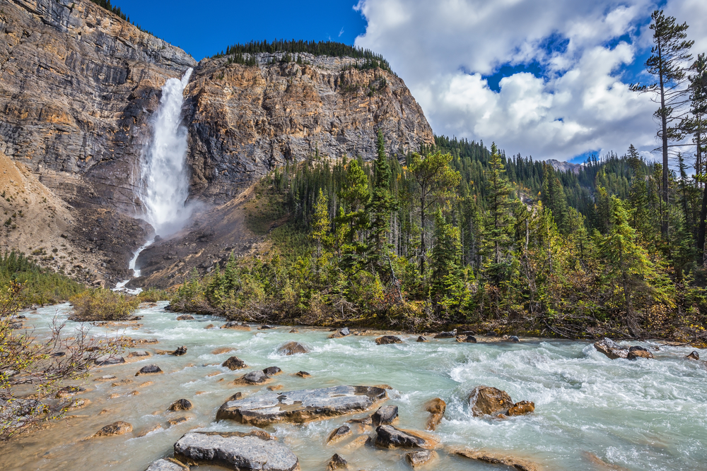
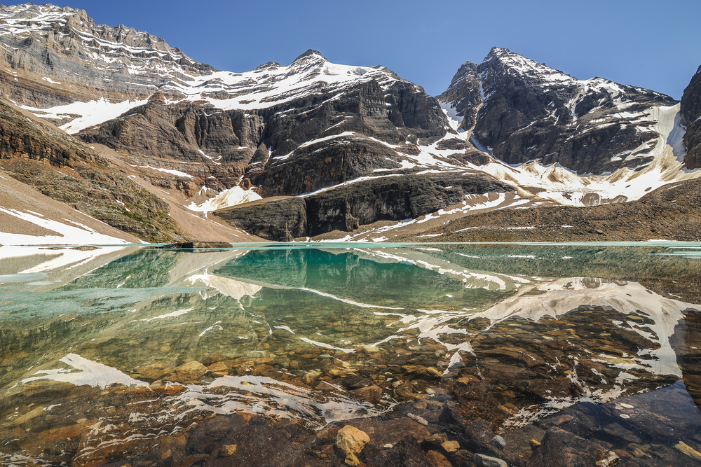
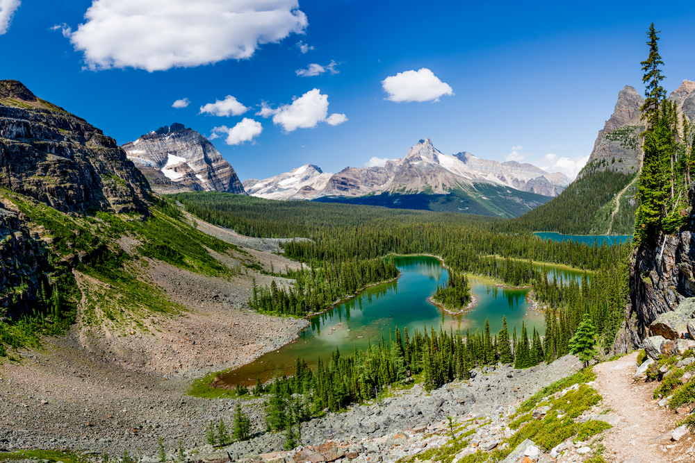
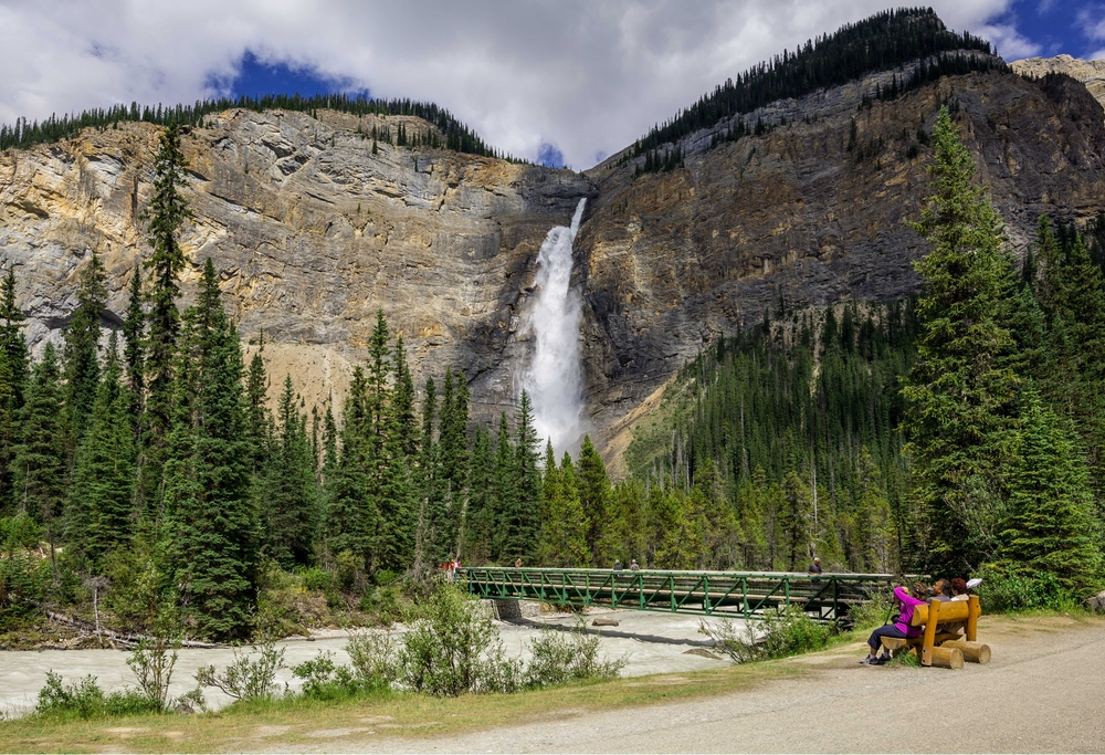
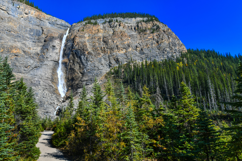
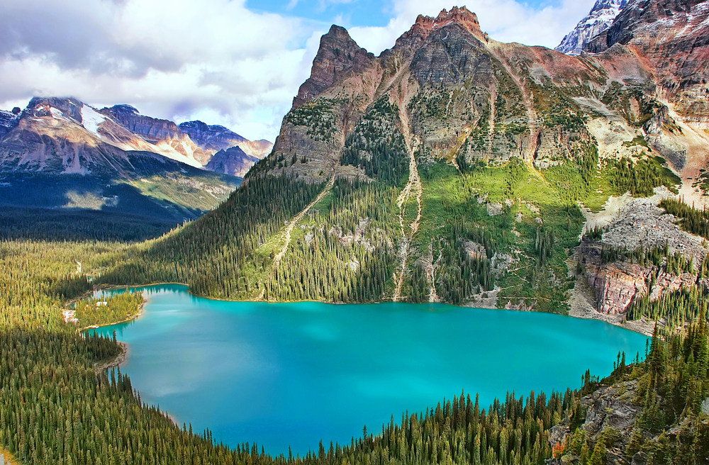
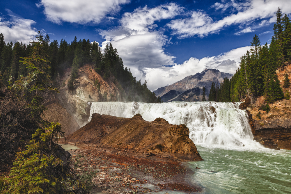
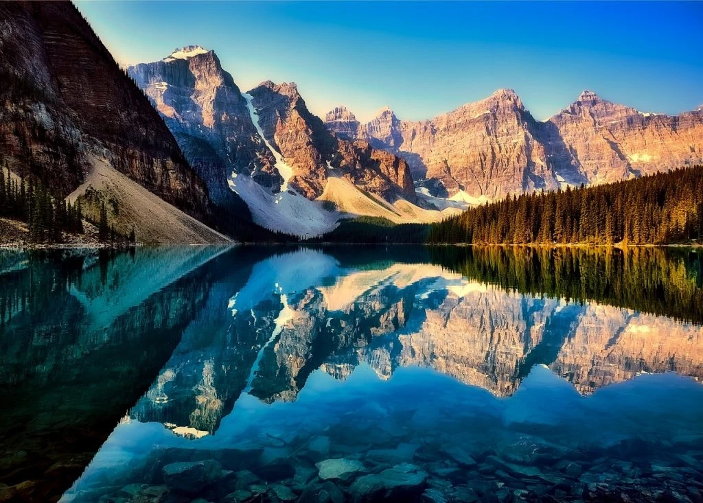
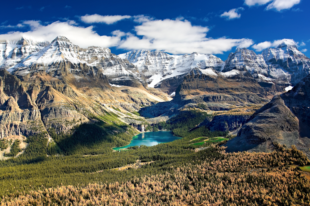
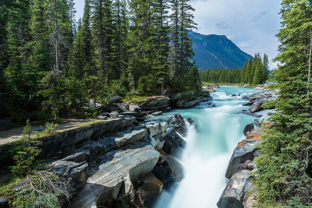
Yoho’s landscape is marked by towering waterfalls, including the spectacular Takakkaw Falls, one of Canada’s highest waterfalls. It also features pristine lakes like Emerald Lake, renowned for its vibrant turquoise waters, and Lake O’Hara, a hidden gem accessible only by foot or a restricted bus service, offering a serene escape into nature.
The park’s rugged terrain encompasses part of the Continental Divide, where water flows either to the Pacific or Atlantic Ocean. It’s also home to the Kicking Horse River, a popular spot for whitewater rafting. For hikers and climbers, Yoho offers an array of trails that traverse through subalpine and alpine landscapes, providing stunning views of glaciers, peaks, and valleys.
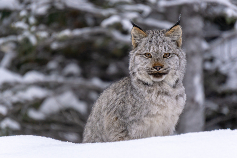
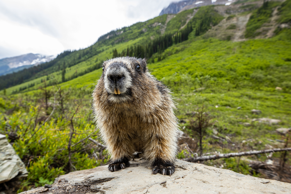
Yoho National Park’s diverse flora and fauna, dramatic scenery, and significant paleontological sites make it a place of global scientific interest and a paradise for outdoor enthusiasts. It stands as a testament to the natural beauty and geological heritage of the Canadian Rockies, inviting visitors to explore its wonders and discover the magic of the wilderness.

Park Map
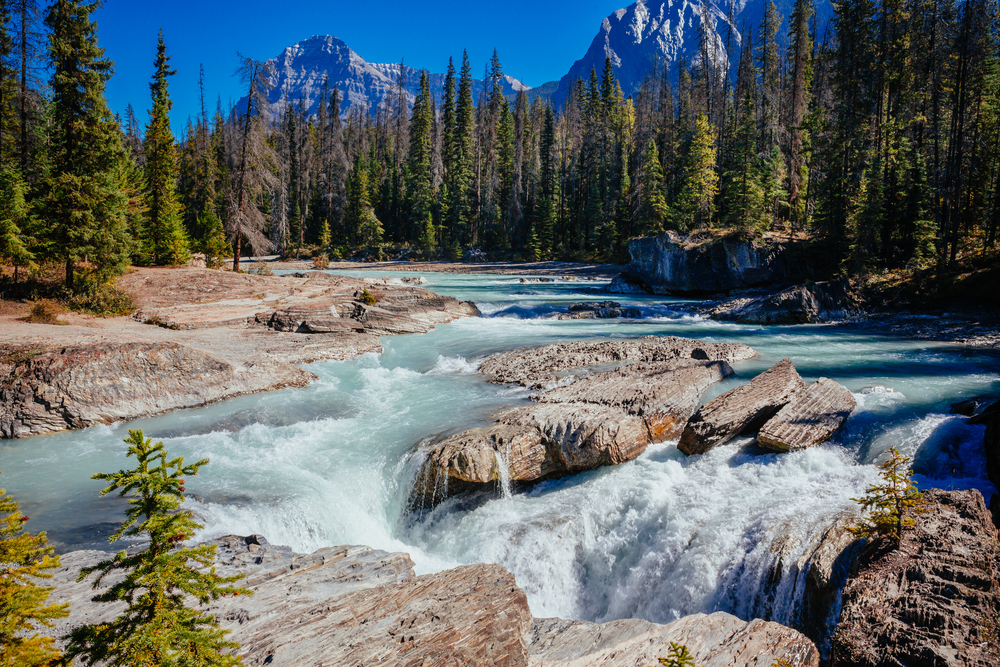
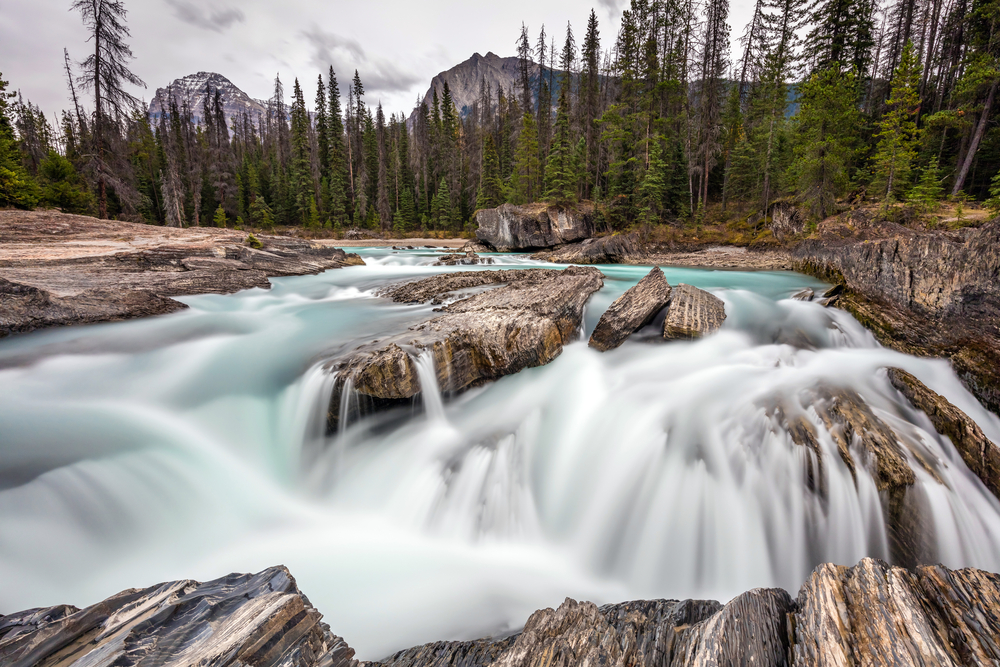
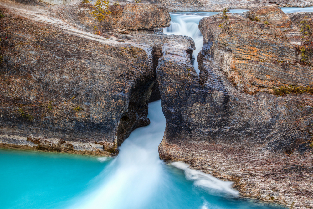
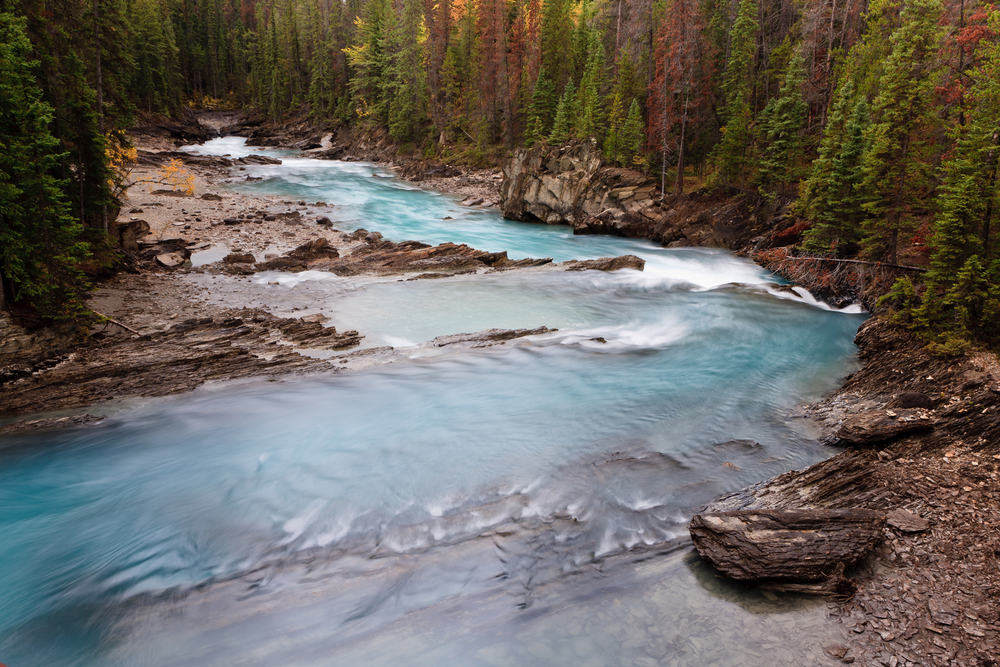
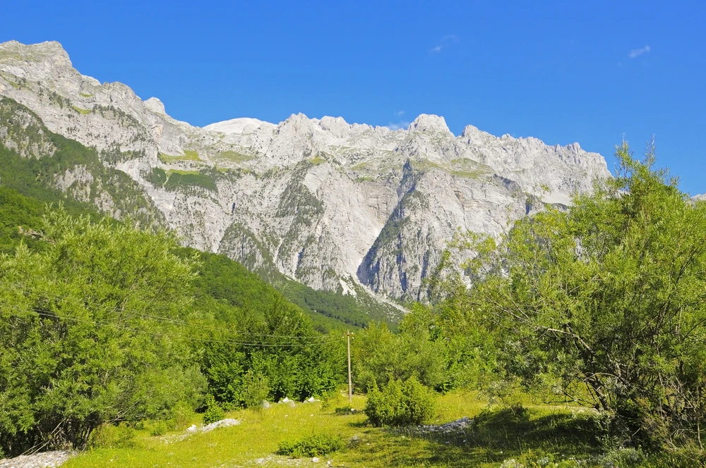
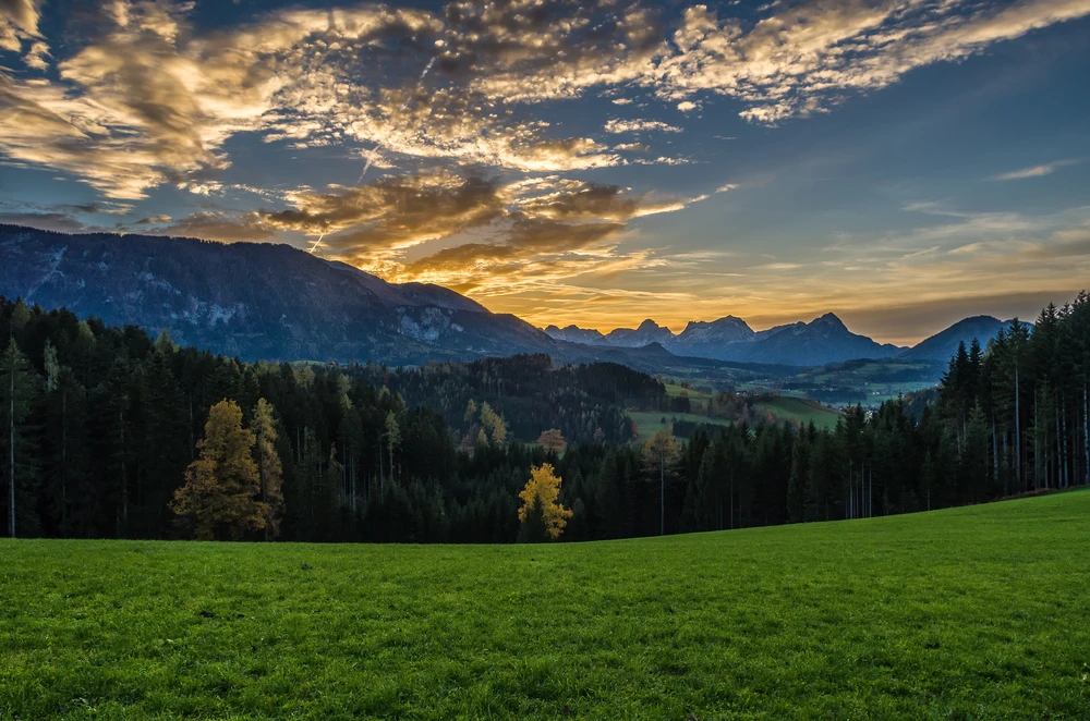
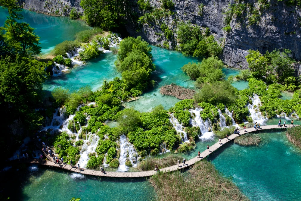
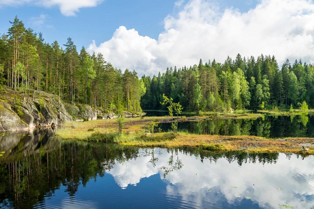
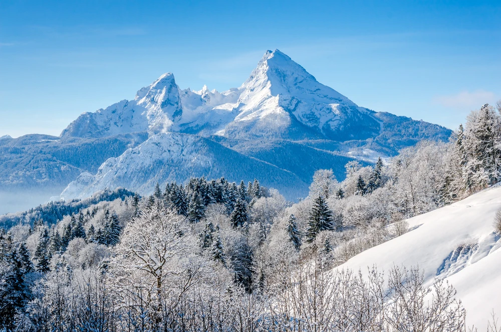
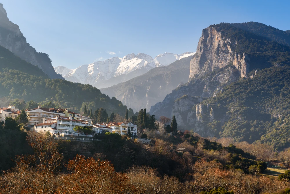
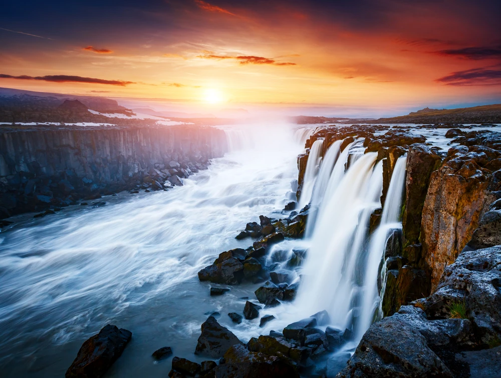
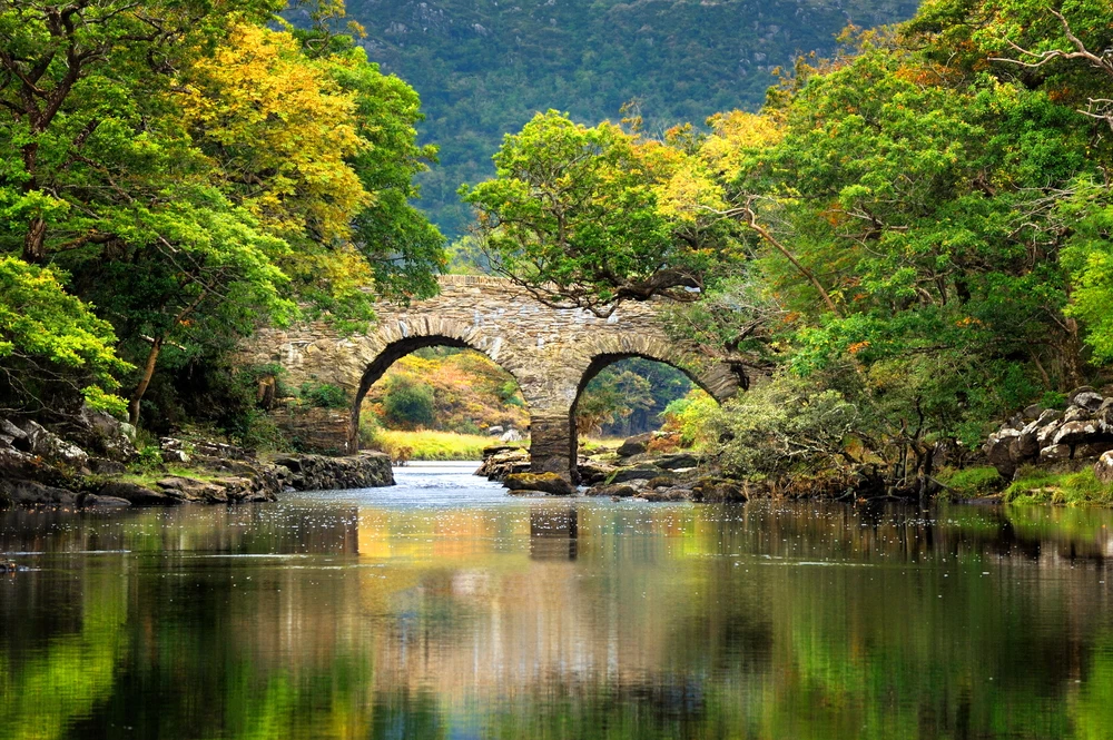
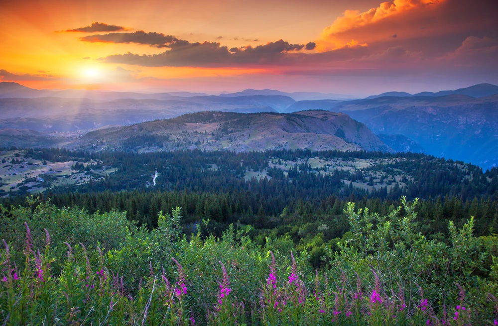
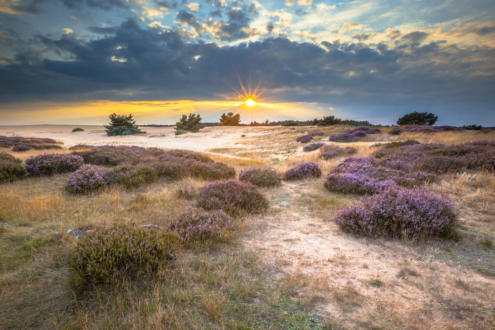
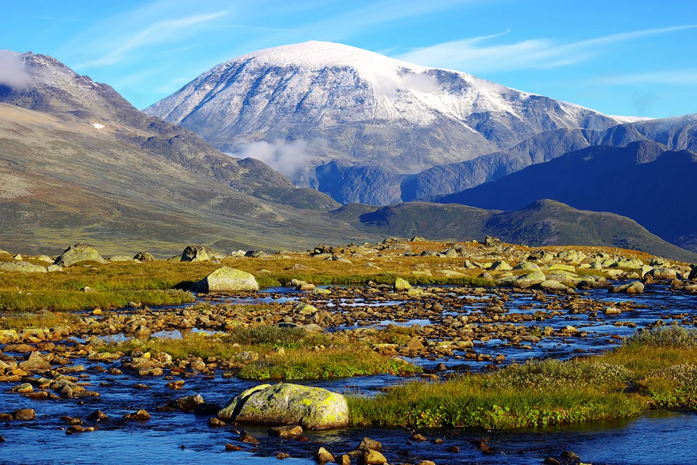
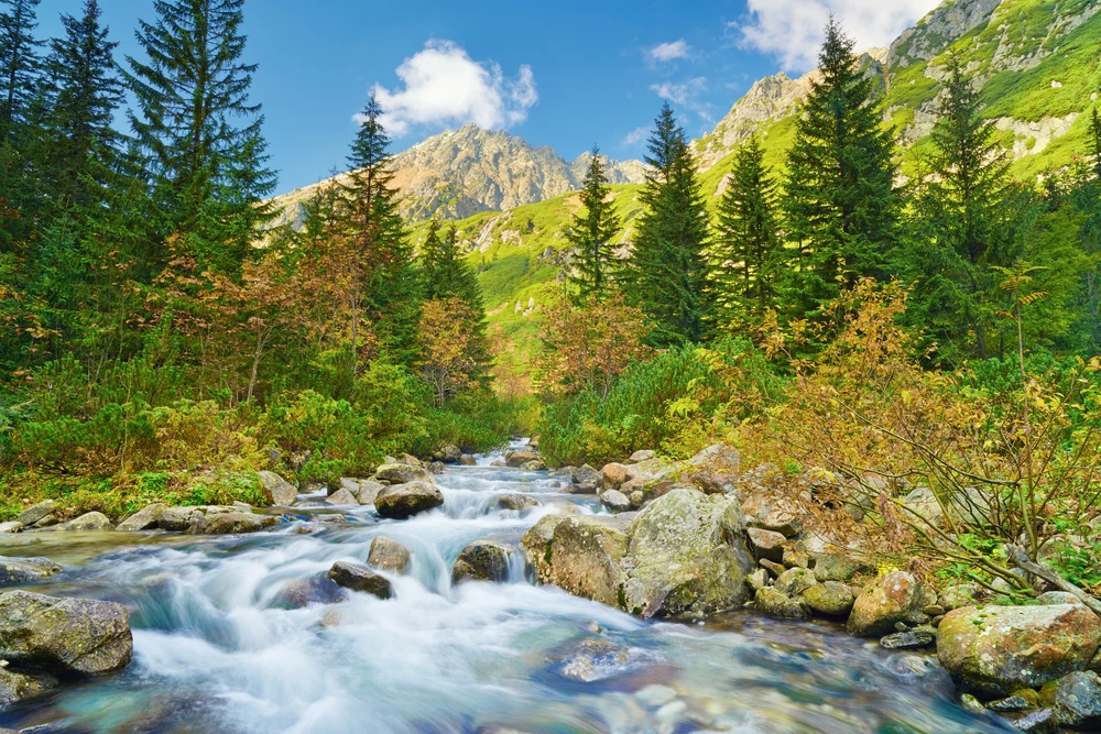
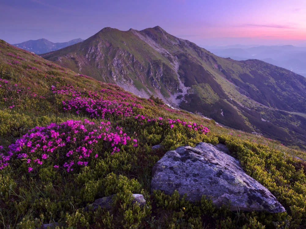
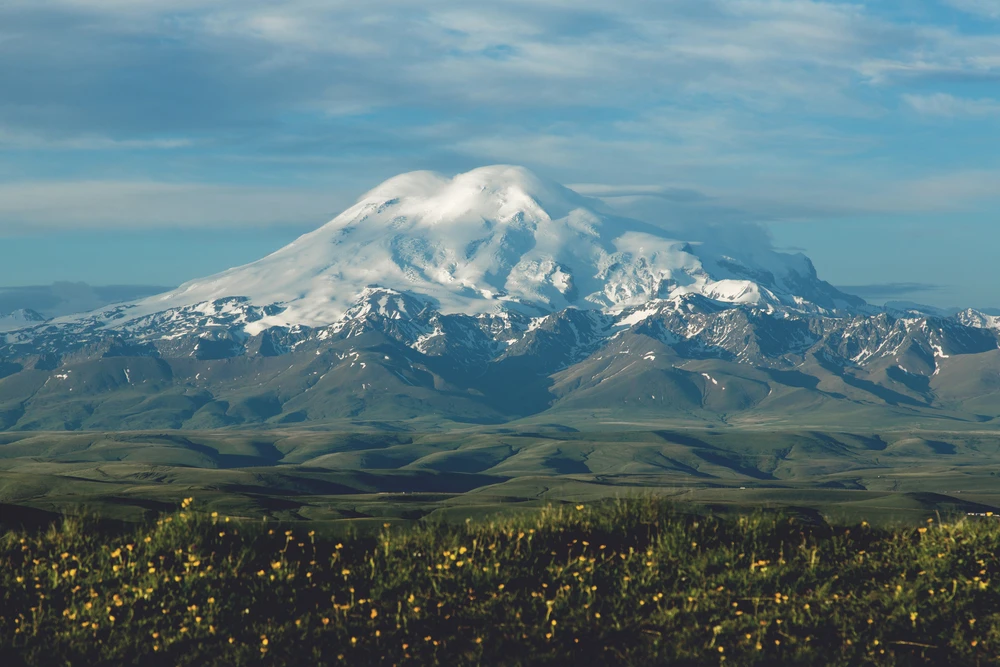
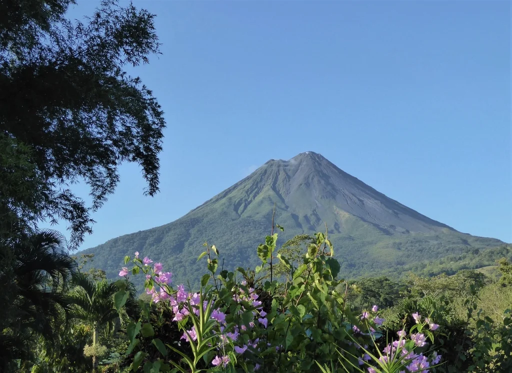
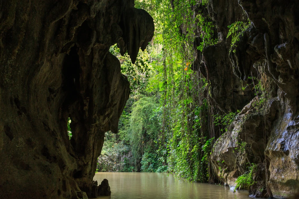
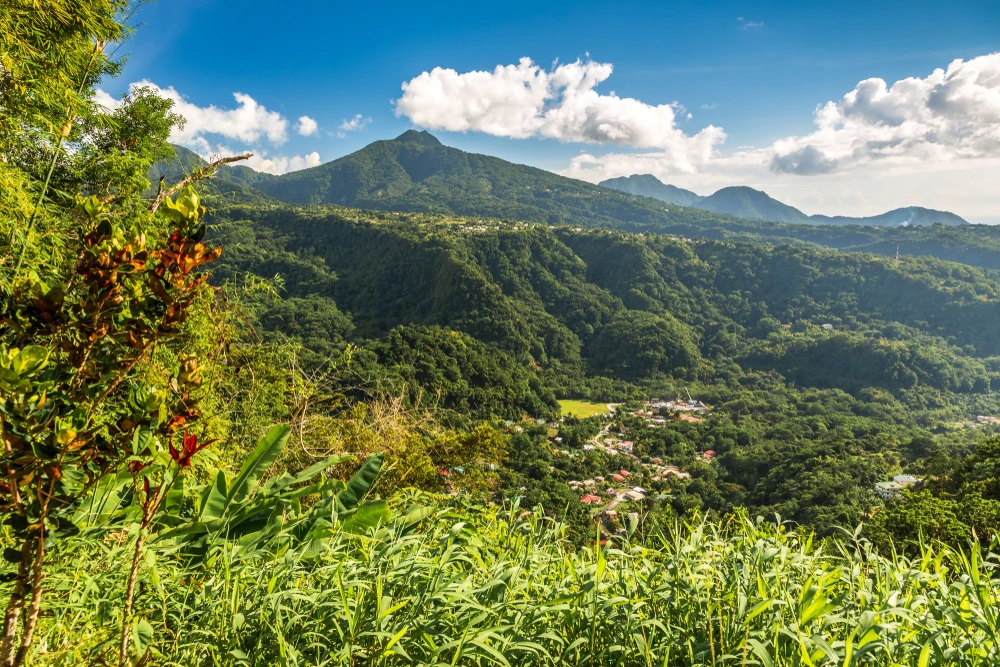
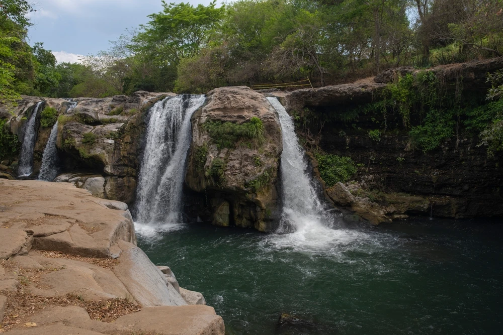
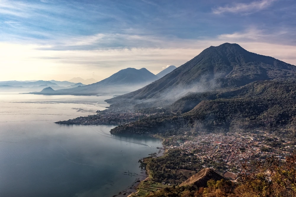
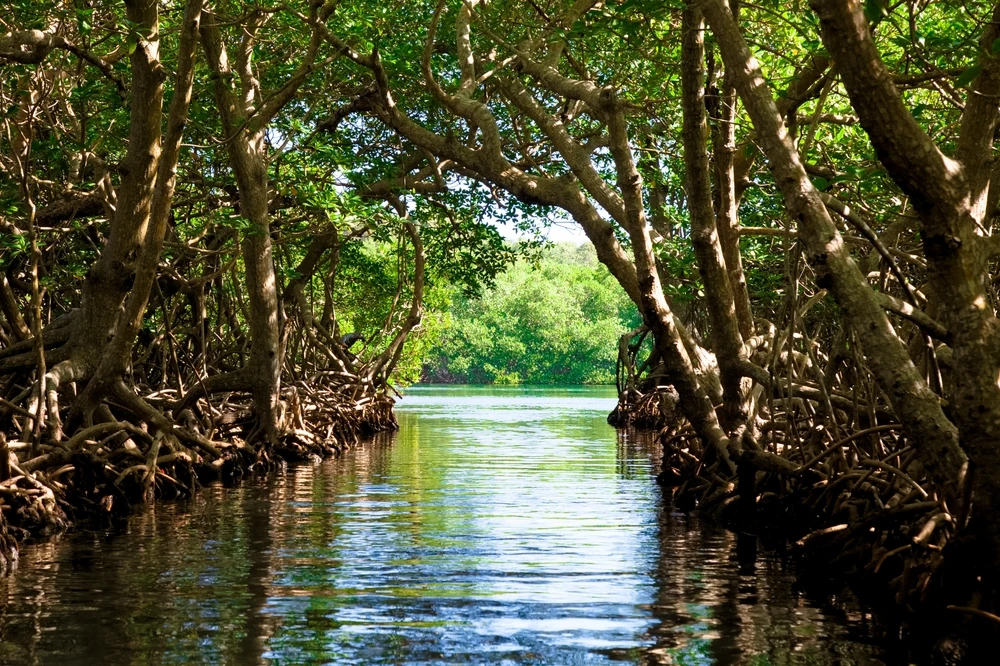
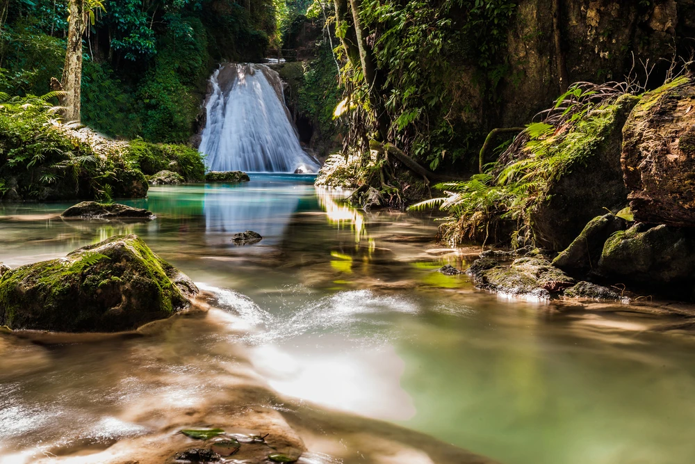
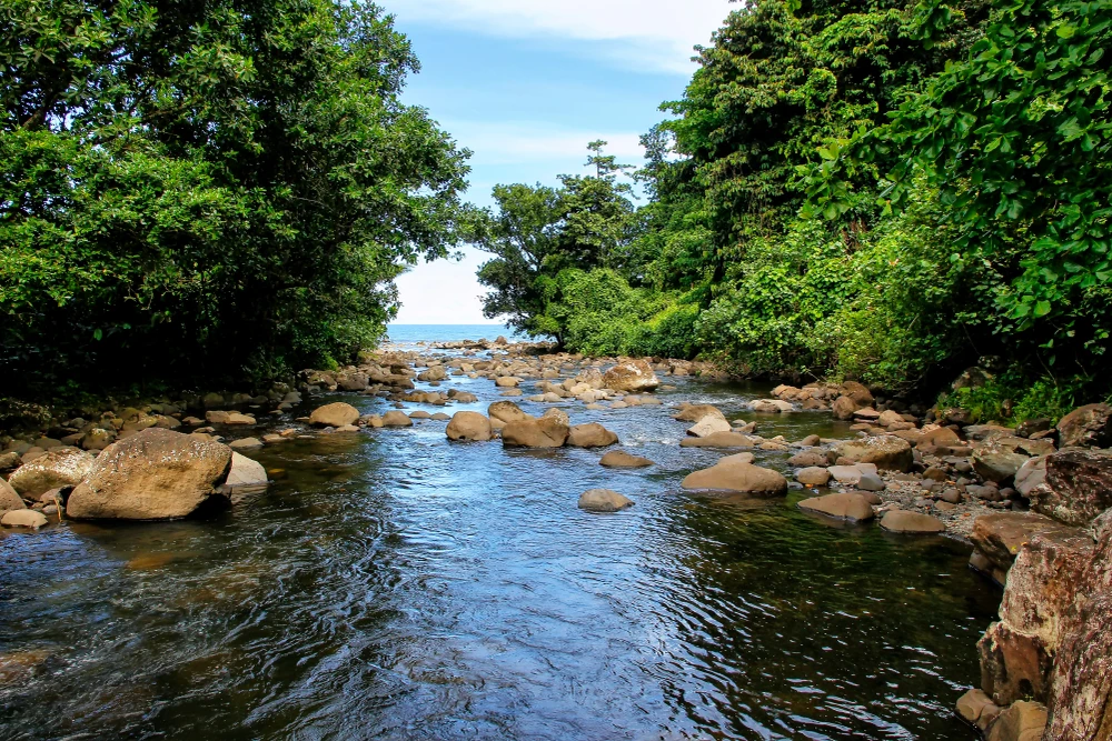
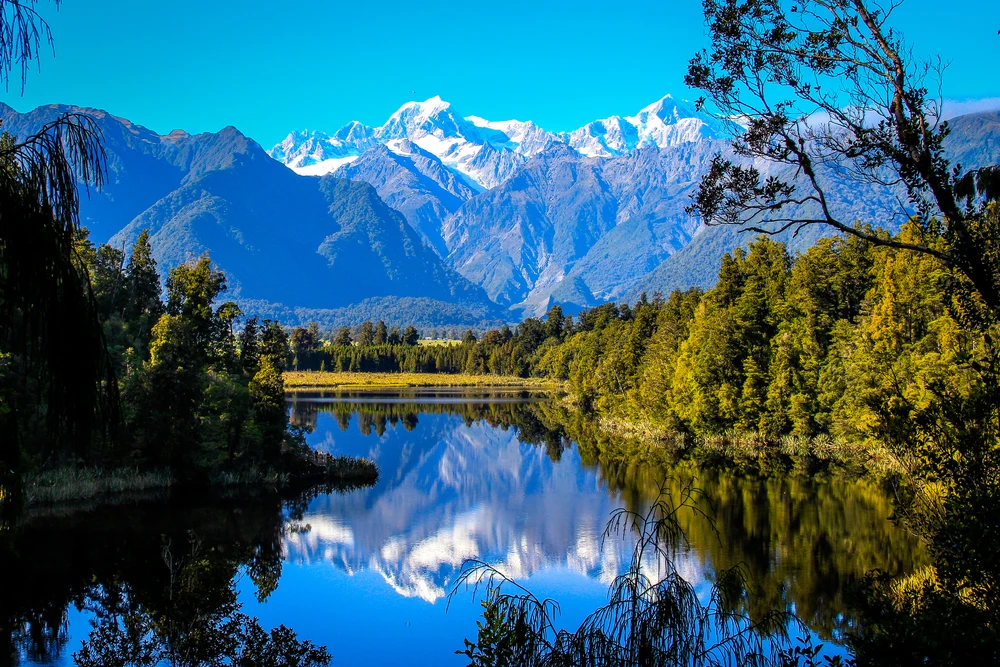
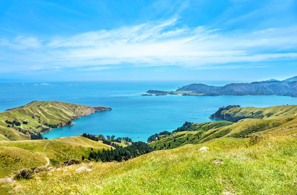
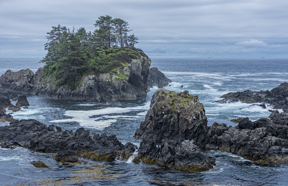
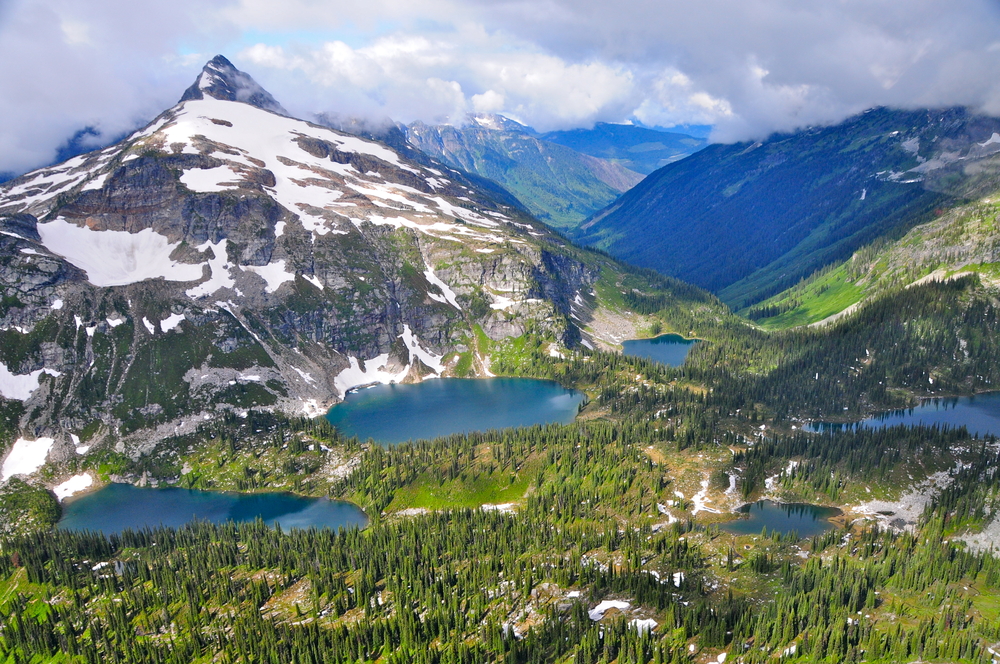
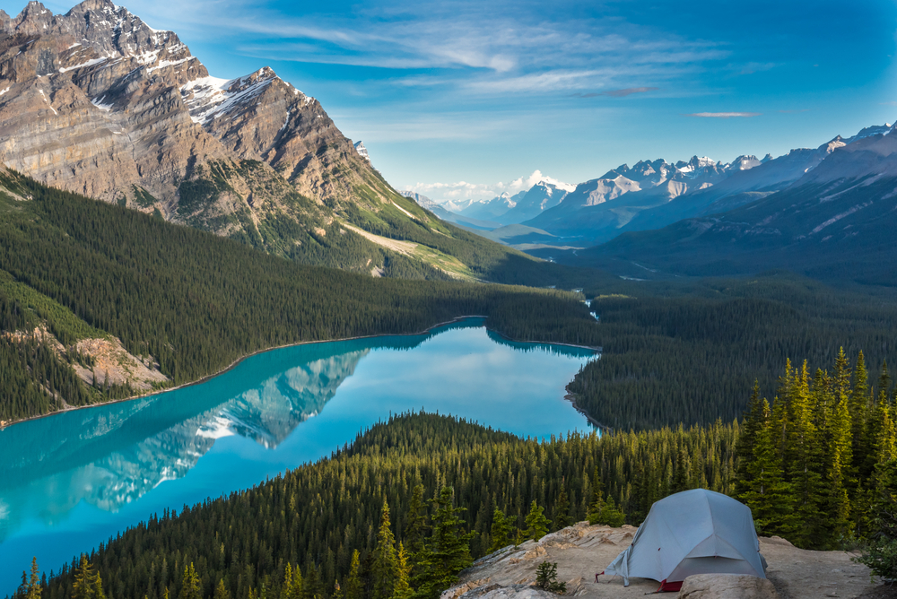
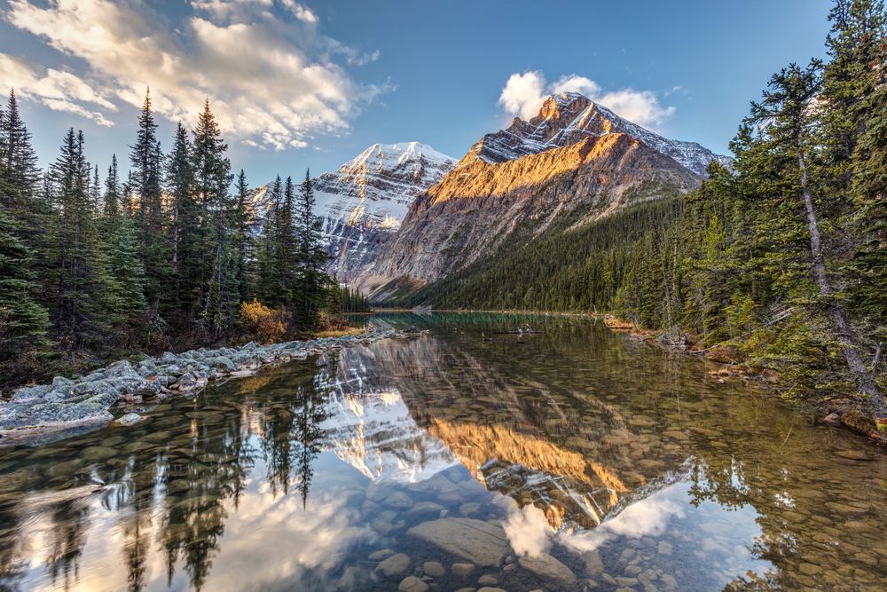
Yoho National Park Pictures
Yoho National Park Trails

Sources
- All Trails, Best Trails in Yoho National Park, https://www.alltrails.com/parks/canada/british-columbia/yoho-national-park, retrieved April 2024.
- Britannica, Yoho National park, https://www.britannica.com/place/Yoho-National-Park, retrieved April 2024.
- National Geographic, Yoho National Park, https://www.nationalgeographic.com/travel/parks/yoho-canada-park/, retrieved April 2024.
- National Geographic, National Parks of North America, Canada-United States-Mexico, National Geographic Society, 1995.
- Parks Canada, Yoho National Park, https://www.pc.gc.ca/en/pn-np/bc/yoho, retrieved April 2024.
- UNESCO, Canadian Rocky Mountain Parks, https://whc.unesco.org/en/list/304/, retrieved April 2024.