Gilf Kebir Overview
Gilf Kebir National Park, known in Arabic as “محمية الجلف الكبير” (Maḥmīyat al-Jilf al-Kabīr), is a vast protected area located in Egypt’s New Valley Governorate. Established in 2007, the park encompasses approximately 48,533 square kilometers, accounting for about 5% of Egypt’s total land area. Situated in the remote southwestern corner of the country, it borders Libya to the west and Sudan to the south, making it one of Egypt’s most secluded national parks.
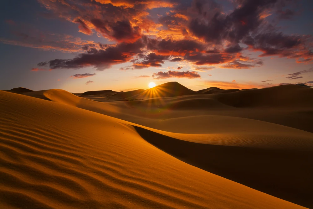
The park’s centerpiece is the Gilf Kebir Plateau, a massive sandstone formation rising 300 meters above the surrounding desert floor. This plateau is renowned for its dramatic cliffs, deep wadis, and expansive sand dunes, offering a rugged beauty that has captivated explorers and adventurers. Notable features include Wadi Sura, home to the famous “Cave of Swimmers,” which contains prehistoric rock art depicting human figures and animals, providing insight into early human life in the region.
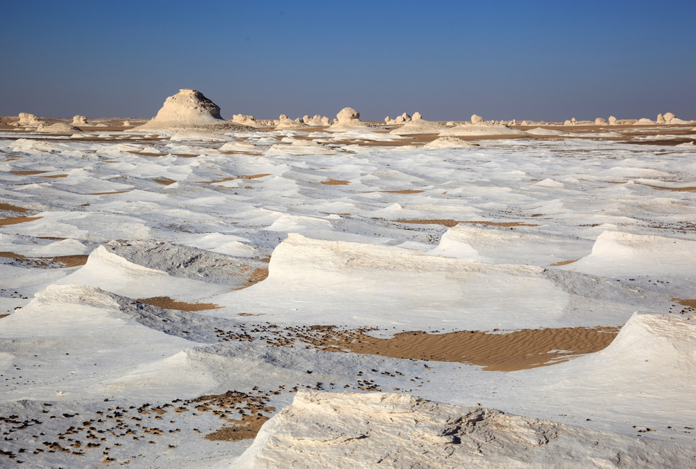
Adjacent to the plateau is Gabal El Uweinat, a prominent mountain massif that straddles the borders of Egypt, Libya, and Sudan. Rising to an elevation of approximately 1,934 meters, Gabal El Uweinat is characterized by its unique granite formations and serves as a critical landmark within the park. The area between Gilf Kebir and Gabal El Uweinat features vast sand dune plains, including parts of the Great Sand Sea, known for its mesmerizing landscapes and challenging terrain.
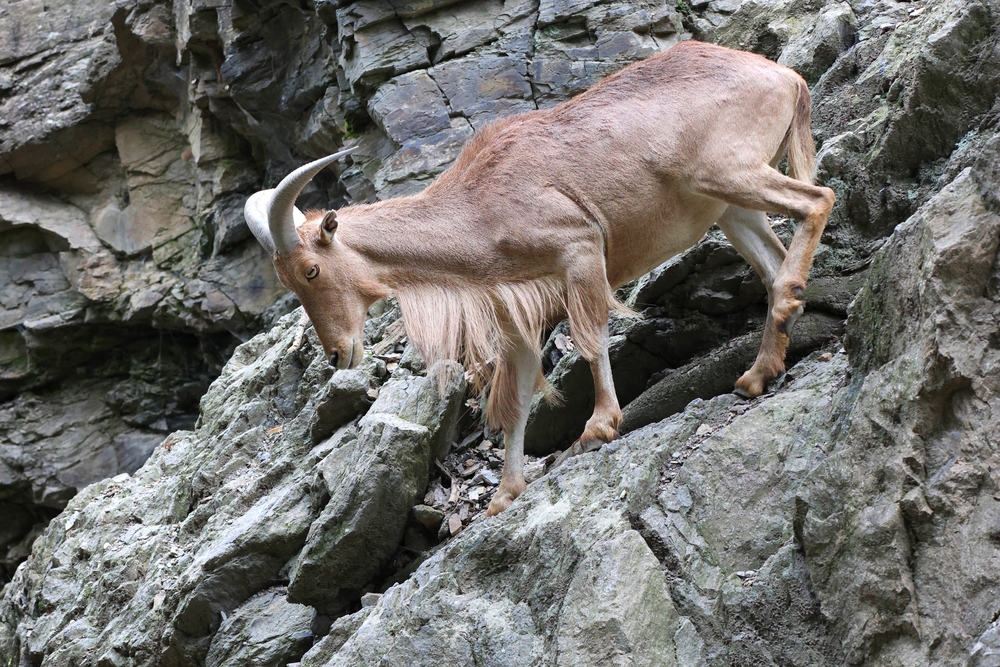
The park’s hyper-arid environment supports a limited but specialized array of wildlife. Species such as the Barbary sheep (Ammotragus lervia), also known as the aoudad, and the Nubian ibex (Capra nubiana) have adapted to the harsh conditions. Avian species, including various raptors and migratory birds, can be observed, especially around the few water sources that exist. The extreme aridity, with rainfall occurring as infrequently as once every twenty years, has led to unique ecological adaptations among the resident species.
Gilf Kebir National Park is also a treasure trove of cultural heritage. The prehistoric rock art found in caves and shelters, such as the “Cave of Swimmers” and the “Cave of Archers,” depicts scenes of daily life and fauna from a time when the region was more hospitable. These artworks are invaluable for understanding the historical human occupation and climatic changes in the Sahara.
Conservation efforts in the park focus on preserving both its natural and cultural resources. The establishment of the park aimed to protect its unique ecosystems and archaeological sites from threats such as unregulated tourism and potential looting. Collaborative projects, including international partnerships, have been initiated to document and conserve the rock art, with measures taken to prevent further deterioration of these ancient artworks.
Visiting Gilf Kebir National Park offers a journey into one of the most remote and untouched parts of the Sahara. Adventurous travelers can explore the vast desert landscapes, view ancient rock art, and experience the profound silence of the desert. Due to its remoteness and lack of facilities, expeditions require thorough preparation and are typically conducted with specialized guides. The park’s isolation ensures that its breathtaking landscapes remain largely unspoiled, providing a unique experience for those seeking to venture off the beaten path.
In summary, Gilf Kebir National Park stands as a testament to Egypt’s commitment to preserving its natural and cultural heritage. Its expansive deserts, towering plateaus, and ancient artworks offer a glimpse into a bygone era, making it a destination of profound significance for both nature enthusiasts and historians.

