


Exmoor Overview
Exmoor National Park, established in 1954, is located in the southwest of England, United Kingdom, straddling the counties of Somerset and Devon. It covers an area of about 693 square kilometers (267 square miles), showcasing a diverse landscape of rugged coastlines, moorland, wooded valleys, and rolling farmland. This varied terrain not only offers breathtaking views and a sense of wild, natural beauty but also serves as a habitat for a rich array of wildlife and plant species.
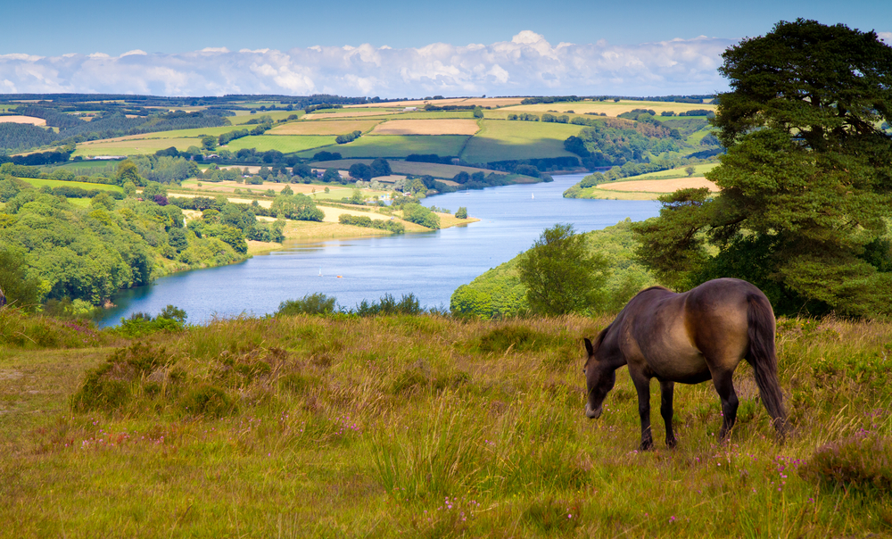
The park is named after the River Exe, which originates within its boundaries, and features the distinctive Exmoor moorland, characterized by its open, sweeping landscapes. These moorlands are home to the iconic Exmoor ponies, a native breed that roams freely and is one of the park’s most famous residents. In addition to the ponies, the park supports a variety of wildlife, including red deer, the largest wild land animals in England, and a multitude of bird species, making it a haven for nature enthusiasts and wildlife watchers.
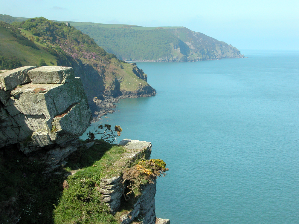
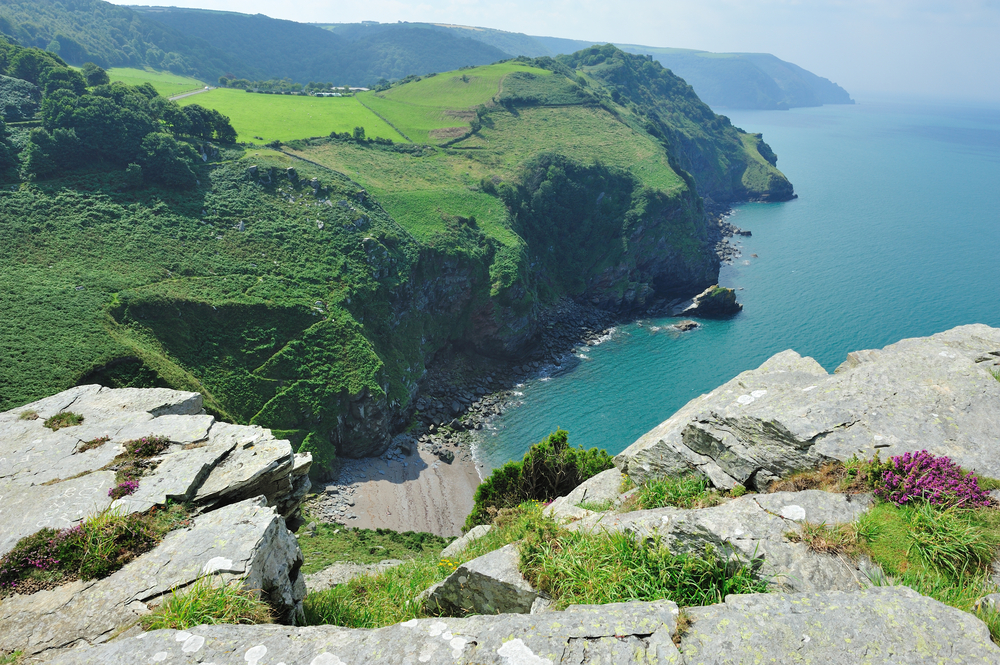
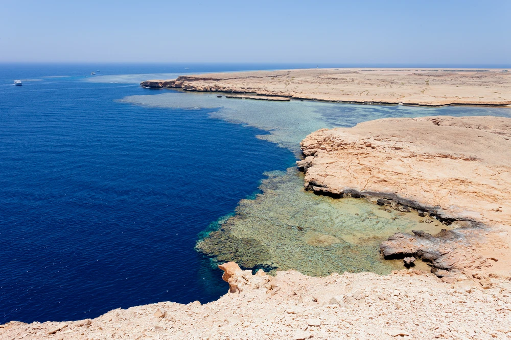
Exmoor’s coastline, part of which is known as the Heritage Coast, offers some of the most dramatic seaside cliffs and landscapes in England, including the highest sea cliffs on the British mainland at Great Hangman. The park’s network of trails and footpaths, including the South West Coast Path, provides ample opportunities for walking, hiking, and exploring the natural beauty and scenic vistas.
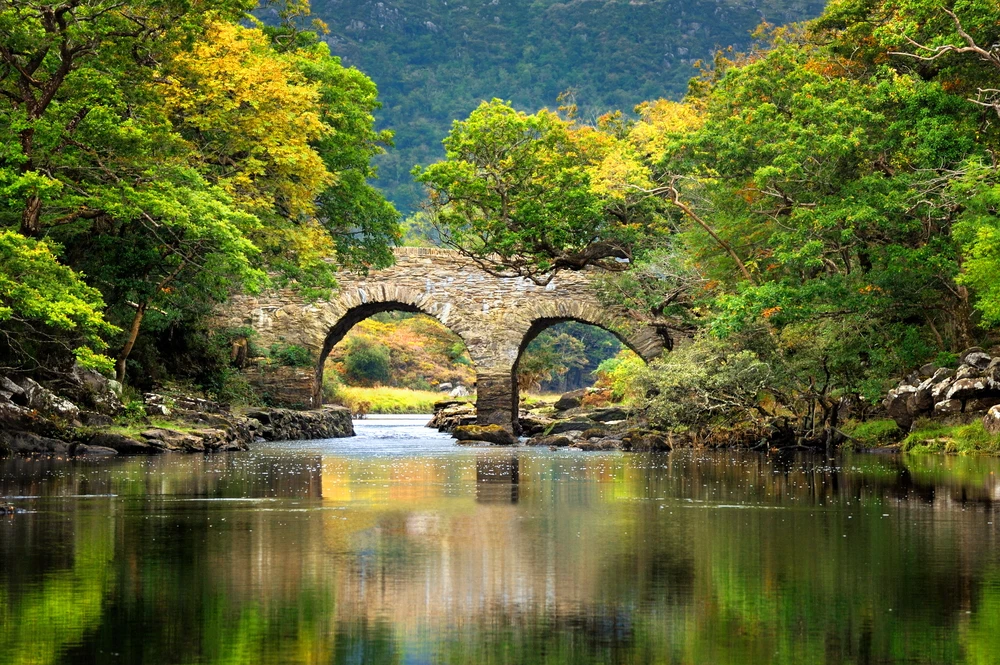
The park is not only a place of natural wonder but also of rich history and culture, with ancient stone circles, medieval villages, and historic landmarks dotting the landscape. Exmoor’s charming towns and villages offer a glimpse into rural English life, with local pubs, tea rooms, and accommodations providing warm hospitality.
Exmoor National Park is a place of inspiration and recreation, where the natural environment is preserved and celebrated. Its diverse landscapes, wildlife, and cultural heritage make it a cherished destination for visitors seeking to explore the natural beauty and rural charm of southwest England.

Park Map
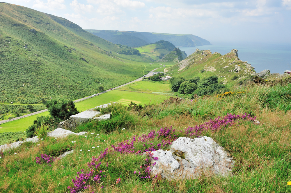
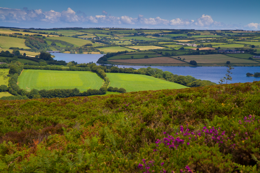
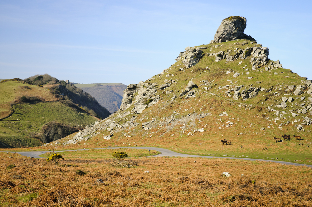
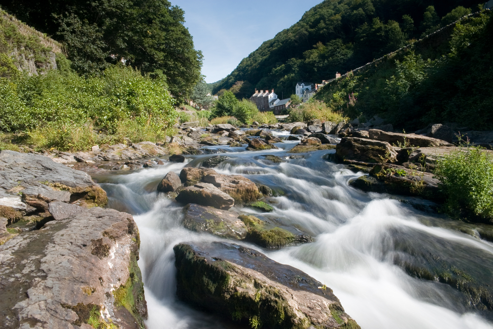
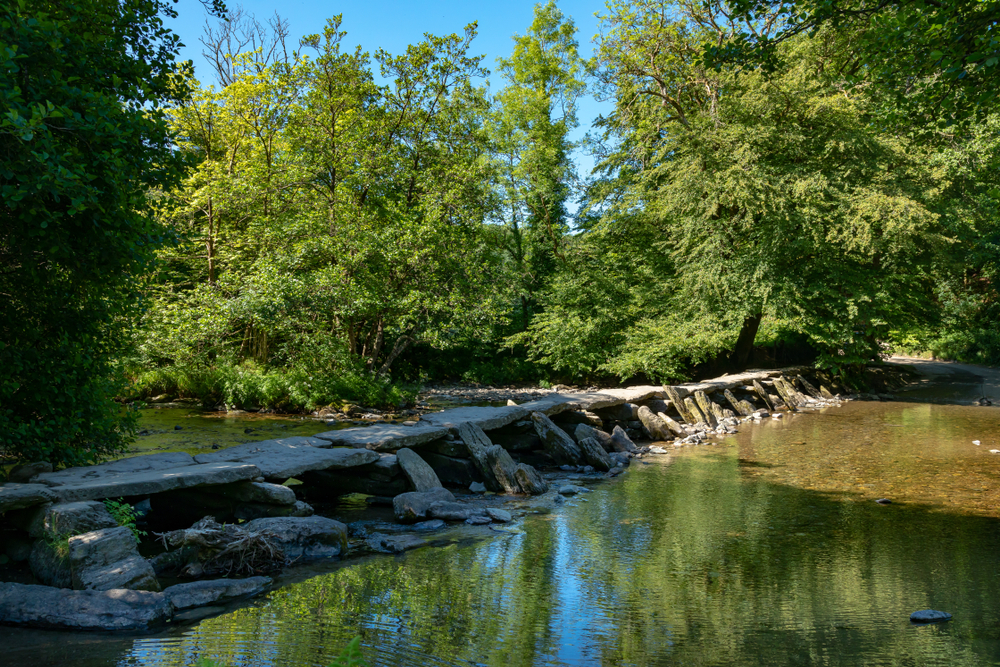
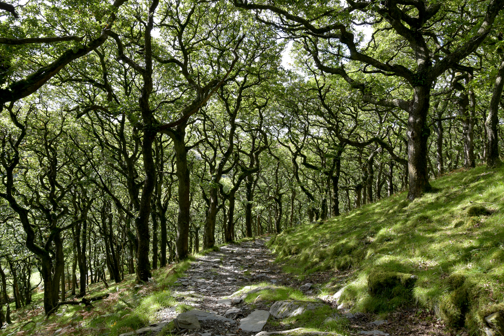
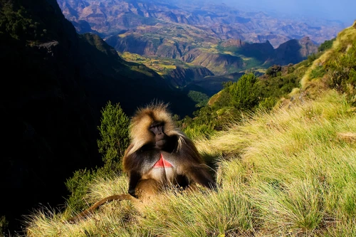
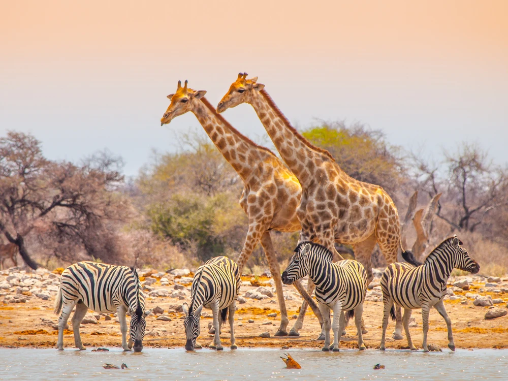
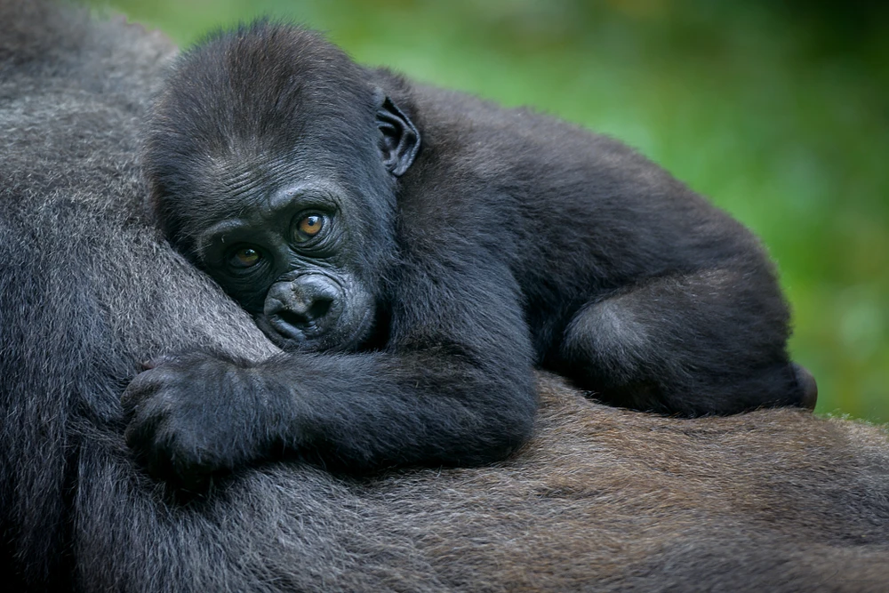
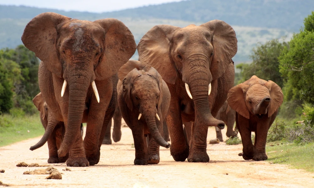
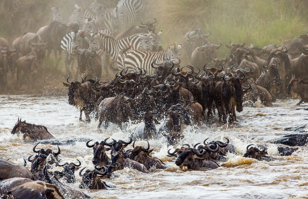
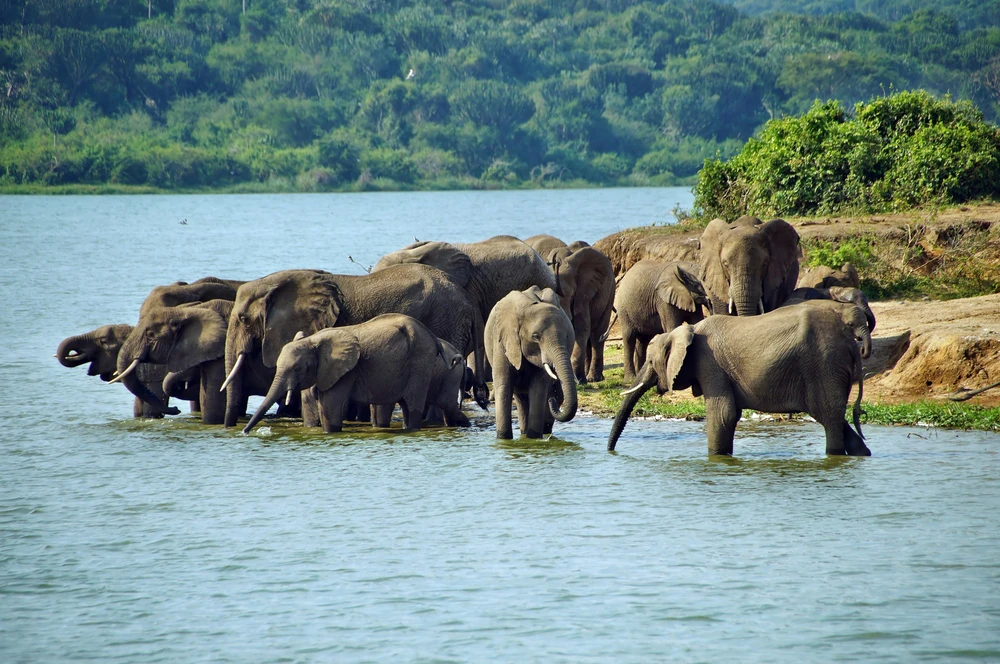
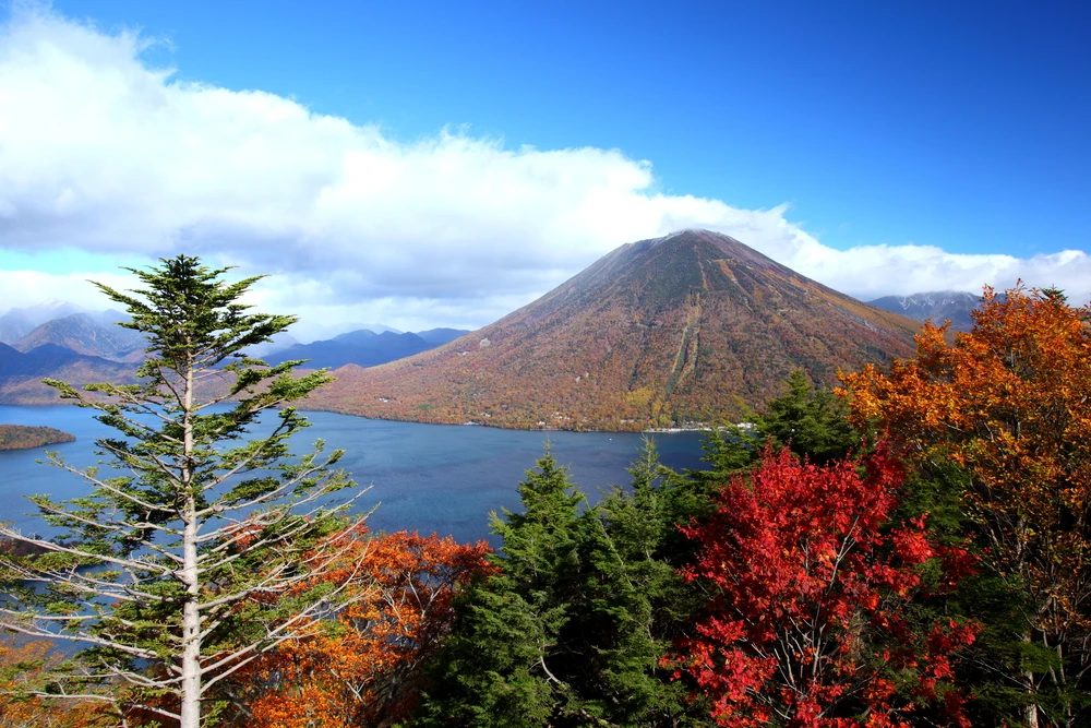
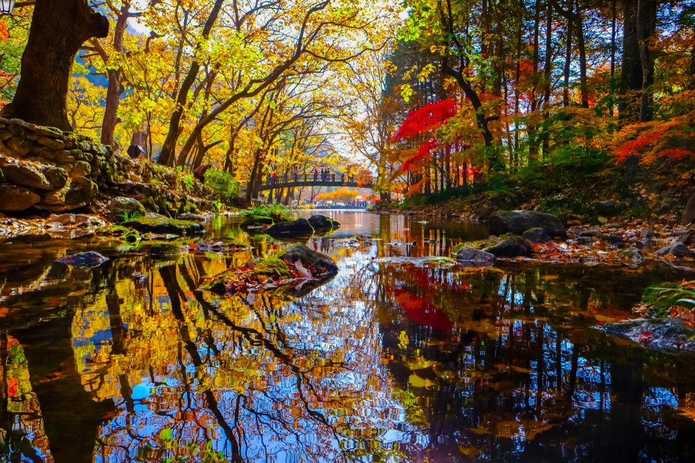
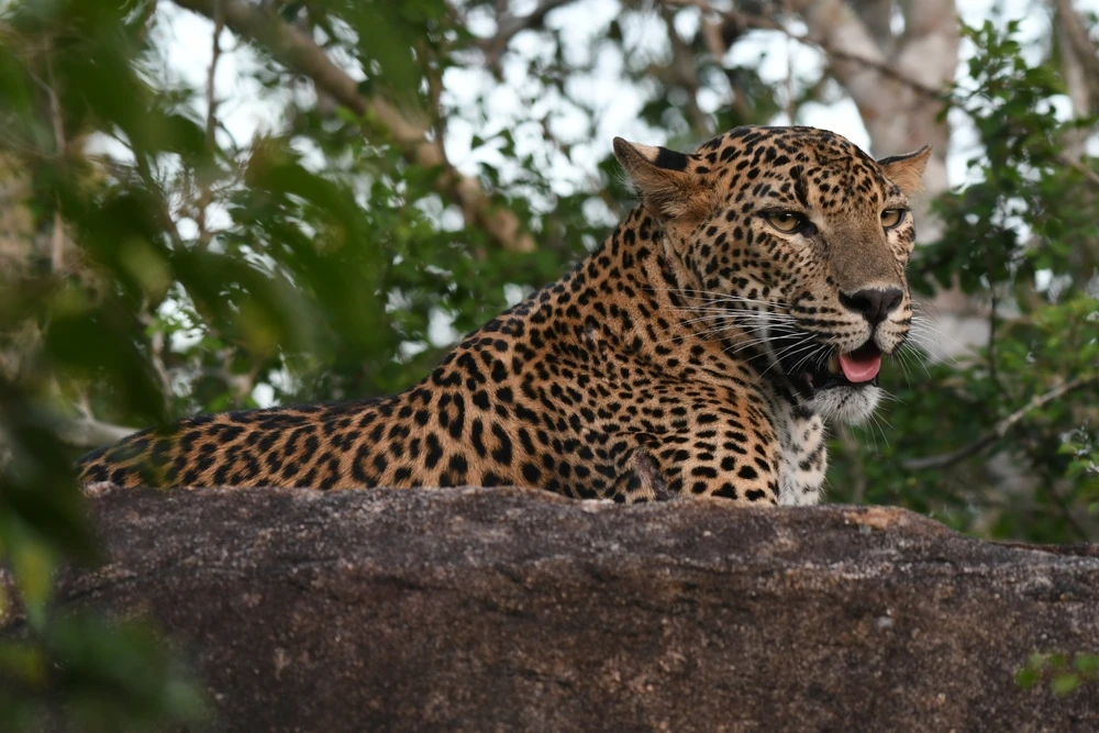
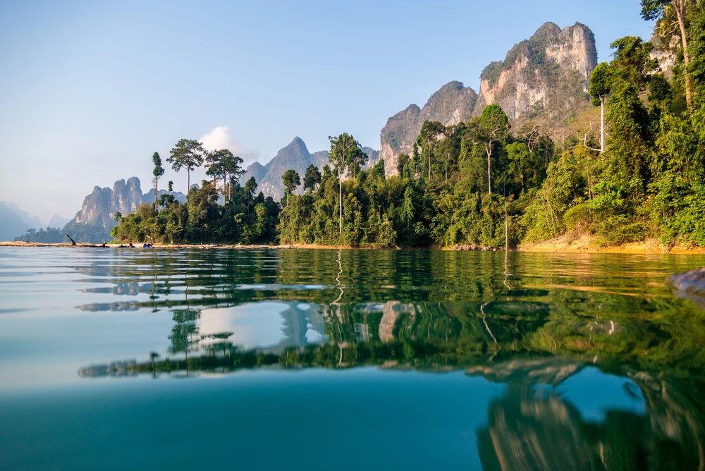
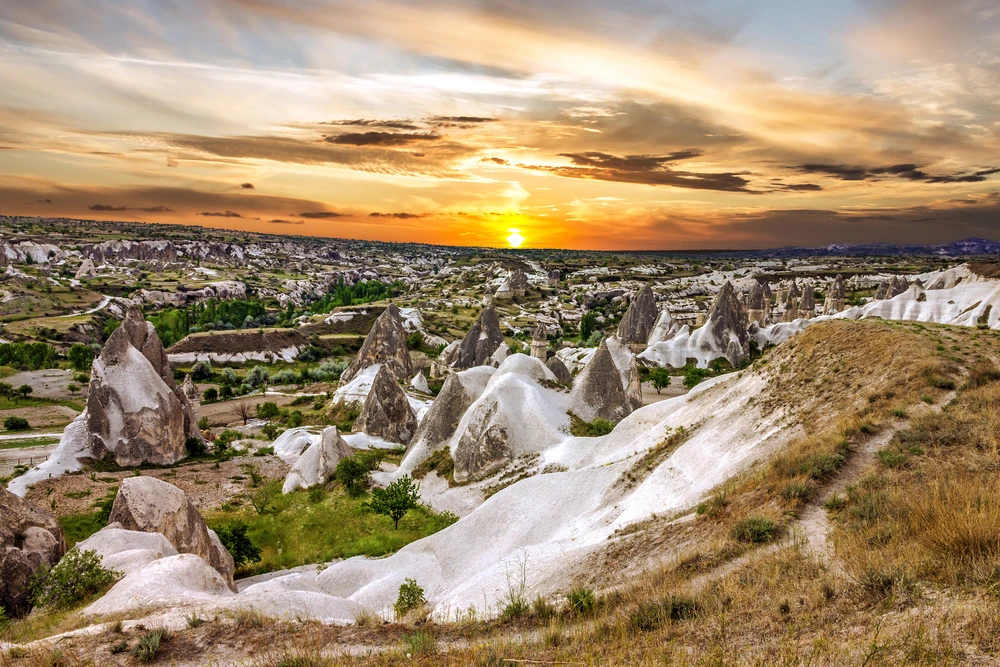
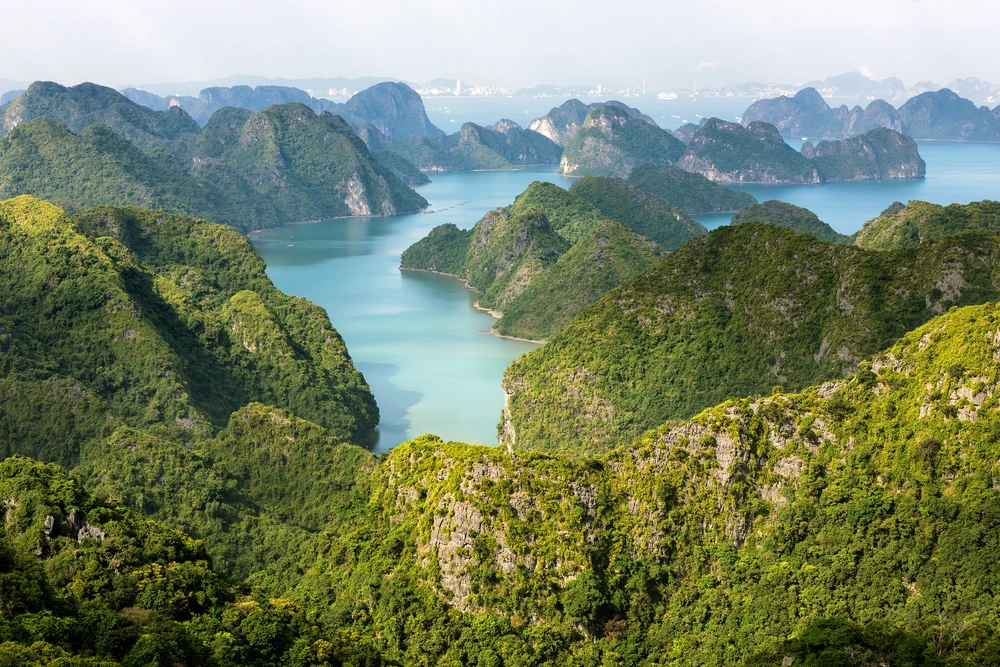
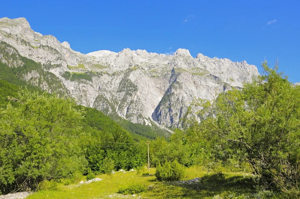
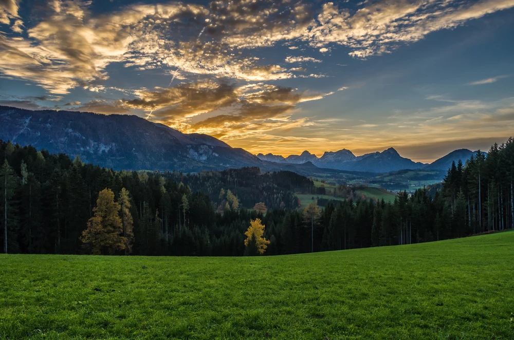
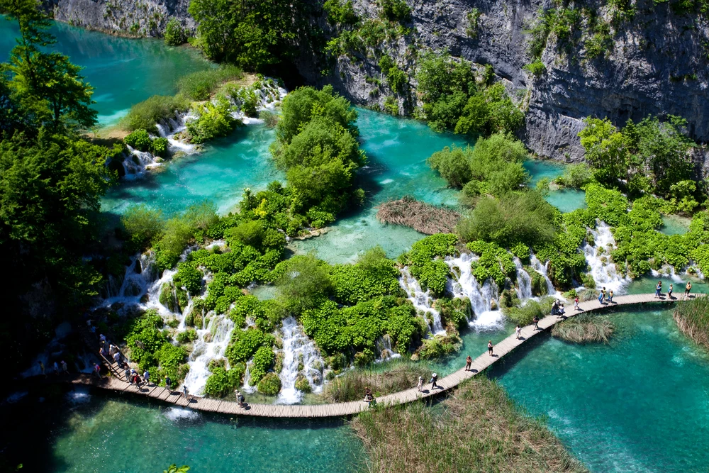
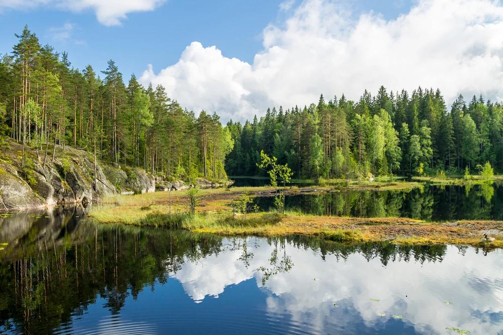
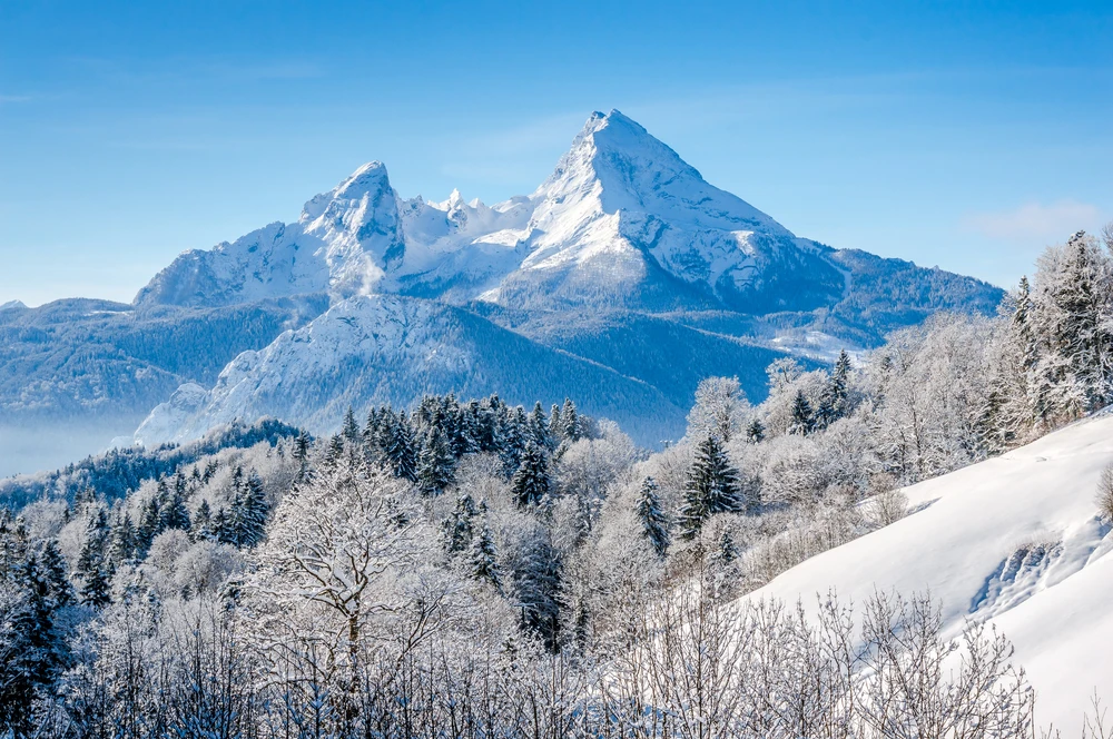
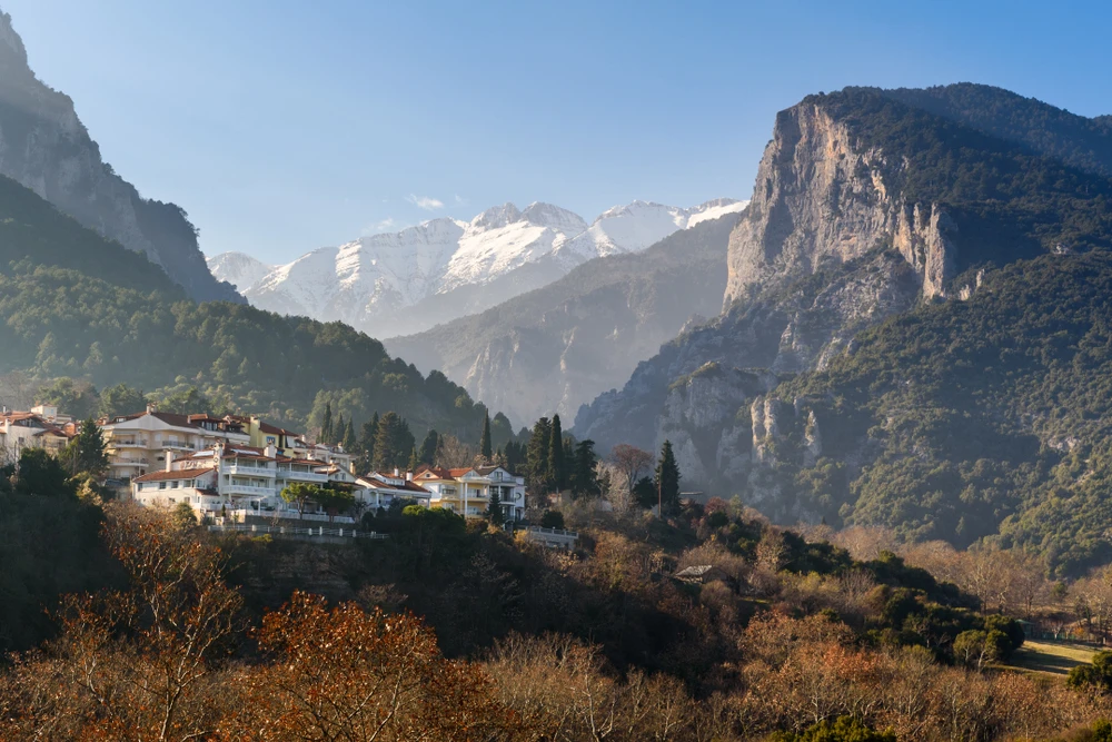
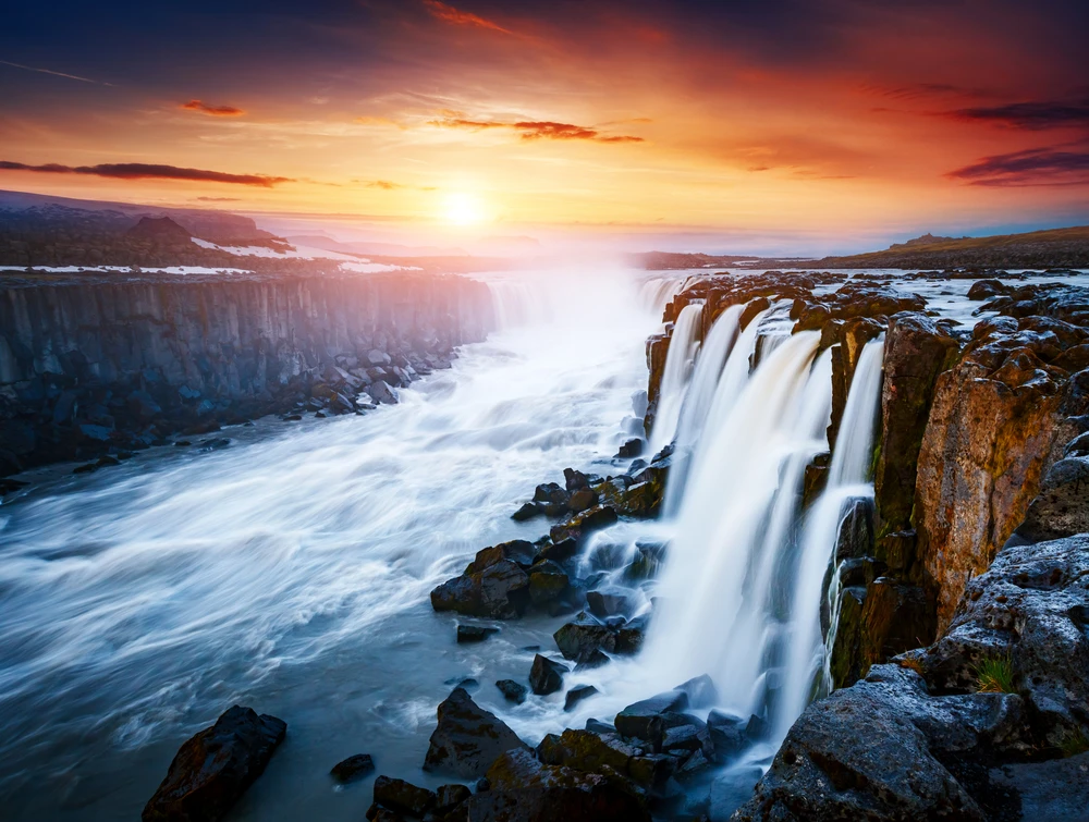
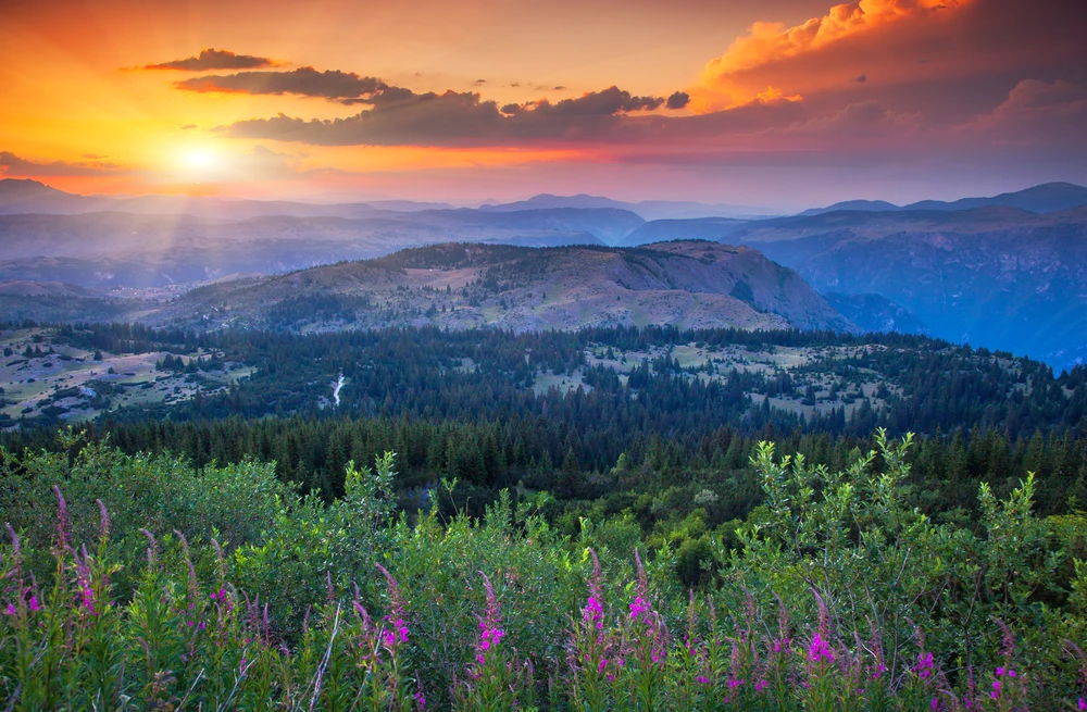
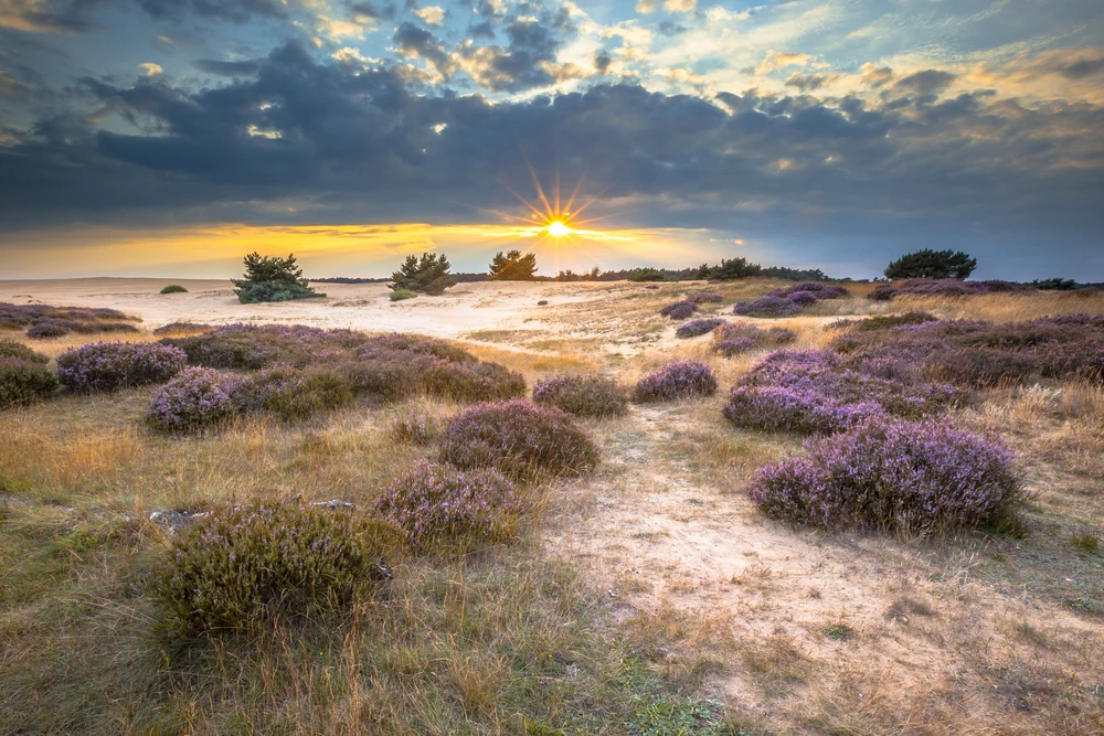
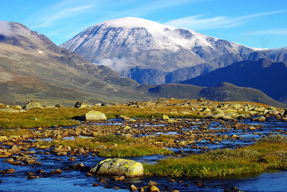
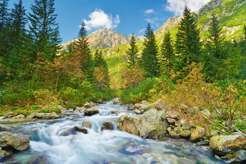
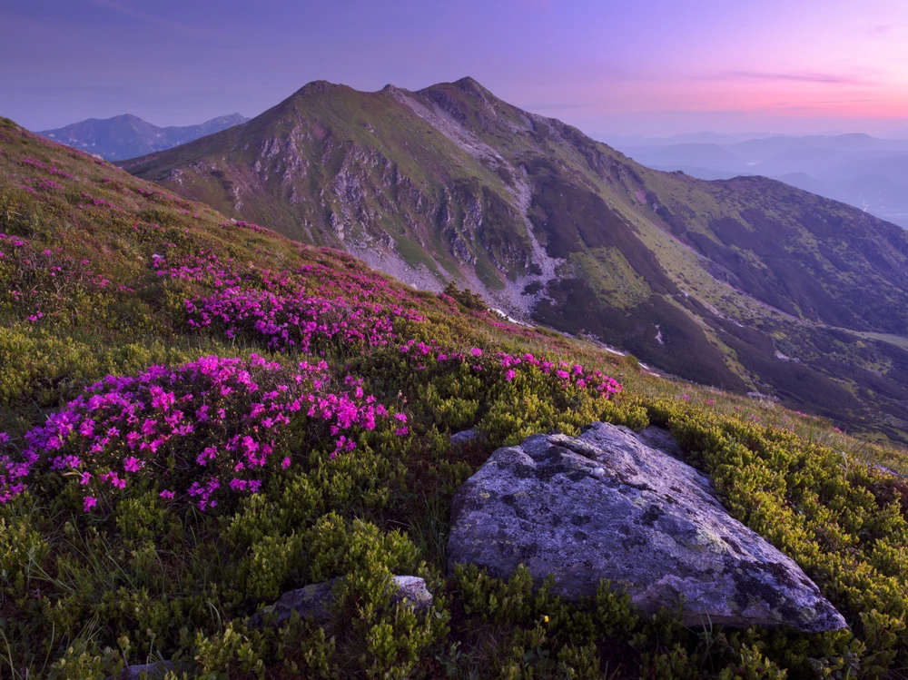
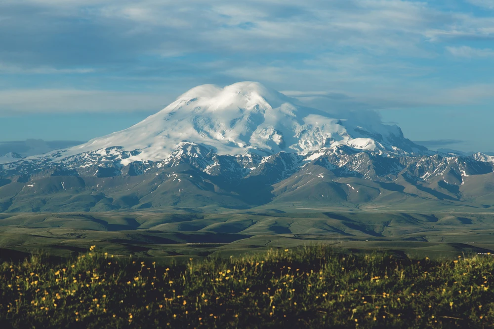
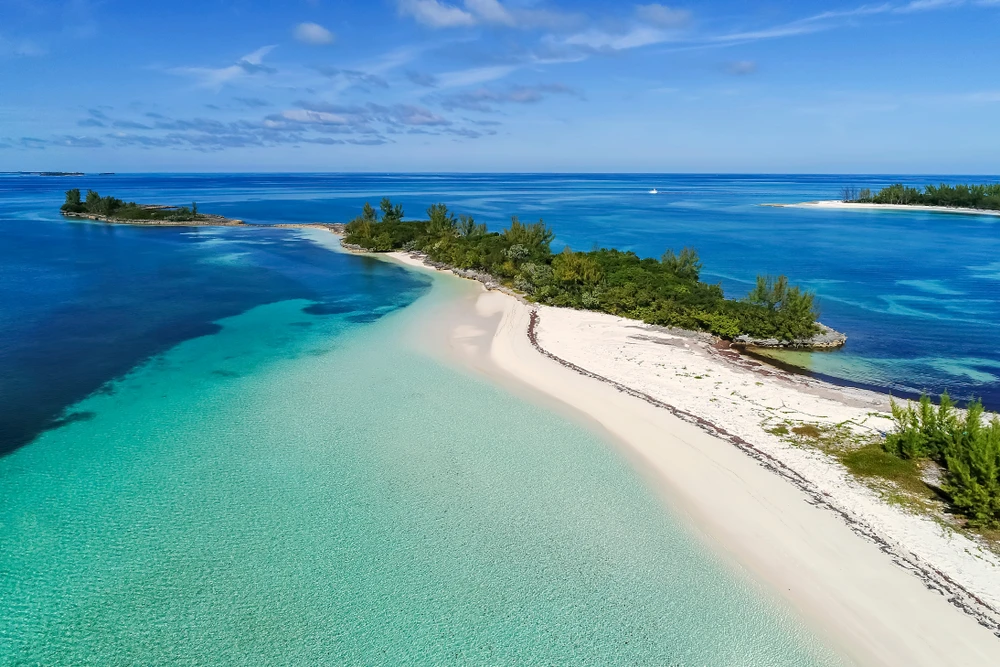
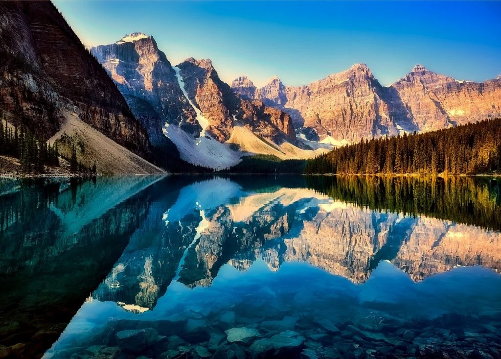
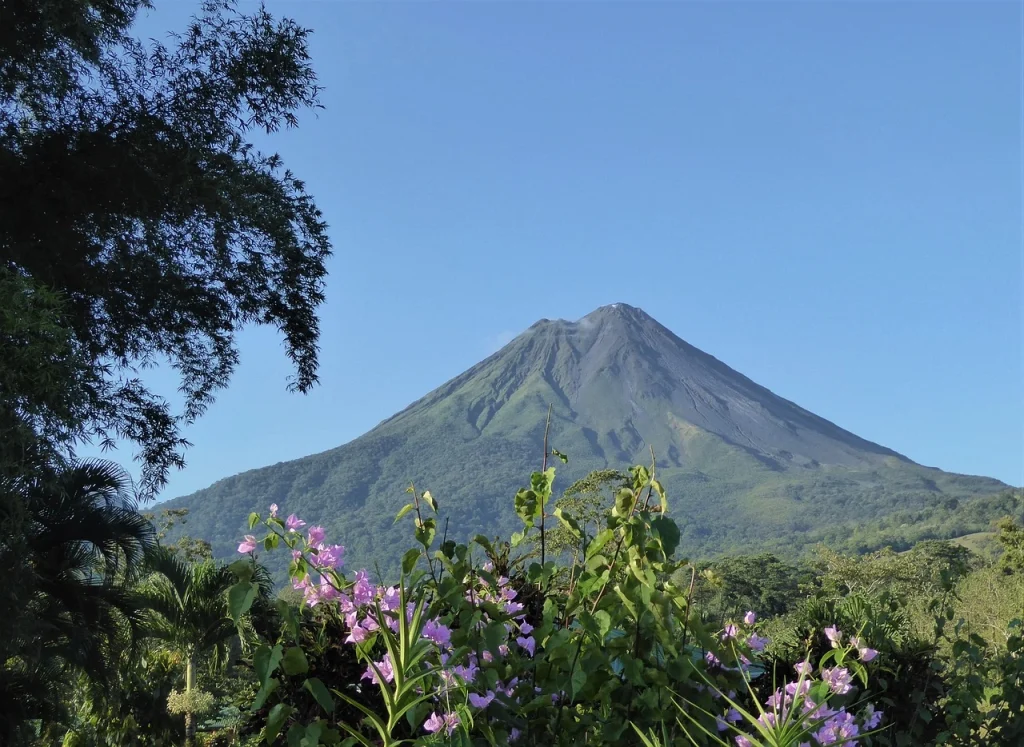
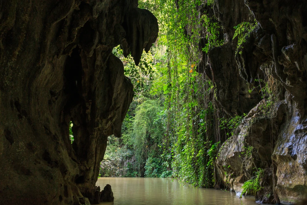
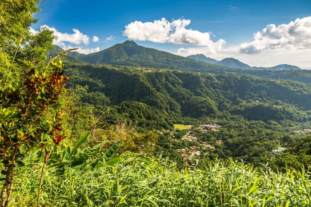
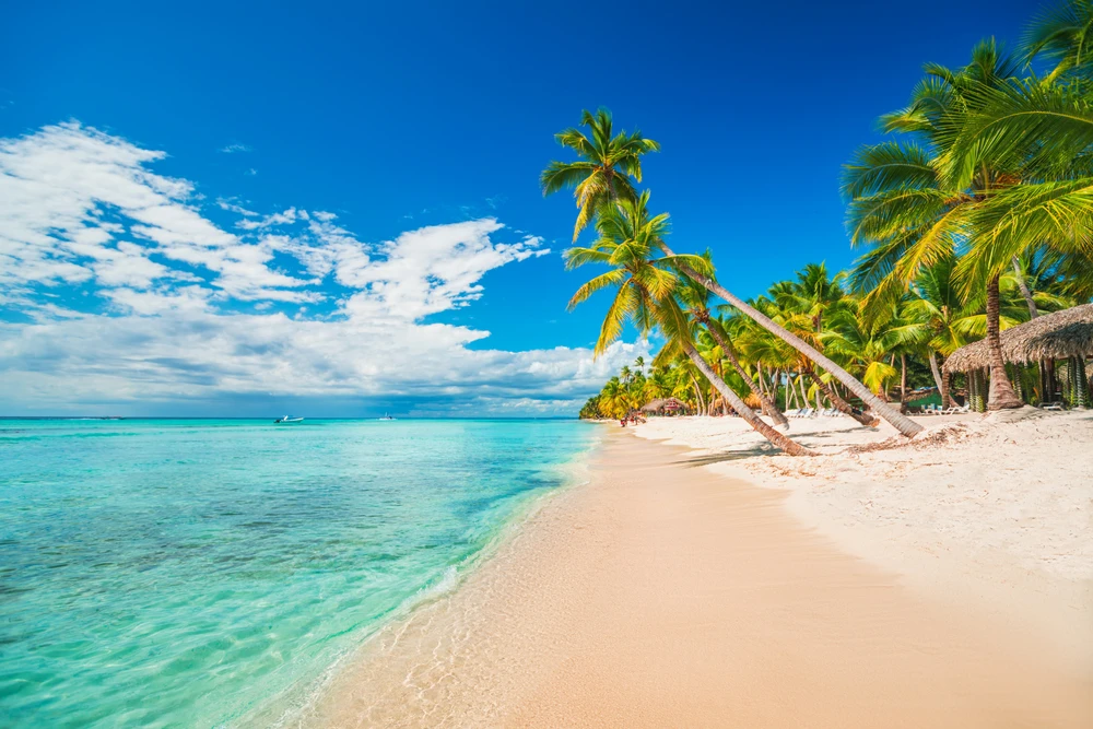
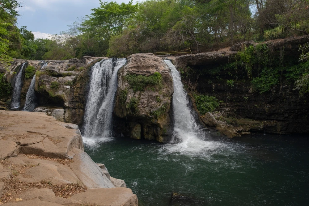
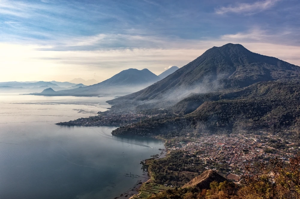
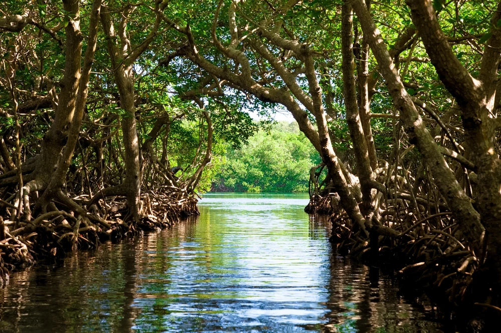
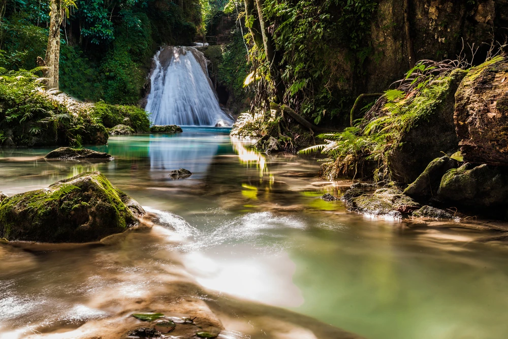
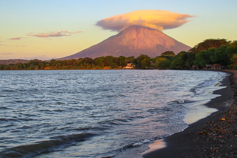
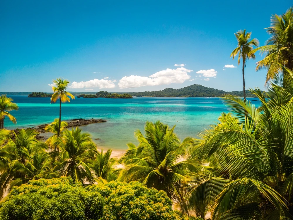
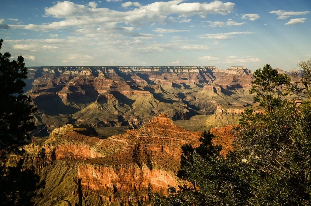
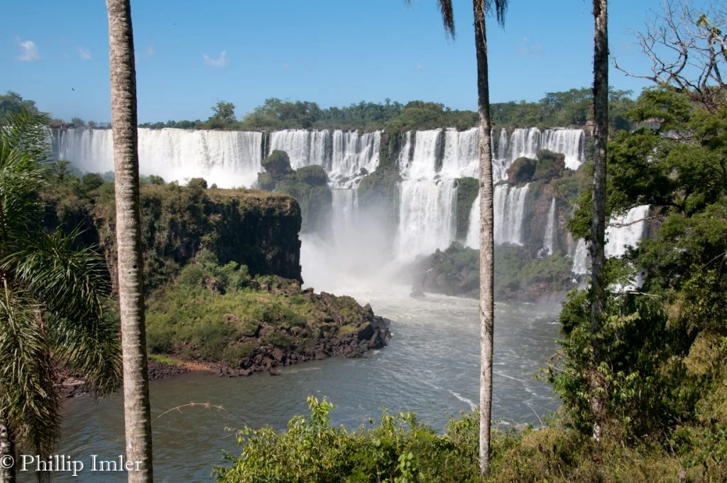
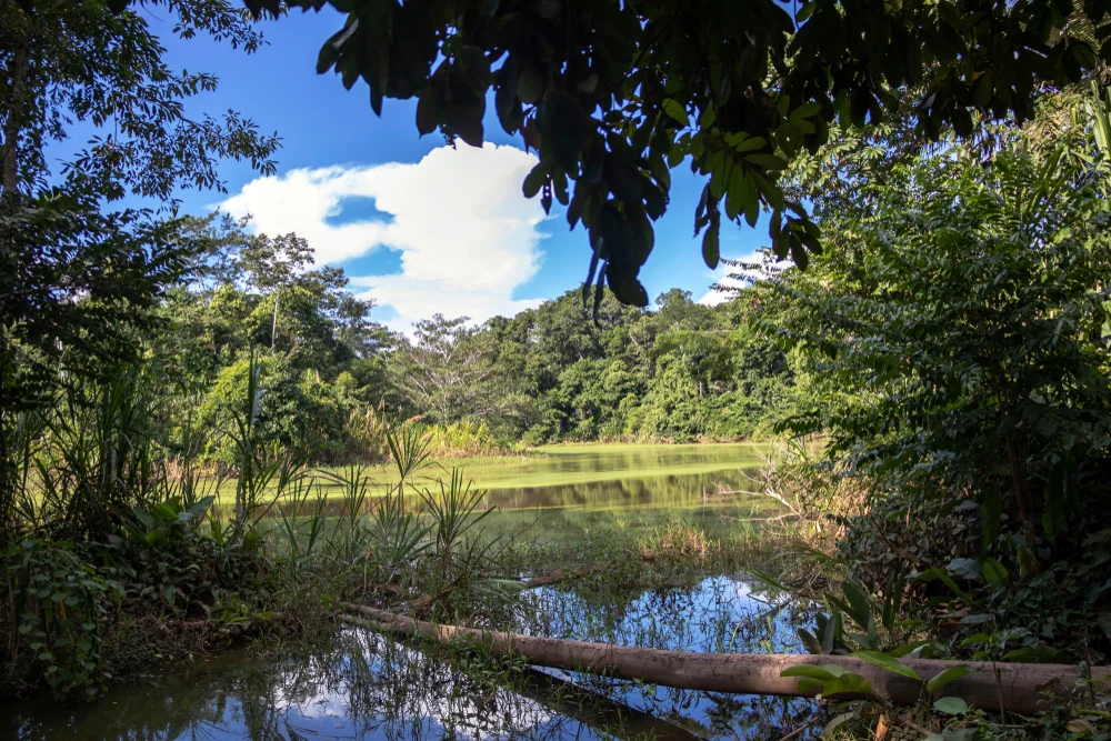
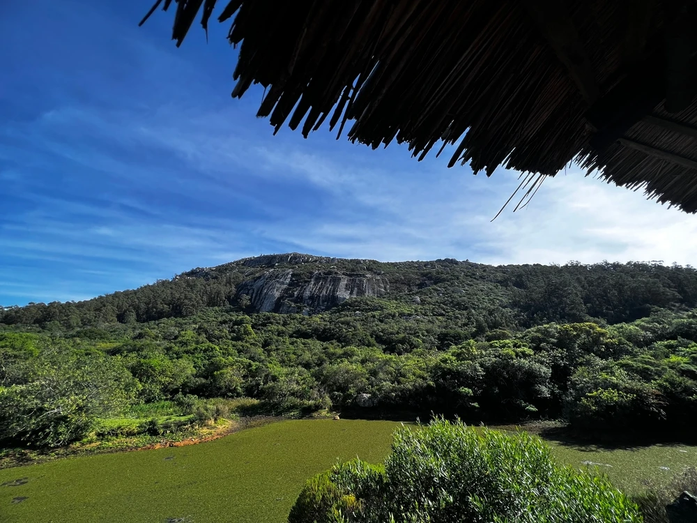
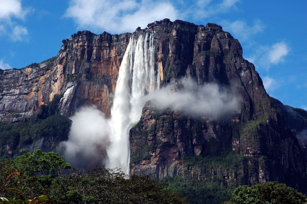
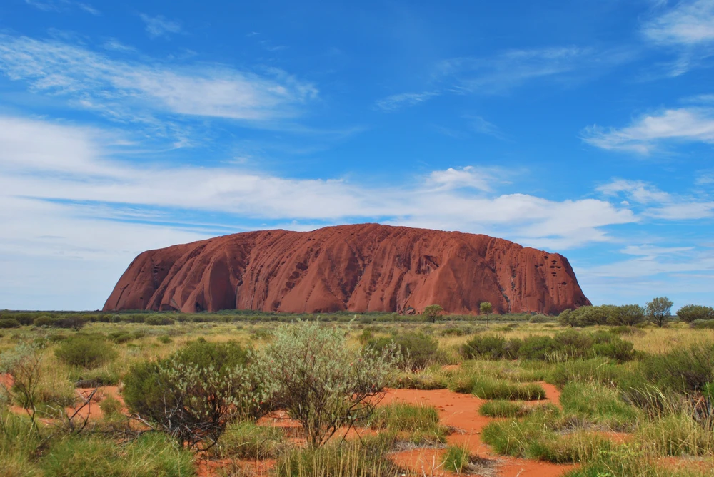
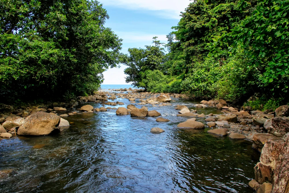
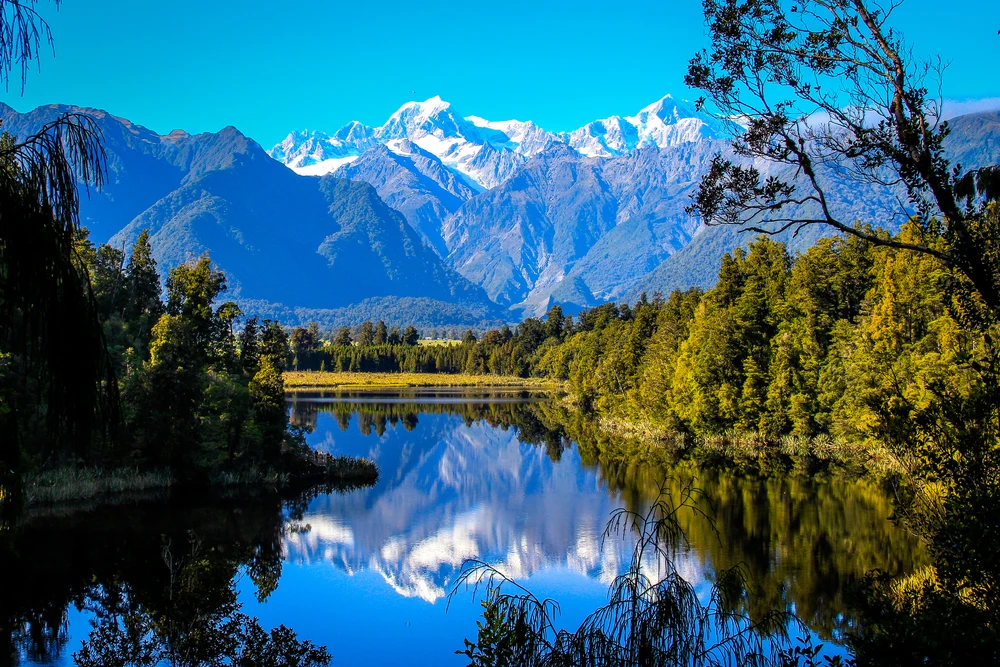
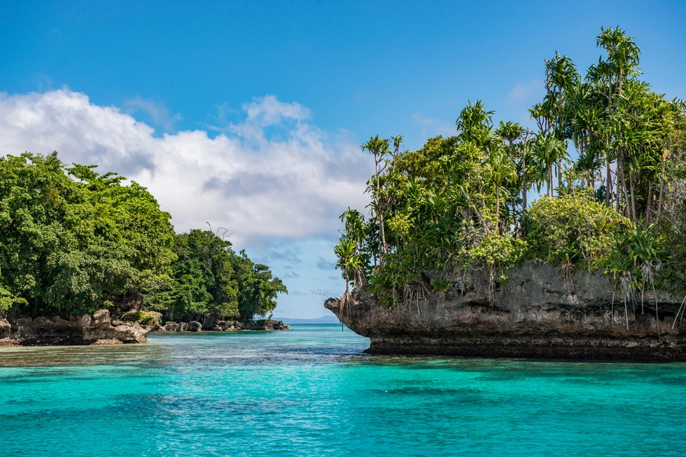
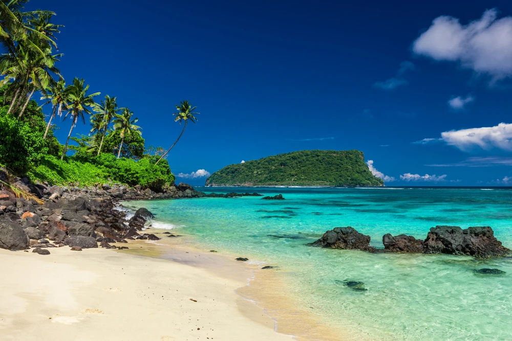
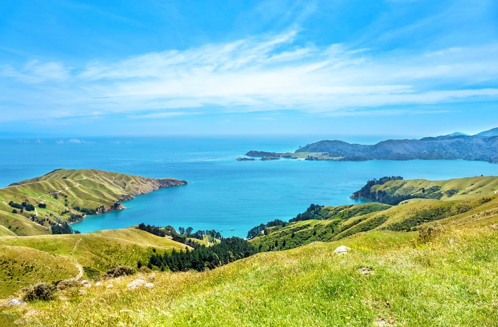
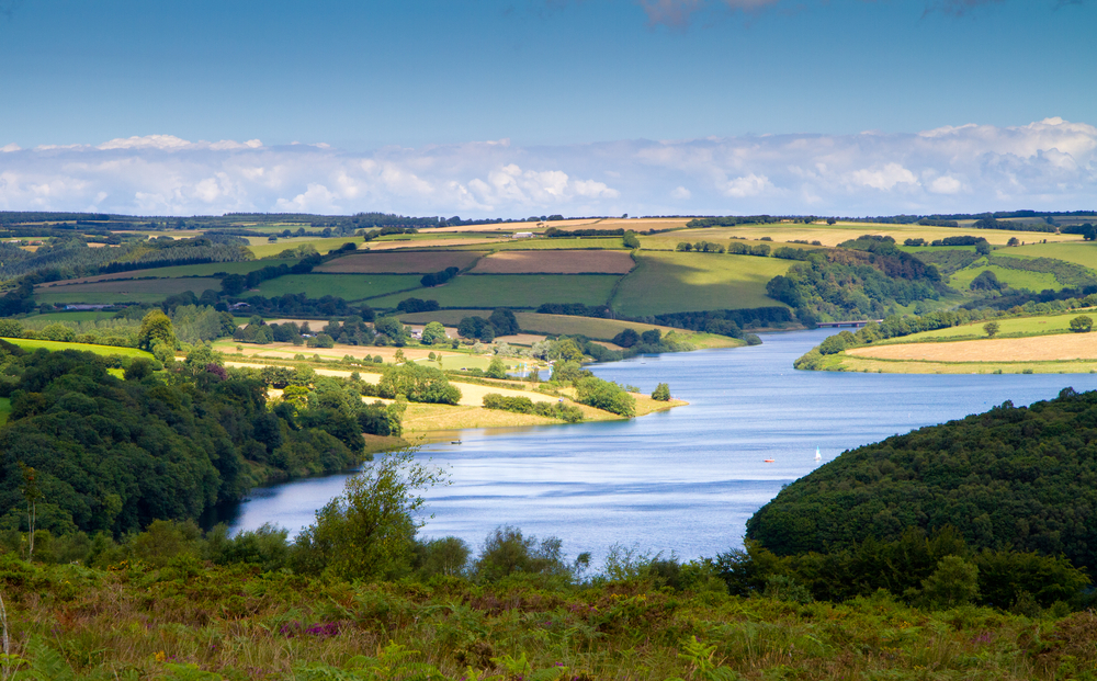
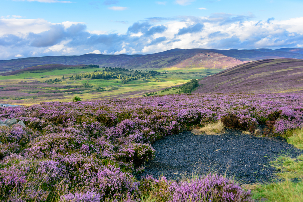
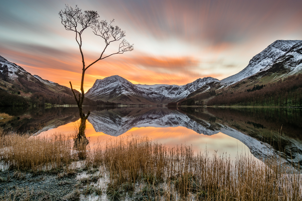
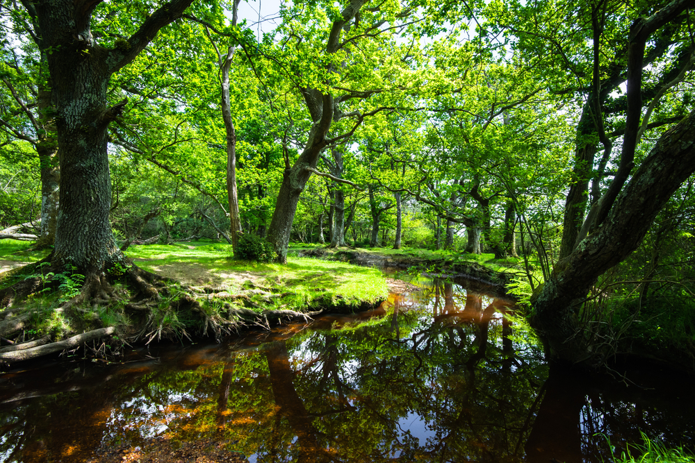
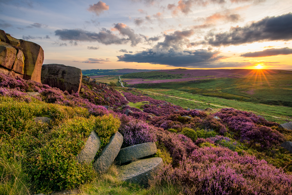
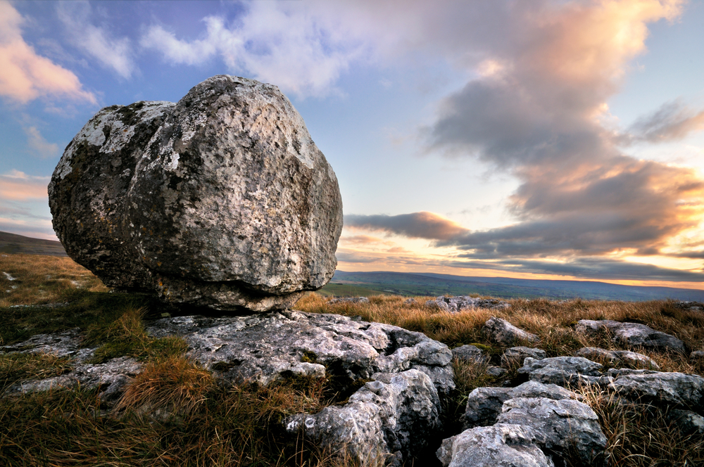
Exmoor National Park Pictures
Exmoor National Park Trails
Sources
- All Trails, Best Trails in Exmoor National Park, https://www.alltrails.com/parks/england/somerset/exmoor-national-park, retrieved April 2024.
- Britannica, Exmoor National Park, https://www.britannica.com/place/Exmoor-National-Park, retrieved April 2024.
- Exmoor Magazine, Exmore National Park, https://www.exmoormagazine.co.uk/category/exmoor-national-park-news/, retrieved April 2024.
- Exmoor National Park, Government Site, https://www.exmoor-nationalpark.gov.uk/, retrieved April 2024.
- UNESCO, North Devon Biosphere Reserve, https://en.unesco.org/biosphere/eu-na/northdevon, retrieved April 2024.
- Visit Exmoor, Exmoor National Park, https://www.visit-exmoor.co.uk/, retrieved April 2024.